Charles River Esplanade Given Landmark Status

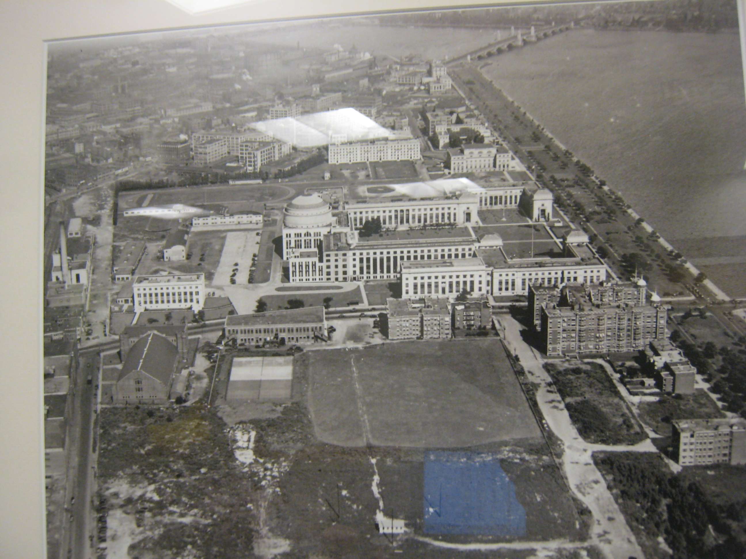
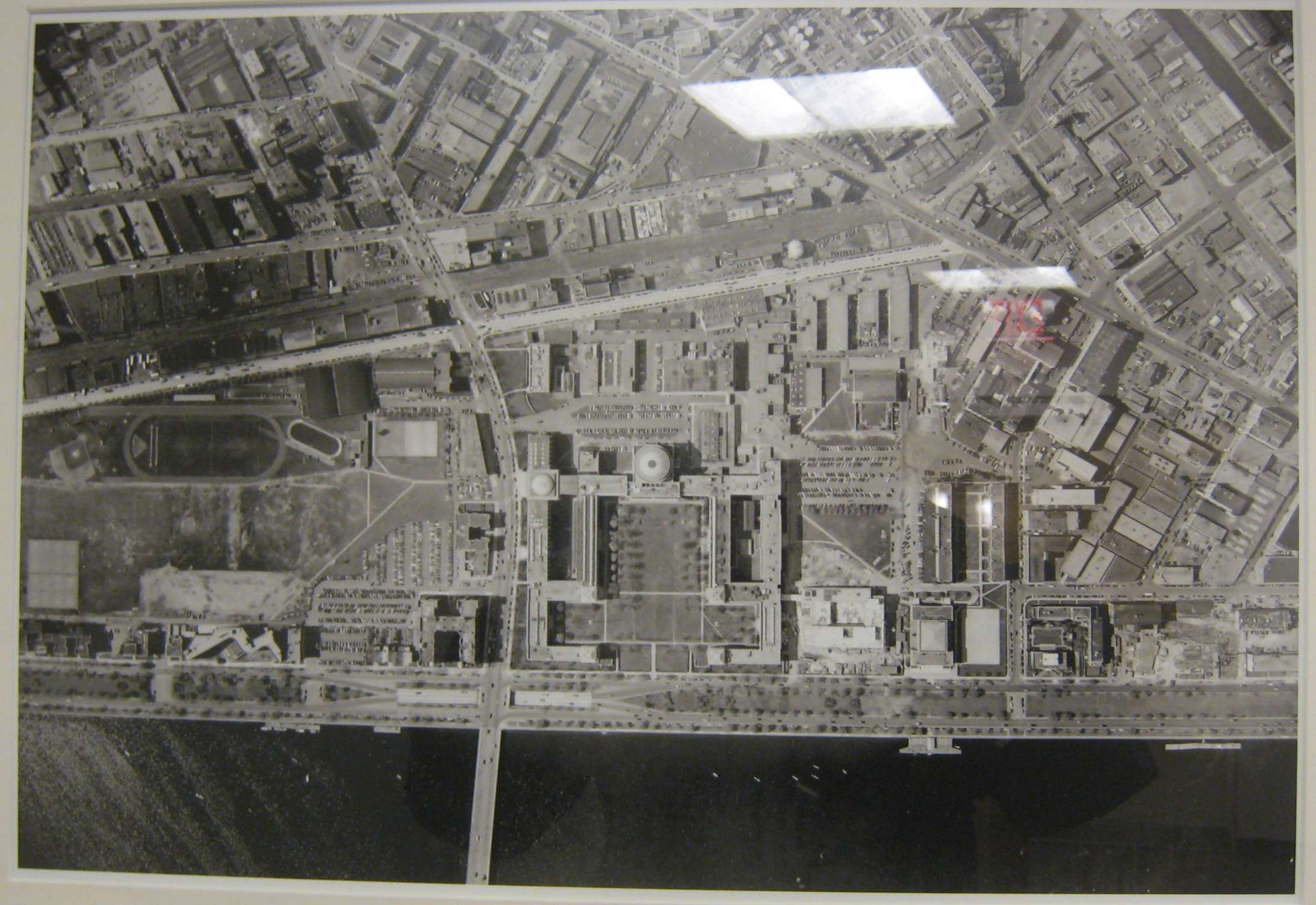
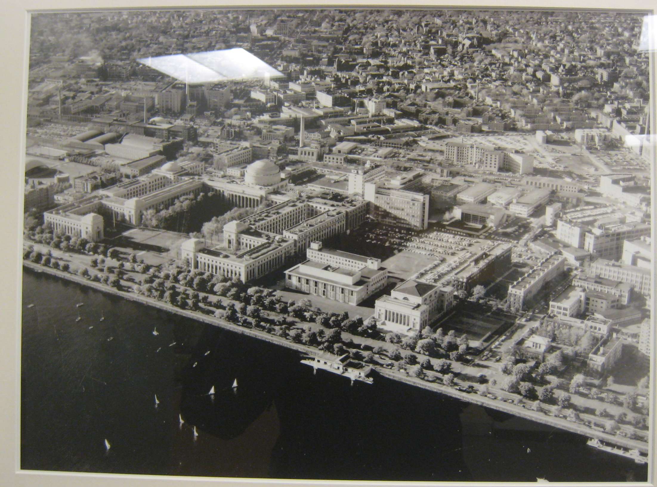
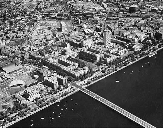
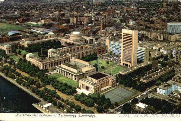
The 1894 map envisions the neighborhood adjoining the 'Cambridge Esplanade' as an elegant second Back Bay. As we know, eventually it became MIT instead. A few apartment blocks were built as part of the earlier plan and were incorporated into MIT as dormitories.
 
Right. That area, like Comm Ave. around BU and Boylston Street by Fenway Park, was one of those areas laid out at the turn of the century that took decades for anything to be built there. MIT acquired a good chunk of the land in 1924, but didn't do anything with it for at least a couple of decades.

You can see in this 1925 aerial how scruffy the land was some 30 years after it was created:

mit01925.jpg


It was only in the 1940s that the land was developed in any meaningful way (e.g. Baker House, athletic fields), as this 1950 aerial shows:

mit01950.jpg


Both images were pictures I took of pictures hanging up in MIT's 600 Tech Square administrative offices.
 
they're putting new copper tops on those two castle like buildings faceing the river at mass ave
 
I took a lunchtime walk today over a short section of the Esplanade - just from Fairbanks Street pedestrian overpass to the Dartmouth Street one. Sadly, it looks like a good deal of willows came down as a result of our recent storms - large fresh stumps are everwhere.

I usually walk the esplanade only on crowded days - weekends, July Fourth, Earth Day concerts, etc. Taking this lunchtime walk on a quiet, hot, and meditative day reinforced to me how utterly cut off from the city the Esplenade is, especially in this area by the Back Bay. First, there is little or no guidance to pedestrians on how to reach the footbridges. Second, Storrow Drive is a noisy and ugly barrier, both psychologically and physically. And third, beyond that, Back Street is the literal and figurative butt of the Back Bay. Someone standing on the banks of the Charles River and looking towards a well-known elegant brownstone neighborhood should not have to see (beyond the freeway!) a row of garages, parking spaces, and ad-hoc dilapidated wooden patios that would be more at home in Somerville.

"The other waterfront" - there's work to be done here, too.
 
Last edited:
Solution: develop Back Street and cantilever new housing over Storrow that fronts directly onto the Esplanade. Bribe and/or offer a subsidized land swap to current Beacon St. residents so they don't whine about lost views.
 
Bury Storrow Drive and pay for the tunnel by auctioning off the new land under strict design/development guidelines. Back Street becomes a mini Parisian boulevard fronting the esplanade with cafes at ground level and french flats above. The Blue Line from MGH to Kenmore and a takeover of the D Line could be part of the tunnel project as well.
 
That's a solid idea, Lurker. Traffic nightmare during construction, but if executed correctly, a great end result. Just make sure the tunnel is designed to hold buildings above this time.
 
Back Street, like the rest of the Back Bay alleys, is used for parking, deliveries, garbage pickup, and other such uses. If you take it away, you'll have to compensate the Beacon Street north-side property owners and find some replacement solution for these.

(When I was an MIT student, I lived in a co-op house at 111 Bay State Road, and we used our 'back yard' for all of these purposes, as well as a bicycle storage shed)
 
There's really no reason none of that stuff can be done on Beacon St. directly, Ron. In New York there are no alleys and smelly trash gets dumped on the street directly but no one complains. If it happened on half a street in Boston I'm sure the residents would survive, especially if they had Back Bay addresses. It's just absurd there is a street next to the Esplanade with nothing but "garages and trash pickup".

But, of course, these people would have to be paid off somehow to make anything worthwhile happen.

Bury Storrow Drive and pay for the tunnel by auctioning off the new land under strict design/development guidelines. Back Street becomes a mini Parisian boulevard fronting the esplanade with cafes at ground level and french flats above. The Blue Line from MGH to Kenmore and a takeover of the D Line could be part of the tunnel project as well.

This is, of course, an awesome idea but it would turn out like the Greenway and we'd wind up with an expensive tunnel and a bigger Esplanade that goes directly up to shitty Back St.

Plus the Storrow tunnel would be a bitch to keep from flooding, wouldn't it?
 
I understand, but this flaw (if you want to call it that) dates back to the very beginning of the Back Bay fill plan, long before Storrow Drive or even the Esplanade. All of the alleys, including Back Street, were created in order to move 'service' functions off the long east-west streets.
 
Manhattan's trash smell is awful. This is me complaining about it.
 
Can the Charles River Esplanade be transformed into the world's best park?
By JON GARELICK | February 8, 2012


The provisional plan — or "Vision," as it's being called by the Esplanade Association (TEA) — looks to be the first major overhaul of the city's green space since completion of the Rose Kennedy Greenway in 2007. It is the result of about two years of work by the private, nonprofit TEA to transform the Charles River park designed 100 years ago by Charles Eliot. To create "The Vision," the association drew on pro-bono input from landscape architects, urban designers, architects, horticulturalists, transportation experts, and graphic designers. The process also included multiple public meetings, as well as the close cooperation of the State Department of Conservation and Recreation (DCR), which controls the park

Read more: http://thephoenix.com/boston/news/1...r-esplanade-be-transformed-int/#ixzz1lugsjwCb
 
Right. That area, like Comm Ave. around BU and Boylston Street by Fenway Park, was one of those areas laid out at the turn of the century that took decades for anything to be built there. MIT acquired a good chunk of the land in 1924, but didn't do anything with it for at least a couple of decades.

You can see in this 1925 aerial how scruffy the land was some 30 years after it was created:

mit01925.jpg


It was only in the 1940s that the land was developed in any meaningful way (e.g. Baker House, athletic fields), as this 1950 aerial shows:

mit01950.jpg


Both images were pictures I took of pictures hanging up in MIT's 600 Tech Square administrative offices.


KZ -- one of the unintended consequences of resurecting an old thread -- some great stuff from the past surfaces -- a bit like digging for a KFC and un-earthing a statue of Ramses II -- this actually happened in Egypt

But more to the point the two pix of MIT are amazing:

In the first one -- 77 Mass Ave -- the Institute's front door didn't yet exist
In the 2nd one -- Building 20 -- the place where to a large extent WWII was won

I hope someone can locate an MIT pic from the early 60's showing the beginnings of the moderene MIT campus
 
Last edited:
I'm admittedly a bit short on pics from that period, westy, but in general I have a whole cache of MIT pics from all periods.

1955:

mit01955.jpg


mit1955chapelgym.jpg


^ came from this stellar set on Flickr. I HIGHLY recommend you check it out.

1963:

mit01963greenuc.jpg


1965:

mit01966coloraerial.jpg


1966...note how the courtyard was redone in the year between the above and below pics.

mit196610haydengreen.jpg
 
Giant Ferris Wheel on Esplanade

Creative spin on Esplanade

Ferris wheel part of ‘Vision’ for future

By Greg Turner
Friday, February 10, 2012 -

A Ferris wheel like the London Eye could turn into a money maker for Boston’s Esplanade, according to an ambitious park revitalization plan unveiled last night.

The Esplanade Association, a nonprofit group that partners with the Department of Conservation & Recreation, outlined 10 “big ideas” for the park:

• Revive the park landscape and improve its maintenance;

• “Rescue” key gathering spaces with a year-round cafe opposite the Hatch Shell, a rebuilt Boston University Sailing Pavilion with observation deck, a pool complex at Charlesbank and Ferris wheel next to the Museum of Science;

• Return Storrow Drive to a “true parkway” by realigning pavement;

• Redevelop the Charles River dam to open up “lost river views”;

• Reclaim parkland by removing the Bowker Overpass and opening up the Muddy River;

• Introduce a “fast lane” for runners, cyclists and skaters;

• Create “beautiful gateways” and a welcome center;

• Make the park a major public arts venue;

• Develop a unified park identity with signs and wayfinding systems; and

• Secure resources to realize the vision.

http://www.bostonherald.com/busines...art_of_vision_for_future/srvc=home&position=5
 
Re: Giant Ferris Wheel on Esplanade

Most of these sound like good ideas, but the ferris wheel seems a bit gimmicky. And of course that last bullet is the main problem to begin with. I do hope they manage to get most of these done, especially the points about Storrow and the Bowker.
 
Last edited:
Re: Giant Ferris Wheel on Esplanade

I think the London Eye cost around $200 million, so very unlikely unless a Facebook zillionaire finances it, that we will see it before MMC.
 

Back
Top