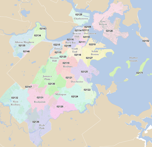
Where is the congestion zone exactly? Would there be signs or anything obvious telling me the streets to avoid? Typically I leave work after 6 so if the zones ended at 6 I could walk without paying.
However, many of my favorite places to park are probably near or within the congestion zones. For instance, the boathouses on Memorial Drive become infinite parking after 5:30, and I love to walk the river. I also park on the Beacon Street bridge over the Pike on days the Red Sox aren't playing. Other places include near Davis, Porter, Harvard, by MIT (right off Mass Ave), Highland Ave Somerville, Beacon Street Brookline, Summer Street by convention center, and a personal favorite street in the financial district that becomes up for grabs (and always open) after 7 pm. This is far from comprehensive but a good idea of the typical places I cover. When my destination is "a good walk" I do try to avoid the worst of the traffic.
Ultimately, the extra costs to me would depend on whether the zone went to 6 or 7pm, was still active on the weekends, and how easy it would be to avoid certain areas. I would assume that driving near Alewife/Fresh Pond wouldn't be quite in the zone since it kind of defeats the purpose of steering people towards mass transit. When I leave work I am right on the outskirts of everything, but it would be alarming if every direction toward urbanity came with a toll attached. The suburbs are not conducive to my walks.


