Charlie_mta
Senior Member
- Joined
- Jul 15, 2006
- Messages
- 5,150
- Reaction score
- 7,778
View attachment 32329
View attachment 32330
[/QUOTE
The above pic was before the newer John Hancock Tower was added & stuff at the Pru. Nice!!")
added
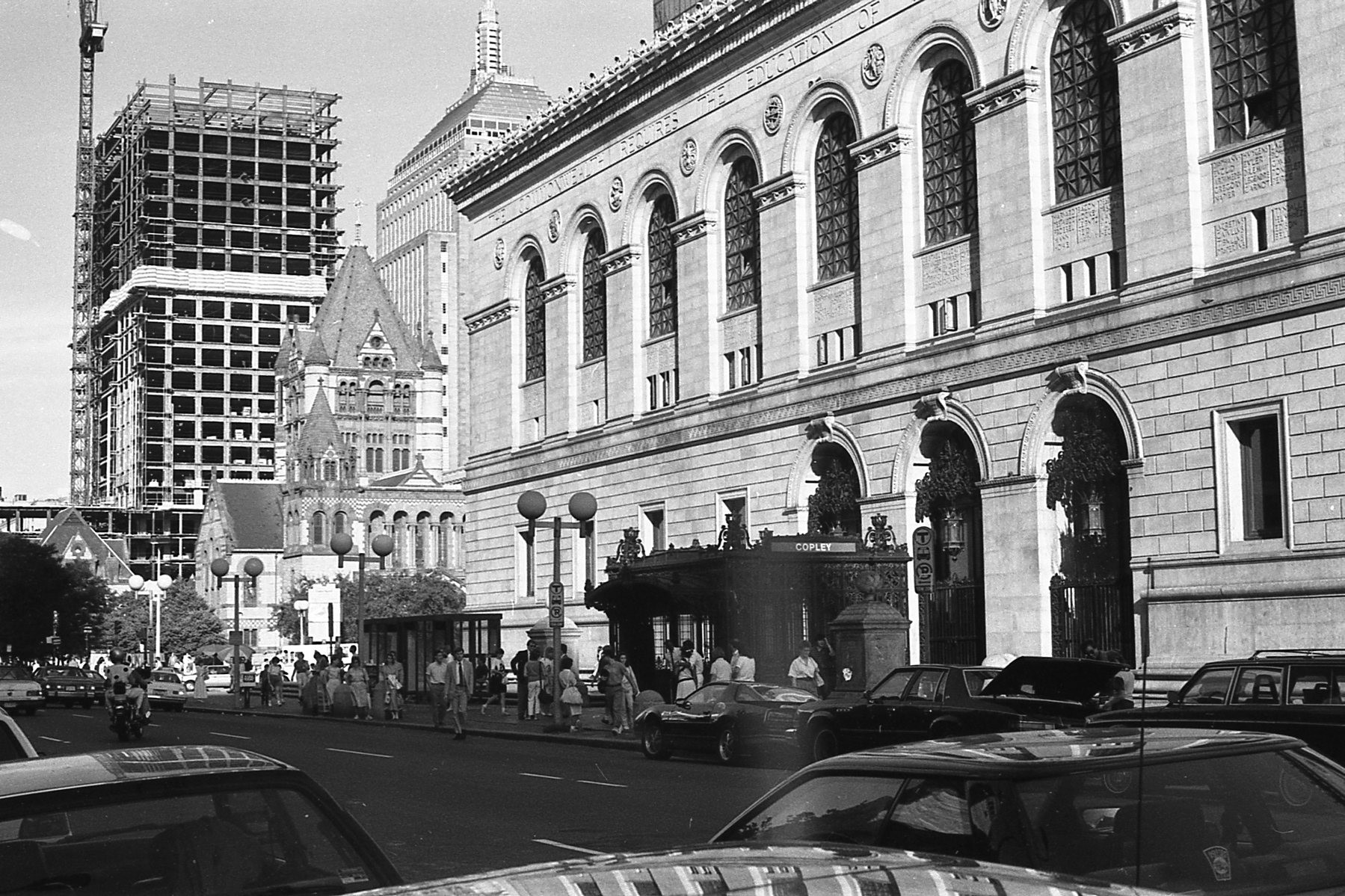 1987 007 by Robert Rynerson, on Flickr
That's 500 Boylston U/C, right?
 42-874 by nick dewolf photo archive, on Flickr
 02-757 by nick dewolf photo archive, on Flickr
That first one (shown above) looks early 20th century, but it shows a bunch of tall buildings around the GC area. Huh?
That first one (shown above) looks early 20th century, but it shows a bunch of tall buildings around the GC area. Huh?
It looks like that aerial image is a highly stylized depiction that took some liberties with reality. It looks great but it did distort a lot of the buildings.There seems to be some oddities in that 20th Century Boston image. The Grain Exchange building is not next door to the Customs House as it appears in that drawing.
 Hindenburg flies over the Boston Common in Boston, Massachusetts in 1936 by Willi Senf, on Flickr