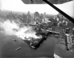
"Dirty Old Boston"


Newer arenas/stadiums are better in almost every way except one, a big one… how close they put the upper seats to the action. Older arenas had no problem putting the upper rows right over the lower rows and making both much steeper making a much more intimate environment. Im sure some of the change has to do with accessibility, but in the last couple years a few newer places have started bringing the seats in closer. The u/c clippers arena is taking it a little bit further too at one of the ends of the arena. Hopefully this trend continues.
 
Newer arenas/stadiums are better in almost every way except one, a big one… how close they put the upper seats to the action. Older arenas had no problem putting the upper rows right over the lower rows and making both much steeper making a much more intimate environment. Im sure some of the change has to do with accessibility, but in the last couple years a few newer places have started bringing the seats in closer. The u/c clippers arena is taking it a little bit further too at one of the ends of the arena. Hopefully this trend continues.

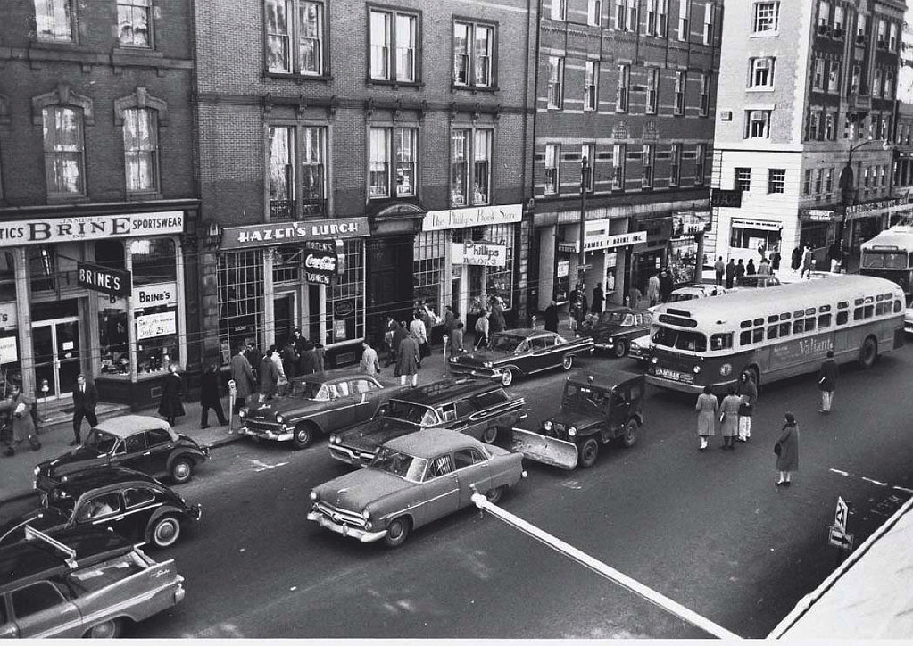
........also, look around at all the newer places of the past 20+ years. What do you see? Far more hospitality suite glass windows, separating the elite (business meeting- not really into the action) from the communal sports fan.

Most big-time sports events today are more akin to polo or golf tournament hospitality tents, with fewer seats for fans who just want to cheer on their team. I miss the day when 95% of a ballpark or stadium was simply people outside losing their voices joyously together.
 
4860E62B-91AD-4466-8416-F1AD6CBAE8C4.jpeg
 
Really cool find.
I'm guessing this is the Union Church on Rutland and Columbus. Gotta say... looks much nicer now. I realize that it must have been late fall or early spring, but there is so much more going on there now!
It makes me wonder about where the families who live in those buildings in the background are now. I'd guess their homes were taken for the later axed Southwest Expressway project and replaced eventually by Titus Sparrow Park.
I think that is St Botolph Street in the background. Its a clear eye shot because of fewer trees and some camera setting. green turret
 
Really cool find.
I'm guessing this is the Union Church on Rutland and Columbus. Gotta say... looks much nicer now. I realize that it must have been late fall or early spring, but there is so much more going on there now!
It makes me wonder about where the families who live in those buildings in the background are now. I'd guess their homes were taken for the later axed Southwest Expressway project and replaced eventually by Titus Sparrow Park.

The whole of the Southwest Corridor stretch offers such fantastic juxtapositions between the intimate, sanctuary-like feel of the old brownstones (or neo-brownstones) and forest canopy, set dramatically against the soaring regal majesty of the Back Bay spires. I could walk the length of the SW Corridor 1,000 more times, and the vistas will never grow old...
 
Really cool find.
I'm guessing this is the Union Church on Rutland and Columbus. Gotta say... looks much nicer now. I realize that it must have been late fall or early spring, but there is so much more going on there now!
It makes me wonder about where the families who live in those buildings in the background are now. I'd guess their homes were taken for the later axed Southwest Expressway project and replaced eventually by Titus Sparrow Park.
I really wish I could see the old south end in the 60s and 70s because the difference between then and now seems mind blowing. I think we really got lucky it largely exists as it did before 1950 and that it didnt become a victim of total urban renewal. RIP NY streets though
 
I really wish I could see the old south end in the 60s and 70s because the difference between then and now seems mind blowing. I think we really got lucky it largely exists as it did before 1950 and that it didnt become a victim of total urban renewal. RIP NY streets though
I was around then, and as I recall, the South End was considered a down and out area by the city and the general public; not quite a "slum" as the old West End had been regarded by the city, but still a rundown and economically depressed area. Two things spared it from the urban renewal bulldozers: its size, which was much larger than the old West End; and, the charm and architectural quality of the many rows of old townhomes. Even the boneheaded bureaucrats at the time could see that this was a unique area worth saving.
But even by 1971, young urban professionals had started to move into the area, some that I personally knew.
 
I had to check Google Maps. It's sad that all those buildings on the waterfront are gone. I highlighted the two buildings that orient the photo for me.

1682701584157.png
 
Its even worse that what replaced them is that god forsaken garage.

Rowes Wharf???????

Harborwalk?????

Rose Kennedy Greenway instead of the elevated Central Artery in that old pic?????

I can't find one tree, park or place for humanoids to sit and enjoy the outdoors in that old pic.

In the new pic, I see marinas and Harbor cruise boats for tourists and whale watches. In the old pic the only boats are firefighters (who look like they lost the battle in the lower center of that pic).

Today is not perfect by any means, but I don't wish to trade for the dystopia of Boston circa 1960. But, yes, there was a lot of beauty and detail in much of the old buildings, I miss that.
 
Last edited:
I guess I could have written my comment better, but I was only talking about the buildings that were replaced with the garage.
 
Rowes Wharf???????

Harborwalk?????

Rose Kennedy Greenway instead of the elevated Central Artery in that old pic?????

I can't find one tree, park or place for humanoids to sit and enjoy the outdoors in that old pic.

In the new pic, I see marinas and Harbor cruise boats for tourists and whale watches. In the old pic the only boats are firefighters (who look like they lost the battle in the lower center of that pic).

Today is not perfect by any means, but I don't wish to trade for the dystopia of Boston circa 1960. But, yes, there was a lot of beauty and detail in much of the old buildings, I miss that.
I agree pretty much with you on this, but there may have been some opportunity back in the 1960s to save at least the facades of the more prominent/interesting old buildings, and in some cases entire buildings, for those fitting into the urban renewal project layout. IMO, that's also the issue with the GC and Charles River Park 1960s projects. A surgical approach of removing some buildings and saving others, and infilling with new buildings and pocket parks, would have been preferable to the wholesale leveling of entire districts.
 
Following the previous post by stick n move .... what intrigues me is the various modes of transportation, the rail fright in the upper right, the commuter rail heading into the garage, the trolleys which go everywhere and even the horse-and-buggy taxi service with a strategically placed water trough and not to forget the archway of the massive garage which is very impressive. It's a fascinating picture highlighting architecture and transportation during the late 1800s.


IMG_3670.jpg
 
Last edited:

Back
Top