Dorchester Infill and Small Developments

^ I appreciate it but no one has to thank me for anything. But yes I cant get a home loan at the moment so Im in a rooming house.
 
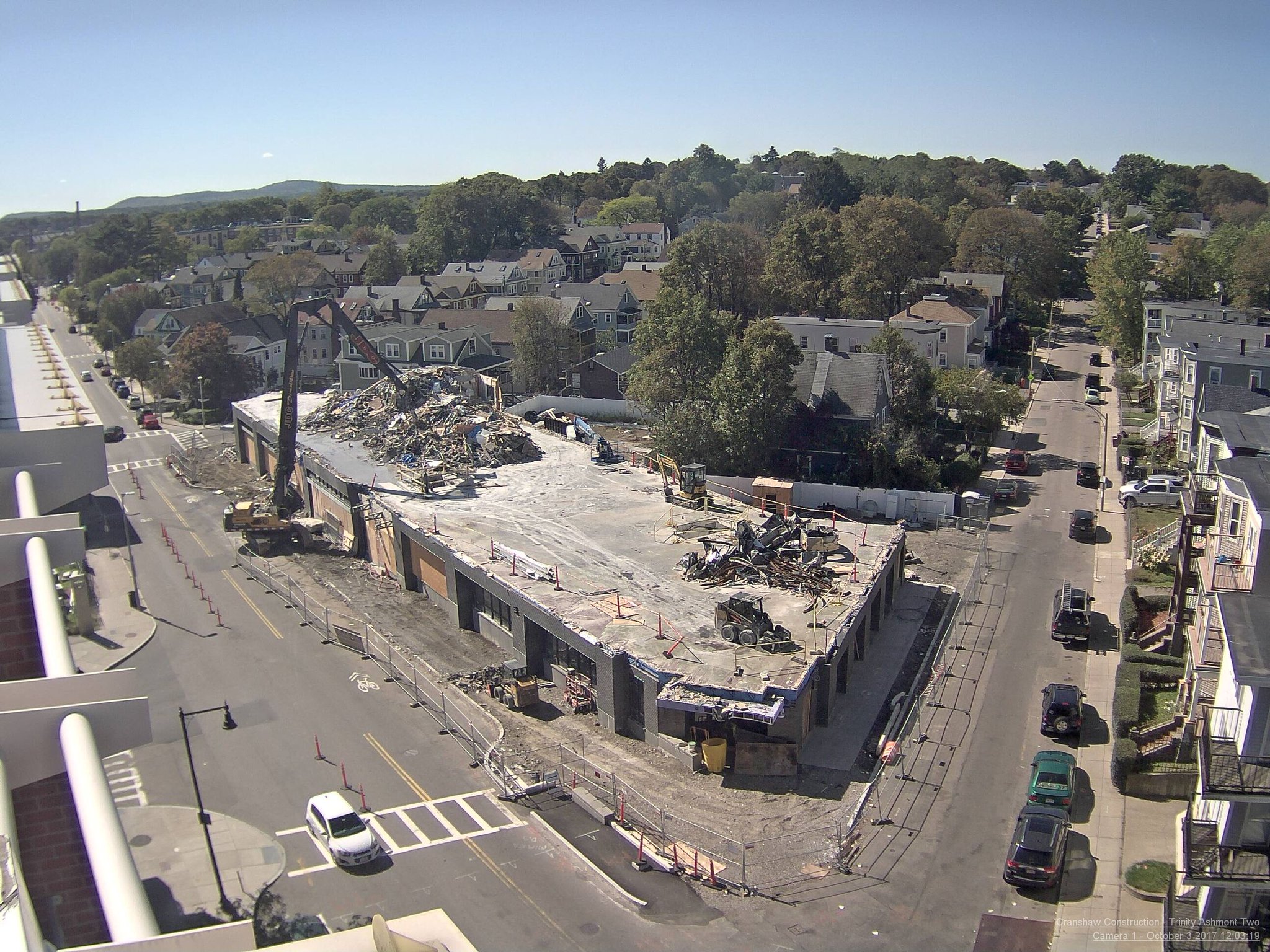
The corner of Dorchester Avenue and East Cottage Street would be transformed in a new mixed-use building on what is now the Tom English bar and Dorchester Market site, developers told the Columbia Savin Hill Civic Association’s planning committee on Tuesday. Dorchester Market would remain part of the plan, under the same management, but in a newly-designed space.

Adam Sarbaugh of Cornerstone Real Estate and his team showed plans for a single building which would rise up to six stories at some points. The proposal includes 40 units — 20 studios, 14 one-bedrooms, and 6 two-bedrooms — two retail spaces, and 22 underground parking spaces.


http://www.dotnews.com/2017/developers-offer-details-tom-english-site
 
South Bay center

South-Bay-Town-Center-Proposed-Redevelopment-EDENS-ADD-Inc-Stantec-Dorchester-Rendering-1.jpg


edens2.jpeg
 
A little transit oriented transformation housing at Shawmut station
 
Isn't this South Boston, not Dorchester?

Yep definitively Southie.

According to google maps the boundary between the 2 neighborhoods is I-93. That seems about right. But I've never seen Andrew referred to as Dorchester even though it's close to the border.
 
This is the type of project that, if allowed everywhere, would solve the housing crisis. Note that the cost is 7 million - ~280k in construction costs per unit. Not having to build parking makes it much easier to build affordable.

Not to derail, but: This is what makes the loss of SB 827 in California yesterday so tragic (Proposed big density zoning boosts along transit lines and bus routes, including reduced parking minimums). Incredibly, when you scrolled deep into the twitter debates, some people thought the reduced parking was the most egregious part of the bill.
 
This is the type of project that, if allowed everywhere, would solve the housing crisis. Note that the cost is 7 million - ~280k in construction costs per unit. Not having to build parking makes it much easier to build affordable.

280k per unit is still a lot, when you factor in these are smallish one bedrooms that are almost like studios. Doesn't seem like these would be big enough to double up on.
 
Not to derail, but: This is what makes the loss of SB 827 in California yesterday so tragic (Proposed big density zoning boosts along transit lines and bus routes, including reduced parking minimums). Incredibly, when you scrolled deep into the twitter debates, some people thought the reduced parking was the most egregious part of the bill.


Californians are all for the environment....unless it interferes with their lifestyle.
 
Yep definitively Southie.

According to google maps the boundary between the 2 neighborhoods is I-93. That seems about right. But I've never seen Andrew referred to as Dorchester even though it's close to the border.

I’d say Andrew is pretty border zone-y but most people today would probably put it in South Boston but on the margin of Dorchester. The boundaries of neighborhoods on Boston, as much as people fight and quibble over them, are actually defined in a pretty arbitrary manner. Show me your garbage collection map, your police map, your neighborhood committee map... none of these are “real” or “official” since the land and definitions of the neighborhoods never correlated with a government body, or if it did, the definition and boundaries shifted too many tones over the years. As for what google maps shows - those are complete BS and have all sorts of made up neighborhoods (Brookline has "Emerson Gardens" which is probably invented by a real estate company; Roslindale has "Centre South", also made up).

Technically, the entire Back Bay, despite being underwater, once was part of Roxbury. And even in the 70s, Longwood was part of Roxbury and hadn’t gotten rebranded as its own thing. Ditto Mission Hill, which is part of Roxbury yet is often sold by realtors as being a split off of Jamaica Plain. The only “real” neighborhood borders are the ones between Rox, Dorchester, and Boston. The caveat is that Dorchester was annexed piece by piece until they took the main body of it in 1869. The 1829 map of Boston clearly has Andrew Square in Dorchester, but by 1868, one year before full annexation, the strip of northern Dorchester had already been taken into South Boston. In the end, despite people loving to argue over territories, in the absence of any municipal definition in a meaningful sense, I think the boundaries of neighborhoods - like all definitions - only hold to what people of the present think they are. And what the neighborhood committee or BRA designates as one neighborhood doesn't necessarily correspond to people's opinions.

This survey, which many people on here have probably already seen, shows how there are parts of every neighborhood that are “definitely“ one neighborhood and not another, but how the border zones are defined differently by different people... it is also not surprising to note that neighborhoods such as Mattapan, Dorchester and Roxbury have proportionally much smaller consensus zones, probably reflective of the demographic who took the survey. Would be a VERY interesting survey to repeat and collect demographic variables, hometowns and current residences.

So, should this project be moved to Southie???


Back to not bloviating on AB: Boston has so many intersections with good opportunities for flatiron-type buildings, but a lot of the triangles are occupied by parking lots in front of 711's or Dunkin Donuts. Glad to see this project. There was a good one in Everett Square (which is in what neighborhood?) a few years back.
 

Back
Top