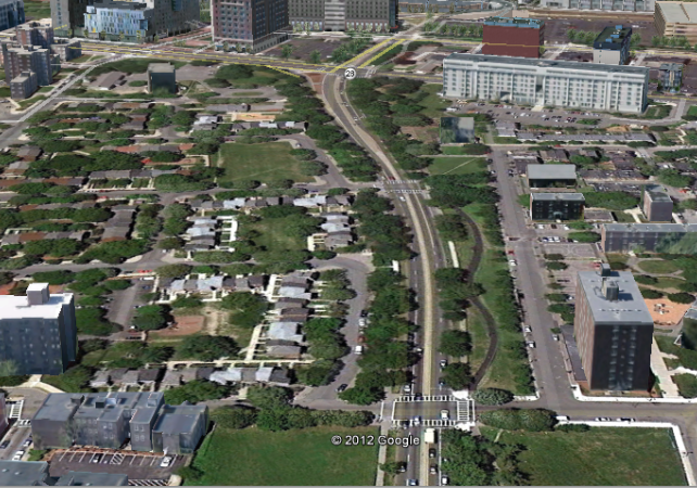
Why not just close that narrowest part of Washington Street to cars and make it a trolley-only (or for that matter, Silver Line bus-only) reservation? There are several parallel streets that cars can use instead.
Well, if you're going to close any part of a road that's already in existence, I (and many others, I'm sure) want more than a bus in exchange.
You could shut it down for surface-level tracks, but that doesn't solve the pedestrian crossing problem.
I still don't understand what the problem with burying a Silver Line Light Rail is. The tunnel to connect SL rail Waterfront and Washington is still right there, ready to go, no ten-digit investment needed. Running tracks out to the Pavilion shouldn't be hard with most of that infrastructure primed for conversion already anyway - the only real obstacle is rail down Washington, and almost all of the objections to THAT vanish instantly once you make the committment to getting the hell out of surface level.
And once we get rail back at Dudley, we can have a serious conversation about, say, F-Line (heh) or Silver Line through Roxbury Crossing to Brigham, and maybe on past Brigham to connect to D and C line service.
We could go another direction, too, past Dudley back to Forest Hills and down to Hyde Park, leaving the Orange Line free to be extended to West Roxbury and not having to try and negotiate a routing to Hyde Park via Roslindale.
Hell, do both and fork the line. Let the C-D-E connecting branch of the Silver Line run to the airport, and have the other branch be Hyde Park-Waterfront.
But none of that can happen until we acknowledge that the bus can't and shouldn't be fixed, and we need to throw it away before doing anything else.