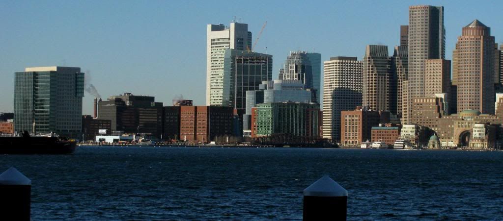
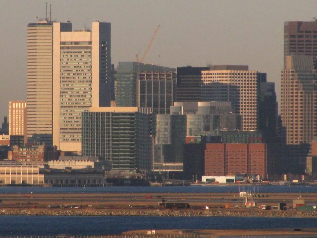
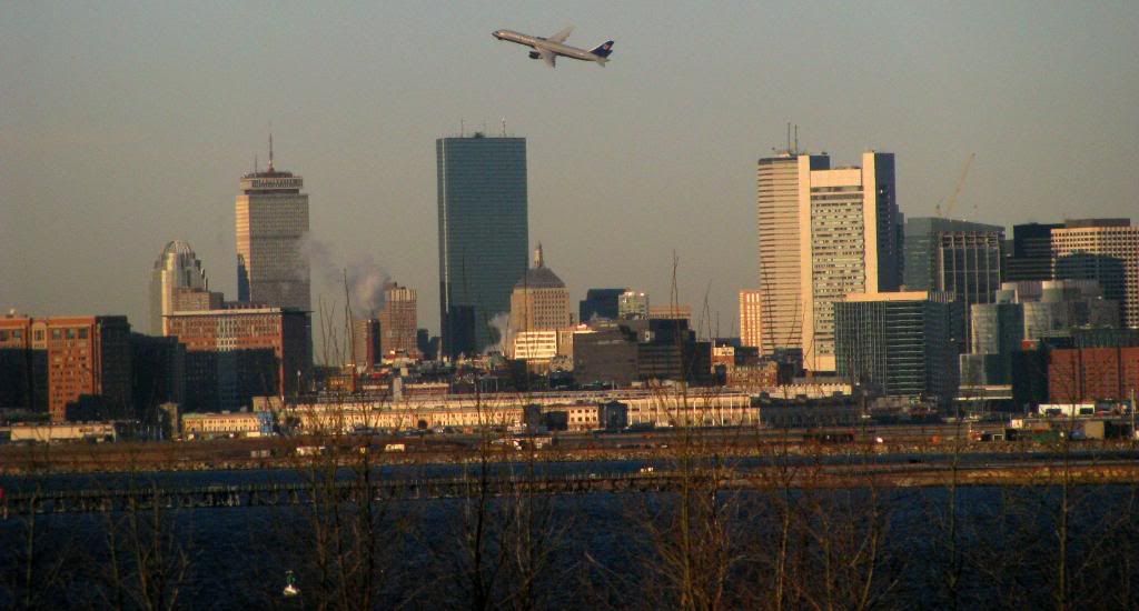
Fan Pier Developments | Seaport

today
088-4.jpg
045-9.jpg
062-13.jpg
 
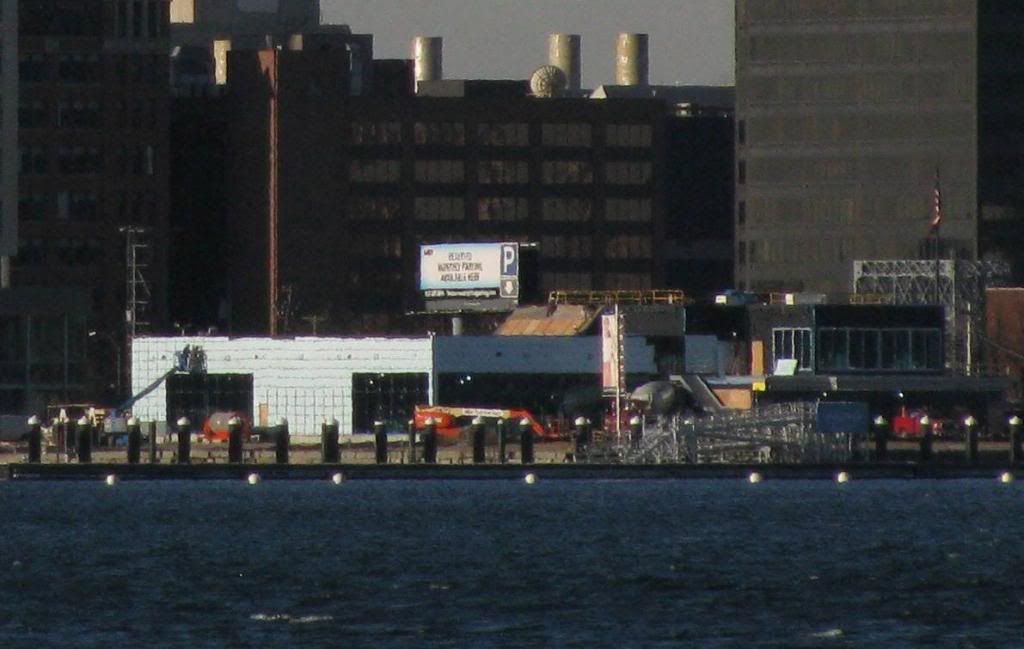
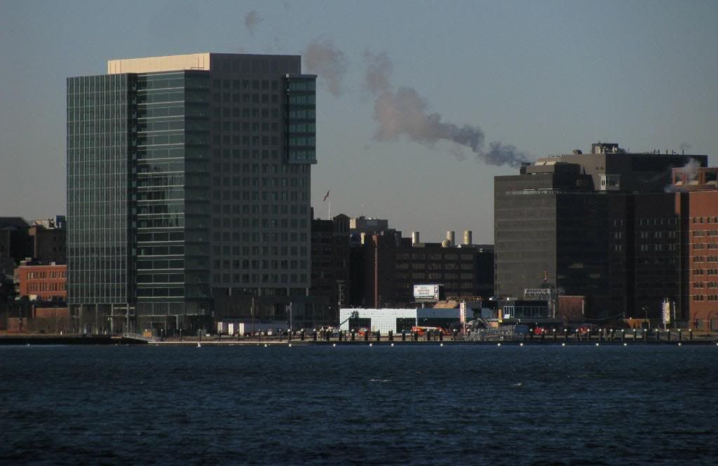
^^ One Marina Park Drive has basically the same massing as the Postal Service facility that the city (and I) hopes to knock down. Architecture that's little different (throw in some glass and white pre-cast) to that of a hated bureaucratic office that everyone wants torn down -- that's inspiration for you.
 
^ funny thats what I thought too! looks like a car dealership on rt 1
 
"Hi, I'm Ernie Boch the Third. I invite you and your family to come down to our newest dealership on the Fan Pier Automile!"
 
The Menino Desert. Nothing grows among its wind-swept expanses but the occasional stump.

Hideous. A hideous legacy of a failed Mayor. All of it.
 
In the pantheon of bad ideas where does, Louis Boston's 'hey, let's leave our iconic spot in the Back Bay for a glorified truck stop on fan pier' rank? I'd say a few spots behind trading Babe Ruth and a few spots ahead of New Coke.
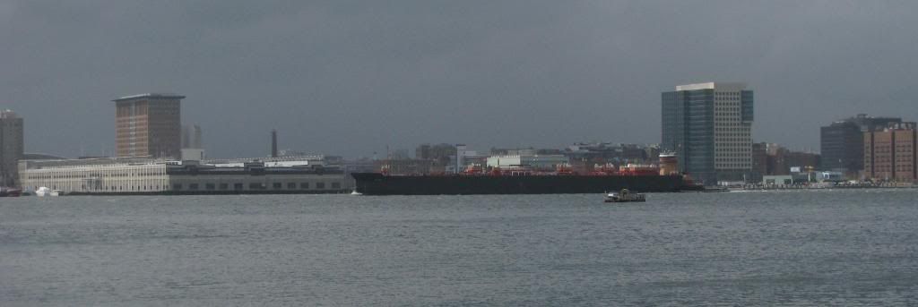
 
In the pantheon of bad ideas where does, Louis Boston's 'hey, let's leave our iconic spot in the Back Bay for a glorified truck stop on fan pier' rank? I'd say a few spots behind trading Babe Ruth and a few spots ahead of New Coke.

Makes me think of the good people of Troy dragging that big wooden horse inside their city walls.
 
Louis Boston opened this week, n'est pas? I heard that, but is it even possible/
 
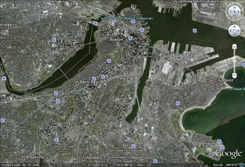
This image confuses me.

I see south station, I see where the courthouse is.....but is the rest water? Was it filled in?

file.php
 
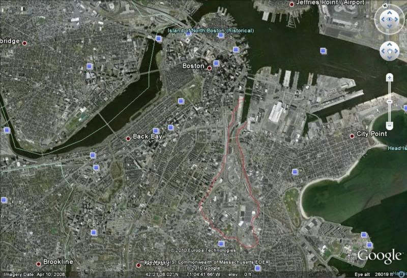
This image confuses me.

I see south station, I see where the courthouse is.....but is the rest water? Was it filled in?
file.php


Yup sadly it was you can see on google earth exactly where it used to go too. Its crazy their so hell bent on saving historical sites yet they completely filled in one side and only partially on the charles river side which turned out great.

z.jpg


I wish they would pull a dubai type of project and bring back some of what was filled in maybe something small like this
z2.jpg
 
Last edited:
I believe that whole area was originally Dorchester Bay. The land that's shown on the left of the Fort Point Channel was even created by fill. Here's a map showing the expansion and timeline:
http://www.mappingboston.org/html/map19-0.htm#full

This is from the book Mapping Boston, which I highly recommend buying. The online materials suck in comparison.

(stick_n_move beat me to it)
 
Not Dorchester Bay, South Bay. Dorchester Bay is south of Columbia Point.

Yup sadly it was you can see on google earth exactly where it used to go too. Its crazy their so hell bent on saving historical sites yet they completely filled in one side and only partially on the charles river side which turned out great.

I really have no idea what you are talking about. Historic Preservation is mostly a late 20th Century phenomenon. They filled in these areas for economic growth during the 19th century and early 20th. And the South Bay was heavily polluted at the time as well so filling it in was seen as a public health issue.
 

Back
Top