Flickr Finds & Social Media Pics

No one is saying the Central Artery was "better". It was simply arguably no worse (though maybe a little easier to cross under for pedestrians at some points).

Marketplace Center's arch is more than offset by its blank walls. Looks like they were hedging their bets and/or trying to save money. Anyway, it would be a trashy 80s PoMo mall that happened to be attached to Faneuil Hall Market whether or not it had a nice facade along the Greenway.

the suface roads should have been sunken like they are on Storrow dr

This just says it all, doesn't it? The solution to the Big Dig? Another Big Dig.
 
The Greenway beats the Central Artery every time. The rough edges just need to be smoothed out.

Funny how 50 years after the damage caused by urban renewal, the city still needs so much knitting up.
 
The rough edges just need to be smoothed out.

If by this you mean the whole thing needs to be re-imagined and completely redeveloped, then, yes, I agree.
 
No, I mean proper development along its edges to tie it in to the urban fabric. For example, the area around Chinatown which still has the feel of a highway onramp.

Also, those parcels along its length that were meant to be developed need to be.
 
The streets are too wide and there are too many of them (along with too many ramps). If those problems could be remedied the rest would work itself out in time.
 
4882935882_112d69fdf5_b.jpg


Freakin' BEAUTIFUL sewer photos:

http://www.flickr.com/photos/boston_public_library/sets/72157624703666440/

I believe they're all stormwater, though given the time, perhaps it was mixed. There's a few which can be identified as the Stony Brook, which is significantly underground.
 
So this happened.

Before:

5415321785_2b5ca27ded.jpg


After:

Screenshot2011-05-06at52855PM.png


From the Boston Public Library flickr photostream
 
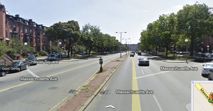
I don't think that first photo is Chester Sq, I think it's probably Worcester Sq.

Edit: It is Worcester Sq, the old Boston City hospital is visible through the trees in the distance,
 
Yeah. Yeah. The photograph is labeled "Massachusetts Ave" but the narrowness before the opening couldn't be Mass Ave, regardless of when the photo was taken.

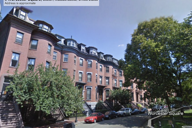
The tops of the townhouses are a giveaway, too. The ones on Mass Ave are traditionally very different.

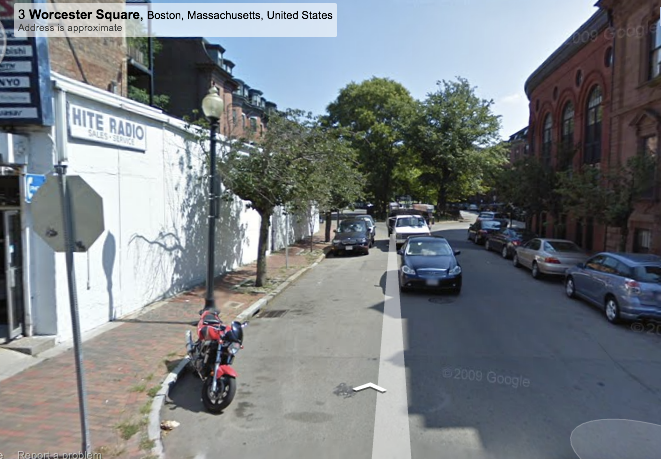
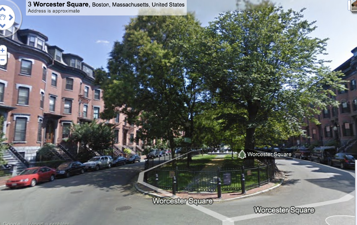
Unfortunately, the Google Maps' images aren't the greatest, but you get the general idea.

Screenshot2011-05-06at102642PM.png


Screenshot2011-05-06at102705PM.png


Screenshot2011-05-06at102713PM.png
 
Did Worcester Sq. get its name from the City of Worcester?
 
Most of the side streets in this part of the South End are named for cities and towns served by the nearby Boston & Albany and New Haven railroads -- Worcester, Springfield, Canton, Newton, Brookline, Waltham, Dover, Dedham, Northampton, etc.

Concord (either MA or NH) doesn't quite fit since you'd get there from North Station, not Back Bay station.

Wouldn't Waltham also not quite fit in, for the same reason?
 
Almost done.

The caption says, "Jordan Marsh Company, s.e. corner of Kingston & Bedford Sts."

Is the Google Maps street view below the same corner, do you think?

5736769073_9f82051a36.jpg


337143214.png
 

Back
Top