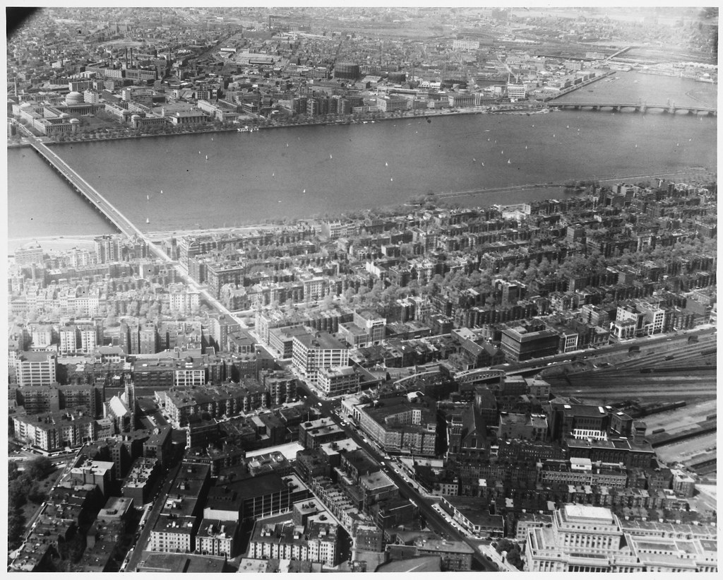
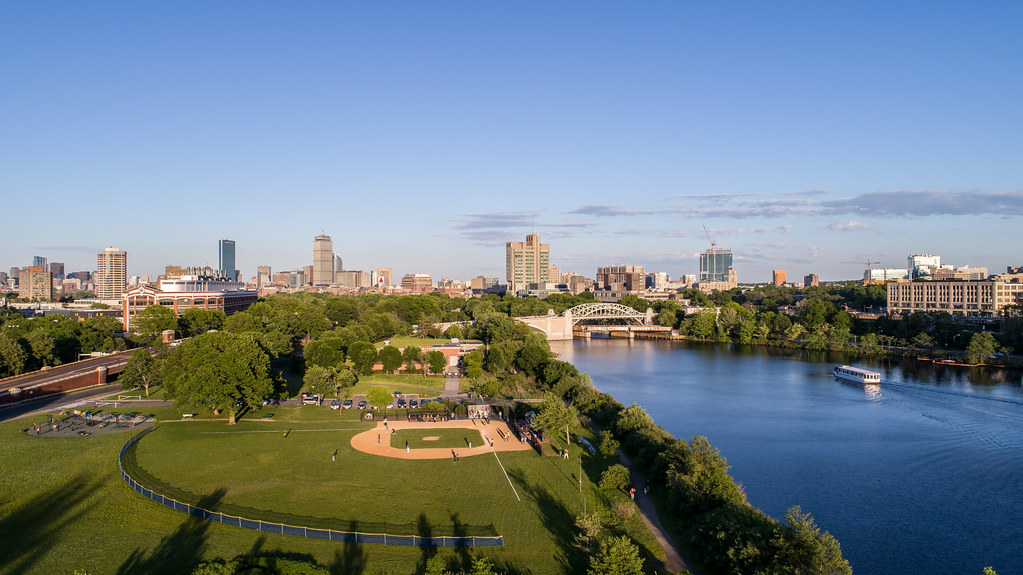
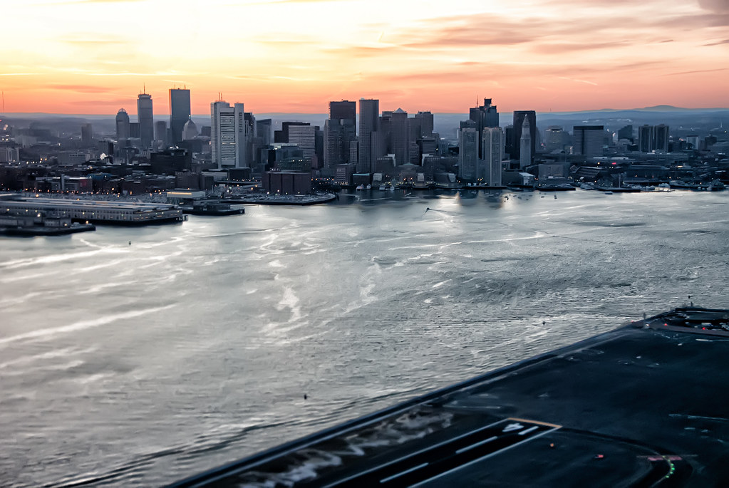
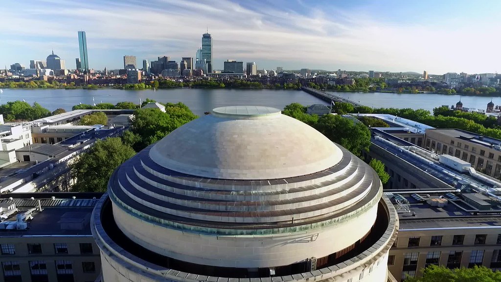
Flickr Finds & Social Media Pics

There's no doubt that Storrow is a resource for moving people, but a parkway (that can't even handle buses!) is the least efficient possible mode to run there. (absolute worst people per lane-mile per hour) If you have a sincere desire to move people, you can only conclude that Storrow needs to lose its car-only restriction.

And note that North Point (Green Line), West End (2 Greens, a Red & a Blue), and Allston Yards (West Station)--the places that will be generating trips --are all on rail transit.

Ergo, the smart use for Storrow is as a surface transitway, either electric bus or Green Line, and for this the T has left a stub at North Station that would permit the Green Line to be extended out Storrow to Kenmore and/or West Station.

Surface Green Line or Silver Line would take about the equivalent space of 3 traffic lanes (one half of Storrow's current paved width). It'd be quiet and electric--a vast improvement for abutters.

It would also return about another 3 lane's worth of land, which I'd propose to use as: a one way loop for taxi access & a dedicated bikeway. The rest would be for footpaths, & greenspace (leisure)


You're right. We need the additional rail. but, the proper thing is to sink it below grade, and keep the road–compromised as it is.
 
There's no doubt that Storrow is a resource for moving people, but a parkway (that can't even handle buses!) is the least efficient possible mode to run there. (absolute worst people per lane-mile per hour) If you have a sincere desire to move people, you can only conclude that Storrow needs to lose its car-only restriction.

Storrow is most convenient for those of us who reside outside Boston. It is absolutely the fastest way to get down the river and to the North/South highways (Routes 1 and 93). During rush hour this can already get outrageously backed up. Adding lights and other vehicles would be untenable. I mean, we already have EVERY OTHER STREET IN BOSTON for that purpose!

Frankly, the only saving grace is that it's cars only. It's tough enough, especially with the lane drops, without adding trucks into the mix.

The ramifications of jamming up Storrow have an effect far beyond the road itself. It jams up highway offramps, particularly the Leverett Connector, which then extends to jamming up 93 itself. Considering Route 90 has tolls and only a couple exits, this is really the most convenient East/West connection through the city. People absolutely rely on this road, myself being one of them. (although I enjoy Memorial Drive more, Storrow is generally much faster and probably slightly safer)

Regarding bicycles and pedestrians, the esplanade is literally right next to this road, with paths specifically for these modes of transportation. Cutting down what is essentially a highway in order to cater to bicycles is literally lunacy of the highest order.

This road (or an equivalent) is absolutely necessary. I agree with Hubman that it would be nice to cover it somehow, but I really don't know how that could possibly happen. I think the best plan for bikes would be if we could get another couple footbridges built over the road to connect to Beacon at more places. There's too much traffic already and a drastic downgrade to a major thoroughfare will have negative consequences all over the city.
 
3382796488_8d6c230ca8_b.jpg
 
I disagree 100%. Storrow is absolutely vital for driving through Boston. This is clearly taken at an off hour.

I wasn't talking about the level of traffic. I was talking about how this wide-ass highway is shoe horned between the city and the park. How about two lanes each way with a surface Green Line.
 
I wasn't talking about the level of traffic. I was talking about how this wide-ass highway is shoe horned between the city and the park. How about two lanes each way with a surface Green Line.

The level of traffic is why it needs the extra lane. It's actually for a relatively short period before the 3rd lane drops back off at Fenway.

I don't see how the green line makes any sense here. First it would cut into the optimum place for cars to cross the city east/west, which logistically would be a traffic nightmare. Second, it wouldn't be serving anything besides the Esplanade, which has virtually no retail, no real life past dark, and is already served by the Red Line at the Hatch Shell. It would also be crowded out at BU since Commonwealth is so close to the river. So basically it wouldn't serve anything, retains the same barrier to the park as the current highway, and would make it substantially more difficult to cross the city by car. No thanks.
 
The level of traffic is why it needs the extra lane. It's actually for a relatively short period before the 3rd lane drops back off at Fenway.
Nah, mostly additional highways attract cars, not that cars "need" highways. When you put a 3-lane road in it attracts traffic--additional trips and trips that could have been skipped, gone by transit, or waited for a less busy time.
 
Nah, mostly additional highways attract cars, not that cars "need" highways. When you put a 3-lane road in it attracts traffic--additional trips and trips that could have been skipped, gone by transit, or waited for a less busy time.

Of course cars need highways. Not everybody who makes use of a city lives directly in it, or directly on easy transit lines. This road funnels people across the city and to highways, and serves an entirely different set of people than the ones who would be on the inner (subway) public transit. It's also the only road that serves Boston east/west in this fashion. If it was cut down we could be talking about, say, 18 hours of congestion daily on other streets that aren't built to handle it.

I won't even agree to disagree here. Boston absolutely has to have this road or else an equivalent replacement.

In fact I'm going to take this one step further. What would cutting down a lane even do? It still creates the same barrier to the park. What benefit would it be to have an extended green line in this direction? I already said that the high-usage retail/office areas are only a few blocks away and have the green line running through Boylston. Also that this line would run right into the B line on Commonwealth within a couple of miles. So again, how on earth would Boston benefit by permanently crippling traffic and adding a green line extension to nowhere?
 
A couple of points:

If the Mass Pike had a couple of on ramps and off ramps added it could take up the lane deficit caused by narrowing Storrow Drive.

The Green Line "Central Subway" through the Back Bay is congested. A new Green Line branch alongside Storrow Drive, connecting with the existing Green Line at Kenmore and Leverett Circle, would certainly reduce the congestion. The B Line and even the D Line could use this new route. A short tunnel between Storrow Drive and the loop at Kenmore Station would be relatively easy and accommodate both those lines.
 
So again, how on earth would Boston benefit by permanently crippling traffic and adding a green line extension to nowhere?
This one-way-ratchet logic suggests that no decrease in car capacity is ever possible, and that no one using Storrow has any access to substitute goods in any way. The fact that cities around the world demolish highways and return them to productive use without becoming traffic dystopias suggests otherwise.
 
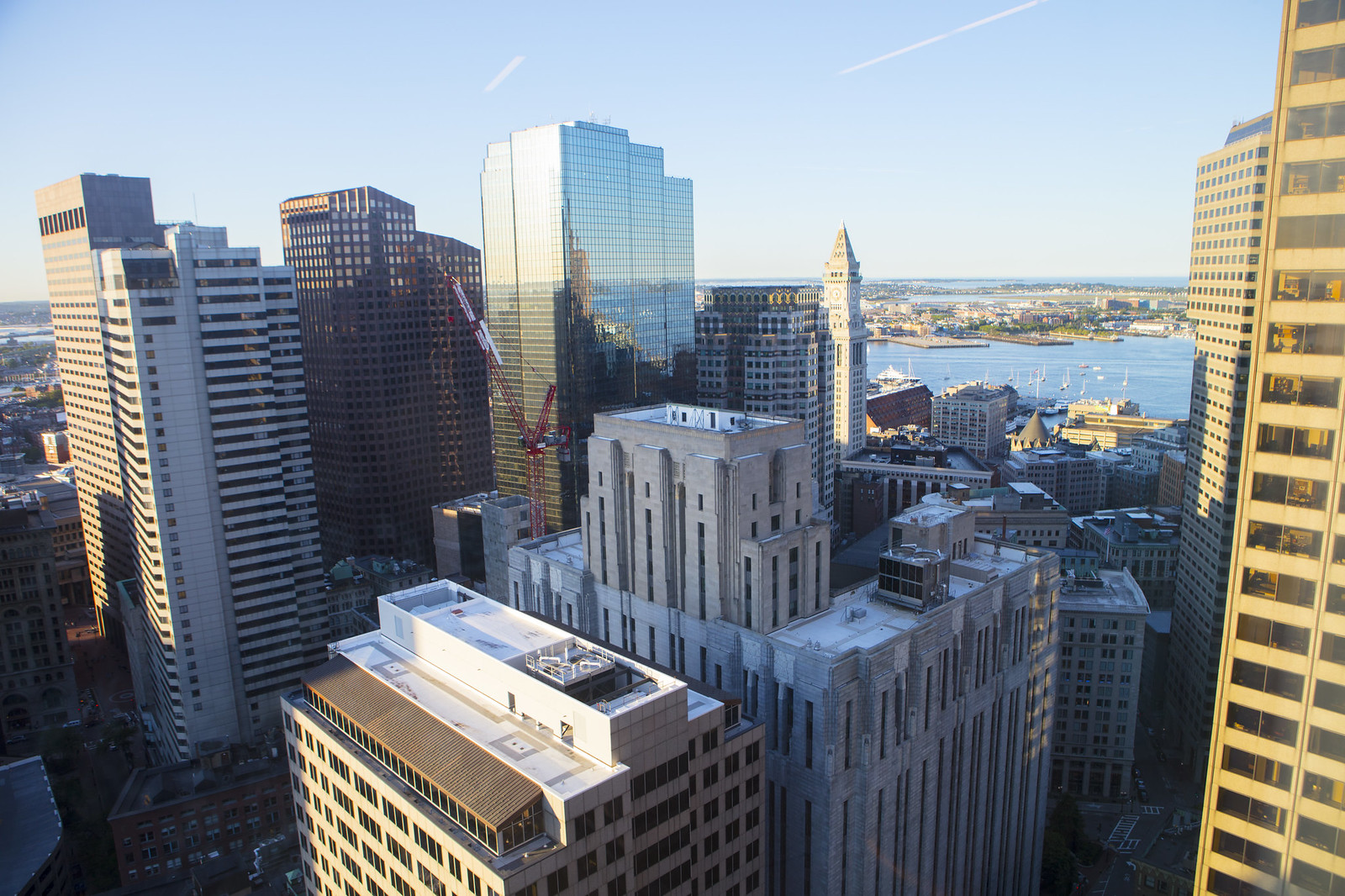
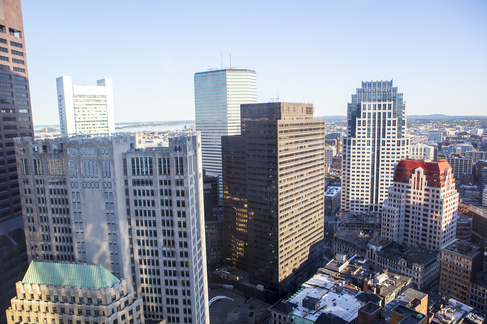
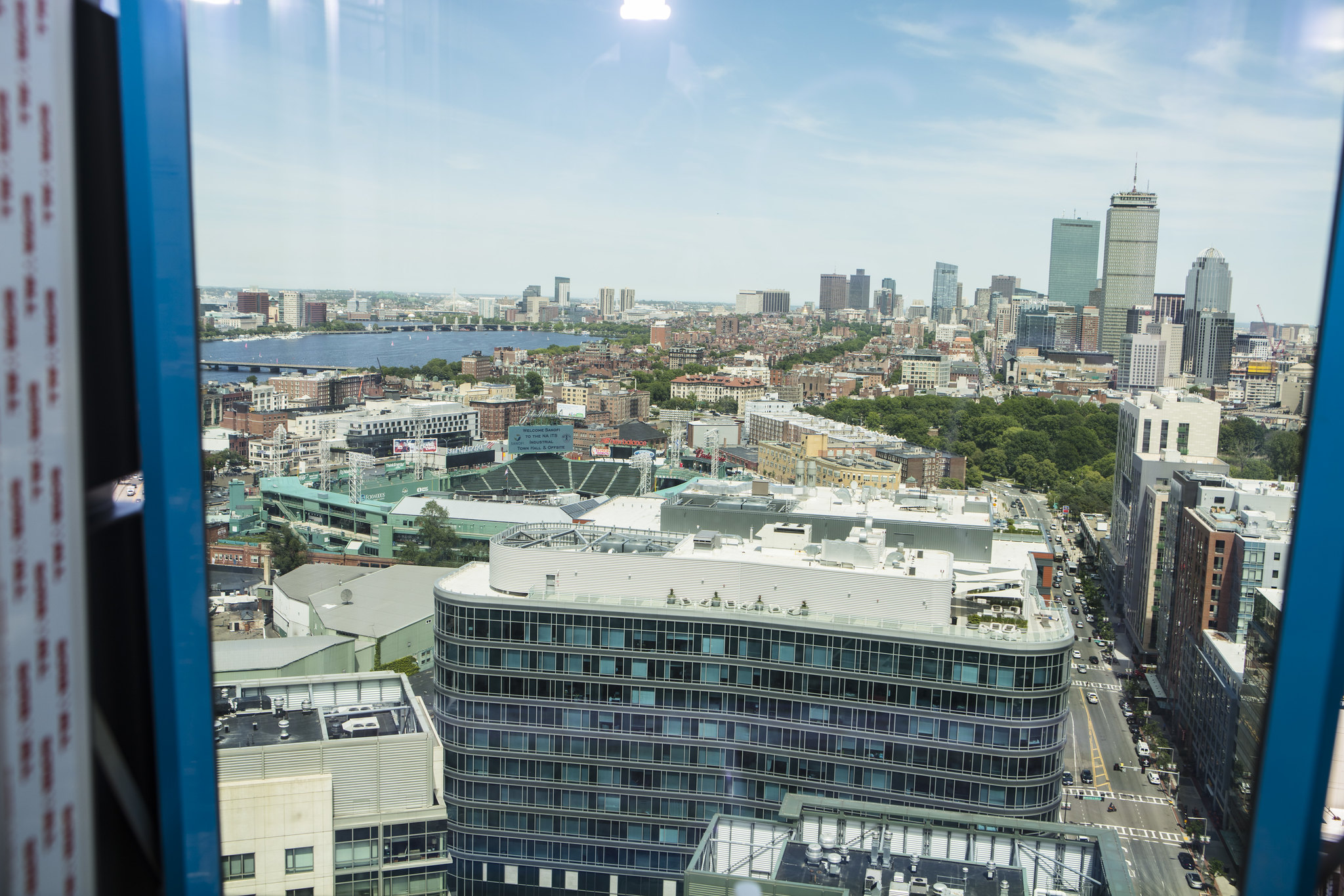
That video shows great how big and long Boston is getting. Downtown now sort of stretches in a curve from the Fenway to Downtown to The West End to Kendall.
 
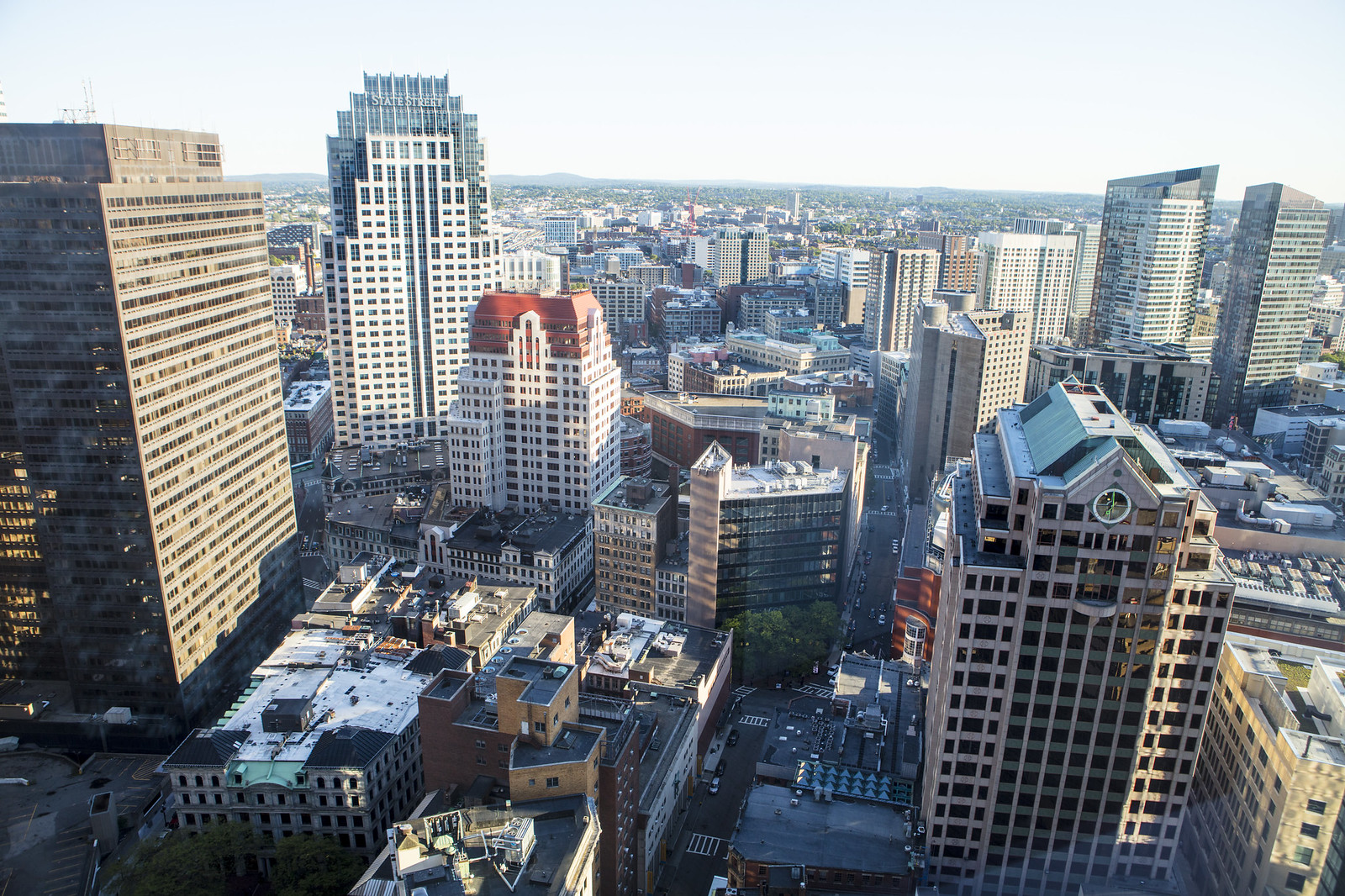
that building with the white and green clock (third pic) that's very close to MT has to be the single ugliest building in boston. if i could get rid of any one structure, that'd be it (even before one federal)
 
All the 80's cocaine apparently affected the architecture produced in that decade.
 

Back
Top