Longfellow Bridge update

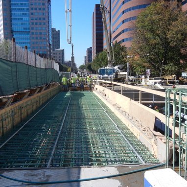
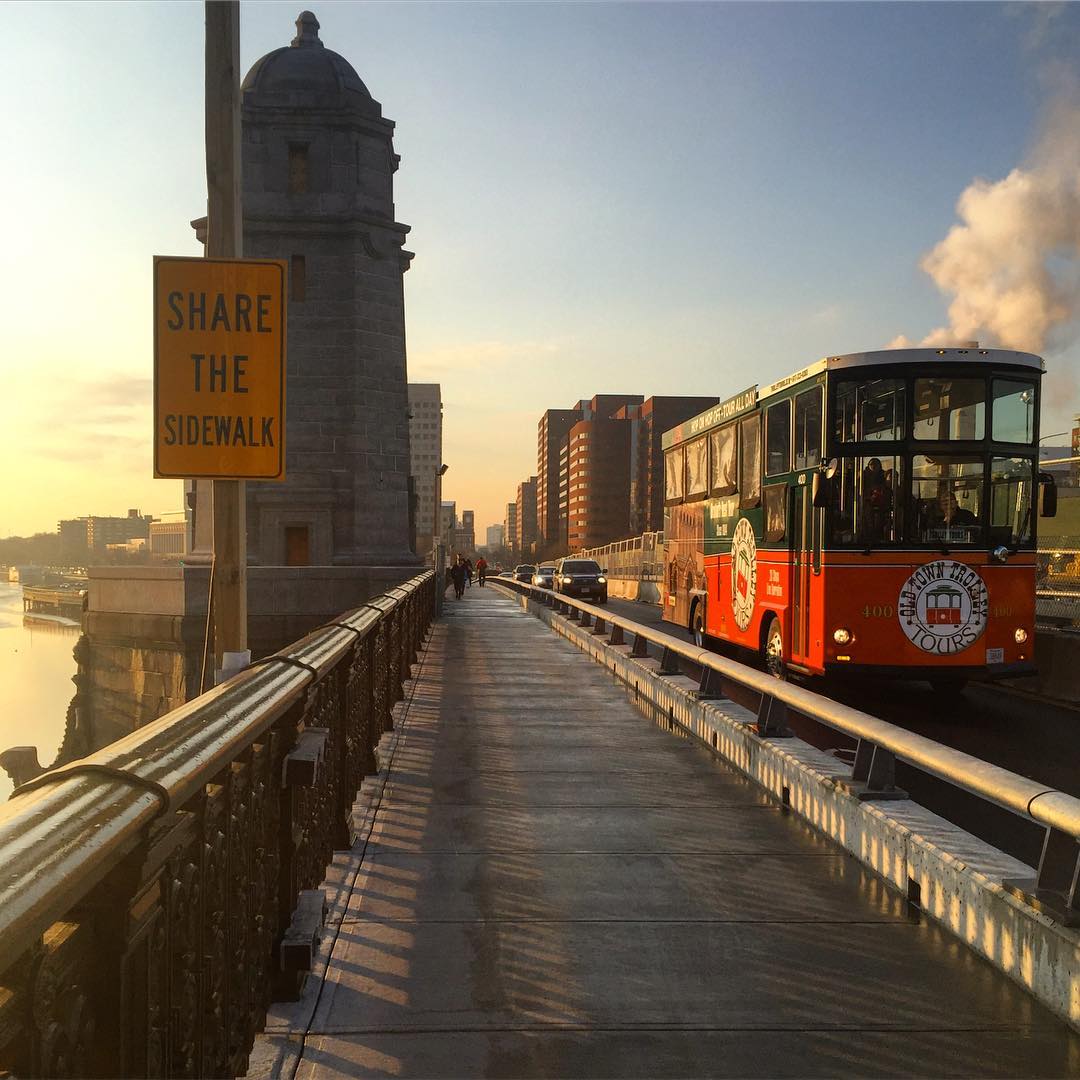
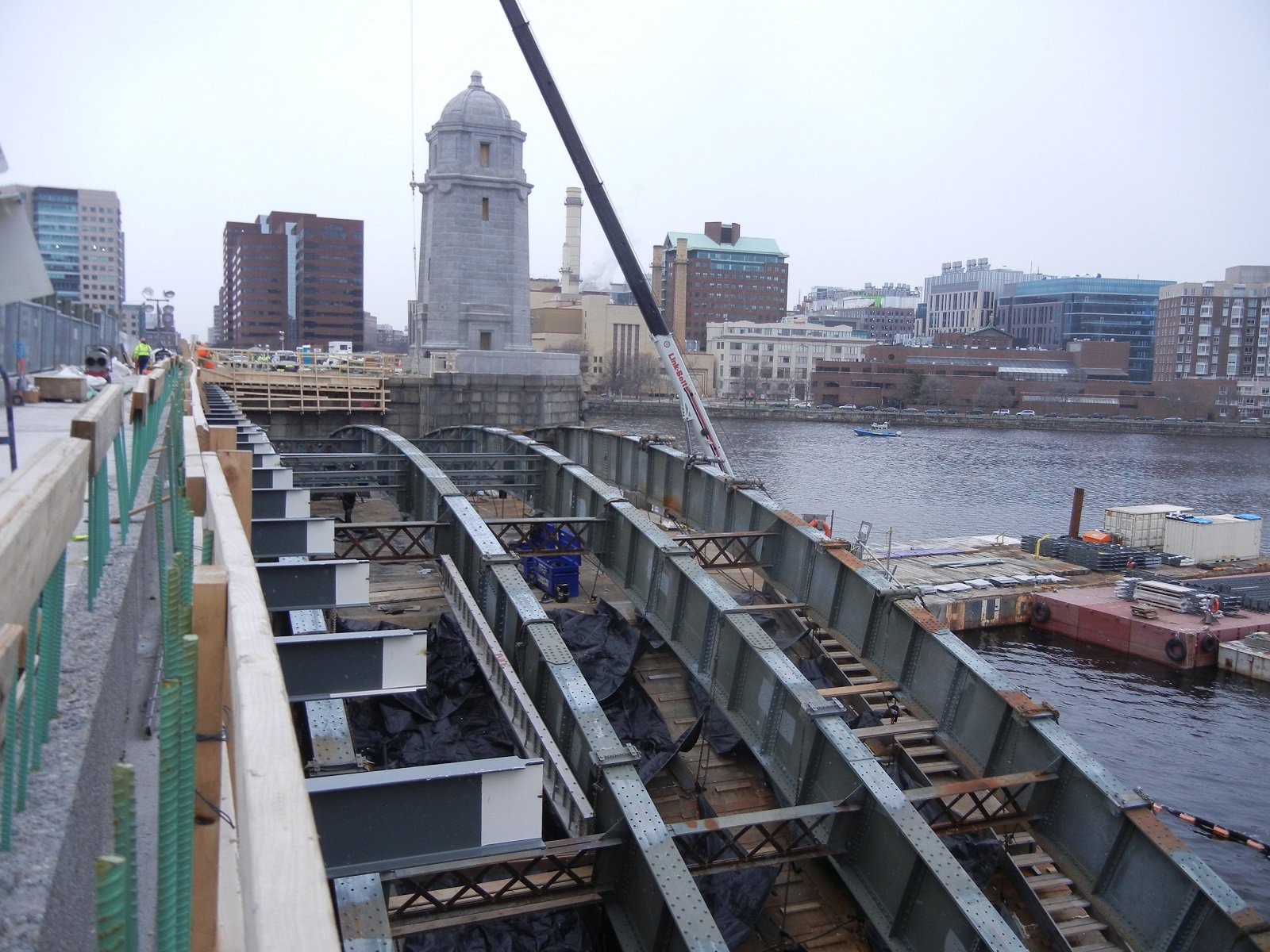
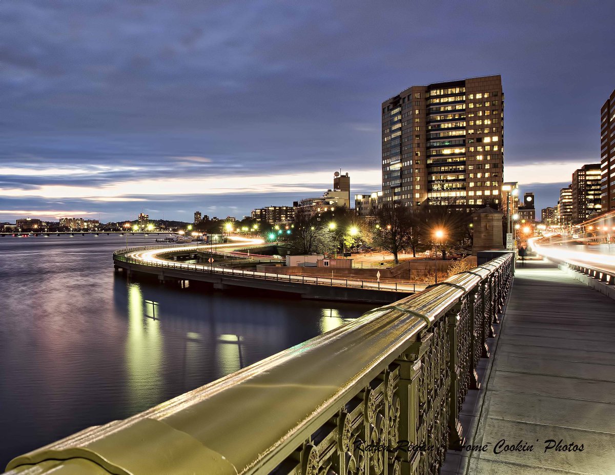
FWIW, a modern bridge wouldn't have arches. That's part of the riverscape - it's not like London, where you can build any cool thing because Tower Bridge established an unattainable level of tacky (and awesome). With the exception of Mass. Ave, the low Charles Basin bridges share an aesthetic, and we'd never build that now.

Also, the entire Charles River Basin, Charles River Dam to Watertown, is in the National Registry of Historic Places. Charles River Basin Historic District National Registry #78000436. All of the bridges are covered in that designation.

MassDOT has committed to work within the guidelines of the Secretary of the Interior's Standards for the Treatment of Historic Properties, Section 106, for all bridge rehabilitation projects in the basin.

JeffDowntown -- Ah yes -- BUT as usual the "Devil is in the Details"

Which version of the Basin:
  • the original one with the Olmstead Park along the shore where the parking for the Mass Eye and Ear is currently located?
  • redone after the original Charles River Dam and locks
  • redone after some of the basin was filled to create the Esplanade near where the Hatch Shell would eventually be built
  • redone by Arthur Shurcliff after the creation of Hatch Shell
  • redone again after Storrow Drive by filling more of the River to replace park lost to the roads
  • redone after the MOS planted itself
  • and now semi-finally completion of the lower basin [so called last 1/2 mile after the new Charles River Dam and locks replace the old Dam [site of the MOS]

there might be a couple of minor redos including the waste water and CSO projects that I omitted from this list

So essentially what you have with the Basin is pretty much what you find everywhere in Greater Boston hundreds of years of evolution -- with some arbitrary "freeze in time" -- as the ultimate resting point of "Historic Preservation"

That approach might be almost appropriate for the USS Constitution -- recreate what it looked like for the battle with HMS Guerriere in 1812 -- but even the Constitution evolved from the Joshua Humphreys design as built at Edmund Hartt's shipyard in the North End of Boston and launched in 1797, Massachusetts. By the time she fought the British she's been repaired and restored after dealing with the French and then the Barbary Pirates. The version of 1812 that fought the British was in many ways a more modern ship 18 years having passed since here design. Then of course there were hundreds of changes made over the ensuing two centuries -- all now unmade as much as possible to restore her to the 1812 era [with the necessary modern additions of the 21st century].

Sorry about the digress -- But one still needs to ask -- to which era is the Basin and its complement of Bridges, canals, locks, various art works and in sundry other constructions, to be restored?
 
It's almost like that question was already answered in the quoted post such that you could look it up yourself online!

Charles River Basin Historic District National Registry #78000436
 
It's almost like that question was already answered in the quoted post such that you could look it up yourself online!

F-Line -- that's a bureaucrat's answer -- You don't seem to get it -- as Bill Clinton himself said, "The Era of Big Government is OVER"

It's just a typical Lagging System response of the bureaucracy -- that the BIG Government hasn't yet come to grips with the reality
 
I'm not sure how what you just said even relates to the post by F-Line that you are responding to.

Also historic preservation in general wasn't started by the government as you seem to imply the movement started or at least gained major traction after and as a result of the destruction of Penn Station and the original purpose was to save the most important/significant structures of the past, for example the original Penn Station. Yes it has evolved from there and some citizens mostly NIMBYs use it to try and stop change, but that is not really it's main purpose.
 
F-Line -- that's a bureaucrat's answer -- You don't seem to get it -- as Bill Clinton himself said, "The Era of Big Government is OVER"

It's just a typical Lagging System response of the bureaucracy -- that the BIG Government hasn't yet come to grips with the reality

I'm having difficulty determining if this was written by you or Rifleman. Total garbage.
 
Of course MassDOT posts the lowest res photos ever...

Mass. Transportation ‏@MassDOT 3m ago

#LongfellowBridge progress! Crews pour concrete deck to carry future #MBTA #RedLine outbound track to #Cambridge.

CulufEFXYAAMlsO.jpg:large
 
Looks like they've shortened the height of the salt & pepper shakers!! :eek:
 
Last edited:
That, the new Silver Line to Chelsea & the start of the production of the new Orange & Red Line cars in Springfield. All in April.

Red to start before or by the end of the year. :cool:
 
Looks like they've shortened the height of the salt & pepper shakers!! :eek:

They have not. Only the mid-span ones are tall. You're seeing the shorter ones near the ends.
 
Pedestrians and Cambridge-bound bicyclists are now on the downstream sidewalk. Which is nice, since it's wider than the upstream sidewalk, and it's on the correct side for Cambridge-bound traffic again (relative to the streets entering/exiting the bridge).
 
Channel 25 interviewed a man who said he was relieved to be able to now walk in both directions across the bridge. That the closure meant he could walk to Boston, but had to find another way to get back to Cambridge........

Also they showed footage of the incline up from the Cambridge side while saying "some cyclists are happy and some are left wanting more". Meanwhile there was a Ford Explorer (either police or news crew) parked half on the sidewalk/half in the bike lane right at the start of the bridge, blocking the lane. They cut this piece of the video the next time they aired the story.
 

Back
Top