MBTA Buses & Infrastructure

Hopefully this new layout will make it so people cant double and triple park on BHA anymore, its by far the worst road for this in the entire city. The right lane isnt even usable much of the way due to so many people parked in it, drives me crazy. BHA is the perfect road for center running bus lanes so glad to see this.
 
Local politics is so deeply, frustratingly, small “c” conservative. We dreamed big and fucked up big with post-war planning and development. Now each individual change to the built environment has a hefty burden of proof that it won’t make things worse, even when the benefits seem obvious.
That post-war "dream big" also came with "tell the townies to put up or else". Which is why that post-war stuff didn't end up working out in the long term.
 
Probably airing an unpopular opinion here given the vibe, but I can understand why it's taken so long for the city to do the right thing and give this project the official green light. The 28X proposal was like the Hindenberg (highly recommend SB Mass's piece on that for context). The political backlash was real with all the state and local electeds coming down on Governor Patrick and MassDOT. It's only natural that A) any public agency would need several years for things to cool off beyond trying again, and B) there would need to be strong political support before proceeding. To get that second part, any agency would need to do an act of contrition by the public process (which the city seems to have done). I'm sure there's been plenty of political wrangling behind the scenes, too. By all measures, Wu's achieved that now. You read the press release City Hall put out the other day, and it's all the king's horses and all the king's men getting behind this project now. It's no small thing to get a second chance for a big project like this.

I'm not saying that this shouldn't have happened 15 years ago (because it should have and would have been life-changing for thousands of people in a real way), but that's these are the shitty limitations of the system we have here.
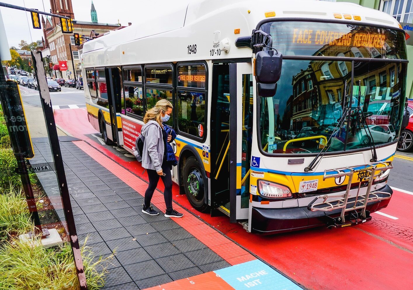
A couple other things I think might be important related to this, that have changed:

- the climate toward BRT and bus lanes has shifted, at least somewhat.
- the original proposals for the Silver Line were put forth in a bullshit way, by 1) offering the SL as if it was “just as good” as more major, promised transit reforms (especially the axing of the Chinatown tunnel) and a generally cheesy branding (the old crappy Art Deco “Silverline” logos on the front of the buses that wasn’t even properly centered and had felt like it was the result of some corny liberal arts kid designing something out of transit-phile nostalgia for streetcar design in the 20s). It just had the feeling of the state totally bullshitting the people. It just had the feeling of the state pulling a massive switcheroo and acting like they weren’t. And it still is very bogus that Silver is listed as a legit line. However, now that we have a couple more bus lane lines, I think the attitude might be shifting where people realize that bus lanes can offer a significant improvement even as they might not be the same as a rapid transit line. Messaging is really important, if you tell people “you’re going to get a bus and like it because all the experts in the state are telling you it’s just as good as a subway”, versus “we’re going to do something innovative with your local transportation that is definitely going to improve times”, it’s a major distinction.
 
For those who haven't noticed, I've started my personal website and blog on transit:
https://teban54transit.com

Today, I decided to add a page named "Official Projects: Transit Priority and Bus Lanes". It is intended to be a collection of bus lanes and other transit priority projects that are underway, either in planning or construction.

I have added the following projects to the outline, even though I have not populated most of them with details yet. I intend to provide links to official project pages (MBTA or the cities), designs, etc.
  • Summer St (Seaport)
  • North Station to Seaport Multimodal Corridor
  • River St (Cambridge)
  • Rutherford Ave
  • Columbus Ave Phase 2
  • Blue Hill Ave
I'm sure I must have missed some upcoming projects, so please feel free to add more to the list! In the future, I may also include a list of existing bus lanes on the page.
Nice, congrats. I like the green reconfig map a lot. I’d say a key idea that isnt mentioned as key ideas on that is the line to Harvard sq which would significantly alleviate downtown pressures; also, that the D-E connector + GL to Harvard Sq means there are light rail partial crosstown routes. Those seem “key” to me, since a lot of our collective GL visions are mere extensions, whereas the Harvard ext actually is more than that if you can go from Harvard to Kenmore and then transfer to get to Hyde Sq.

Glad you’re doing a site, will be cool to see where it goes.
 
Last edited:
Anyone know any details or can point me to plans for Seaver St extension of the Columbus Ave busway? I thought it was in the works but cant find anything concrete or in detail on the MBTA site or elsewhere. Is this just a vague future plan or is it in development?
 
Anyone know any details or can point me to plans for Seaver St extension of the Columbus Ave busway? I thought it was in the works but cant find anything concrete or in detail on the MBTA site or elsewhere. Is this just a vague future plan or is it in development?

The only extension that’s in development is in the other direction: to Ruggles.

There has been no concrete commitment to a Seaver St extension.
 
IMG_4750.jpeg


Love the busway extension to Second St.

Really like the dedicated busway on Lower Broadway and Alford St.
 
Yeah I’ve only just skimmed the Exec Summary, but I like what I see. That’s a lot of dedicated space for transit, and it sets up use for other circumferential services in the future.
It’s a shame they punted on the SL6 and alternatives beyond Sullivan. This seems like the bare minimum of the alternatives they were considering.
 
This would be an extension of the SL3, right? Not a new service that short-turns at Eastern Ave?
 
This would be an extension of the SL3, right? Not a new service that short-turns at Eastern Ave?
Yes, it's an extension. The completed project will result in an SL3 that runs from South Station to Sullivan Square via Seaport, East Boston, Chelsea, and Everett.

Love the busway extension to Second St.

Really like the dedicated busway on Lower Broadway and Alford St.
💯

But it's not clear to me what is meant by dedicated busway. It's a bit vague, but hopefully is at least a stronger segregation from traffic than what the side running lanes on Broadway provide.
 
It’s a shame they punted on the SL6 and alternatives beyond Sullivan. This seems like the bare minimum of the alternatives they were considering.
It sounds like their last public outreach of SL3x and SL6 seemed to indicate they are two separate projects, not either-or. This was evident in their assumption that for all SL6 alternatives (particularly those that do not go to Chelsea), Chelsea residents can still get to Kendall by transferring from SL3x to SL6. So I wouldn't take this as a sign that SL6 has been gutted.
 
Yes, it's an extension. The completed project will result in an SL3 that runs from South Station to Sullivan Square via Seaport, East Boston, Chelsea, and Everett.


💯

But it's not clear to me what is meant by dedicated busway. It's a bit vague, but hopefully is at least a stronger segregation from traffic than what the side running lanes on Broadway provide.
They talk about moving the bike lanes onto private property for a stretch of 99 to make room for a bus lane. I'm skeptical about the real caliber of busway that this whole segment will be able to provide. 99 is not that wide, and there is a ton of future development here, and the plan has the buses in mixed traffic through the rotary. Painted bus lanes that weave in and out of traffic at the rotary and the bridge does not seem like a recipe for success, if the same choke points remain unaddressed. But I guess we'll see.

Also, doesn't the drawbridge operate? I feel like I once was stuck waiting for it to lower while on a bike ride, but maybe hallucinated that memory.
 
Some more details in the StreetBlogMASS article:

The T would also build new dedicated busways on lower Broadway in Everett and on the Alford Street Bridge across the Mystic River into Boston (see map above).

Other segments of the route would run on more traditional curbside bus lanes, which already exist on Broadway in Everett. Two shorter segments would run in mixed traffic on narrow streets around Everett Square, with "transit priority" traffic signals that would be programmed to turn green when buses approach.
Hopefully we'll get real, effective transit signal priority this time! (Does that even exist anywhere else on the MBTA?)

As for existing curbside bus lanes at Everett Square, the bus lanes are currently only for rush hours in the peak direction. The detailed SLXAA report explicitly mentions they will be converted to full-time bus lanes, eliminating street parking:
In its current configuration,
Broadway has peak-hour bus lanes and
parking on both sides of the street . The LPA
would convert these peak-hour bus lanes to
become all-day bus lanes, which would remove
on-street parking between Chelsea Street and
Sweetser Circle crossing Route 16.

Back to the StreetBlogMASS article:
The report also predicts that serving the
extended SL3 route with buses that arrive every 10 minutes would require buying 4 more Silver Line buses for the MBTA's fleet.
The BNRD has 11-min headways for Frequent Bus Routes (FBRs) during middays, and 8-min during rush hours; it also lists SL3 with the same headways as any other FBR. However, the SLXAA report assumes SL3 has 10-min frequencies during peak. So it may also just be an approximation, or that the SLXAA team and the BNRD team were working independently.

According to a spokesperson, the MBTA has submitted a federal RAISE grant application to fund a $28 million street reconstruction that would create a dedicated transitway on lower Broadway in Everett.
 
They talk about moving the bike lanes onto private property for a stretch of 99 to make room for a bus lane. I'm skeptical about the real caliber of busway that this whole segment will be able to provide. 99 is not that wide, and there is a ton of future development here, and the plan has the buses in mixed traffic through the rotary. Painted bus lanes that weave in and out of traffic at the rotary and the bridge does not seem like a recipe for success, if the same choke points remain unaddressed. But I guess we'll see.
It sounds like you're talking about two completely different issues: (1) the bolded part, towards the northern end of Lower Broadway (Sweetser Circle); and (2) the non-bolded part, towards the southern end of Lower Broadway (Alford St).

For (1), the only portion where buses run in mixed traffic on Lower Broadway is the section I highlighted in yellow, according to the SLXAA:
1709958042151.png


However, I think they're overestimating or overdrawing the segment of mixed running needed, for two reasons:
  • The northernmost parts of Lower Broadway, where it crosses the railroad ROW, already has dedicated bus lanes. (The northbound bus lane is shared with right-turning traffic.) So even without any new infrastructure, the drawing in the SLXAA isn't precise.
  • I imagine the redesigned Lower Broadway will have 2 bus lanes and 2 travel lanes, not 4 travel lanes, in both directions combined. This is because even south of Beacham St (where bidirectional bus lanes start), Lower Broadway at its narrowest (63.5') can't accommodate 6 lanes and 2 bike lanes without taking private properties. If 4 lanes total (+2 bike lanes) are what we're going for, then the section I drew above can also handle it.
As for (2) south of Dexter St, private property taking also doesn't sound like a big deal in this particular area:

1709959000367.png

The 67' at the northern end (just south of Dexter) is easily enough for all we need (52' minimum without additional barriers or wider bike lanes). As for the 60' to the south, honestly they feel enough to me; but even if not, taking out the greenspace between the road and the private parcels should allow you to widen the road to 67'.

One scenario in which all my deductions are wrong would be if they're planning for 4 travel lanes (2 in each direction) in addition to 2 bus lanes. However, I find that hard to believe. That requires 72' minimum, and definitely requires taking away private parking lots at the 63.5' bottleneck mentioned above.


Also, doesn't the drawbridge operate? I feel like I once was stuck waiting for it to lower while on a bike ride, but maybe hallucinated that memory.
From the SLXAA:
Alford Street Bridge Openings: The Alford Street Drawbridge provides an uninterrupted connection between Everett and Charlestown during most of the day. It is closed for the passage of vessel traffic during the morning peak hours and between 5 p.m. and 6 p.m. daily and would minimally impact Silver Line operations across the corridor.
 
Lots of really interesting data and findings in the full Alternatives Analysis. Unsurprisingly, it looks like the ability to construct 80% of the route with dedicated transit space was a key differentiator. They also point out that, for example, the SL3 alternative to Malden Center would be partially addressed by the T104 and the T109, the latter of which itself will benefit from the new infrastructure on Broadway and the bridge (and I think the T104 will also get some benefit from the new bus lanes between Everett Square and the transitway).

There's also interesting analysis about employment destinations, including indications of significant orientation toward Revere, Eastie, and Malden (and less of a demand to Kendall, which they attribute here to a lack of access):

Screen Shot 2024-03-09 at 8.52.10 AM.png


Following their alternatives analysis on the SL6 options, they note:

Screen Shot 2024-03-09 at 8.55.06 AM.png

To me, that suggests that both the public interest in a OSR to Kendall, and the current low demand for such, is reflective of Kendall being extremely underserved and in need of equalization (is that a word?) -- I don't think it demonstrates that Kendall is inherently of greater interest than downtown as a destination. That said, it's interesting that the transfer to Orange was modeled to be preferable to the potential OSR; I'd love to get more detail on that.

And there are lots of cool maps in here. I thought this one, comparing peak vs off-peak orientations, was particularly interesting:

Screen Shot 2024-03-09 at 8.59.26 AM.png
 

Back
Top