One would assume they have this very well figured out for the old colony CR lines, which all converge on a single track trough Quincy and Dorchester. Mixed traffic streets are of course less predictable/reliable, but they could certainly do better.How difficult would it be to coordinate them? Seems like that should be pretty easy. Feed all the ideal schedules into an equation and produce a schedule that promises a FH-Ros frequency of x?
You are using an out of date browser. It may not display this or other websites correctly.
You should upgrade or use an alternative browser.
You should upgrade or use an alternative browser.
MBTA Buses & Infrastructure
- Thread starter Arlington
- Start date
Teban54
Senior Member
- Joined
- Nov 13, 2021
- Messages
- 1,142
- Reaction score
- 2,856
Coordinating the 35 and 36 is already planned in the BNRD, as @alewife noted.How difficult would it be to coordinate them? Seems like that should be pretty easy. Feed all the ideal schedules into an equation and produce a schedule that promises a FH-Ros frequency of x?
A possible concern I can see with coordinating the remaining routes (30, 34/E, 40, 50, 51, 37 that gets axed in BNRD) is that most of them have poor frequencies, so residents (especially transit-dependent ones) may have gotten accustomed to the current schedule and plan their activities around it. If the schedule changes are more than just a few minutes, it may be too disruptive to them and thus face backlash from locals. However, I think packaging it into a broader set of service changes like BNRD seems fair, as practically every route systemwide would face some changes anyway.
I’m not a mathematician, but I think it’s probably pretty easy to build an equation that gives differing weights to preserving existing schedules vs coordinating multiple ones. With the number of bus lines, that should not be difficult to make certain slight adjustments to produce a slightly improved regularity in the corridor.Coordinating the 35 and 36 is already planned in the BNRD, as @alewife noted.
A possible concern I can see with coordinating the remaining routes (30, 34/E, 40, 50, 51, 37 that gets axed in BNRD) is that most of them have poor frequencies, so residents (especially transit-dependent ones) may have gotten accustomed to the current schedule and plan their activities around it. If the schedule changes are more than just a few minutes, it may be too disruptive to them and thus face backlash from locals. However, I think packaging it into a broader set of service changes like BNRD seems fair, as practically every route systemwide would face some changes anyway.
Koopzilla24
Active Member
- Joined
- Dec 20, 2022
- Messages
- 459
- Reaction score
- 1,363
The main difficulty of coordinating routes on Washington Street is the unreliable traffic delay. During peak, from my experience, there's regularly up to 10min of deviation from schedule. It's worst on the 34, 34E, and 40 because of how much traffic from both Washington St in Dedham and Enneking PKWY are funneled right into a single lane before Metropolitan Ave. Then traffic through Ros Village at Poplar again hits a big delay spot that effects every route to Forest Hills though the 30 has it the least bad. There's not much to be done about Washington from Poplar to Enneking without removing street parking and extending bus lanes. In Ros Village all I can think of is going all-in on the loop. Make Poplar along Adams Park a busway only, have all other traffic go around to Corinth. Eliminate the weird light for the CR parking lot and make the one at the library be always flashing yellow unless a busway detection loop activates the red to release buses. Reverse the direction of Poplar between Washington and Florence and make the rest 2-way so there's no more straight across traffic conflict. Cummins Highway being a T intersection there is kind of annoying but maybe the light cycle could be coordinated with the bus releasing light so that it activates the green for Cummins as traffic is stopped from the library intersection. Otherwise it could be a flashing Yellow. None of this would be as good as the current dedicated pedestrian cycles at these intersection for pedestrian safety though. It's all quite a mess that an Orange Line extension would do a lot to solve.How difficult would it be to coordinate them? Seems like that should be pretty easy. Feed all the ideal schedules into an equation and produce a schedule that promises a FH-Ros frequency of x?
Removing parking between Beech and Poplar would go a long way.The main difficulty of coordinating routes on Washington Street is the unreliable traffic delay. During peak, from my experience, there's regularly up to 10min of deviation from schedule. It's worst on the 34, 34E, and 40 because of how much traffic from both Washington St in Dedham and Enneking PKWY are funneled right into a single lane before Metropolitan Ave. Then traffic through Ros Village at Poplar again hits a big delay spot that effects every route to Forest Hills though the 30 has it the least bad. There's not much to be done about Washington from Poplar to Enneking without removing street parking and extending bus lanes. In Ros Village all I can think of is going all-in on the loop. Make Poplar along Adams Park a busway only, have all other traffic go around to Corinth. Eliminate the weird light for the CR parking lot and make the one at the library be always flashing yellow unless a busway detection loop activates the red to release buses. Reverse the direction of Poplar between Washington and Florence and make the rest 2-way so there's no more straight across traffic conflict. Cummins Highway being a T intersection there is kind of annoying but maybe the light cycle could be coordinated with the bus releasing light so that it activates the green for Cummins as traffic is stopped from the library intersection. Otherwise it could be a flashing Yellow. None of this would be as good as the current dedicated pedestrian cycles at these intersection for pedestrian safety though. It's all quite a mess that an Orange Line extension would do a lot to solve.
View attachment 47573
ball_square
Active Member
- Joined
- Nov 14, 2023
- Messages
- 281
- Reaction score
- 837
So I read the BNRD and executive summary, and I skimmed the BNRD final report, and for the life of me I can't figure out: what exactly does the "T" prefix on some the new bus routes mean? I get the sense that it means they're imprtant and frequent, but it doesn't seem to exactly map to that criteria...?
(Insert Andy meme: I don't know what's going on and I'm too afraid to ask at this point)
(Insert Andy meme: I don't know what's going on and I'm too afraid to ask at this point)
TheRatmeister
Senior Member
- Joined
- Sep 23, 2023
- Messages
- 1,566
- Reaction score
- 3,173
From what I understand it's meant to replace/simplify the "Key bus routes" designation to specify which routes have 15 minutes or better headways at all times.So I read the BNRD and executive summary, and I skimmed the BNRD final report, and for the life of me I can't figure out: what exactly does the "T" prefix on some the new bus routes mean? I get the sense that it means they're imprtant and frequent, but it doesn't seem to exactly map to that criteria...?
(Insert Andy meme: I don't know what's going on and I'm too afraid to ask at this point)
bostonbyfoot
New member
- Joined
- Feb 16, 2023
- Messages
- 21
- Reaction score
- 87
Brookline to Install Bus-Only Lanes On Route 9 Bottleneck This Year - Streetsblog Massachusetts
This story originally appeared on Brookline.News, an independent, nonprofit news organization dedicated to providing comprehensive local news coverage for Brookline.
 mass.streetsblog.org
The MBTA will paint one lane red in each direction between Station Street and the Boston border and label them for buses only.
The project was designed to help several MBTA bus lines, the 60, 65 and 66, speed up in what the transit agency says is a major bottleneck along their routes.
Teban54
Senior Member
- Joined
- Nov 13, 2021
- Messages
- 1,142
- Reaction score
- 2,856
This is correct. I'll add that the Key Bus Routes' frequencies are actually better than advertised: if we treat the Remix map's listed headways verbatim, all Key Bus Routes will have 11-min frequencies or better from 6am to 10pm. It's only during the early morning (5-6am) and late night (10pm-1am) that they become 15-min frequencies.From what I understand it's meant to replace/simplify the "Key bus routes" designation to specify which routes have 15 minutes or better headways at all times.
While many existing Key Bus Routes already achieve such service standards, this will be a game-changer for many corridors that received this designation for the first time (some of which offer brand new connections): T7, T8, T9, T12, T16, T31, T47, T70, T96, T101, T104, T109, T110.
(Three other corridors will receive 15-min service standards with two coordinated routes, running 12.5-min headways during daytime: 35/36, 220/222, 442/455.)
JeffDowntown
Senior Member
- Joined
- May 28, 2007
- Messages
- 5,048
- Reaction score
- 4,224
I really hope the 442/455 are not being pitched as "coordinated" high frequency routes. The actual routes only touch at Lynn Station and Wonderland. Otherwise the routes through Lynn are blocks apart and you either access one or the other but certainly don't flip between them (unless you are in the minute location half-way between them). If that is being called a "frequency corridor" it is a scam.This is correct. I'll add that the Key Bus Routes' frequencies are actually better than advertised: if we treat the Remix map's listed headways verbatim, all Key Bus Routes will have 11-min frequencies or better from 6am to 10pm. It's only during the early morning (5-6am) and late night (10pm-1am) that they become 15-min frequencies.
While many existing Key Bus Routes already achieve such service standards, this will be a game-changer for many corridors that received this designation for the first time (some of which offer brand new connections): T7, T8, T9, T12, T16, T31, T47, T70, T96, T101, T104, T109, T110.
(Three other corridors will receive 15-min service standards with two coordinated routes, running 12.5-min headways during daytime: 35/36, 220/222, 442/455.)
alewife
New member
- Joined
- Dec 19, 2023
- Messages
- 62
- Reaction score
- 226
The BNRD changes the 455’s route between Wonderland and Lynn to match the 442’s through Point of Pines. That’s the portion getting the “frequent service” designation.I really hope the 442/455 are not being pitched as "coordinated" high frequency routes. The actual routes only touch at Lynn Station and Wonderland. Otherwise the routes through Lynn are blocks apart and you either access one or the other but certainly don't flip between them (unless you are in the minute location half-way between them). If that is being called a "frequency corridor" it is a scam.
Really barely related, but the globe recently had a pictures of this section of Route 9, from 1915. This intersection at Harvard St used to have a streetcar stop and quite a lot going on. Almost every building in the pictures was demolished to make way for a widened, 7-or-8 lanes of asphalt. And it's still considered a bottleneck.Brookline to Install Bus-Only Lanes On Route 9 Bottleneck This Year - Streetsblog Massachusetts
This story originally appeared on Brookline.News, an independent, nonprofit news organization dedicated to providing comprehensive local news coverage for Brookline.
Teban54
Senior Member
- Joined
- Nov 13, 2021
- Messages
- 1,142
- Reaction score
- 2,856
That streetcar stop looks much nicer than most of the ones today, and all of the Silver Line Washington bus stops. It might also be just the feel of how it blends into the surroundings, including both the road infrastructure and the architecture.Really barely related, but the globe recently had a pictures of this section of Route 9, from 1915. This intersection at Harvard St used to have a streetcar stop and quite a lot going on. Almost every building in the pictures was demolished to make way for a widened, 7-or-8 lanes of asphalt. And it's still considered a bottleneck.
View attachment 47672
Beyond the literal meaning that others have explained, I think they literally chose T (instead of Frequent or Rapid or eXpress) because... it's the T. But yeah, it indicates "15 min or better all day every day".So I read the BNRD and executive summary, and I skimmed the BNRD final report, and for the life of me I can't figure out: what exactly does the "T" prefix on some the new bus routes mean? I get the sense that it means they're imprtant and frequent, but it doesn't seem to exactly map to that criteria...?
(Insert Andy meme: I don't know what's going on and I'm too afraid to ask at this point)
Careful with precision there. That area was not demolished for the highway, it was demolished for urban renewal projects on both sides of Rt 9.Really barely related, but the globe recently had a pictures of this section of Route 9, from 1915. This intersection at Harvard St used to have a streetcar stop and quite a lot going on. Almost every building in the pictures was demolished to make way for a widened, 7-or-8 lanes of asphalt. And it's still considered a bottleneck.
View attachment 47672
My babysitter as a kid grew up in a triple-decker on Juniper Street, and experienced firsthand the eminent domain that cleared out this entire area. She was bitter about decades later, and understandably. South of Washington was all homes, north was more former industrial stuff, other than the shops that lined the north side of Washington.
The widening of the road was a byproduct, certainly representative of the autocentric thinking of the time, but the reason these projects happened was not about transportation, it was about clearing out undesirables and increasing the tax coffers of municipalities (and of course, the jobs creations and lucrative contracts that went to developers). And of course, it’s more complex than that, and there were some good intentions as well.
Federal Housing Act of 1949 did more damage than any of the highway stuff.
- Joined
- May 25, 2006
- Messages
- 7,064
- Reaction score
- 1,989
Really barely related, but the globe recently had a pictures of this section of Route 9, from 1915. This intersection at Harvard St used to have a streetcar stop and quite a lot going on. Almost every building in the pictures was demolished to make way for a widened, 7-or-8 lanes of asphalt. And it's still considered a bottleneck.
View attachment 47672
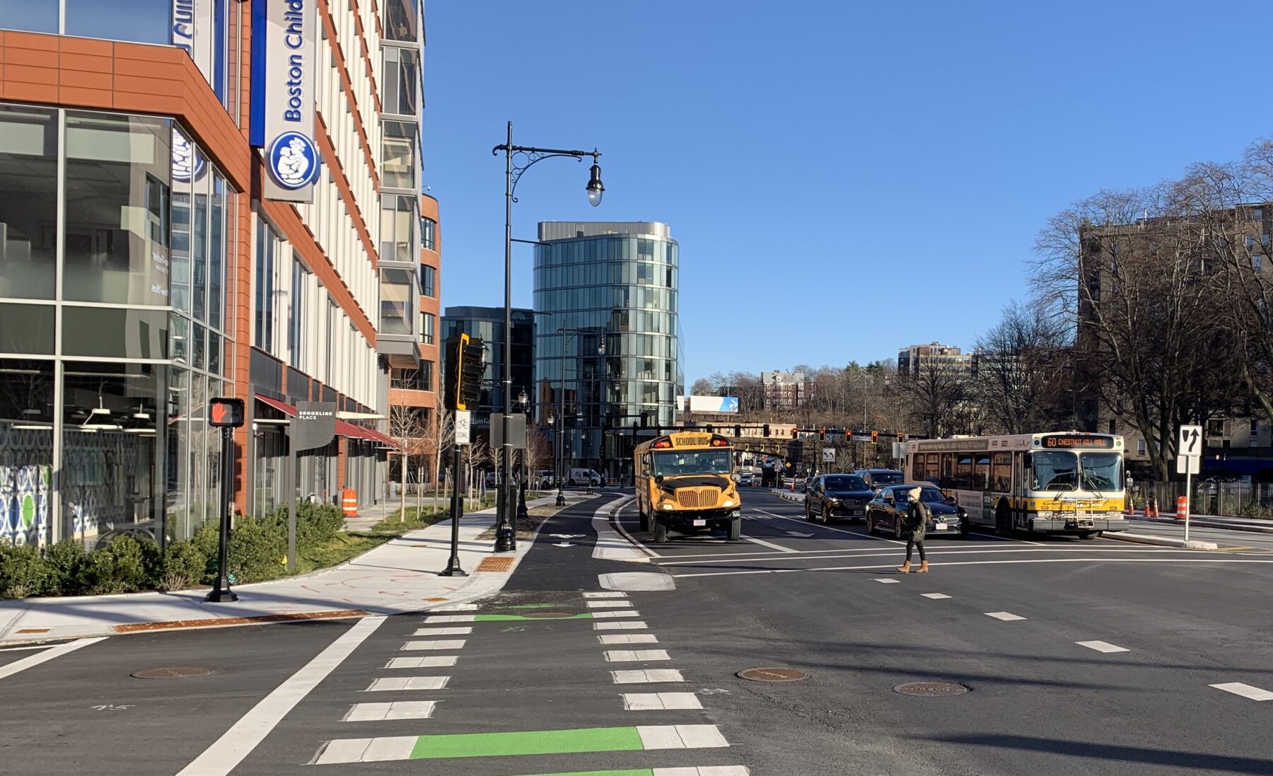
This view today
Charlie_mta
Senior Member
- Joined
- Jul 15, 2006
- Messages
- 5,150
- Reaction score
- 7,777
I think I prefer the 1915 view, LOL.This view today
lainpimicaja
Active Member
- Joined
- Jun 28, 2021
- Messages
- 175
- Reaction score
- 675
Maybe we're slowly starting to get back to 1915 with projects like Columbus Ave?


Charlie_mta
Senior Member
- Joined
- Jul 15, 2006
- Messages
- 5,150
- Reaction score
- 7,777
Mass Ave should look like that (plus bike lanes) all the way from the South End of Boston through Central Square in Cambridge.Maybe we're slowly starting to get back to 1915 with projects like Columbus Ave?
LexSEDotVille
Active Member
- Joined
- Apr 23, 2022
- Messages
- 158
- Reaction score
- 832
Wow what a loss! RIP streetcars. Had to go look for a map of this location to orient myself - 1913 Bromley:
