Those are the connections between different systems in Hong Kong. But the four core MTR lines meet in cross-platform transfers, with multiple shared stations for most pairs of lines to allow reverse-direction cross-platform transfers. The East and West Rail Lines have a cross-platform transfer at Hung Hom, too.
Another example of this discrepancy is Chatelet-Les Halles, Paris's central Metro and RER station. The Metro lines are all far away from one another and have horrendous transfers, to one another and to the RER. But the transfers from the RER A to the RER B are cross-platorm, and the wrong-direction transfers and the transfers with the RER D only involve a bit of walking between platforms. That 7-minute walk from the RER A to Metro Line 7 was not the most pleasant, and I know other people who went to that conference with me who stayed at the same hostel who biked to the university or rode a bus and walked a lot, to avoid that transfer.
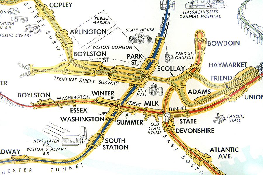
Great point Alon. You're totally right. The long walks in Hong Kong are between subway and commuter rail. The cross-platform transfers on the subway system are indeed super convenient. I wish the T had been designed so expertly as to allow for them.