statler
Senior Member
- Joined
- May 25, 2006
- Messages
- 7,944
- Reaction score
- 562
This Omni is a biz hotel, it is not there to win design awards.
By this logic the only interesting architecture we would see built would be architecture firms offices.
This Omni is a biz hotel, it is not there to win design awards.
It's a bland building that will activate 2 streetwalls, include no onsite parking (the awful garage can be redeveloped in 20 years), and increase the city's supply of hotel rooms by 5%. I'll take it.
I understand what you're saying, but when every middling design can be dismissed with some variant on "it's only an infill building", then it concedes that is the best Boston can hope for.
Compelling design doesn't demand attention-seeking starchitect buildings. It can be something as modest as this.
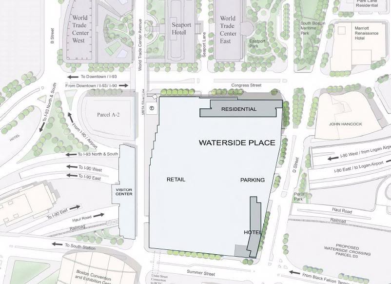
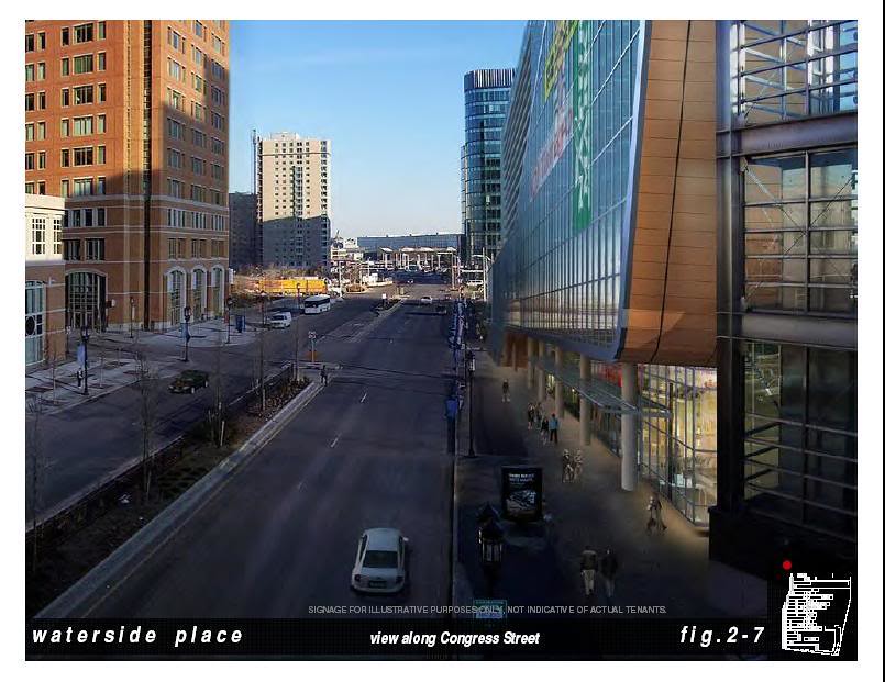
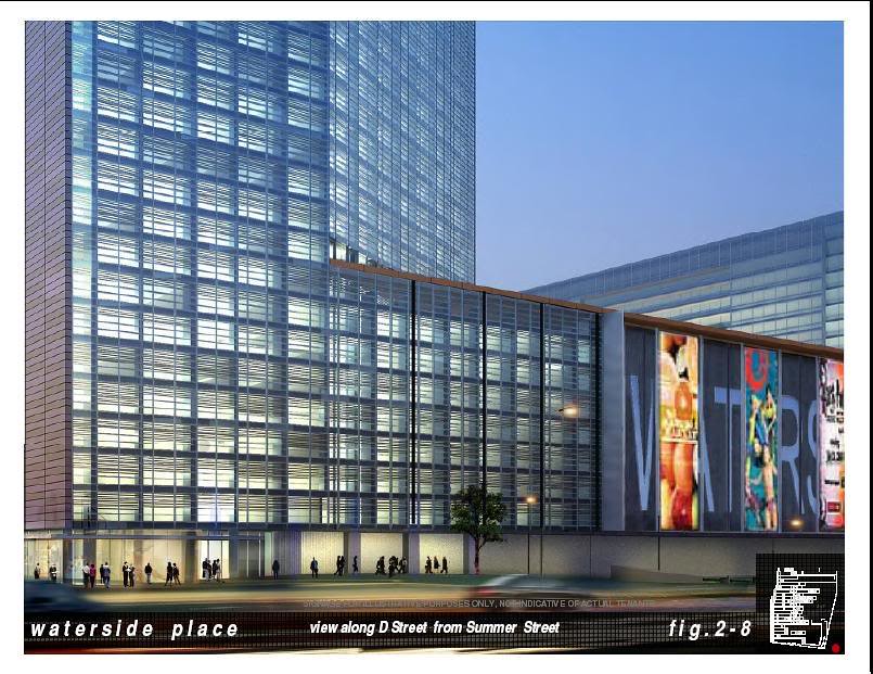
Stick, this may be what you are thinking of (Waterside Place).
You’d rather have the garage and the hail road?
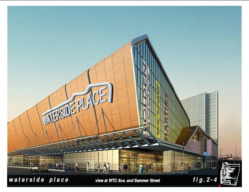
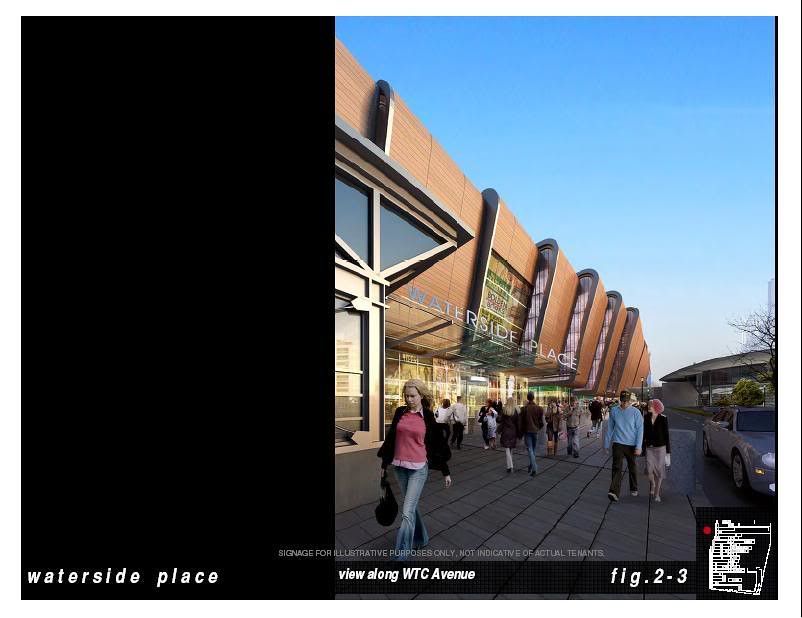
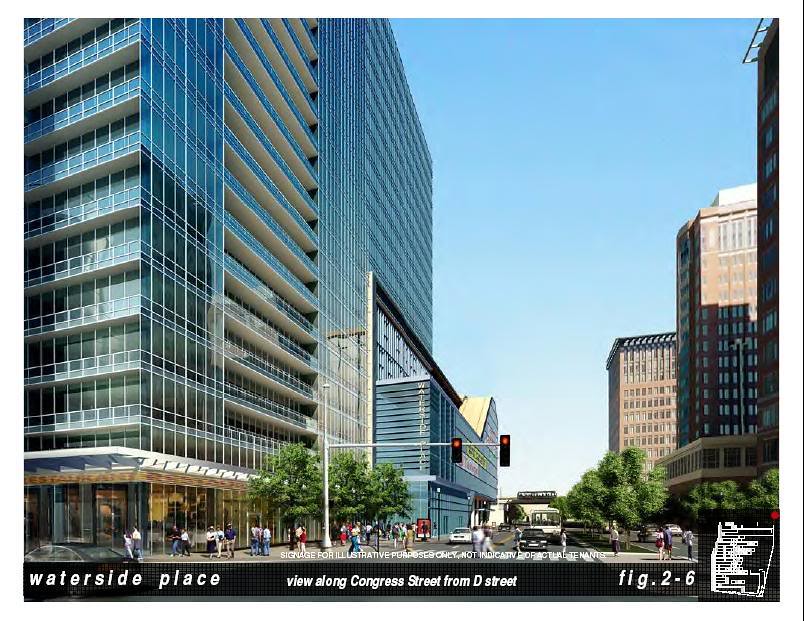
According to Curbed apparently this is the final design vs the other few iterations that had been floating around. I think its a pretty solid design, great street level, ties into surrounding neighborhood well and brings a substantial amount of rooms directly across the BCEC.

I found some wiiild renderings of what could have been here. Not gonna post em cuz its not getting built but heres the link for those interested.
https://www.tangram3ds.com/seaport-competition/


 https://flic.kr/p/25SkfiB
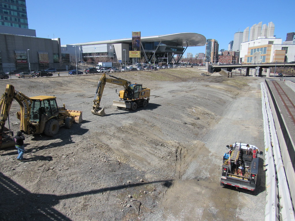 https://flic.kr/p/Gdb9fn
The long-discussed commuter rail shuttle station should be built from precisely where that truck is sitting on back to the curve at the overpass.
Instead:
Boston: "Let's build it on the far side of the convention center near the channel, within sight of South Station and offering pedestrian access to nothing, lmao"