You are using an out of date browser. It may not display this or other websites correctly.
You should upgrade or use an alternative browser.
You should upgrade or use an alternative browser.
Photo of the Day, Boston Style - Part Deux
- Thread starter castevens
- Start date
- Status
- Not open for further replies.
- Joined
- May 25, 2006
- Messages
- 7,034
- Reaction score
- 1,875
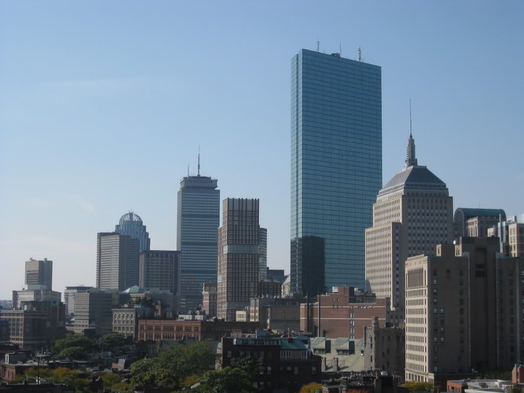
That is a very handsome skyline right there.
stick n move
Superstar
- Joined
- Oct 14, 2009
- Messages
- 12,160
- Reaction score
- 19,149
being from boston i like to see that boston gets appreciation from new yorkers because you sir have the most amazing skyline on earth
Boston02124
Senior Member
- Joined
- Sep 6, 2007
- Messages
- 6,893
- Reaction score
- 6,639
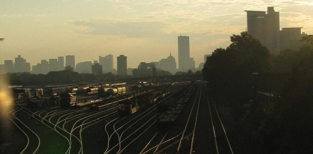
Thanks! yep thats Beacon yards more from that daySweet! I LOVE that blur. Can we get a nomination thread going for photo of the year?
Is that the Beacon Park yard that's slated to go?
Boston02124
Senior Member
- Joined
- Sep 6, 2007
- Messages
- 6,893
- Reaction score
- 6,639
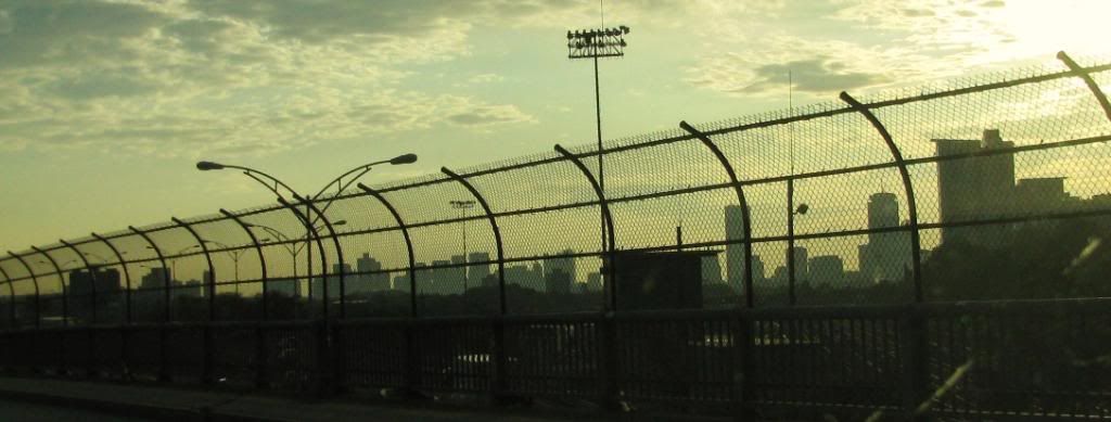
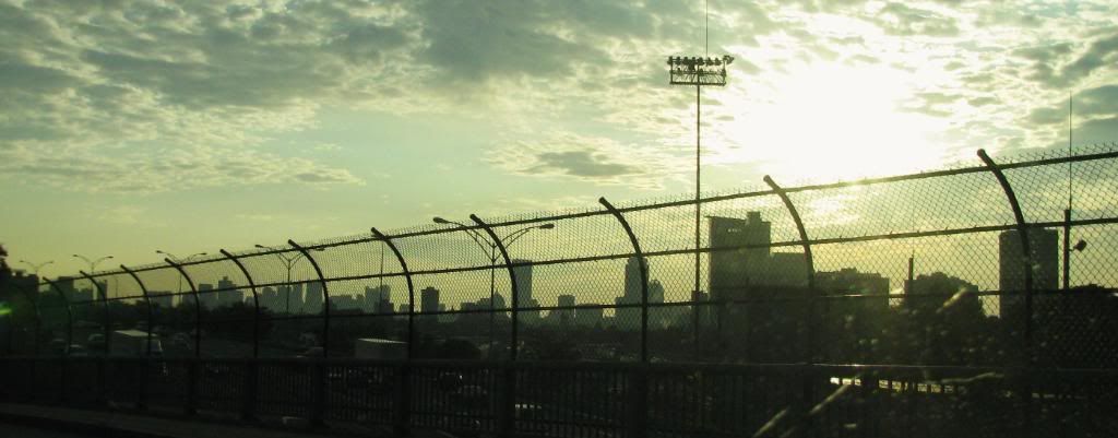
today from Logan
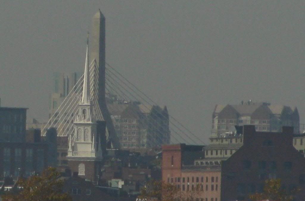
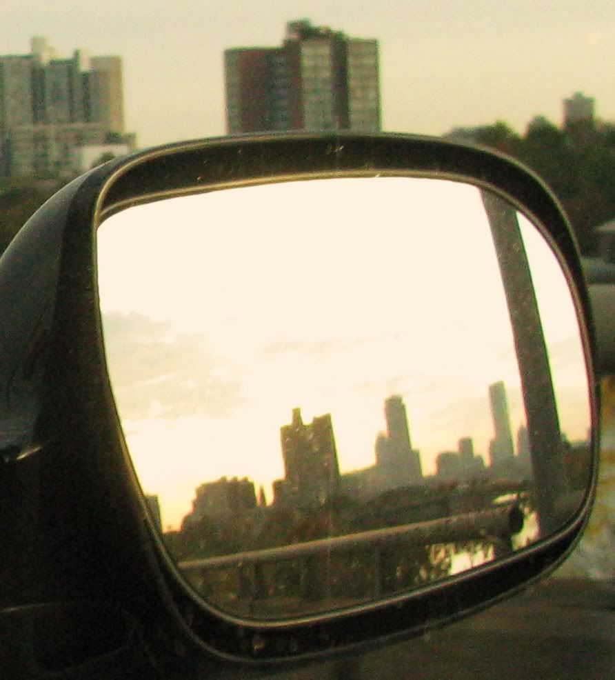
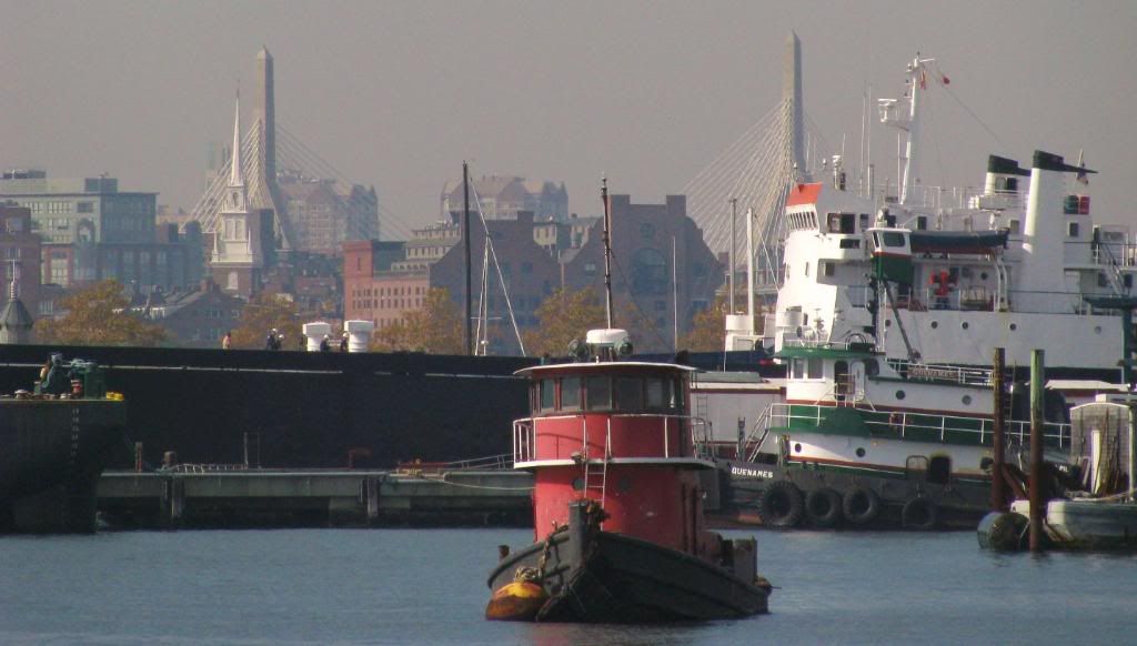 and from the pike west bound


Ron Newman
Senior Member
- Joined
- May 30, 2006
- Messages
- 8,395
- Reaction score
- 13
That photo could start a small discussion. I never saw this area before the tunnel was built, but the tunnel both facilitates and obstructs pedestrian circulation in the area. Facilitates, by connecting the Science Center plaza directly to the north gate of Harvard Yard, removing any intervening street traffic. Obstructs, by forcing all pedestrians to use this path and making it hard to walk any other direction (such as from Johnston Gate to the Harvard Epworth Church).
Anyone know where I can find photos of what this area looked like before the tunnel?
Anyone know where I can find photos of what this area looked like before the tunnel?
- Joined
- May 25, 2006
- Messages
- 7,034
- Reaction score
- 1,875
Central Boston:
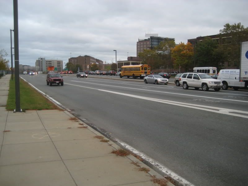
Rochester is really pretty in the ... fall.
OK, its not all bad.
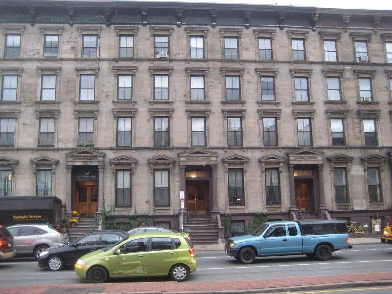
This is such a beautiful bock, marred by the 4-lane highway that is Mass Ave. I really would have liked to have seen it before, when it was a posh residential street.
Ron Newman
Senior Member
- Joined
- May 30, 2006
- Messages
- 8,395
- Reaction score
- 13
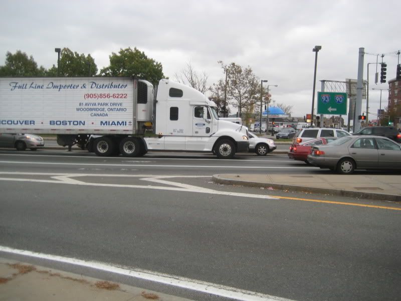
I don't recognize the first photo -- where is it?
I don't recognize the first photo -- where is it?
Looks like Melnea Cass Boulevard near 93.
I don't recognize the first photo -- where is it?
Slightly to the left of this (thats mass ave on the right)
Lurker
Senior Member
- Joined
- Jun 13, 2006
- Messages
- 2,362
- Reaction score
- 0
Melena Cass was a very important woman in the city. She deserves a street named after her. The anti-urban light industrial joke of a master plan dating back to the I-695 and "Campus High-School" which became Madison Park H.S. needs to be shredded and replaced with something congruent with the original South End grid. Ideally, it should be another, albeit better planned as an avenue, Mass Ave.
Boston02124
Senior Member
- Joined
- Sep 6, 2007
- Messages
- 6,893
- Reaction score
- 6,639
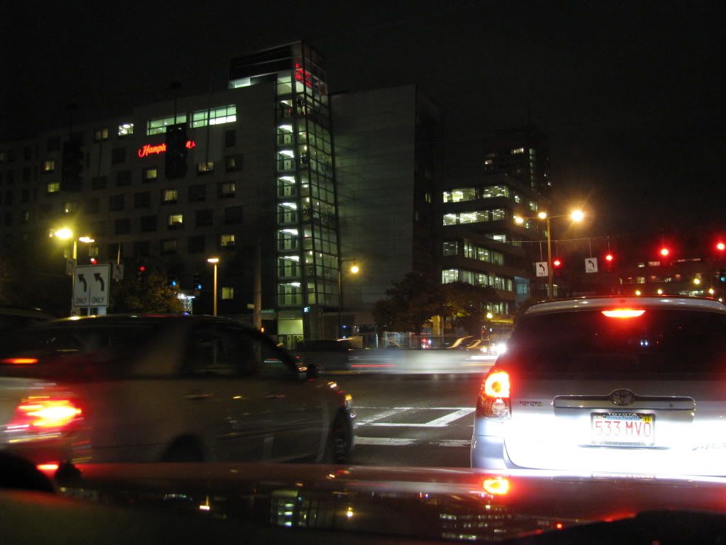
Took this last nite now we're talking about it hmm?

- Status
- Not open for further replies.

