Alright here's my reasonable transit pitch:
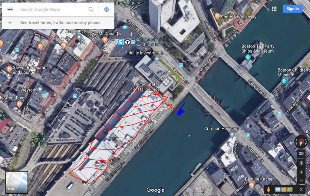
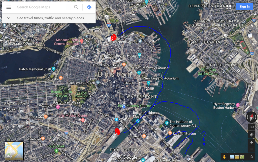
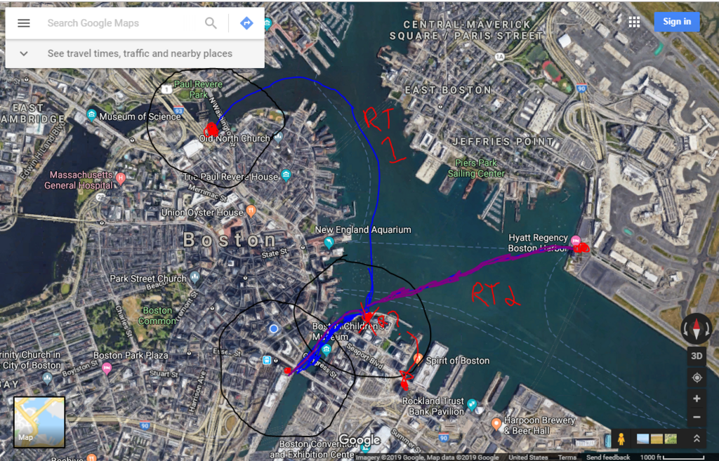
North Station is waterfront, South Station is waterfront, South Boston Waterfront is (you guessed it) waterfront. Lets use the completely uncongested waterways to our advantage. Very low capital cost, needs a few boats, a couple docks and a new pedestrian walkway at N Station. Way lower cost than new underground transit lines between Nstation and Sstation. North Station to South Boston Waterfront is a painful connection but thousands of commuters do it. Easily 30 minutes/three transit lines if you want to avoid walking too far. Once South Station expansion happens there should be direct waterfront access to S Station. An effective ferry (see London) would easily outpace the silver line.
Hell, add in a link to Logan airport once the automated people mover is in place at Logan and never deal with the i93 SL1 tunnel traffic. Based on the current ferry time tables it could do S Station to Logan in under 15 minutes, consistently, regardless of time of day or traffic.
We are surrounded by water in Boston, I think there are a bunch of potential ferry routes that could be implemented where demand clearly already exists. Are there potential issues? Sure, weather and ferries don't always mix, but its definitely do-able and we current manage to run ferries.