odurandina
Senior Member
- Joined
- Dec 1, 2015
- Messages
- 5,328
- Reaction score
- 265
Interesting that the USGS chooses SF as it's poster child;
https://earthquake.usgs.gov/learn/topics/geologicmaps/liquefaction.php
Liquefaction Susceptibility
Liquefaction is a phenomenon where saturated sand and silt take on the characteristics of a liquid during the intense shaking of an earthquake. The highest hazard areas are concentrated in regions of man-made landfill, especially fill that was placed many decades ago in areas that were once submerged bay floor. Such areas along the Bay margins are found in San Francisco, Oakland and Alameda Island, as well as other places around San Francisco Bay. Other potentially hazardous areas include larger stream channels, which produce the loose young soils that are particularly susceptible to liquefaction.
Google Earth File
This layer shows the varying susceptibility in different parts of the region. Susceptibility is delineated in five units from “Very High” to “Very Low” hazard. Roughly one quarter of the San Francisco Bay region may be exposed to liquefaction—the area mapped in the “Very High”, “High” and “Moderate” categories makes up about 25% of the 9-county region.
To follow up on Weigh's post about landfilling: Keep in mind, the USGS makes it sound like man made landfill is the area of greatest concern. But all alluvial sediments of the western Sierra's are highly susceptible. When the Big One hits the LA basin, you may hear about rolling waves and sand geysers.

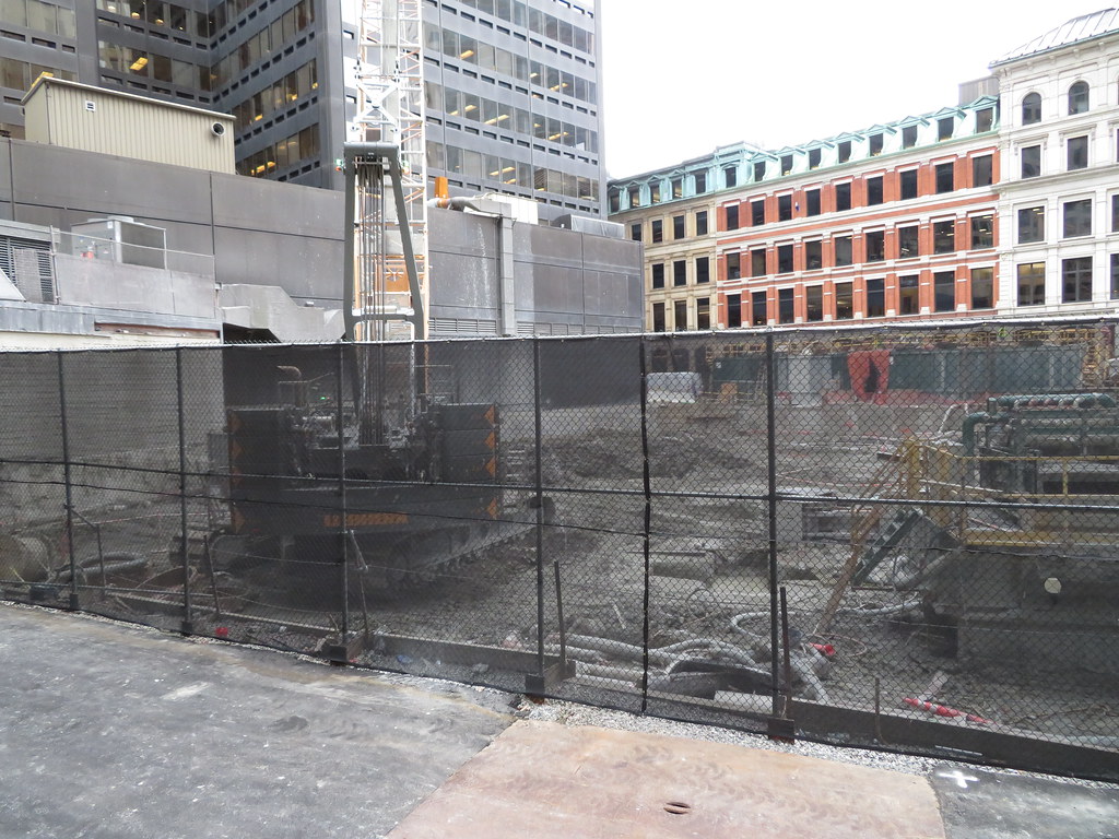
 IMG_8291
 IMG_8294
 IMG_8296
 IMG_8297
 IMG_8298
 IMG_8299
 South side
 IMG_8308
 IMG_8309
 IMG_0401
 IMG_0405
 IMG_0414
 IMG_0415
 IMG_0416
 IMG_2467
 IMG_2470
 IMG_2469
 IMG_2472
 IMG_2477
 IMG_2475
 IMG_2485
 IMG_2486