You are using an out of date browser. It may not display this or other websites correctly.
You should upgrade or use an alternative browser.
You should upgrade or use an alternative browser.
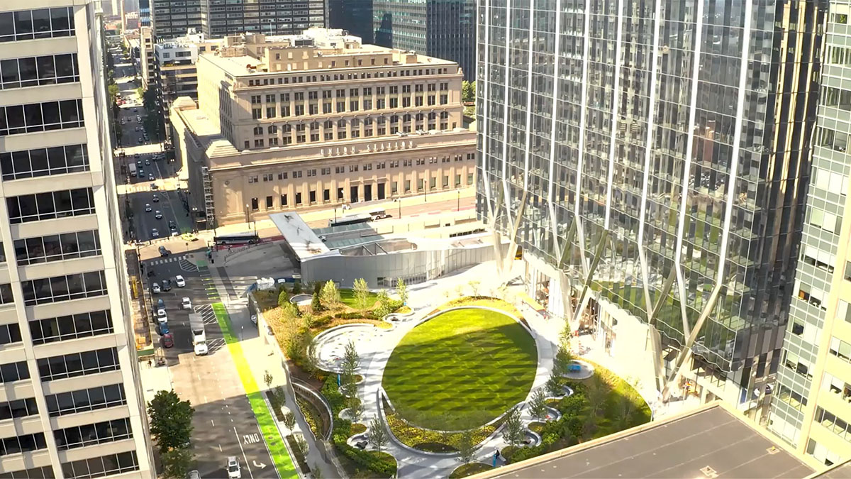
Winthrop Center | 115 Winthrop Square | Financial District
- Thread starter vanshnookenraggen
- Start date
gravedigger4444
New member
- Joined
- May 27, 2006
- Messages
- 84
- Reaction score
- 8
I think there will be a good shot of this coming down Boylston St as well.
Boston02124
Senior Member
- Joined
- Sep 6, 2007
- Messages
- 6,936
- Reaction score
- 7,088
Boston02124
Senior Member
- Joined
- Sep 6, 2007
- Messages
- 6,936
- Reaction score
- 7,088
 IMG_7936
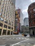
4/23
 IMG_8113 by David Z, on Flickr
 IMG_8115 by David Z, on Flickr
 IMG_8116 by David Z, on Flickr
 IMG_8118 by David Z, on Flickr
 IMG_8121 by David Z, on Flickr
 IMG_8122 by David Z, on Flickr
 IMG_8133 by David Z, on Flickr
 IMG_8135 by David Z, on Flickr
 IMG_8137 by David Z, on Flickr
 IMG_8141 by David Z, on Flickr
 IMG_8142 by David Z, on Flickr
 IMG_8148 by David Z, on Flickr
IMG_8113 by David Z, on FlickrIMG_8115 by David Z, on FlickrIMG_8116 by David Z, on FlickrIMG_8118 by David Z, on FlickrIMG_8121 by David Z, on FlickrIMG_8122 by David Z, on FlickrIMG_8133 by David Z, on FlickrIMG_8135 by David Z, on FlickrIMG_8137 by David Z, on FlickrIMG_8141 by David Z, on FlickrIMG_8142 by David Z, on FlickrIMG_8148 by David Z, on FlickrBos77
Active Member
- Joined
- May 26, 2006
- Messages
- 482
- Reaction score
- 296
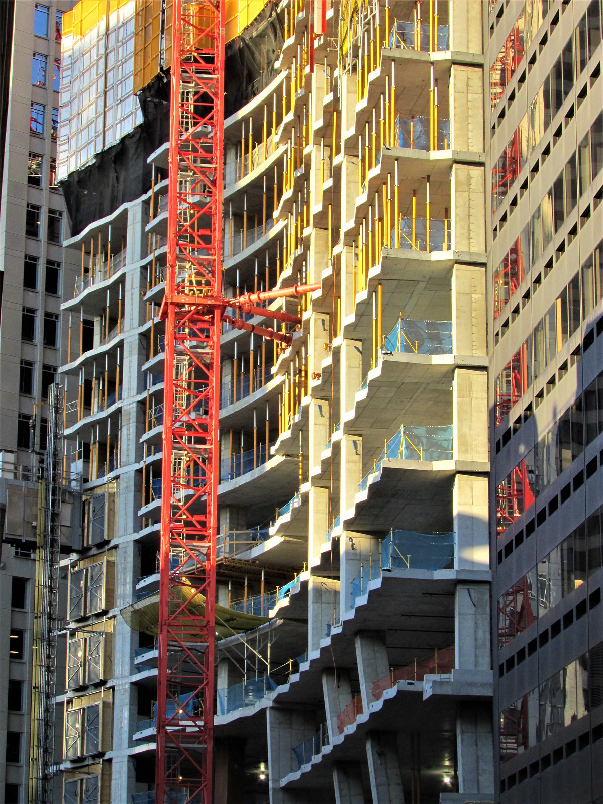
If you want to see a real life example of the wavy windows might look like, check out Winthrop's recently topped out 727' doppelganger: 320 South Canal in Chicago.
 320southcanal.com
320 South Canal — Upscale Class A Office Space in Chicago
Welcome to 320 S Canal, elegant class A office space in Chicago with views of Lake Michigan and modern amenities to fit every tenant's needs.
AndrewOnTheMBTA
Active Member
- Joined
- Mar 12, 2021
- Messages
- 355
- Reaction score
- 776
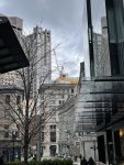
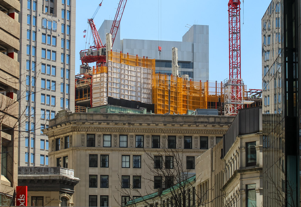
It's really exciting to see this finally rising above its neighbors in the area. This parcel has to be one of the longer planned developments maybe along with the South Station Tower. I remember when I was a child and the 75-story design came about and here we are now. I think the South Station tower going vertical will be the only bigger accomplishment to come for Boston skyscrapers (and then maybe the Harbor Garage in like 2040  )
)
)


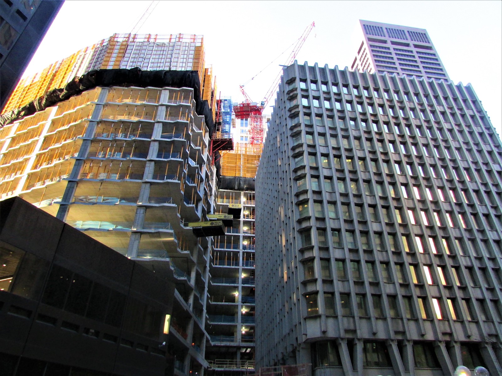
 IMG_8278
Blackbird
Senior Member
- Joined
- Feb 2, 2014
- Messages
- 1,246
- Reaction score
- 1,832
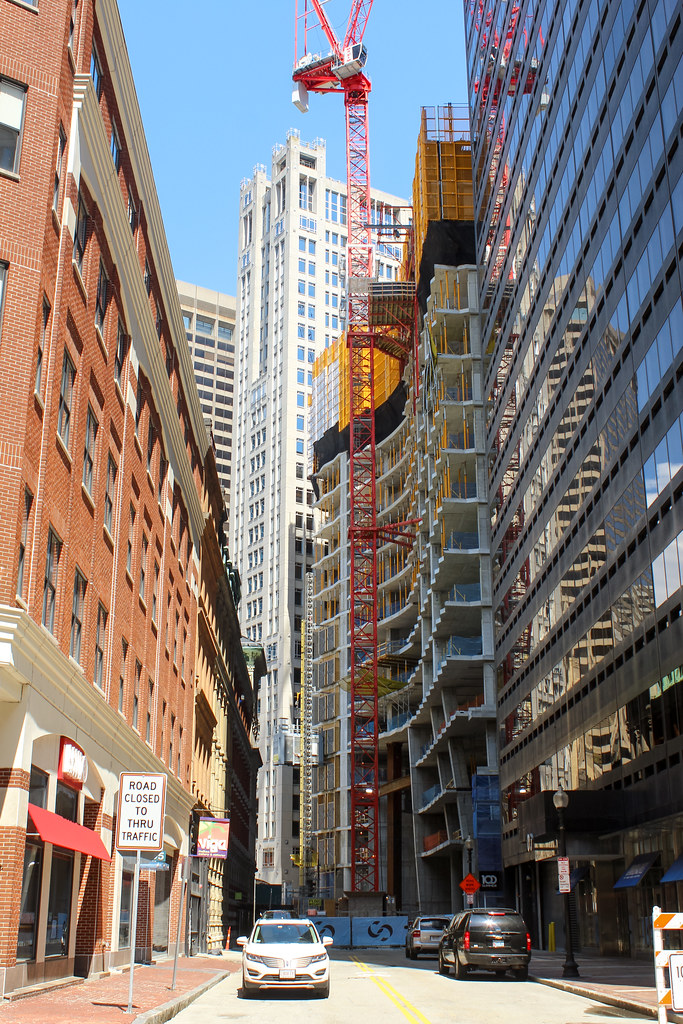
I feel claustrophobic just looking at this photo! Is it possible to walk straight here between those buildings?
I feel claustrophobic just looking at this photo! Is it possible to walk straight here between those buildings?
It sure is. I do it all the time.
Google Maps
Find local businesses, view maps and get driving directions in Google Maps.
I feel claustrophobic just looking at this photo! Is it possible to walk straight here between those buildings?
Not only is it possible--pre-pandemic, it was easily one of the Top 5 most traveled pedestrian thoroughfares in New England, in terms of people per-hour from, say, 7 am-9:30 am and again from 4-5:30 pm, on weekdays. Being the primary pedestrian corridor from South Station to the Financial District.
The only places in New England I could possibly conceive of as having higher pedestrian throughput at anytime, 24/7/365, would be South Station/North Station/Logan Airport/DTX station*, Fenway, Gillette, Great Woods.
(*annoyingly, the MBTA hasn't updated its passenger volumes handbook in ages, I believe...)
I think you might be confusing the view with this:
Google Maps
Find local businesses, view maps and get driving directions in Google Maps.
kz1000ps
Senior Member
- Joined
- May 28, 2006
- Messages
- 9,186
- Reaction score
- 13,715
I feel claustrophobic just looking at this photo! Is it possible to walk straight here between those buildings?
Haha yes it is. That little triangular plaza in the midground flows directly into the plaza that surrounds 133 Federal, so despite the chaos it's entirely possible to do a straight shot right up to the new building from here.
AndrewOnTheMBTA
Active Member
- Joined
- Mar 12, 2021
- Messages
- 355
- Reaction score
- 776
I was thinking that too. The Federal St connection to South Station from the Financial District is. I'm not sure how it wasn't changed to ped only everI think you might be confusing the view with this:

Google Maps
Find local businesses, view maps and get driving directions in Google Maps.www.google.com