- Joined
- Jan 7, 2012
- Messages
- 14,173
- Reaction score
- 23,688
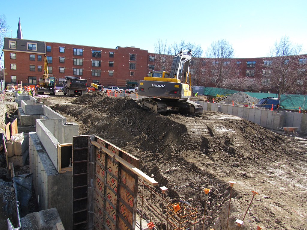
150 Camden/Douglas Park
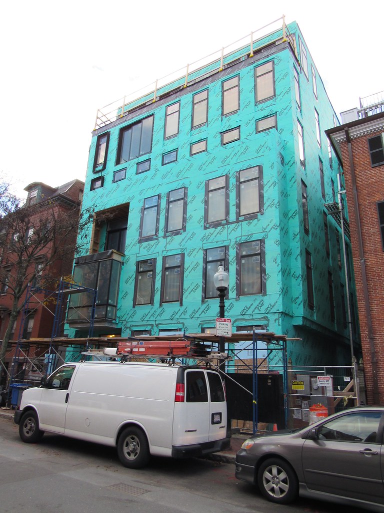
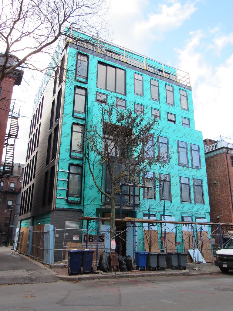
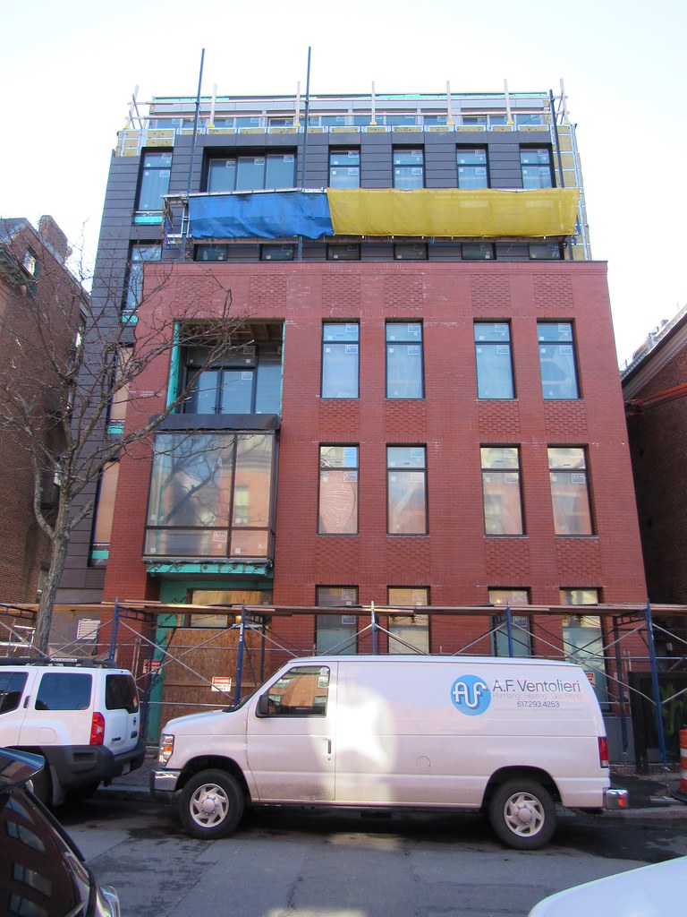
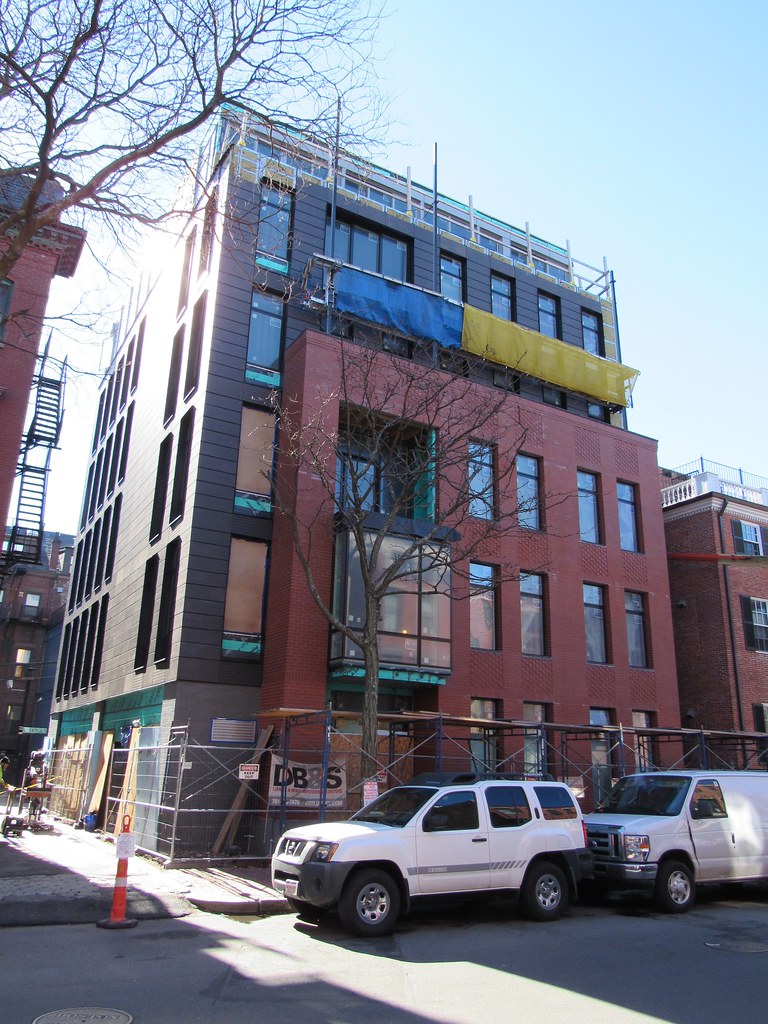
Work has begun at the 150 Camden site.
https://flic.kr/p/PgJK3J
https://flic.kr/p/PgJDtN
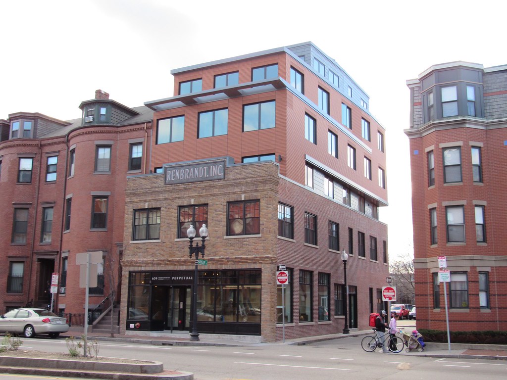
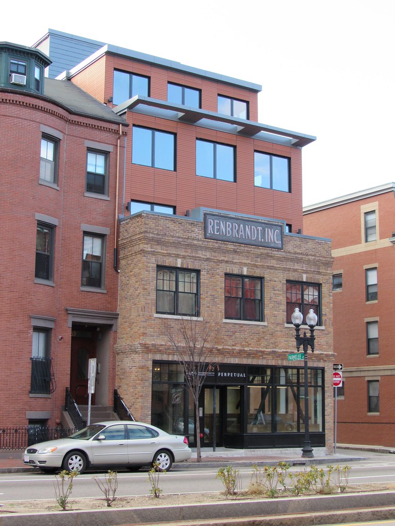
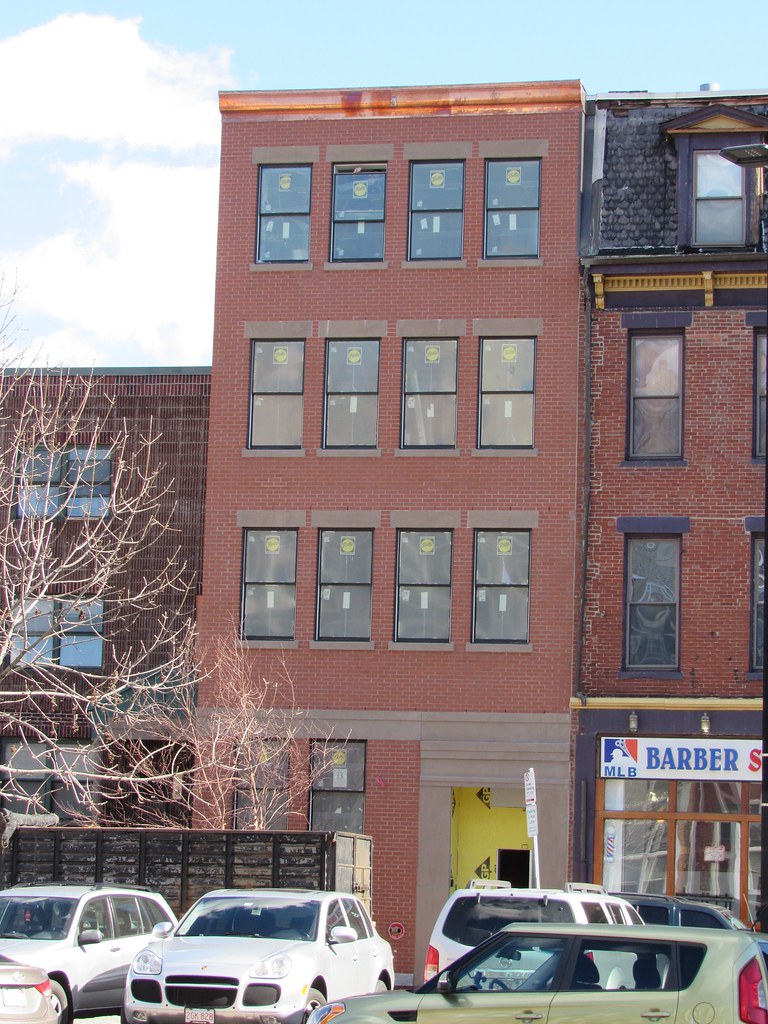
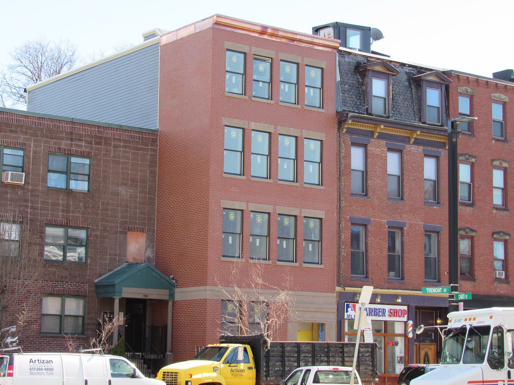
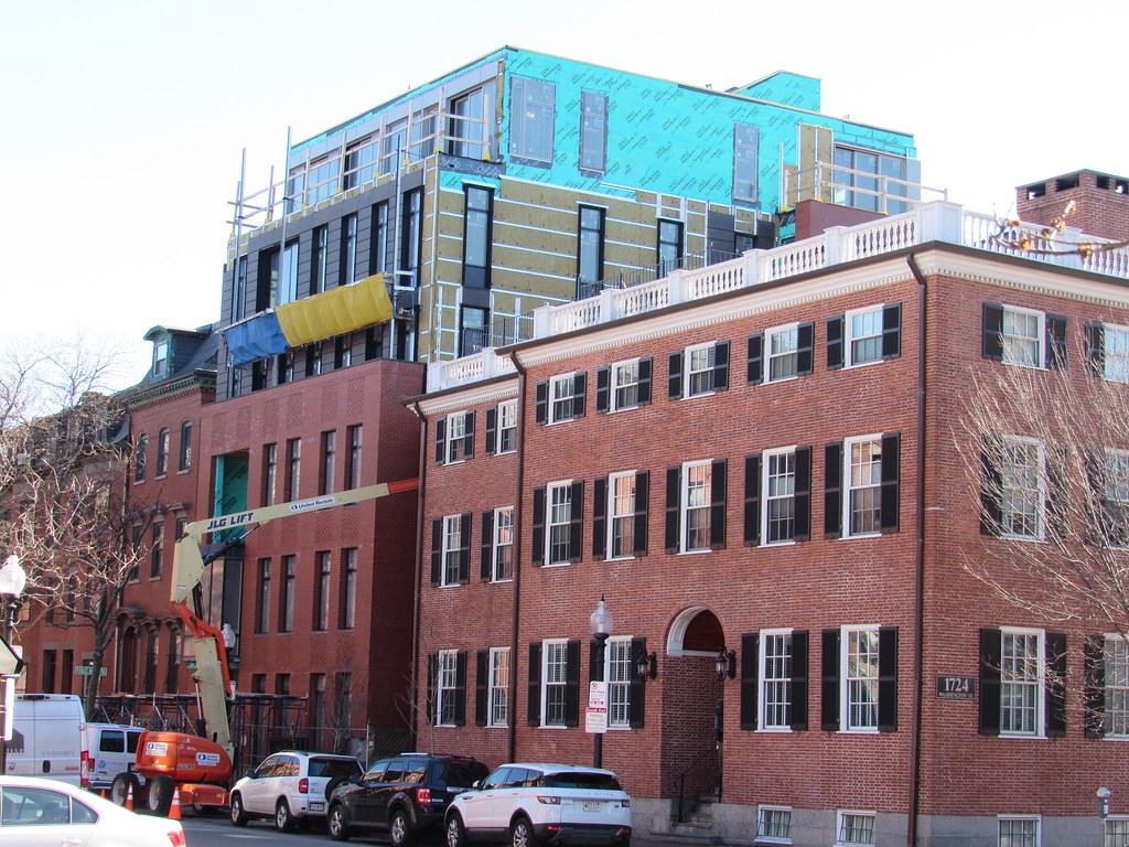
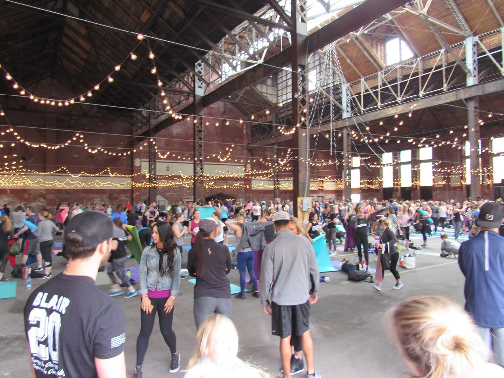
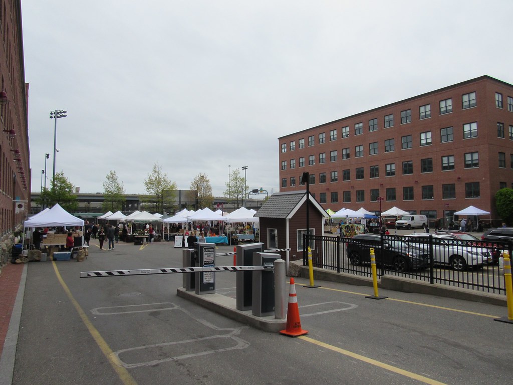
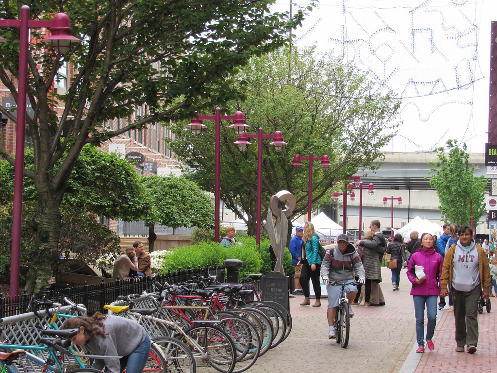
All these pictures are great, and it is really interesting to see a neighborhood like the South End, which is so dense, finding the final spots that need to be upgraded. If I may say so, though, many of these projects are technically in Roxbury. For instance anything on the west side of Mass Ave. While I do believe that they belong in this thread, it is interesting to note that the South End is expanding. Not to say that Roxbury is contracting, as Dudley is experiencing lots of growth, but it is (to my mind) starting to look like the "South End" might include anything east of Melnea Cass. Wow I am good at passive voice.
 https://flic.kr/p/QsSgcu
Roxbury has been shrinking for decades. Boston neighborhoods aren't defined by official borders like the boroughs of NYC — anyone can drag up their ward map, or police map, or garbage collection map, but none of these are "official". In the 1970s what was called the South End was a much smaller area. Real estate agents market border zones with the name of whatever nearby affluent or less notorious district is called, then the people who move in say, "Oh, I live in the South End"... Young people who don't know any better seem to think Melnea Cass is the border of South End and Roxbury, which is utterly ridiculous.
The other process that happens is a sub-neigborhood takes on an independent identity as distinct from the main neighborhood — like Mission Hill (Roxbury — although a good chunk of Mission Hill (the back side, where seediness persisted longer) has been marketed for a while as JP, as well), Roxbury Crossing, Fort Hill...