"Dorchester resident John Wixted argued that Morrissey Boulevard functions largely as a commuter funnel rather than a local road, citing estimates that 75 to 85 percent of traffic consists of through traffic heading to Interstate 93.
“Instead of spending hundreds of millions of dollars raising a road that keeps flooding, why not move that commuter traffic onto I-93 where it belongs?” Wixted said".
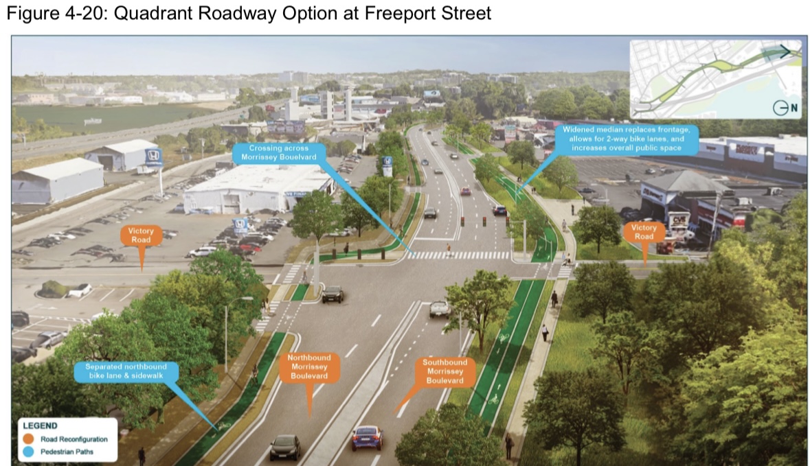
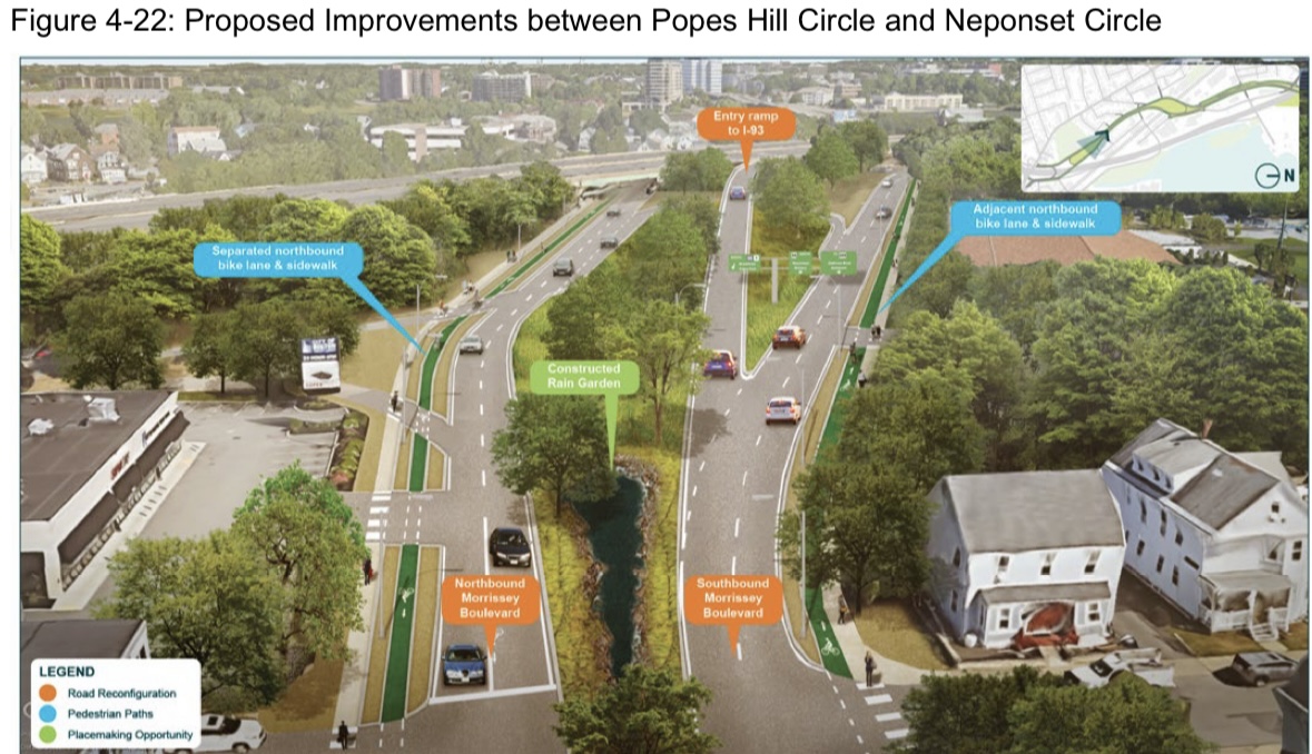
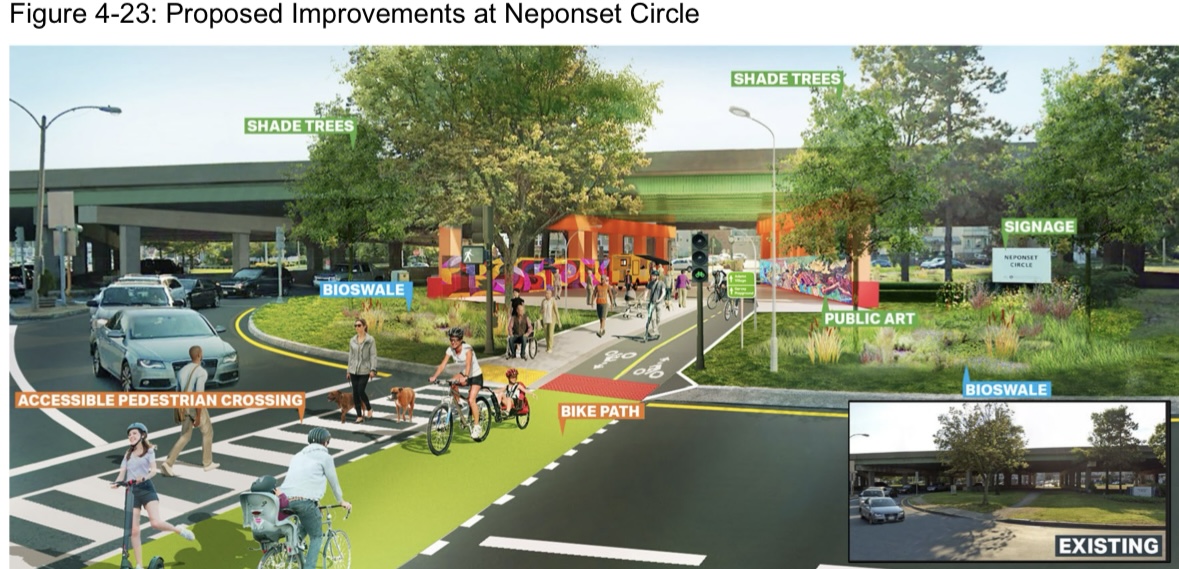
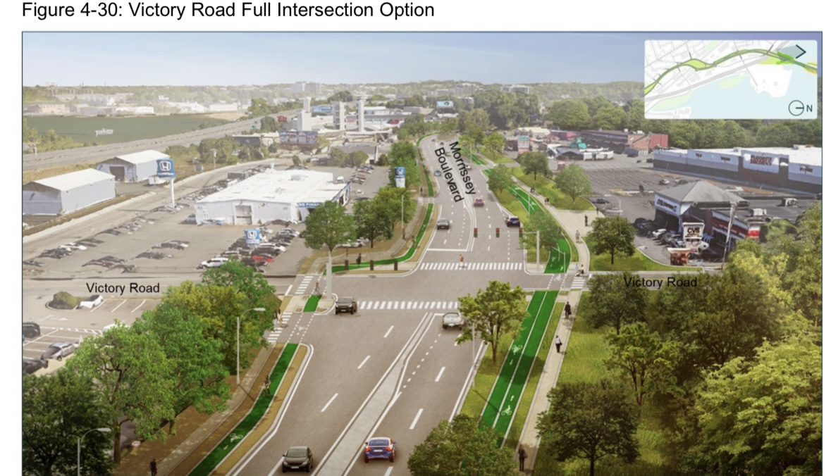
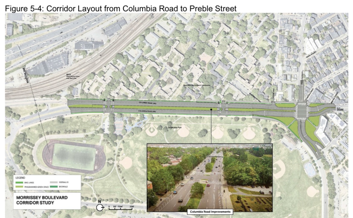
State transportation officials on Tuesday laid out early design options for replacing the nearly century-old Beades Bridge on Morrissey Boulevard, drawing pointed questions from residents about cost, climate resilience, traffic disruption, environmental contamination and whether the bridge...

www.dotnews.com