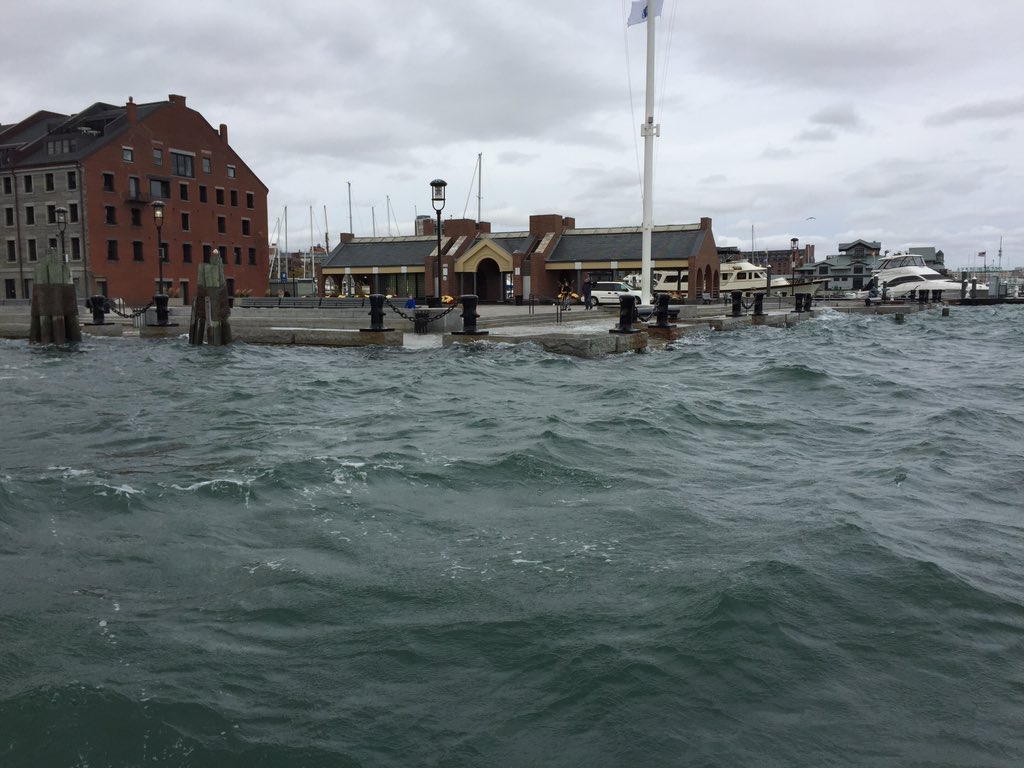
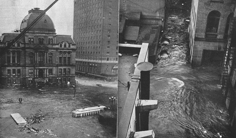
Yeah I totally recognize that the tide was super high.
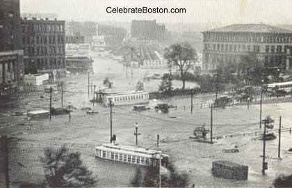
Keep in mind, though, that the pavilion in the long wharf shot is an emergency exit to the blue line. There's another blue line entrance at the other end of the wharf, which is tied into the Artery tunnel.
Does anyone think the MBTA was keeping a close eye on the weather this week, and was ready to implement a response and mitigation action plan if the wind hit specific intensity and duration thresholds? I don't think so.
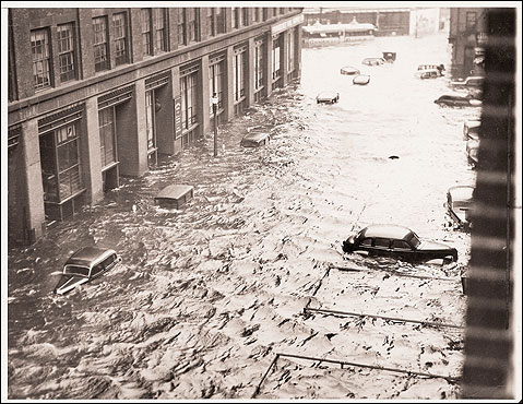
The issue is not whether the carpets at Strega in 1MPD get wet and salty - its whether all our very expensive, very fragile, and very critical underground infrastructure gets put out of commission for a very long time, all of a sudden.
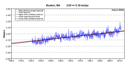
I know the chance of any given big storm coming exactly at high tide is low, and the chance of one coming at a super high tide is even lower. But over 10 years? or 20 years? or 50? As a complete SWAG, I'm willing to put the probability of at least 2 major pieces of infrastructure being badly damaged by a storm flood during my lifetime at >50%. And it will be a lucky thing if no one dies when it happens.
That shouldn't be an acceptable risk, and it continues to amaze me that no one in a position of power or influence is talking about it. A barrier would pay for itself in reduced insurance premiums alone.
(And yes, i recognize wrong thread, apologies)