Aerials

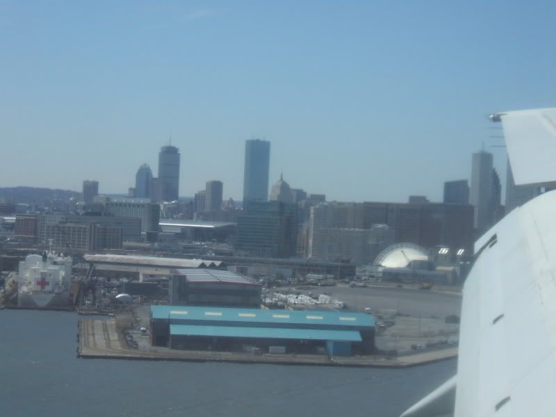
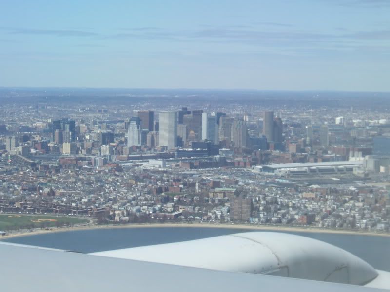
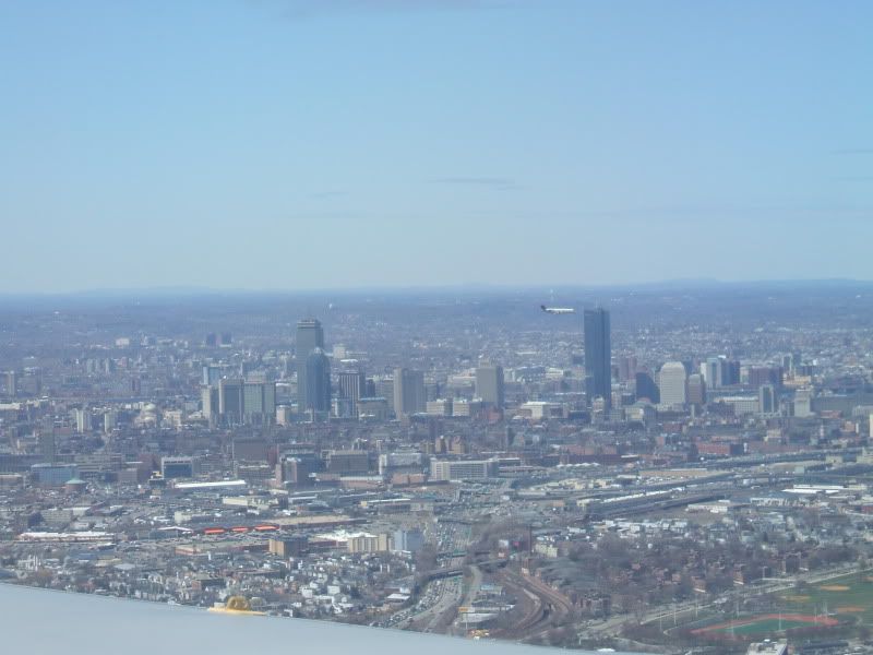
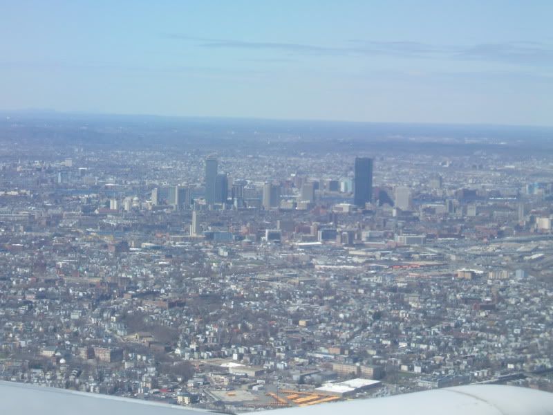
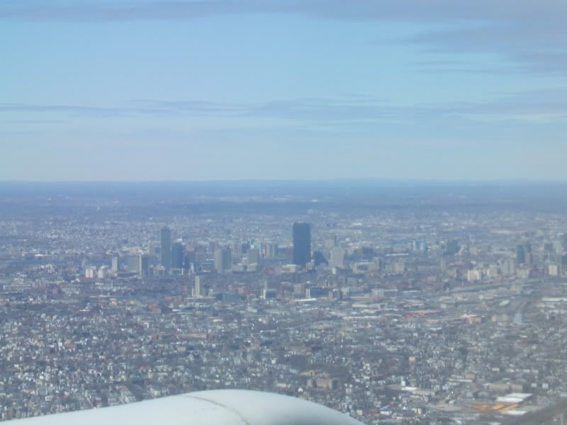
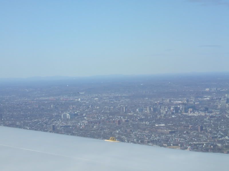
Here's something I found with some sweet pics including some aerials:

http://images.google.com/imgres?img...s&start=36&um=1&hl=en&sa=N&ndsp=18&tbs=isch:1

boston_mar_09_metroscenes.com_21.jpg
 
^With the exception of the C.C. area, that one looks REALLY dense.
 
Yup; once the Seaport, Fort Point, and Broadway Station areas are fully developed, this angle will be one hell of a view.
 
that last pix at 1st looked like SF,Thats the 1st time I saw a pix that made Boston look dense! thanks for shareing!
 
Fargo Terminal and Convention Center look like crap. Other than that, wicked awesome shot.
 
Isn't the canal now used for cruise ship docking and the container port? I'm all for adding apartments but not at the expense of marine uses that can't go anywhere else.
 
The cruise ship terminal isn't in this photo. That canal runs along Pappas Way, a private road servicing a bunch of industrial buildings and the Boston Athletic Club. Between the populated part of South Boston and the water is an industrial belt that was just beginning to be redeveloped, but most of those projects are now stalled.
 
Isn't the canal now used for cruise ship docking and the container port? I'm all for adding apartments but not at the expense of marine uses that can't go anywhere else.

No ships can get past the Summer Street Bridge anyways, so residential development on the inside of that bridge sounds like a great idea and wouldn't really effect much. I'd like to see where UPS would move their distribution center to, though... I don't think they're too interested in moving.
 
I spent an embarrasingly long time trying to identify those pics as Boston...
 

Back
Top