- Joined
- Jan 7, 2012
- Messages
- 14,173
- Reaction score
- 23,688
I know no one cares about traffic but what is the plan for Gilmore bridge? It’s always so backed up.
Better to expand the transit system.
I agree, but the devil is in the details. What transit expansion would accommodate current users of this bridge? Extend the one of the Lechmere buses (69, 87, etc) to Community College? Continue build out of Urban Ring elements (ie extend the SL3 busway to the Orange Line)? Add an infill CR stop at Sullivan? GLX + Porter extension? An infill Lowell Line stop in Somerville along the GLX? Bus lanes on North Washington Street? N-S Rail Link? Red-Blue Connector?
Rather than looking at solutions for particular locations, a system-wide approach of expanding transit and reducing congestion would improve inner-metro transportation overall. A light rail urban ring, the Red-Blue Connector, the GLX, improved bus routes, increased bus-only lanes, would all help greatly. Politicians need to have the courage to remove parking and travel lanes in favor of bus-only lanes and light rail lines.
Well in so far as height is a conduit for density. It reminds me of much the DC area development where it is too large scale and master planned to feel organic, but not dense enough to feel vibrant after house. A couple towers would help in that regard.
Pseudo-urbanism. This kind of development sucks.
Rather than looking at solutions for particular locations, a system-wide approach of expanding transit and reducing congestion would improve inner-metro transportation overall. A light rail urban ring, the Red-Blue Connector, the GLX, improved bus routes, increased bus-only lanes, would all help greatly. Politicians need to have the courage to remove parking and travel lanes in favor of bus-only lanes and light rail lines.
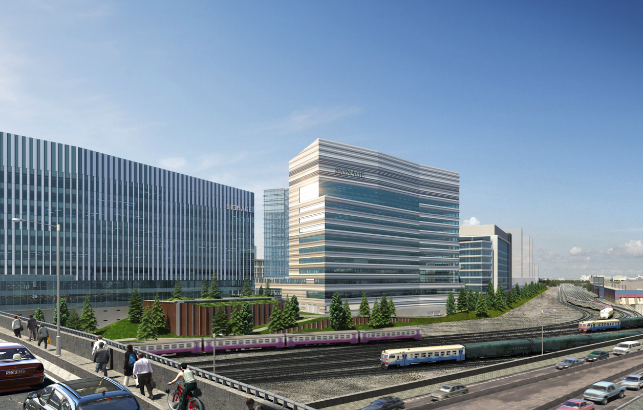
probably from the same place they got the car models with really old German plates!LOL where on earth did they get those 3D train models? They look like some old Eurasian long-haul/sleeper trains and one of them is definitely a freight train...
If there's one company I'm most excited about these days, it's Signage.
If there's one company I'm most excited about these days, it's Signage.
probably from the same place they got the car models with really old German plates!
The narrow crowded walkway on the Gilmore Bridge, and then the very long, wide railway corridor extending unbridged towards the horizon, screams out for a pedestrian bridge crossing a couple of blocks west of the Gilmore. It would create a walking connection between East Cambridge/NorthPoint and Charlestown.
Actually, that's not a bad idea, though dips uncomfortably into the territory of getting someone to pay for it and the state to agree to the new crossing spanning BET's lead tracks. I think it'd be a good ped/transit connection to BET for employees (are they including a connection from NorthPoint to BET?) though what would it connect to on the Charlestown side other than the back-side of BHCC?
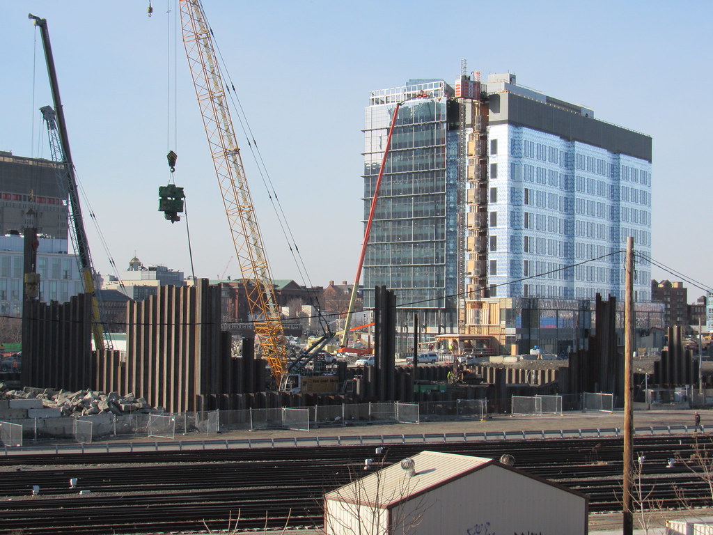
 https://flic.kr/p/RkjX5p
 Sampler for Parcel G
 https://flic.kr/p/2dZMGP7
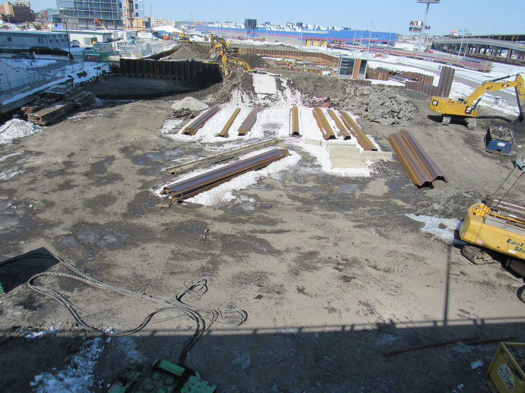 Looking N from the Gilmore Parcel H is in the fore ground
DivcoWest, the developer behind the new 43-acre mixed-use
development Cambridge Crossing (CX), in partnership with the City of Cambridge, brought the renaming of two streets before the City Council, which voted to approve the change Monday evening, in response to the direction around creating improved wayfinding and more consistent street names. To honor two visionary women crucial to the City’s history, they are proposing that North Street becomes Jacobs Street, and North Point Boulevard becomes Morgan Avenue. The new names will reflect prominent African-American women with ties to Cambridge who were involved in the suffrage movement, Harriet A. Jacobs and Gertrude Wright Morgan.