maxdatabook
New member
- Joined
- Oct 6, 2020
- Messages
- 43
- Reaction score
- 106
Photos from 2/21.


") That latest was update 3/21 but image dated 4/20, so looks like Google Earth makes images public a year behind. I highly recommend anyone here who has an interest, to get a Google Earth account (free, but they take a day to approve). The desktop "pro" app is also free and has the time machine tool to go back and look at old satellite imagery. There are some good tutorials on YouTube.
That latest was update 3/21 but image dated 4/20, so looks like Google Earth makes images public a year behind. I highly recommend anyone here who has an interest, to get a Google Earth account (free, but they take a day to approve). The desktop "pro" app is also free and has the time machine tool to go back and look at old satellite imagery. There are some good tutorials on YouTube. I thought I had read through all 83 pages of this thread and didn't see any old satellite photos. I was excited to find this feature in Google Earth Pro and posted it. The only threads I follow is CX and the Cambria hotel. Yes, at best, public imagery seems to be a year out of date. Do you know anything more current? I'm new to this.I don't want to be rude, but is there a reason for these google earth comparisons on a few threads now?
The Google imagery is already quite out of date.
I wanna say the aerial view on google is from May of 2018 or 2019 (fun fact, you can tell at least a portion was taken around Memorial Day with the field of flags visible in the Common).I thought I had read through all 83 pages of this thread and didn't see any old satellite photos. I was excited to find this feature in Google Earth Pro and posted it. The only threads I follow is CX and the Cambria hotel. Yes, at best, public imagery seems to be a year out of date. Do you know anything more current? I'm new to this.
While I'm here, what I'd love to see is an updated model of CX. When I visit, it looks different than what I find online.
Also, is there an assessment of how long people will wait to get out of CX with the existing streets connecting to Route 28?
I think it's cool. Thanks for posting.I thought I had read through all 83 pages of this thread and didn't see any old satellite photos. I was excited to find this feature in Google Earth Pro and posted it. The only threads I follow is CX and the Cambria hotel. Yes, at best, public imagery seems to be a year out of date. Do you know anything more current? I'm new to this.
While I'm here, what I'd love to see is an updated model of CX. When I visit, it looks different than what I find online.
Also, is there an assessment of how long people will wait to get out of CX with the existing streets connecting to Route 28?
I think this building is the best in cambridge crossing. Modern but with a really strong, fortified look. Great shot.View attachment 11358
Exterior cladding mostly done for 450 Water St. (Parcel H). To the right hand side will rise lot U (in the current parking lot). An electrical substation is being installed near 20/20 to aid the development work and geo will be back on site at the end of the month, moving on to excavation in the May timeframe.
We’re u behind me today

 IMG_4207 by Bos Beeline, on Flickr
 IMG_4208 by Bos Beeline, on Flickr
 IMG_4215 by Bos Beeline, on Flickr
 IMG_4210 by Bos Beeline, on Flickr
 IMG_4214 by Bos Beeline, on Flickr
 IMG_4216 by Bos Beeline, on Flickr
 IMG_4218 by Bos Beeline, on Flickr
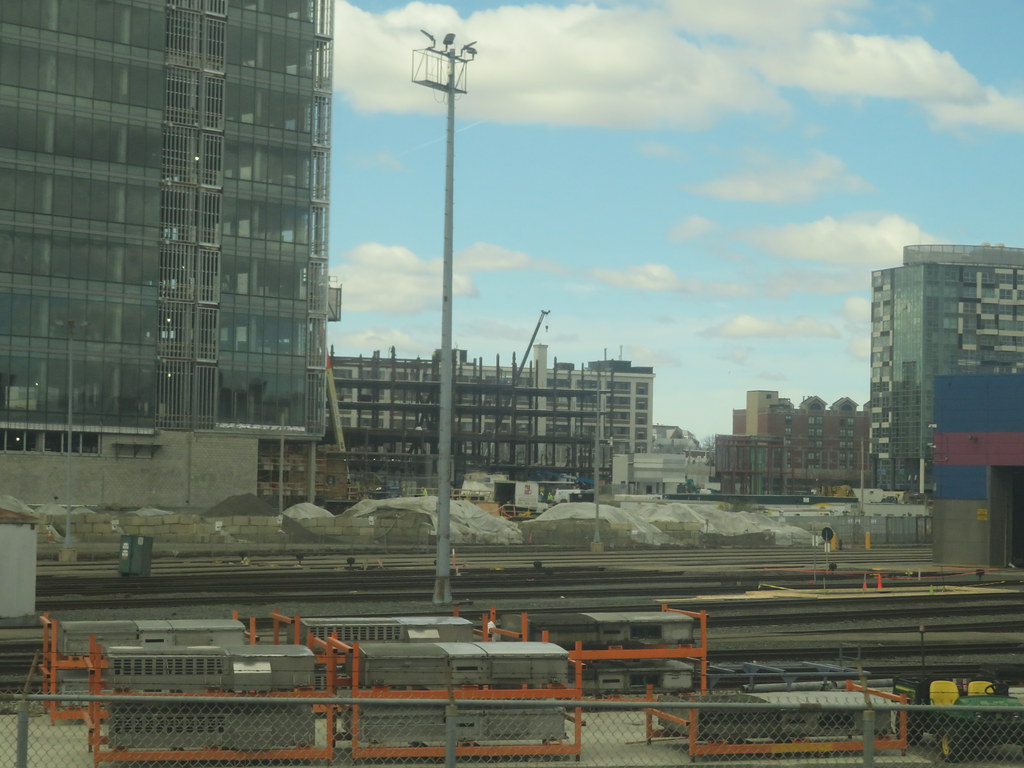
Sorry for the quality, but that is the life looking out the window of a CR train these days.
 IMG_6854
 IMG_6953
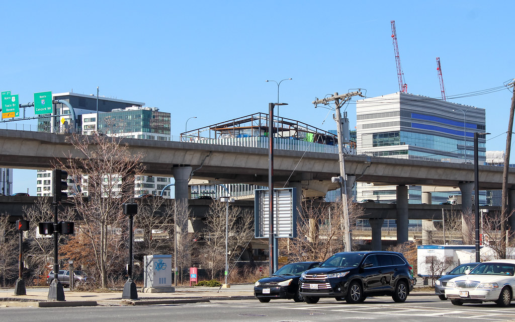
 IMG_7318
 IMG_7319
 IMG_7441