Dorchester Infill and Small Developments

I always wonder about that whole Hancock-Pleasant Street intersection - so much pavement, and shitty all around. Kane Sq was a big streetcar turnaround so perhaps it has something to do with streetcars, but I doubt it, since Bowdoin St is not like this. Was there some ill fated urban renewal project here? I know when they were building what's now MLK Blvd the plan was for a large boulevard to connect JP (i95) to i93 via the Quincy Street corridor - which comes out right here. Maybe there was a little flurry of clearance from the i93 end of things? Does anyone know?

According to the 1933 Bromley Atlas It looks like the stretch from Downer Sq to Kane Sq was always in this configuration. I agree though, it does seem like the streets in the area are needlessly wide. The trolley barn in Kane Sq. is the only reasonable explanation.
 
The most reasonable explanation for the wide areas is that this part of Dorchester was settled in the 1630's. It was a country town following the same type of development pattern which you would see in say Hubbardston or say Columban Square in Weymouth. Large intersections where main roads meet. Look how wide Harvard Square is. Look at Meetinghouse Hill just up the street from here. These crossroads have been wide since the 1600's.
 
Sort of related, but sort of not: I've always wondered why the retail mix in Dorchester/Mattapan squares like these is so low on the kind of amenities I think about when I think about walkable "livability." An insurance broker, a unisex salon, a storefront church, an autobody shop and a convenience store that's basically a lotto kiosk aren't really helping that. (Or are they? Happy to hear a contrary view...)

Thinking about it more, this is true in many of the smaller Boston area commercial crossroads.
 
According to the 1933 Bromley Atlas It looks like the stretch from Downer Sq to Kane Sq was always in this configuration. I agree though, it does seem like the streets in the area are needlessly wide. The trolley barn in Kane Sq. is the only reasonable explanation.

That's very interesting, and it does look like only a couple houses have been torn down. I like the "Gulf Refilling Co." Also, a lot of garages right around these intersections, so I guess it was just kind of a crappy area to live. Makes sense - it's below the hill and kind of at the end of the better old town thoroughfares (Bowdoin, Hancock, Adams and Pleasant) and right up against the backside of a former turnpike, close to the water and what I presume to have formerly been smelly tidal flats and industrial stuff.

I also learned that the intersection in question is Downer Sq, and also the name for the nice intersection above Kane Sq, which apparently is Eaton Sq. I wonder if people use these names anymore. Kane and Downer are just crossroad

The most reasonable explanation for the wide areas is that this part of Dorchester was settled in the 1630's. It was a country town following the same type of development pattern which you would see in say Hubbardston or say Columban Square in Weymouth. Large intersections where main roads meet. Look how wide Harvard Square is. Look at Meetinghouse Hill just up the street from here. These crossroads have been wide since the 1600's.

Yeah, but as I said above, it's the overall bleakness of the area's buildings and scattered vacant lots that give it the feel of areas that got cleared a half century ago. Going back to Streetview, I guess in my mind I always recall it having more vacant lots than it does, since almost all the buildings on the map from the 30s are still there.

A couple side notes
- It was pretty stupid of the city to not line up Freeport and Hancock when the redid the whole intersection a few years ago. This actually a case where they should taken the corner to straighten things out.
- I also think it would be cool to have a streetcar come back to this area as a crosstown route.
 
Longtime Dot Ave. manufacturing plant is for sale

A longtime manufacturing plant a stone's throw from Savin Hill T Station is now on the market after an August sale to an out-of-state company, the Reporter has learned. James Russell Engineering Works Inc., located at the corner of Dorchester Ave. and Dewar Street, was sold to Ohio-based Worthington Industries in August.

This week, a listing for the two-acre property at 9 Dewar St. appeared on the website of the commercial real estate firm CBRE/New England. In its marketing material, the realtor says that the three existing single-story buildings on the site— totaling 37.500 square feet of space— will be vacant “by mid-2016.”

A description of the property on the real estate website says, “This site has frontage on Dorchester Avenue and is an excellent redevelopment opportunity.”

The property is presently zoned for local industrial and is located in a Neighborhood Shopping Subdistrict. A brochure on the CBRE/New England site describes it as a “potential hard-corner retail location of 135 feet of frontage on Dot Ave. and 20,000 car trips/day.” It also notes that the site is located five blocks from the Savin Hill MBTA station. There is no set asking price, according to CBRE/New England.


http://www.dotnews.com/2014/longtime-dot-ave-manufacturing-plant-sale

There sure is a lot of action in this part of Dorchester lately.
 
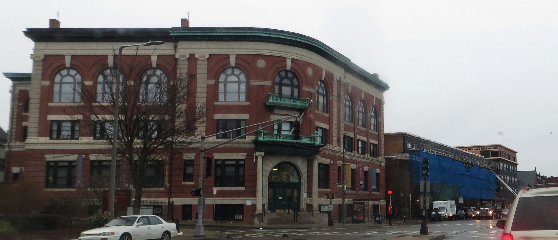
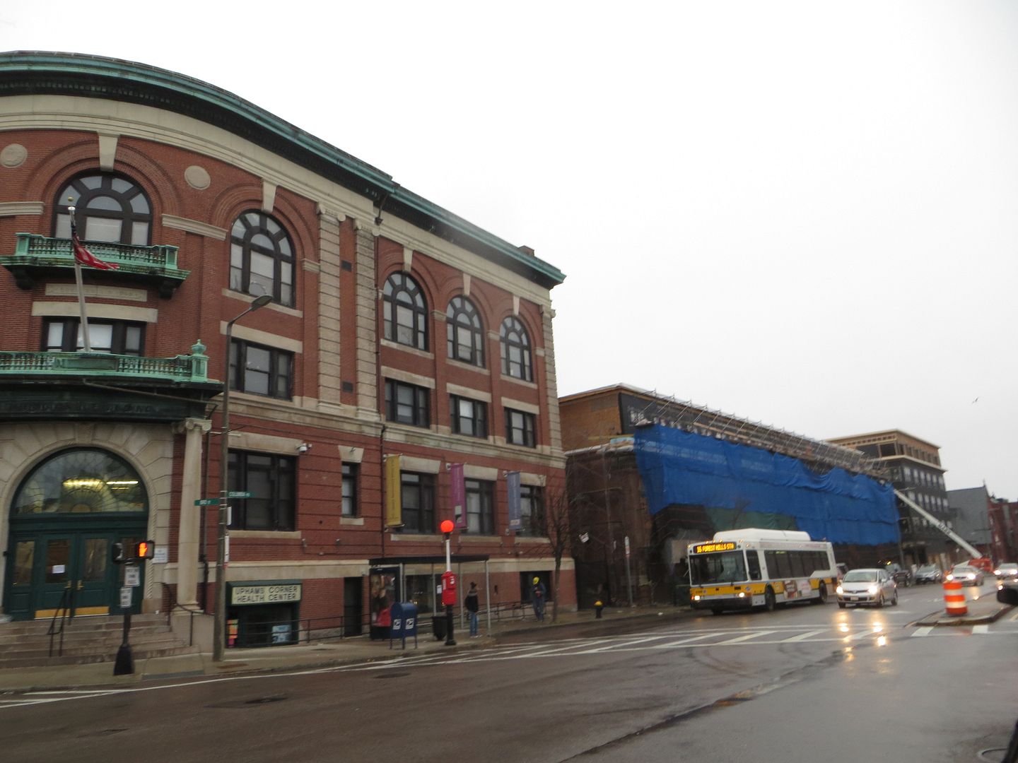
HBI and The American City Coalition (TACC) have teamed up on a proposal to the City of Boston Department of NeighborhoodDevelopment (DND) for a community-oriented redevelopment and reuse plan for the historic Comfort Station at 611 Columbia Road in Upham’s Corner -- adjacent to the Dorchester NorthBurying Ground, a Designated Boston Landmark and listed on the National Register of Historic Places.

While preserving this important piece of historic architecture, HBI and TACC will partner with entrepreneur Noah Hicks, founder of Bowdoin Bike School in Dorchester, to undertake the repurposing of the Upham’s Corner Comfort Station as a full-service bicycle shop and café. Our proposal achieves three important objectives: it enhances the Upham’s Corner Main Street district by reactivating a long-abandoned building; it supports a new commercial venture for a local entrepreneur; and it expands employment opportunities, with an emphasis on skills training for neighborhood residents.

http://www.historicbostonblog.org/2014/11/hbi-teams-up-on-proposal-to-redevelop.html#.VH3S5tLF-uk
 
Dot Ave./Hancock housing plan aired at civic meeting

The residential complex, still in the design stages, would include seven four-story, eight-unit buildings along Pleasant and Greenmount streets, with one larger 36-unit apartment building sited on the three acre parcel’s Hancock Street boundary. The properties would feature one parking space per unit and 52,000 square feet of usable open space.

Robinson, Deabler, and Dasco were all on-hand at Monday’s meeting and were careful to note it is still “very early” in the process for design. They cautioned that any visual renderings can and will change pending community and city input, guaranteed in part by the project’s size designation with the Boston Redevelopment Authority.

The group intends to develop commercial space on the front end of the three-acre parcel that borders Dorchester Avenue, but thus far have nothing concrete to show the community, they said.

In the eight-unit buildings, the first two floors will likely have 1,100 square foot flats, with two bedrooms and two bathrooms and duplexes on third and fourth floors with two bedrooms and two-and-a-half bathrooms, Robinson said. If all goes according to plan, Robinson anticipated breaking ground for the project sometime in late 2015.

http://www.dotnews.com/2014/dot-avehancock-housing-plan-aired

Hint of a rendering in the article.
 
havent seen anything about this on ab so thought id add it, lots going up on quincy st
http://www.boston.com/yourtown/news...quincy_street_corridor_celebrated_at_thu.html
http://www.boston.com/yourtown/news/roxbury/2013/10/hold_revamp_of_quincy_street_progresses.html
http://www.dotnews.com/2014/opportunity-sets-shop-quincy-street

The Quincy Heights Development, a $56-million effort by the Dorchester Bay Economic Development Corporation, will use $12.5-million in federal funds to construct 129 new affordable units. Dorchester Bay’s Pearl Food Production and Small Business Center, a $14.5-million project, will use $3.075-million in federal funds to create the center.

The money is also going to support a Boston Public Health Commission mental health initiative, a community outreach program by the non-profit Project

....

Although the attention Thursday was focused on projects benefiting from the HUD funds, there are also a number of projects in the immediate area that are tied to efforts to revitalize the neighborhood.

The Quincy Commons development, a $20-million project by the Nuestra Comunidad Community Development Corporation on the corner of Blue Hill Avenue and Quincy Street, once completed will provide 44 new affordable units for seniors in addition to ground floor retail.

Dorchester Bay is also working on a $4-million project at 259 Quincy St., which will create a job training and industrial arts space.

it's good, but puzzling that they are replacing a sidewalk with parking spaces
Capture255662-thumb-520x681-115329.jpg
 
That involves moving water mains -- look at the hydrant.

Very strange proposal.

To be sure: there could be advantages to the on-street parking for traffic calming purposes. But narrowing the sidewalk like that seems dubious.
 
But they've switched the side of the street that parking is on... it's not going to trim the sidewalk all that much, plus it looks like it gets wider than currently exists at the rod crosswalk.
 
But they've switched the side of the street that parking is on... it's not going to trim the sidewalk all that much, plus it looks like it gets wider than currently exists at the rod crosswalk.

That's Quincy @ Dacia and I'm pretty sure there's no parking there - those cars that appear to be parked are either miraculously driving in the lane rather than hogging the middle, or are illegally parked.

In a way, having some parked cars as a buffer could calm traffic a little... but Im skeptical. I use Townsend/Quincy to get across to the water by bike, and it's a pretty terrifying road, despite being the only one that cuts straight across town.

I often wish, kinda sorta, that instead of grand urban renewal demo projects, the city had designated a few transit corridors and widened the roads just a little... though I guess with Warren St you can see that even that didnt work.
 
Couple new projects, think first two've been mentioned before but couldnt find them in the archives:

1. 25 Morrissey:
erwfsfgv23-thumb-520x334-90122.jpg

Rend,1,12-thumb-520x342-90116.jpg

http://www.dotnews.com/2014/new-owner-finish-jfk-umass-complex

I'm happy this project is moving forward but as I've mentioned in other posts, I'm disappointed that the size of the project fell so short of the neighborhood/BRA Master Plan. The article in the link mentioned 15 stories as the max allowable height, though I think I remember it being 17 stories. Regardless, This is the closest to JFK station of any of these Morrisey Blvd developments we'll be seeing, and it should be the tallest, with the height tapering down the further from the station, as agreed upon in the master plan. Developers fight for density so much in neighborhoods all over the city, and here's a chance to build high under an already agreed upon plan with the community. Places literally right next to transit like this are the prime areas for density, and the effect on supply that we all hope will push down prices can only happen when opportunities like this are successfully executed against. I know the BRA can't MAKE the developer go taller, but I'm disappointed the developer won't do what I think is the right thing here.

Edit: The Master Plan laid out the ingredients for creating an entirely new neighborhood on Morrisey, and I feel like the location right next to the station, which was always going to be the first built, is crucial to the chances of success for the whole thing.
 
I agree - seems like a missed opportunity. But then again, it's much cheaper to build at this height then to build a 17 story structure, and this still, even with the T, isn't a very desireable area, at least yet.

Hopefully, with strong pressure from the city, future parcels around here will be built taller, which will be more justifiable for a developer as time goes on and the area appreciates. There is certainly plenty of room to grow around here, yet.

Think - in 25 years, UMass will eventually build dorms, Morrissey will be narrowed... a whole nother ballgame.
 
Bulldozers and excavators working on this site at the lot next to the JFK/UMass bus area and Star Market.
 
I couldn't find a South Bay thread.

Mixed-use expansion with movie theater, apartments proposed for South Bay Center in Dorchester
Catherine Carlock, Boston Business Journal

An affiliate of real estate developer EDENS Inc. has plans for an expansive mixed-use addition on 10 acres adjacent to its existing South Bay Center in Dorchester, according to a letter of intent filed Wednesday with the Boston Redevelopment Authority.

The letter of intent from Allstate Road (EDENS) LLC outlines plans "to construct a transit-oriented, mixed-use commercial and residential development," including 115,000 square feet of commercial and retail space, a 65,000-square-foot cinema, a 150-200 room hotel, up to 500 units of multifamily housing and two parking garages. EDENS is a privately owned developer and operator of retail shopping centers.
 

Back
Top