Fort Point Infill and Small Developments

Does anyone have information about/rendering of the 20 story Berkeley Investments tower discussed earlier in this thread? Is this the proposed tower on the old Hook Lobster site or something else?

the project is called Seven Channel Center

200 units 255' ...i was at the unveiling a couple of years ago at BCDC.

http://www.thegollingerteam.com/7-channel-center-will-200-unit-apartment-building-fort-point/

haven't heard anything since.

Anyone know what's going on with this one?
 
Wasn’t this area the dry dock where they built the tunnel segments? They jacked under the active train lines on the west side of Ft Point. Here they buried the tunnel segments when they didn’t need the dry dock anymore.
The 'dry dock' was on the east side of the channel, very close to it, and at one point, the dry dock flooded because of a 25,000 gallons per minute leak.
http://www.seacoastonline.com/article/20010923/news/309239988

This is also near the section of the Pike where there supposedly are voids under the roadway (a result of unfreezing the freezing?).

Before people get too ambitious about how high to build on this site, they should reflect on the leaning tower of San Francisco, which was built on poor soil.

The SF Millennium Tower is about 645'. The FAA Logan map limits this area to around 275'-300'. Totally different kettle of fish.

Is the soil here really that much worse than the soil like 4 blocks away where they're building Seaport Square? Or directly next door where they're planning the new GE building (at about 185')?

I expect that whatever gets built here will be in the 185-285 foot range, with the stuff directly over the tunnel possibly a bit shorter.

Is it not a matter of how the mass is supported, as there will be no columns drilled into / through the tunnel box, which I believe is ten lanes wide?

And I doubt the Commonwealth will allow any columns to be drilled within X feet of that tunnel box.

Back in ye olde days, before Fort Point, this was known as Dorchester Flats, and the channel between the Flats and the town of Boston proper was, if I read the map right, perhaps 3-4 fathoms deep.
 
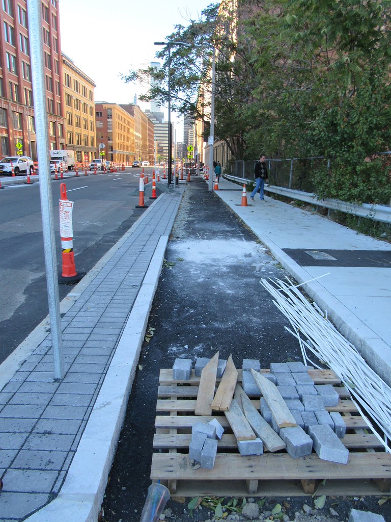
so what are the termini going to be of this thing? is it going to actually connect to something safe downtown, or just peter out at the bridge?
 
so what are the termini going to be of this thing? is it going to actually connect to something safe downtown, or just peter out at the bridge?

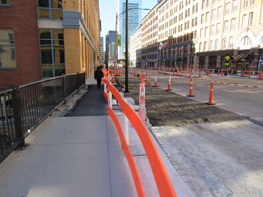
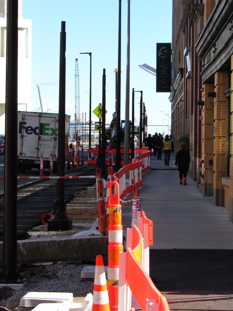
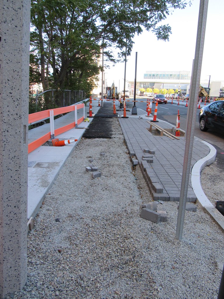
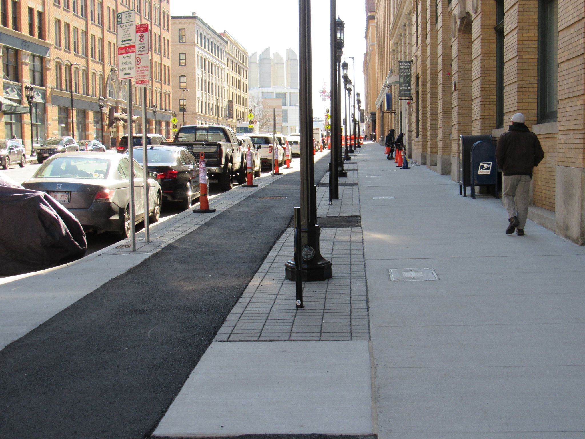
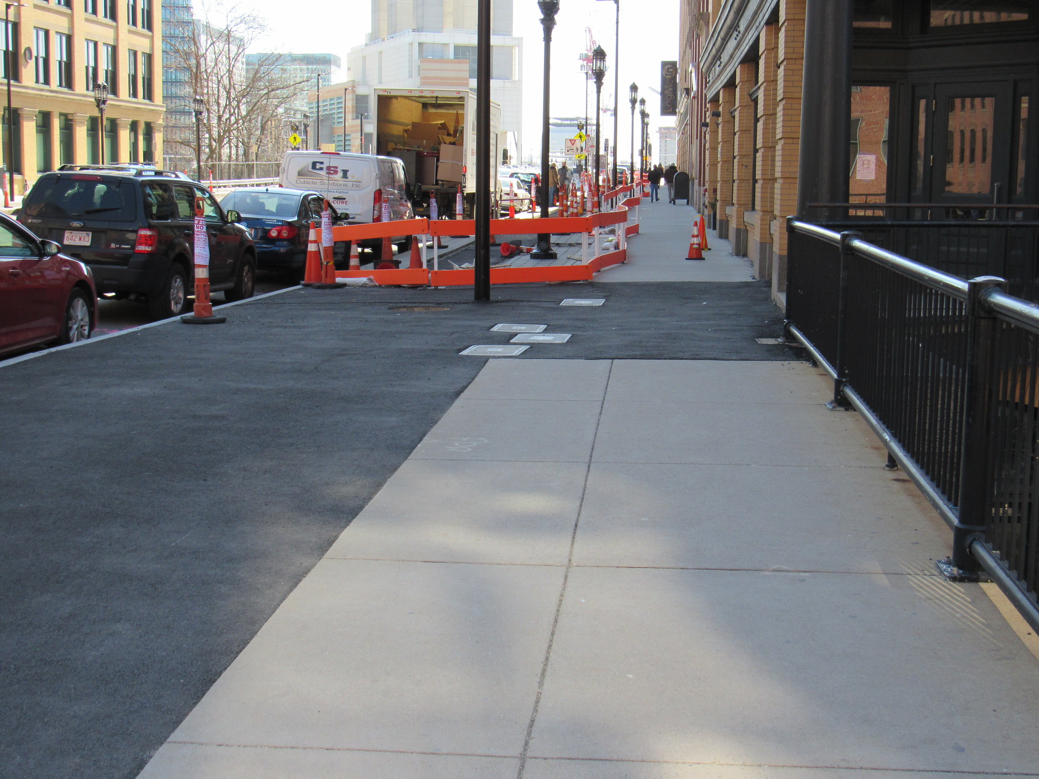
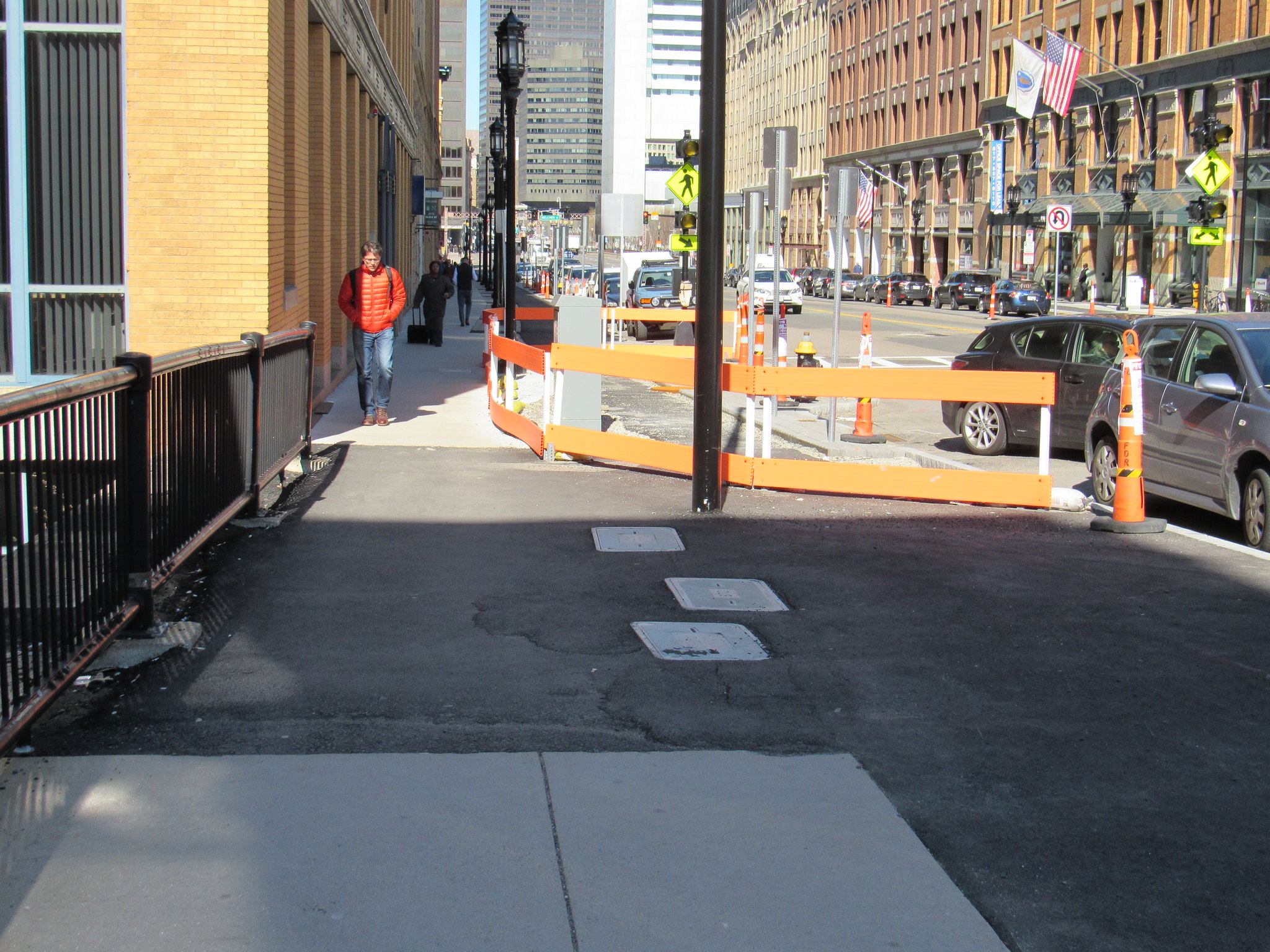
It stops at the bridge right now. There's an ersatz bike lane on the bridge over the channel (just a really wide shoulder).

At the other end, it just stops where the street goes over the service road.
 
Thanks. I figured... the Boston proper side will need connectivity work then. I’m very glad to see this, but in general I wish Boston could actually decide on a handful of specific, long range routes to attack piece by piece. Basically, most work we have seen up to this point is just putting in protected lanes, tracks etc wherever there’s room, without much regard to whether such a route that might be great for a cycle track for three blocks will ever be a realisticonger range cycle track route. Summer St is a poor example since I would think it could be a good longer range route to add onto... but I just haven’t seen the city produce a real plan of the main bike routes it would like to see by, eg, 2022. That is something we need very much.
 
Totally agree with FK4. A bike route is generally only as good as its weakest link. And right now, the protected lanes and striped bike lanes don't really connect to each other in key places. Transitioning from protected lane to sharrow as is often the case really suppresses the potential bike ridership, as there are quite a few people who simply will not bike in a shared lane on a major street.
 
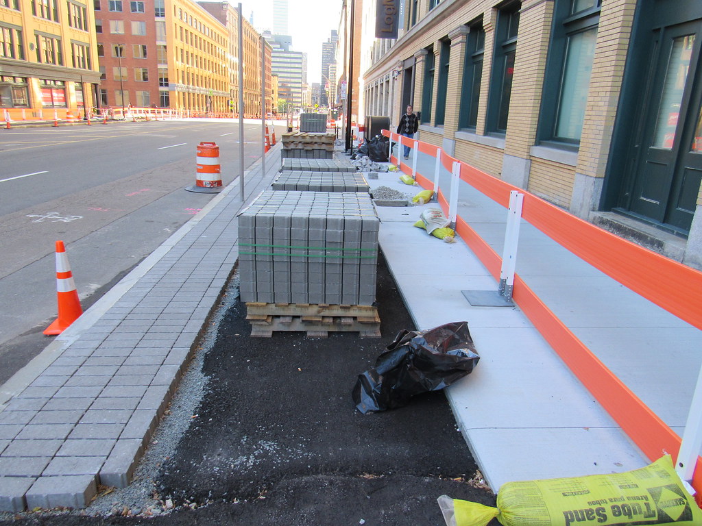
They should probably put a Blue Bikes station up here where they redesigned.
 
Totally agree with FK4. A bike route is generally only as good as its weakest link. And right now, the protected lanes and striped bike lanes don't really connect to each other in key places. Transitioning from protected lane to sharrow as is often the case really suppresses the potential bike ridership, as there are quite a few people who simply will not bike in a shared lane on a major street.

I'll slightly disagree with you here. A bike route is only as good as its weakest link for novice cyclists or anyone who will not use a shared lane.

For those of us who are cycling already, the quality of a bike route is sort of the average of each of its segments. If you add protected bike lane to 20% of a ride I was already taking, my ride has improved. Every little bit of bike infrastructure added makes me a little safer, so I'll take it piecemeal today rather than wait (and wait, and wait, and wait) for them to do it perfectly all at once. I think every single road construction project should leave the affected area safer for pedestrians and cyclists than it was before. That is evolution instead of revolution.
 
Thanks. I figured... the Boston proper side will need connectivity work then. I’m very glad to see this, but in general I wish Boston could actually decide on a handful of specific, long range routes to attack piece by piece. Basically, most work we have seen up to this point is just putting in protected lanes, tracks etc wherever there’s room, without much regard to whether such a route that might be great for a cycle track for three blocks will ever be a realisticonger range cycle track route. Summer St is a poor example since I would think it could be a good longer range route to add onto... but I just haven’t seen the city produce a real plan of the main bike routes it would like to see by, eg, 2022. That is something we need very much.

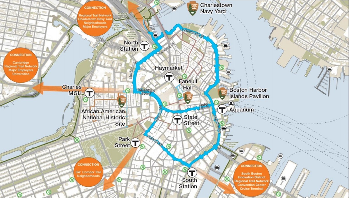
Well, it was meant to connect to the full Connect Historic Boston trail but I'm not holding my breath for the city actually finishing the other two-thirds of the figure eight.

BikeTrails.jpg


Seaport Square and the Omni Hotel should add more to the track southward. At the other end of Summer, the Edison Plant project should have a track that connects to the linear park on 1 St, and then maybe we'll get a cycle track down Farragut to Day Blvd, and then we just need the Morrissey rebuild to connect to the Neponset Trail. So you know, a decade?
 
I'll slightly disagree with you here. A bike route is only as good as its weakest link for novice cyclists or anyone who will not use a shared lane.

For those of us who are cycling already, the quality of a bike route is sort of the average of each of its segments. If you add protected bike lane to 20% of a ride I was already taking, my ride has improved. Every little bit of bike infrastructure added makes me a little safer, so I'll take it piecemeal today rather than wait (and wait, and wait, and wait) for them to do it perfectly all at once. I think every single road construction project should leave the affected area safer for pedestrians and cyclists than it was before. That is evolution instead of revolution.

I echo this sentiment. A lot of people are too focused on the overall picture, while ignoring the incremental tweaks here and there that have an immediate impact.

Unless a facility is unsafe, biking advocates should support any investment in biking that is proposed, whether it's high or low priority in the grand scheme of things. I've seen so many projects lose steam because advocates feel that the facility "doesn't connect to anything", "should be sidewalk level", or "we should be focusing on some other street that's more important." While critiquing a design and pushing for a better facility than what is proposed is definitely warranted, you really need to appreciate the effort that goes into these projects and understand the realities. The people against bikes grab on to the negativity and use it to kill projects. "The cyclists don't even want it!" Just because shared lane markings or a door zone bike lane are put in, it doesn't mean they aren't planning something better in the future. It's not check it off: done!

The Commercial St cycle track "doesn't connect to anything", but remember that we aren't building these things just for commuters, we're building them for everyone. There are now children than can safely ride their bikes down the cycle track in the North End to the park or school. While the overall network is important, there are also small things that can be done that still have a big impact.

I'm not saying forget the long term plan, but we need to seriously consider the short term. In a government setting, the short term is always fluid. We should take as much as we can from it.
 
What are the prospects for infill between this and white building? There is some sort of electrical equipment in between...
 

Back
Top