Green Line Extension to Medford & Union Sq

At the Tufts/MBTA presentation tonight, they showed that the pedestrian bridge would land slightly behind and downhill from all current buildings on the Tufts Hilltop. If you live in Somerville or Medford, do call or write your Mayor/council in support of the project. Too many cranks could not see the virtues of TOD, but happily the immediate neighbors are thrilled at Thr thought of Tufts providing paths, security, and snow clearing (far better tha relying on Medford or the T)
 
That's probably the new storm drain line they're putting in, which IIRC connects over to what I think is a pumphouse where the bridge goes under I-93. Drainage in the area southeast of Prospect Hill has been a mess ever since the Fitchburg Railroad filled in part of the Miller's River in 1840-mumble, and they're fixing it as part of the GLX project.
 
Please write a personal email to the Boston MPO in support of their having budgeted $158m to further extend the Green Line to Route 16. This is fairly politically daring, as that money represents 17% of a "Highway" funds account. Full details of the 2016 - 2020 plan.

Submit an email comment to: publicinformation@ctps.org
The deadline for comments is July 24, so write today.

Suggested text is roughly:

Boston Region Metropolitan Planning Organization (MPO)
c/o Central Transportation Planning Staff (CTPS)
State Transportation Building
10 Park Plaza, Suite 2150
Boston, MA 02116-3968

Dear Boston Region MPO:

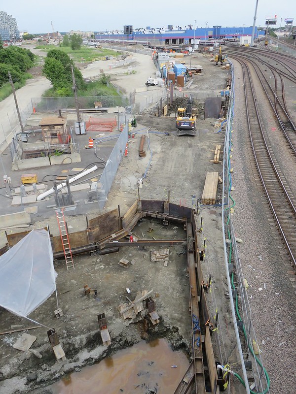
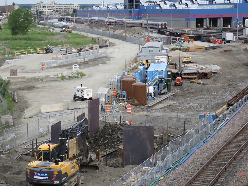
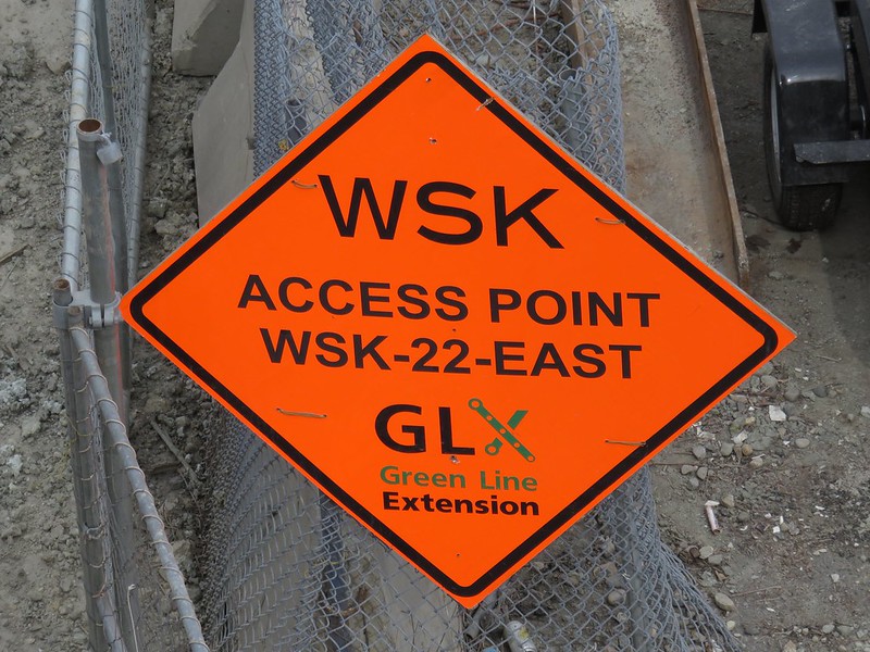
I am writing to comment on the Draft Transportation Improvement Program and Air Quality Conformity Determination: Federal Fiscal Years 2016-20. I strongly support extending the Green Line all the way to Route 16, so I am grateful to see that the Boston Region MPO has continued to program funding for Green Line Extension Project (Phase II), Medford Hillside (College Avenue) to Mystic Valley Parkway/Route 16.

The Route 16 Station will serve Medford Hillside, West Medford, West Somerville, and East Arlington. The Route 16 Station will provide thousands of residents with better access to jobs, to education, and to health care. Thank you for your continued support. You certainly have mine.
 
In more disheartening news, after insisting for quite a while they were still on track for starting service by the end of 2017, the Draft TIP looks to have finally admitted that the project has slipped again to 2018.

The projected completion date for Phase 2/2A initial Green Line service is likely mid-2018.

Last I heard Phase 2 (not to be confused with Phase 2A) still hadn't gotten the NTP.
 
In more disheartening news, after insisting for quite a while they were still on track for starting service by the end of 2017, the Draft TIP looks to have finally admitted that the project has slipped again to 2018.
You might be right, but I wouldn't read too much into the TIP: as a budget document they plan to still be cutting checks after the start of service.

Completion Date is usually some time after the start of service. Assembly opened in Sept 2014, and was obviously still being worked on through December, and officially is still listed as being in "Construction" phase as of May 2015...stuff like perimeter landscaping, trees, access roads, final surface finishes, etc can happen after it opens. See also the number of T projects that we think of as "done" (operational) that are still listed as "construction"

On a project the size of the GLX, I'd expect a significant tail of construction after opening. You may simply be seeing that. For opening dates, I'd still rather see it from a construction schedule document.
 
I reckon the reason Assembly is still listed as being under construction would have to do with the entrance closer to the Partner's building?
 
^ Sure, but that'd be a good example of the kind of long tail of construction after opening.

Also note that as a budget document, the TIP works on Fiscal Year. Fiscal 2018 starts July 1 2017. With Phase 2/2A pegged for "End of 2017" that's already deep into Fiscal 2018, so they'd definitely have a big bubble of money being spent in FY2018 to get it open in Calendar Year 2017.
 
Incidentally, I note that GMP-4 (The "real" 2/2A...stations and tracks) includes an interlocking all the way out at Tufts, which implies that they'll be laying track all the way out to College Ave as many as 3 years before the stations get built. Does this kind of imply that they're going to be using the tail tracks for storage (or could?). That's an awful lot of capital equipment to let lie on the ground for 3 years.

(Advocacy: Please send your comment email in support of GLX all the way to MVP and the CPX today!)
 
I suspect that might be on the Lowell Line? Right now there are no interlockings between Somerville Junction and Winchester, so a Tufts interlocking might be helpful.
 
I suspect that might be on the Lowell Line? Right now there are no interlockings between Somerville Junction and Winchester, so a Tufts interlocking might be helpful.
Especially for whenever the Lowell has to be operated single-track at various stages of GLX station construction between Gilman and College Ave (Phase 4 stations) I'll ask the which-line-gets-that-interlocking question in RR.net's "GLX Impact on Lowell Line" thread.
 
It is way too close to Somerville Jct to be terrible useful, though. Unless they plan on nixing Somerville Jct in favor of Tufts and maybe Prospect Hill/Cobble Hill interlockings. An interlocking would be especially useful at Washington Ave with the possible Yard 10 reactivation.
 
Thanks to all who wrote the MPO (you all wrote them, didn't you? ;-) )

The MPO has "programmed" the Green Line to go all the way to Route 16/MVP, using discretionary federal dollars

The facebook page call it all "Federal Funds," but folks should be clear that the 1.4b for GLX to College Ave and Union Square is coming as a "real" Federal Transit Administration Full Funding Grant Agreement, but, by contrast, going to Route 16/MVP is $126m from other federal funds that local MPOs can allocate (listed in the above-linked docs as CMAQ (the same fund that Maine uses to fund the Downeaster) and the STP (Surface Transportation Program))to pay for what had been slotted in the TIP database as a $190m project.

For those in the know, how "real" does this make the GLX to Route 16? It obviously is better than being left out of the MPO's programs but does it mean it will actually advance? If the money is there, can it get done by 2020? Does allocating $126m of fed $ (and $32m local) mean the price has "come down" to $158 since it was estimated in the TIP database at $190m? (I can imagine that they either snuck some costs into the College Ave terminus funding, or that they've saved $32m by not having to take 196 and/or 200 Boston Ave)

When we last left the GLX to Route 16/MVP in June 2010, it was at 30% design, and they'd figured out how to gently arc the tracks so as both to support a center platform (which ended up wedge-shaped) and at the same time to not have to take Tuft's Cummings-managed office/biotech buildings at 196 and 200 Boston Ave (but it still assumed taking the U-Haul site).
 
Last edited:
Do we currently have any idea what the expected run times will be from the new stations to Park/GC?

I was just reading through a Somerville by Design document for Gilman Square, and on page 18 there is a map showing a 28 minute run time to Park Street. That seems very very long for 8 stops over 3.2 miles. I was expecting something more like 15 minutes.

A couple comparisons from personal experience:
Forest Hills to Mass Ave : 3.3 miles, 7 stops, 12 minutes
Riverside to Newton Center: 3.75 miles, 6 stops, 12 minutes
Davis to Kendall: 3.5 miles, 5 stops, 15 minutes
 
I always assume trips (mostly Red) at 3 to 4 minutes per stop (with 4 a good guess at the peak of rush hour) so I'd have said 8 stops should take 24 to 32 minutes and the estimate of 28 minutes is exactly 3.5 x 8--seems a reasonable guess, close enough that we don't even have to define how to count the first or last stop (since + or - a stop is the same +/- error of 3 to 4 minutes)

In general, I think they are assuming more "heavy rail" style: dwells on 3 or 4 cars (and getting doors all closed), and not much owing to station spacing
 
Hmm, Google's expected trip time currently for Gilman Sq -> Park via 80/GL is 28 minutes, operating every 20 minutes.

Though I suspect that's slower in fact, with the traffic and the transfer.
 
I was just reading through a Somerville by Design document for Gilman Square, and on page 18 there is a map showing a 28 minute run time to Park Street. That seems very very long for 8 stops over 3.2 miles. I was expecting something more like 15 minutes.

I thought the official (although, not actual) run time from Lechmere to Park Street is 9 minutes. That would put the run time from Gilman Square (assume a generous 1 minute stop at Lechmere) to Lechmere at an unreasonable 18 minutes over ~1.6 miles and 2 stops.
 
Do we currently have any idea what the expected run times will be from the new stations to Park/GC?

I was just reading through a Somerville by Design document for Gilman Square, and on page 18 there is a map showing a 28 minute run time to Park Street. That seems very very long for 8 stops over 3.2 miles. I was expecting something more like 15 minutes.
I think the picture in the document you linked is mislabled. It would make sense had it been titled "Commute Time" I suspect that the totals they show are commute times (which probably include both the walk time and the wait time at the station).

Here we see an earlier discussion (on Page 7) of travel time
[PB Engineer] said that it takes 12 minutes to get from Park Street to Lechmere. From Lechmere to Route 16, he estimates 12 minutes (10 minutes if trains are running at 50 mph). From Lechmere to Union Square is estimated to take 4-6 minutes, depending upon traffic signals.

and Here we get an estimate of 30 minutes from MVP to Park St. (Page 8)

So Park to MVP has been estimated at 22 to 24 to 30 minutes (I bet the 30 includes wait time at origin)

So I'll go back to the Somervision doc and say that 26 minutes to Park from Gilman was something like home-to-station-arrival or platform-wait-to-station-arrival.
 
Last edited:
There were many, many simulations done of travel times. But the ones that did bundle in walk + wait were featured prominently in all the neighborhood station workshops that were held, because those were the most relevant figures for the station design and surrounding-area ped access itineraries at those meetings. So an online search is going to tilt pretty heavy to meeting PowerPoints that cite that stuff (as Arlington notes, no, they weren't very consistent over the span of ~3 years worth of meetings on what terminology they were using to cite it).

Raw train schedule run times are in there somewhere, and to my knowledge there's been no changes with that because the track infrastructure part of the engineering has been more or less set for a few years now. Just parse the description carefully because clearly it's a little bit non-obvious what metrics they're using with what travel time citation.
 
Does anyone know when the Brickbottom/Washington Ave station got renamed to East Somerville? Also if the station names have been finalized?
 

Back
Top