Green Line Extension to Medford & Union Sq

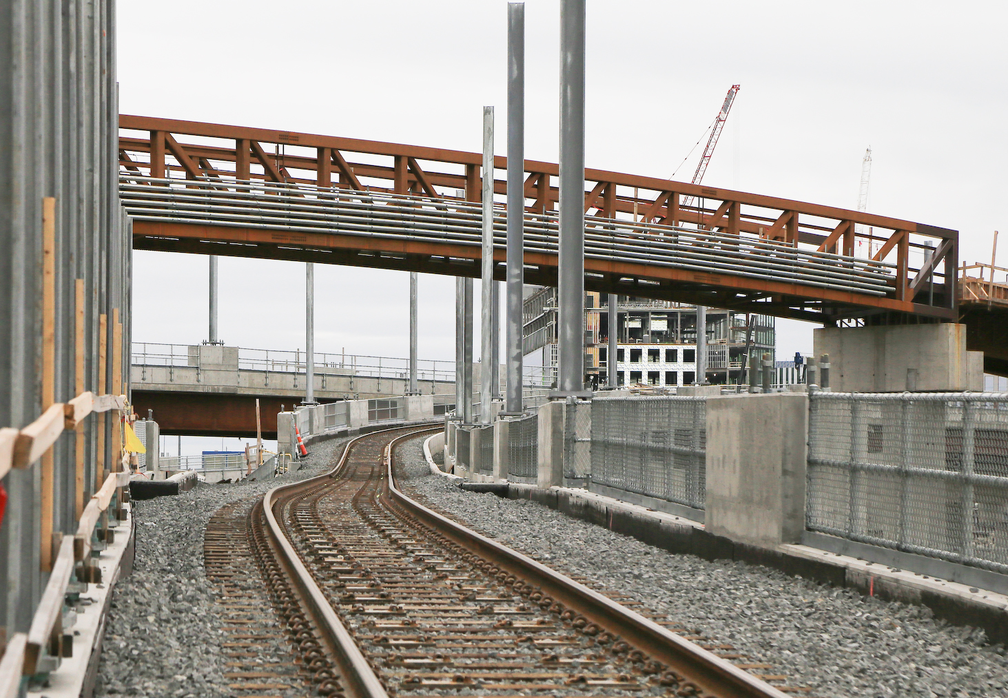
The bike path is going to run at street level and cross Central, Sycamore, School, Medford and Walnut Streets at grade, because otherwise they'd have to widen the cut even further and rebuild four more bridges. East of Walnut St the ROW widens enough that it can run alongside the tracks and under the bridges.

Sorry if this has been discussed before, but are there any plans for traffic calming at any of these at-grade crossings? Central Street in particular concerns me, as cars travel at speed downhill in both directions. And it basically becomes a lake during rainstorms at the point of the path junction. Would they consider a raised intersection here, or would that piss off the thru-traffickers there? In my anecdotal experience, flashing signs and bollards are very ineffective at any of the ped crossings between Vernon and Willoughby.
 
Somerville is pretty reluctant to do speed tables. Chicanes and speed humps are more it’s style.
 
Given that that area is strictly industrial, (and about to be more so with the VMF) how many people actually walk through those "hamster tubes" regularly?

Also, what exactly are they classified as? Tunnels? A bridge?

I walked from sullivan square station to that office at the end of innerbelt road many times.

I think I would consider those to be culverts - they're just not for water in this instance.
 
The T has done quick-swap replacements (e.g. the Fitchburg Line over Route 62 in Concord). If they can build the abutments during a series of shorter track outages, they might be able to do a single long weekend to slid in the new bridge. Emergency access could come through the Met Pipe parking lot.
I could see that accelerated bridge program-style construction taking a lot longer with the hamster tubes in/out of the Inner Belt area.
 
I could see that accelerated bridge program-style construction taking a lot longer with the hamster tubes in/out of the Inner Belt area.
I agree. This is not just a bridge deck replacement, it's a whole new bridge requiring major excavation/removal of the railroad embankment, constructing footings and abutments, etc. They would have to set up a railroad detour during construction. Would it be possible to use the single track that runs along the south side of New Washington Street as a temporary rail detour? In any case, I think replacing the hamster tubes with a real bridge is worth it. This is an up and coming area due to GLX, and future development (even if its in the distant future) will be more pedestrian oriented. Also the existing businesses should be pedestrian accessible.

The only way around a detour is if they could possibly build the new bridge one track at a time, leaving the other track active during construction, then shifting the train traffic onto the new bridge when completed, and then building the other half pf the bridge.
 
I don’t think the Washington Street lead is a possibility. It connects to the wrong track, and would require a backup move to get on or off the track.

The collection of six bridges that the T is working on now might be more analogous to the Inner Belt. They’re using a variety of techniques to minimize outages.

I look forward to F-Line’s correction of all our assumptions about this.
 
I've actually wondered as I wandered through if this would be a good spot for flood gates. The raised railway bed seems like a decent defense-in-depth point to split the neighborhood into two sections. I'm not sure which scenario is more likely - water coming up washington from the mystic, or coming up from the Charles along Millers River, so I'm not actually sure which side would be being protected here!
 
Sorry if this has been discussed before, but are there any plans for traffic calming at any of these at-grade crossings? Central Street in particular concerns me, as cars travel at speed downhill in both directions. And it basically becomes a lake during rainstorms at the point of the path junction. Would they consider a raised intersection here, or would that piss off the thru-traffickers there? In my anecdotal experience, flashing signs and bollards are very ineffective at any of the ped crossings between Vernon and Willoughby.
The existing grade crossings, at Willow and Cedar, appear to work OK; there's a raised table and cars are good about stopping. The thing that concerns me, as I've mentioned before, is the massive increase in bike traffic that the existing path is going to see once the extension is completed. Among other things, it's going to make the lack of a safe west-to-east route through Davis Square even more of a problem.
 
Last edited:
I've actually wondered as I wandered through if this would be a good spot for flood gates. The raised railway bed seems like a decent defense-in-depth point to split the neighborhood into two sections. I'm not sure which scenario is more likely - water coming up washington from the mystic, or coming up from the Charles along Millers River, so I'm not actually sure which side would be being protected here!
They did a ton of flood control and hydrology work in this area as part of the GLX; flooding had been a problem ever since they built the Fitchburg Railroad right through the Miller's River. So in theory it shouldn't be an issue for a long time.
 
For Inner Belt tunnel replacement (and getting pedestrians through embankments in general $ Take a look at tunnel jacking.

Ramming a new concrete box tunnel through the embankment.

On the Innner Belt, I’d Picture jacking a taller, wider box tube around each of the existing tubes


I'm sure it's easily doable with something like that. It's just...for all their obnoxious neediness...it's ironic that the Brickbottomites have never given a flying eff about the obvious dangerousness of the hamster tubes while putting on their "LOOK AT ME!" act with every other issue. Nobody's done any advocating for it. I mean...do residents at Cobble Hill Apartments not take walks spanning more than 1 block away? Do workers at the businesses south of the tubes not go on lunch break? That level silence in spite of many constituencies having ample ammo to loudly gripe about the safety conditions there.
 
I'm sure it's easily doable with something like that. It's just...for all their obnoxious neediness...it's ironic that the Brickbottomites have never given a flying eff about the obvious dangerousness of the hamster tubes while putting on their "LOOK AT ME!" act with every other issue. Nobody's done any advocating for it. I mean...do residents at Cobble Hill Apartments not take walks spanning more than 1 block away? Do workers at the businesses south of the tubes not go on lunch break? That level silence in spite of many constituencies having ample ammo to loudly gripe about the safety conditions there.
I think workers there wouldn't mind safer conditions to walk in - but i bet the business owners want to keep the development pressures far away.
 
Looking inbound from the current end of the Somerville Community Path, it's easier than ever to see the direction of things to come.
PXL_20210520_233905762.jpg
 
The sight of those wires inspired me:
1) we probably need a predictions thread (NOT this thread) and an organized way of claiming dates to predict the day
1st test train between Sci Park & Lechmere
1st test train visits USq
1st test train at E Somerville
1st test train at Tufts


2) How will those first test trains arrive?
a) migrate from Science Park?
b) trucked to the Vehicle Maintenance facility?
c) Other
 
Last edited:
FWIW...testing of the 2004 North Station Under alignment began before the track connection at Haymarket was ever operable. They trucked in a single Boeing LRV from Riverside to Lechmere, puttered it around for several weeks by its lonesome, and often parked it off-shift on the fenced-off NS platform where you could easily see it from the Orange side.

Something like that might be in the cards for here, since they'll be working on structural refinishing of the concrete Viaduct for some time and not every single power section may be online before they're ready to start testing the substantial most of them.
 

Back
Top