lainpimicaja
Active Member
- Joined
- Jun 28, 2021
- Messages
- 175
- Reaction score
- 675
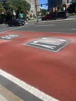
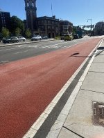
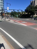
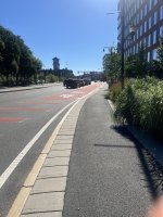
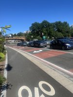
Does anyone have any insight into why enforcement of those pseudo-lanes is so terrible?
And whose job is it, anyway? BTD or BPD?
The general answer is that it depends on the roadway jurisdiction, whether that is municipal (Boston or Cambridge or Brookline, etc.) or state agency (DCR parkway, MassDOT highway, etc.). Even among municipalities, the enforcement entity can vary depending on the situation (in Boston, if it's a standing violation in an area with BTD Parking enforcement agents monitor, BTD Parking could ticket; if it's a moving violation, it largely falls to BPD). To make things even more complicated, MGL outlines prescriptive conditions for how parking violations can be carried out in specifically Cambridge and Boston (which is why cities like Somerville are trying out camera-based enforcement but Cambridge and Boston are not). To make things even more complicated (because why not!), MBTA Transit Police have a very broad jurisdiction across the service area. Depending on the route or the corridor (thinking of corridors like the 66 that cross through three municipalities, state roadways, etc.), there could be between one and several jurisdictional entities that are responsible for enforcement.
TLDR - it's complicated because of how we organize jurisdictional boundaries at a local level and define police powers at a state level. And based on how other systems have rolled out camera-based enforcement and have seen measurable successes, the best solution would be a state law that makes it easy to administer a similar program for everything from bus lane enforcement, red light cameras, bus stop blockage, etc. on a regional or state level.