I wanted to come back to this thread with a discussion of the Copenhagen Metro and why I think it's extremely relevant to an urban ring service.
Overview
The Copenhagen Metro is a relatively small system. It has 4 lines, with 2 radial lines, 1 loop line, and 1 radial line that runs along part of the loop. (There is also the S-Train network which is cool but I'm going to skip over that for right now.)
View attachment 49609
The network features a combination of underground, elevated, and at-grade stations, although the majority of the system is underground.
The Trains
This is where it starts to get interesting. The Metro uses the Hitachi Rail Italy Driverless Metro system, which means the trains are small, only 128ft long. (For reference, Red Line trains are around 420ft long.) And yet, the M3 of the Copenhagen metro can carry more passengers daily than the Red Line did in 2019. It does this through very high frequencies. M3 and M4 trains come every 2-3 minutes, and so headways on the combined section can be as low as 80-90 seconds during peak times.
View attachment 49610
The Stations
When you use the metro one of the first things you notice is that all the (underground) stations are very similar. They are (almost) all built in a 20m by 60m box, which makes the construction process fairly straightforward. Anywhere you can dig a 20x60m hole you can build a station, which means that you can easily site a station under just about any moderately wide street. They have no fare gates, operating on a proof-of-payment system, and are about as simple as you could build them.
View attachment 49611
The Money
The Copenhagen Metro is fundamentally tied to real-estate development. M1 and M2 stimulated huge new developments on the island of Amager, while the dirt excavated from the M3 tunnels was used to make new land in the harbor to be built upon and developed. M4 is designed to connect these new areas in the north as well as more areas currently under redevelopment in the south. Proceeds from land sales and development is how these projects have been funded.
Why is this relevant?
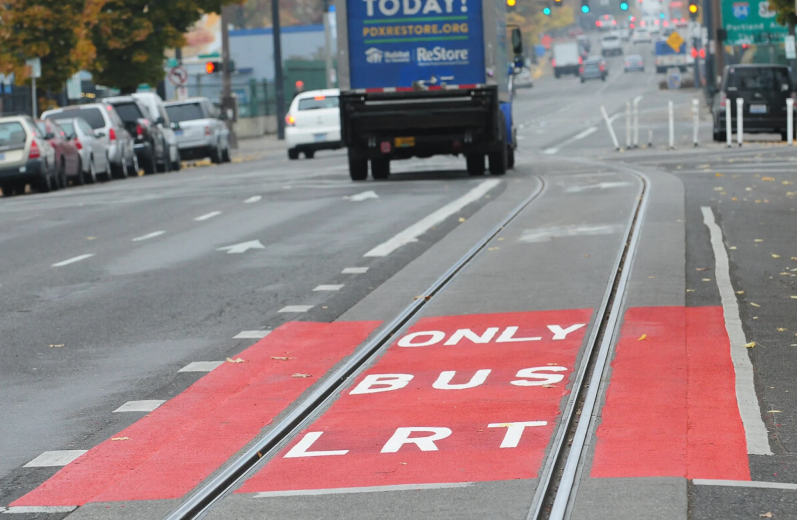
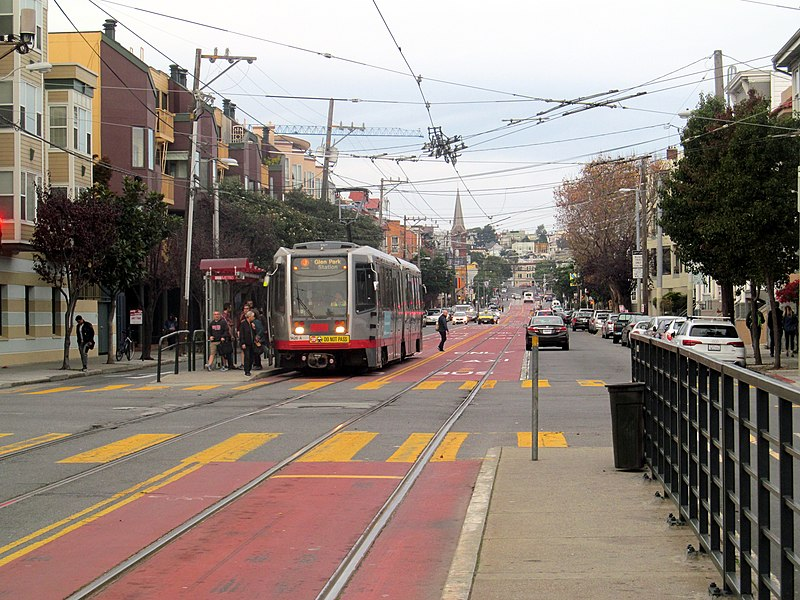
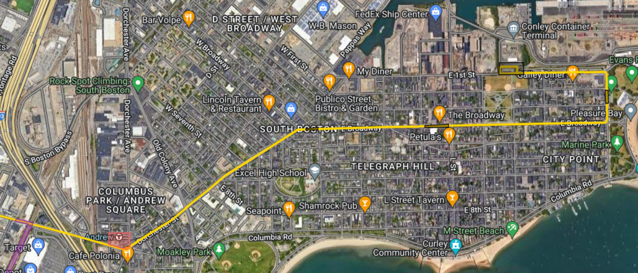
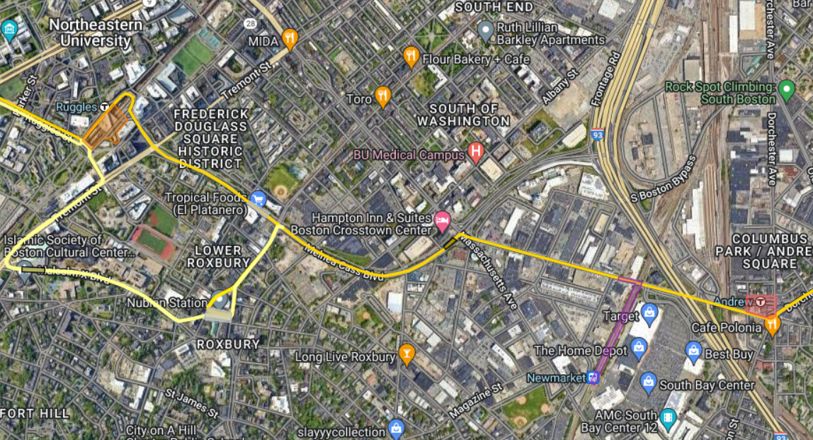
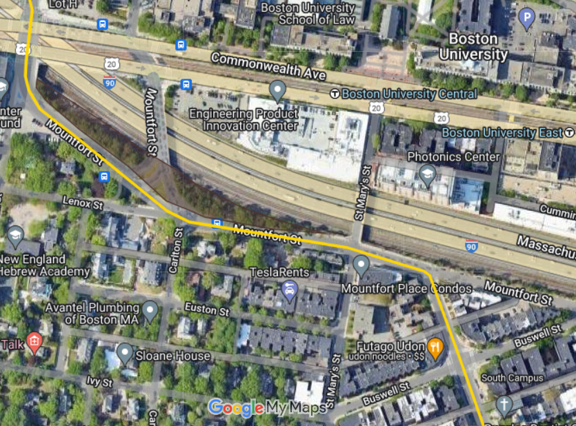
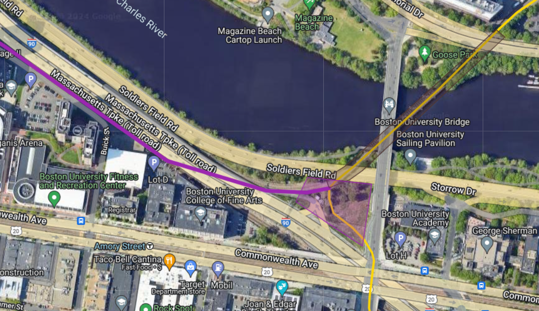
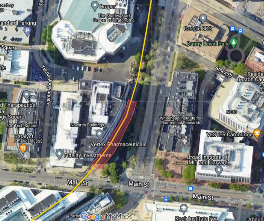
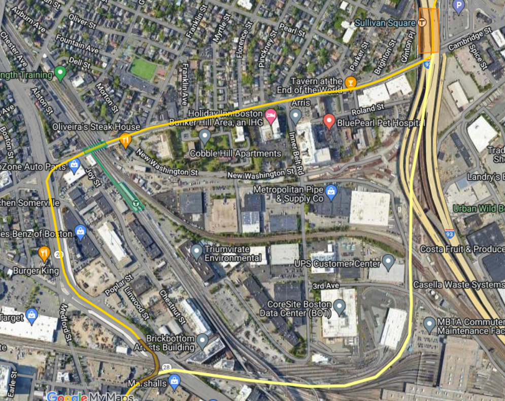
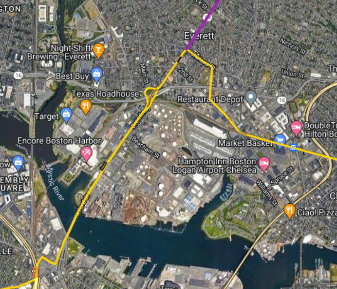
So why is this related to the Urban Ring? The urban ring is a service designed to make connections with other lines, and be used for many short journeys rather than a few end-to-end journeys. This high turnover rate and high number of journeys involve a connection mean that a system with smaller trains is not a problem, since there is not one busy section where the trains fill up and slowly empty out, and the high frequencies make connections shorter by reducing the amount of time spent waiting. The small stations in a 20x60m hole design makes stations easier as they can be sited under small, relatively narrow strips of land like on the SW corridor next to Ruggles, at Bellingham Sq in Chelsea, or under the Oscar Tugo Circle at LMA. and the funding model is also extremely relevant, as a design like the one I sketched up previously links a huge number of areas with massive sites awaiting development. Wonderland, Bell Circle, the Everett Hellscape™, Sullivan, Community College, the Inner Belt, Lower Allston/West Station, Widett Circle, and Andrew are all stations adjacent to huge sites that are either actively being redeveloped or are open to redevelopment that could be used to (At least partially) fund the project.
View attachment 49614
So how much complexity could the "Small station box" eliminate? Of the stations on my fantasy diagram, only the following could likely not be built using the station box method:
- MassArt/Wentworth if the extended Huntington Ave subway is built first
- Harvard
- Union Sq
- At-grade would likely be preferred for Community College, Sullivan, and Assembly
- Charlestown, Admirals Hill (Elevated as part of a Tobin Bridge replacement)
- Cheslea Creek, a stacked design would likely be required here
All the other stations are located on streets or adjacent to open spaces where a 20x60m space could be excavated.