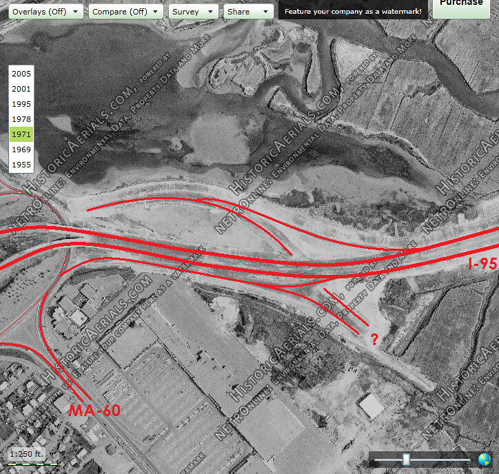
The problem with building an I-95 of 8 lanes is: where does the traffic go when it arrives at the Boston core? Answer: nowhere. It would've just been one giant gridlock in central Boston if the proposed NE, NW, and SW expressways had been built without the Inner Belt to distribute the traffic. So, when the Inner Belt through Cambridge was cancelled, the proposed radial expressways had to likewise be cancelled. The answer isn't to build more expressways, the answer is new transit extensions in tandem with transit oriented zoning and development.
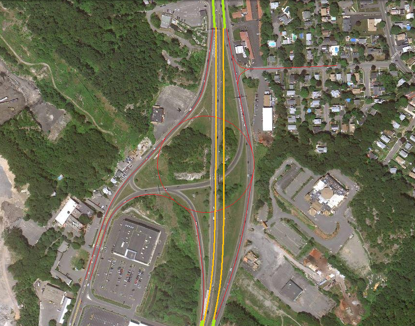
I'm not against transit (see the beginning of my post), and yes, transit needs upgrades, but the sad fact is that we don't have enough road capacity to handle the cars on the road now, let alone future growth in auto use, and the "spoke" roads (US Route 1, I-93, Mass Pike, and the SE Expressway) won't function well in any case. Route 1 needs more capacity between the Tobin Bridge and Cutler Circle, but unless the Tobin Bridge gets upgraded or replaced, it won't get it. As I pointed out, joint development of both road and transit projects in the same footprint offers the users true choices, and maximizes the use of expensive land in dense urban centers, both good things, IMHO. There were plans to place a transit line in the median strip of Route 128 that have gone exactly nowhere since the 1948 Metropolitan Transportation Master Plan first proposed it. The problem for me, and millions of others is that the "hub and spoke" transit model fundamentally fails suburban tech workers, who must drive, since we worked between the 128 and I-495 beltways, where public transit is non-existent. Completion of the cancelled roads would at least redistribute the flow and reduce failing Levels of Service (LOS) periods, a.k.a. "rush hours". Extending ALL of the MBTA lines to terminate either at 128 or I-495 would help, but until you give suburban "beltway bandits" more options than a car, the beltways will continue to clog up with more cars.
Just as an aside, the big debate over the Inner Belt may have been sealed when Jim Callahan (head of the Turnpike Authority) fought with Governor Foster Furcolo about the location of the MA Turnpike Extension. Furcolo wanted the Extension to terminate at the Inner Belt, but Callahan wanted the Extension to continue on to the Central Artery. Spoiler Alert: Callahan won. Source: Building the Mass Turnpike, by Yanni Tsipsis, from the "Images of America" book series, by the Arcadia Press. Here's a link:
Building the Mass Pike (Images of America) [Tsipis, Yanni K.] on Amazon.com. *FREE* shipping on qualifying offers. Building the Mass Pike (Images of America)
www.amazon.com
With the extension of the Pike all of the way to the Central Artery, and later to Logan Airport via the Ted Williams Tunnel, the need for the Inner Belt became less clear, although finishing it would have removed a great deal of the volume from the Central Artery, so the need for the Big Dig may have been less urgent. There's always a trade off. At the very least, if the Inner Belt had been built, the Central Artery could have been closed and demolished during the construction of the Big Dig, greatly reducing the cost, since the Inner Belt would have provided a fine alternate route.
BTW, I always take forecasts of gridlock with a grain of salt ever since Frank Sargent refused to open the newly completed I-93 extension in 1973 because of predictions of gridlock at the Route 1/I-93 merge. He had no choice, however, when an overloaded dump truck, named "George's Tonka Toy", smashed into a support column on the Tobin Bridge, causing the upper deck of the Tobin Bridge to collapse, and closing the Tobin for six (6) months. With no highway access from the North Shore into Boston, "Sarge" had no choice but to open the newly built I-93 extension. When the Tobin was repaired and reopened, the predicted "gridlock" failed to materialize.