Ron Newman
Senior Member
- Joined
- May 30, 2006
- Messages
- 8,395
- Reaction score
- 13
Gillette is very dependent on the channel for cooling -- they would never have allowed this proposal to advance.
^ If someone were proposing that today, I'd be fucking pissed. It certainly ain't pretty now (well, the part near the PO Annex and Gillette aren't anyway. But there is just so much potential to be had there. It would be an outrage to think of losing the channel nowadays.
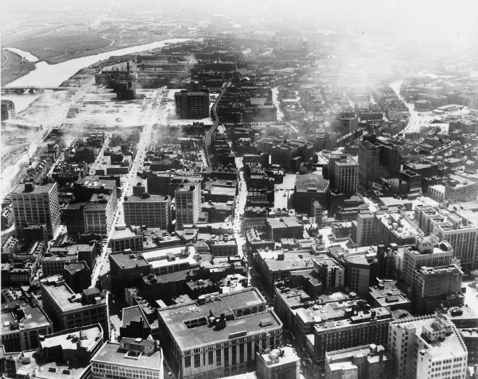

^ If someone were proposing that today, I'd be fucking pissed. It certainly ain't pretty now (well, the part near the PO Annex and Gillette aren't anyway. But there is just so much potential to be had there. It would be an outrage to think of losing the channel nowadays.
Hmmmm, so Judge Breyer said in the article about the Moakley Courthouse that he wanted a building that could "take it's place along with Trinity Church and the Boston Public Library." So, what the hell happened?


