Where am I? The photo contest

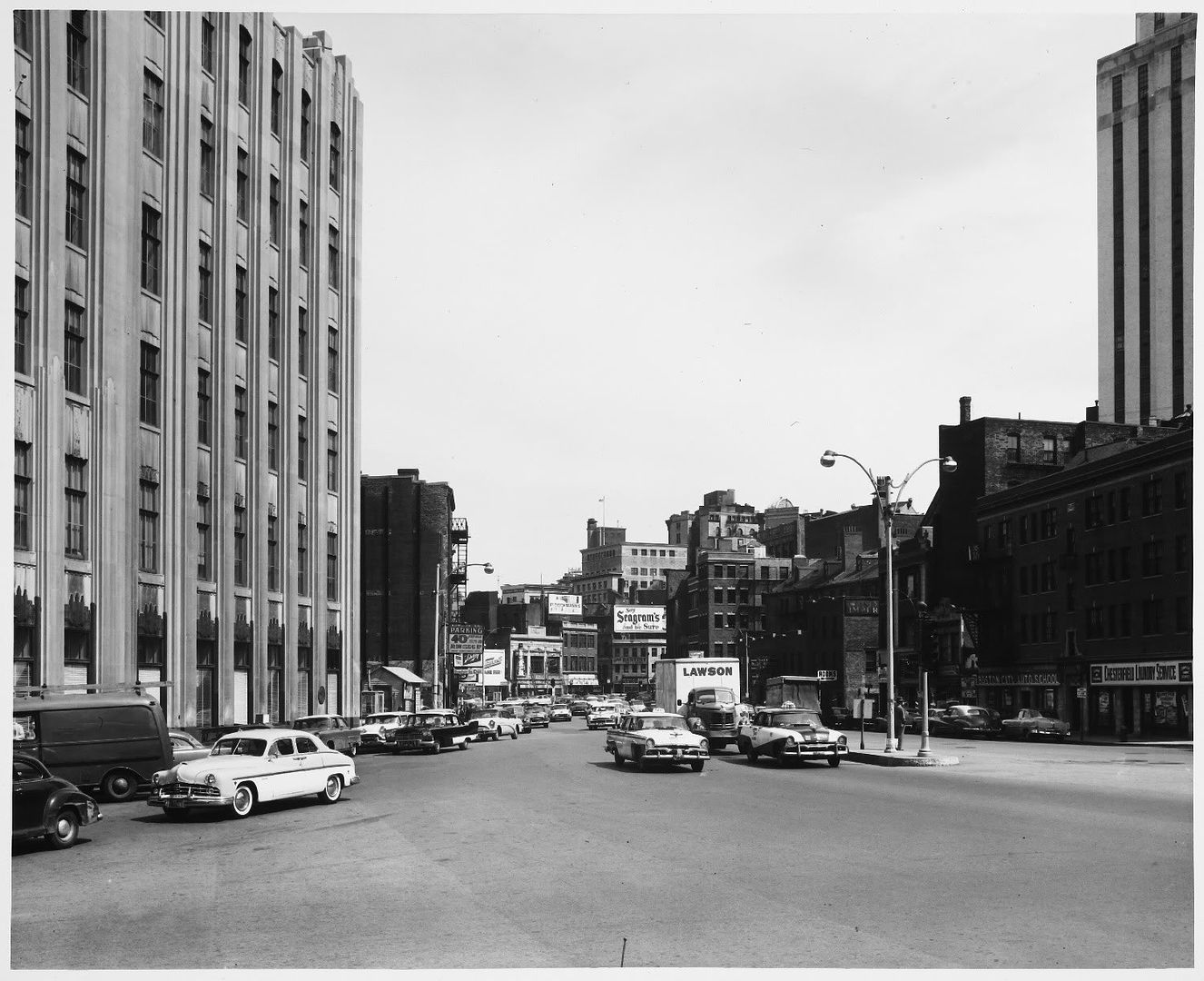
Then and Now, Part 1 of 7.

Again, please check out the original photos on flickr out of respect for the photographer, Nick DeWolf.

This is the corners of Commonwealth Avenue and Arlington Street from the Public Garden. The two buildings in the background are gone, torn down in order to build the Carlton House condominium tower on its site.

The stone entrance gate is still there as is the "Public Garden" sign to its left. The tree to the left and the tree to the right still remain, which makes it easier to figure out where the photo was taken. I wasn't exact, unfortunately. Too sunny out to see the original on my Blackberry plus the original photo was obviously taken in cooler weather either before the leaves or after. The lamp was moved sometime during the past forty years; it is now directly in front of / behind the sign. Also, the seat being enjoyed by the two ladies is no longer in that location.

326613391_741c30fef9_z.jpg


http://www.flickr.com/photos/dboo/326613391/sizes/z/in/set-72157594427301828/

carlton.jpg


(I'm putting these under "Where am I" because it took some sleuthing to figure out where each of the originals was taken.)
 
Last edited:
Then and Now, Part 2 of 7.

Again, please check out the original photos on flickr out of respect for the photographer, Nick DeWolf.

This is inside the Boston Common looking up toward the State House. It is circa 1970 and there is an anti-war protest going on.

The buildings in the background are what give the location away. You can see the two buildings to the left of the tree in the original and the buildings to the right, as well. Unfortunately, it was a spring day in the original so few leaves on the trees.

There are two other trees near the location of the Now photo that might be the tree, but each would give a significant different perspective of the buildings behind and the fence, too.

535285836_69b2582d1f_z.jpg


http://www.flickr.com/photos/dboo/535285836/sizes/z/in/set-72157600325789260/

IMG_6510.jpg


This one is taken from the left of the tree to show more clearly the buildings in the distance.

IMG_6512.jpg
 
Last edited:
Then and Now, Part 3 of 7.

Again, please check out the original photos on flickr out of respect for the photographer, Nick DeWolf.

This is looking up Cambridge Street toward the Custom House Tower and, at least at the time, Scollay Square. The street layouts were not the same up around Government Center but I think the layout on this part of Cambridge Street was about the same. No other building in the original looks to exist, current day. I had thought the AT&T building to the left, today, had been built in the '30's or '40's but am I mistaken?

3160544061_c1248367cc_z.jpg


http://www.flickr.com/photos/dboo/3160544061/sizes/z/in/set-72157612017062609/

custom_house1.jpg
 
Last edited:
Then and Now, Part 4 of 7.

Again, please check out the original photos on flickr out of respect for the photographer, Nick DeWolf.

This is an easy one to figure out. It's Hanover Street looking North / East. Shocking how little has changed in 40 years, at least the buildings themselves remain about the same. The First National Bank has been the same for years, although it's now known by its new moniker, "Bank of America". At some point a top floor was added to the building. Next door, the two dormers in the original have become three and enclosed.

The drug store up the street at the corners of Hanover and Prince is still there. Off in the distance is the St Stephen's Church (designed by Charles Bulfinch). On the right, the building at the corners of Hanover and Prince streets has lost its exterior fire escapes. Closest on the right is Modern Pastry. The sign has been changed to take advantage of traffic coming down the street.

3698546394_ab1f620a44_z.jpg


http://www.flickr.com/photos/dboo/3698546394/sizes/z/in/set-72157620965137685/

IMG_65291.jpg
 
Then and Now, Part 6 of 7.

Again, please check out the original photos on flickr out of respect for the photographer, Nick DeWolf.

A fun photo looking up Washington Street toward the Paramount Theater, then and now an active theater - then, as a movie theater, now as a live theater (first "new" season begins this September).

All of the stores (all of the buildings, actually) on the left are gone. In their place is the Ritz Carlton Towers. The Cinerama theater on the right, showing '2001 a space odyssey' was previously known as the RKO Boston Theatre, among other names. As of 1997, the interior was still intact. The street address of the theater was 614 Washington Street. My photo was taken to the south of this, across Essex Street, but I think the original was up a couple buildings, across the street from the Liberty Tree building / RMV / Dunkin' Donuts.

2417635016_ddf97f57da_z.jpg


http://www.flickr.com/photos/dboo/2417635016/sizes/z/in/set-72157604557061146/

IMG_6563.jpg
 
Then and Now, Part 7 of 7.

Again, please check out the original photos on flickr out of respect for the photographer, Nick DeWolf.

The 'Then' photo is taken in early 1969; it is of the Saxon Theater, now Cutler Majestic Theater, near the corners of Tremont and Stuart streets.

I didn't believe that this was of the front of the building, at first. Tremont Street in the photo looks too wide. Seeing it in person made me realize it really is that wide. Off in the distance on the left are two marquees; these might be for the Wilbur Theater and the Music Hall, now Citi Center for the Performing Arts. The little alley on the left still exists but I can't tell what the little lit sign says, "...UM" or something.

Why there would be a traffic light here is beyond me ...

2587863913_77d16cdc8f_z.jpg


http://www.flickr.com/photos/dboo/2587863913/in/set-72157605667572208

IMG_6569.jpg


Other photo of the Saxon:

http://americanclassicimages.com/De...txtSearch=bost&catpagesize=25&ProductID=28140
 
Added one more. This is Tremont Street at Park Street station, two doors down from the Orpheum. Interestingly, Nick DeWolf focused his camera on the taller of the two buildings, which seems non-distinct, to me; plus, most people focus on the building to the left, which seems more-appealing.

3336786410_a47d143687_z.jpg


IMG_6514.jpg
 
Regarding the last set of photos - what was the left building originally built to be? I remember it as a bank but it isn't one anymore.

The memory of the RKO Boston/Cinerama has been visually erased from the adjoining streets. Until a few years ago you could still see into it from a side entrance on Essex Street, but that is now covered up as well.

In the old Scollay Square photo, I believe the New England Telephone (not AT&T) building is out of view behind and left of the camera.

One thing looks very different between the two Hanover Street photos: the old one is entirely treeless.
 
Last edited:
The New England Telephone building was built in the 1930's (I'd love to know the exact year, if anyone knows). There is an addition the I'm guessing was tacked on during the urban renewal era (or perhaps later?) that you can see in the current pic.

This photo from the MIT collection (1953?) gives a better idea of that area:

BowdionSq.jpg
 
When were lanes added to streets in US cities? I don't think I've seen them in photos taken prior to the late 60s...
 
Two from the point of view of what was once the Trinity Place train station, corners of Stuart and Dartmouth streets.

IMG_68461.jpg


IMG_68501.jpg
 
Close, Trinity Place Station was behind that building, about where the onramp for the Mass Pike is now.
 
MIT's new media lab building?

Of course. =) I was gonna edit out the signature red and yellow stairs and just leave the elevators, but decided to throw the whole pic up. Would you still have got it if it was just the elevators? =P

My friend actually worked on this project on site the whole way with LWA (the local architect Maki chose).
 
I think I would still have gotten it. It's the elevators that gave it away. The shaft is open for the first 4 floors but closed on 5-6. Or something like that.
 

Back
Top