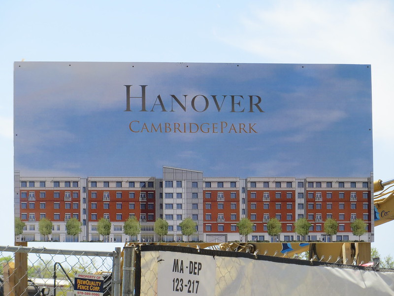
F-Line -- are these plans written down anywhere? I couldn't find it on the city website.
This was the first I've heard of any
formulated plan until Digital_Islandboy mentioned it a few posts up. It's been desired for ages and talked about at planning meetings for years because people will cross over between Rindge/Jefferson Park and Danehy any way they can...through the asphalt killzone, through a hole in the fence and down the RR tracks, etc. You only have to take one look at the path worn into the overpass hillside and the shopping cart propped up at the bottom of the wall for "stairs" to know that the will of the people has been expressing itself pretty loudly here for decades. But no, nobody to my knowledge has done a PowerPoint presentation or drawn officially-sanctioned pretty pictures until now.
These are the general things needed in the area:
-- Aforementioned footbridge between Danehy and Jefferson Park/DCR fields over the Fitchburg line. For all the obvious reasons, but especially for the children in the area who very heavily use both parks. And also ped access from Danehy and Huron Village to the 83 and Alewife that doesn't involve getting blasted by sand and debris from the parkway sidewalk.
-- A real bike connector between Fresh Pond and Alewife to keep riders off the parkway and off the awful parkway sidewalks. Striping a lane on Terminal Rd. and building ramps up the embankment cuts a large amount of the distance off. Tougher part will be gaining an easement behind the
plaza to connect Wheeler St. with Terminal and complete that connection from the Concord Ave. bike path + crosswalk. They have talked about the easement in meetings before, but so far the plaza owners haven't been willing to dance. The new condo developments on Wheeler and Fawcett might put some new pressure to get this done, since they're kind of cut off from the rest of the world.
-- H2O Branch rail trail. This one's pretty academic. Pretty much what you see on the (very nicely!) landscaped trail behind Watertown Mall to Arlington St., extended to the existing Fresh Pond path system. The Arlington-Grove St. segment is funded...now they just have to go fishing for Grove-Fresh Pond money. I can't stress enough how awesome that link will be...North Cambridge to Arsenal/H2O Sq. is almost impossible to reach in any halfway-direct way on bus, bike, or foot...this becomes a bona fide 'bipedal' transit line unto itself when it's built. Hell, people already walk the ROW from Watertown in droves to jog around the reservoir. Abandonment filing on the ROW finally went through late-2012 and the T is going to rip out the Fitchburg Line switch + storage siding when the Fitchburg Line signal replacement project reaches Cambridge. All the state has to do is buy the H2O Branch ROW from Pan Am, which will probably happen in the next year or so in a package sale because Pan Am also has a fresh abandonment in Lowell to sell that would allow the Bruce Freeman Trail to finally extend to downtown, and the T wants to outright own the tracks for the Fitchburg-Wachusett extension before that opens.
-- Sherman St. connecting path to the footbridge. Not a big deal since the Fitchburg Line is
4-track width here and they can simply pick either side of the ROW, throw up a chain link fence, pave, and go. Too many people from the Rindge side already use this as a de facto shortcut to Danehy that they need to fence it and make it "official" or somebody's gonna lose a leg to a train.
Those are the essentials establishing basic connectivity. The individual "nice to haves" would then be:
-- Trailing the H2O Branch
behind New St. and the Mall so the Children's Village school and the new condos at the end of New have a less-dangerous walk to/from Danehy and Fresh Pond than the lousy sidewalks on New. Nobody's really talked about this short stretch of ROW because the rest of the trail ends on the other side of Fresh Pond and simply uses the existing striped bike path to get over here, so chances are when they link the rest this part's still going to sit dead and unused till somebody agitates to figure out a use.
-- Further extension of the Sherman St. connector between
Sherman and the Pemberton-Walden Sq. underpass so those apt. blocks at Walden Sq., the schools on either side, and those fields/tennis courts are linked with the rest of the system. Same deal as the Sherman-Danehy leg...just chain-link fence and no-frills pave on one of the empty Fitchburg track berths. Cheapie.
-- Further extension from the Pemberton underpass all the way to Porter using the recently-restored historic
Walden St. cow tunnel (hidden at far left of the Google shot) and ramping up to the driveway/commuter rail entrance on the Mass Ave. SB side of the street. Boy oh boy would it be nice to have all 3 of the outer Red Line stations connected to the same path system.
-- Extension of the Fitchburg Cutoff path from Brighton St. to Belmont Ctr. This one I think actually has some juice if the NIMBY's in town haven't gotten "concerned" yet, and likewise would just involve a no-frills chain-link fence and pave job one of the two empty outer track berths. People already trespass in droves here, especially the Belmont High School kids who scale the embankment for shortcuts. And it's going to become an issue for Alewife/Acorn Park that they're walled off from Belmont more seriously than they are Cambridge or Arlington.


")

