- Joined
- Jan 7, 2012
- Messages
- 14,173
- Reaction score
- 23,688
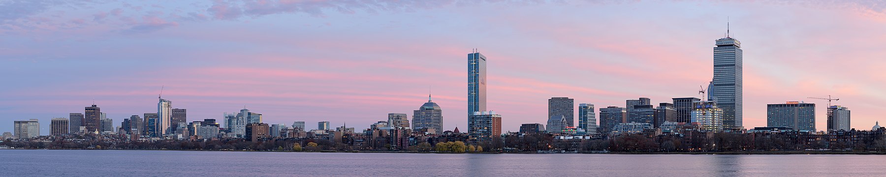
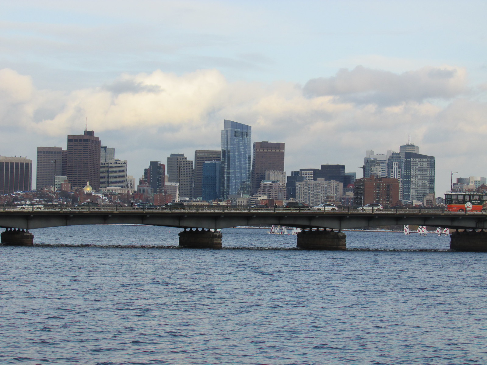
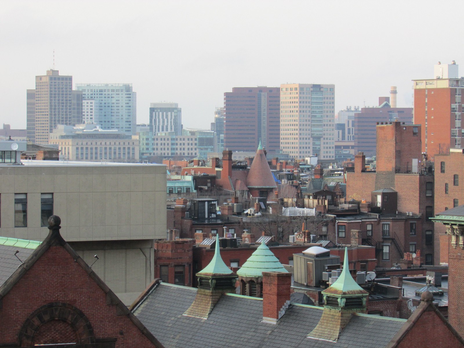
 hope u weren’t there yesterday that’s one cold spot in the city
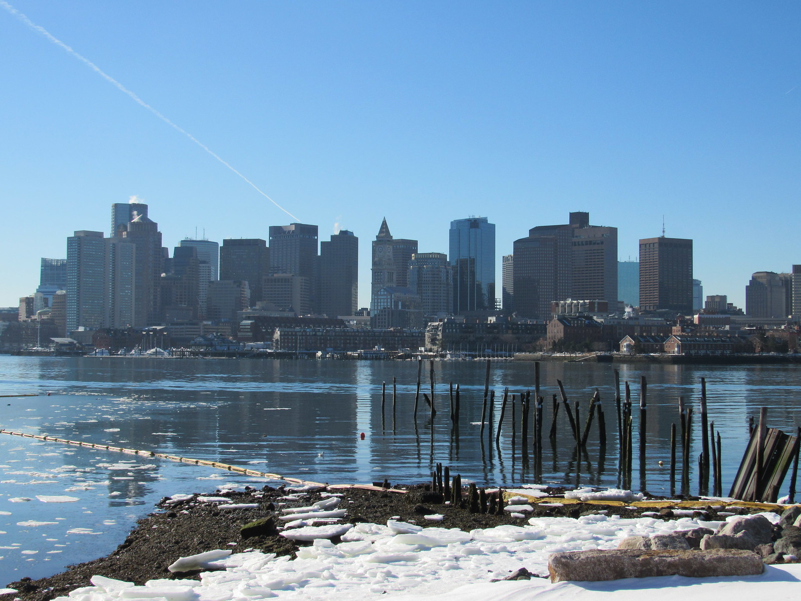
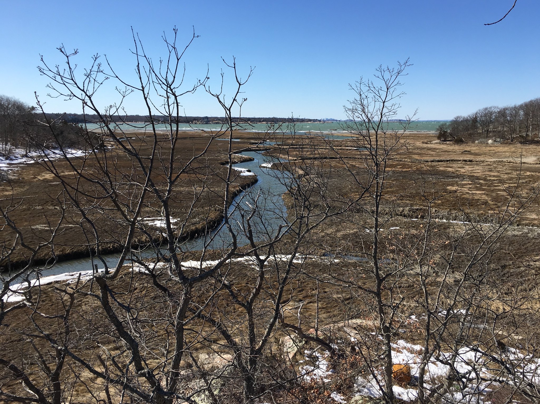 BostonView1 by Richard Taylor, on Flickr
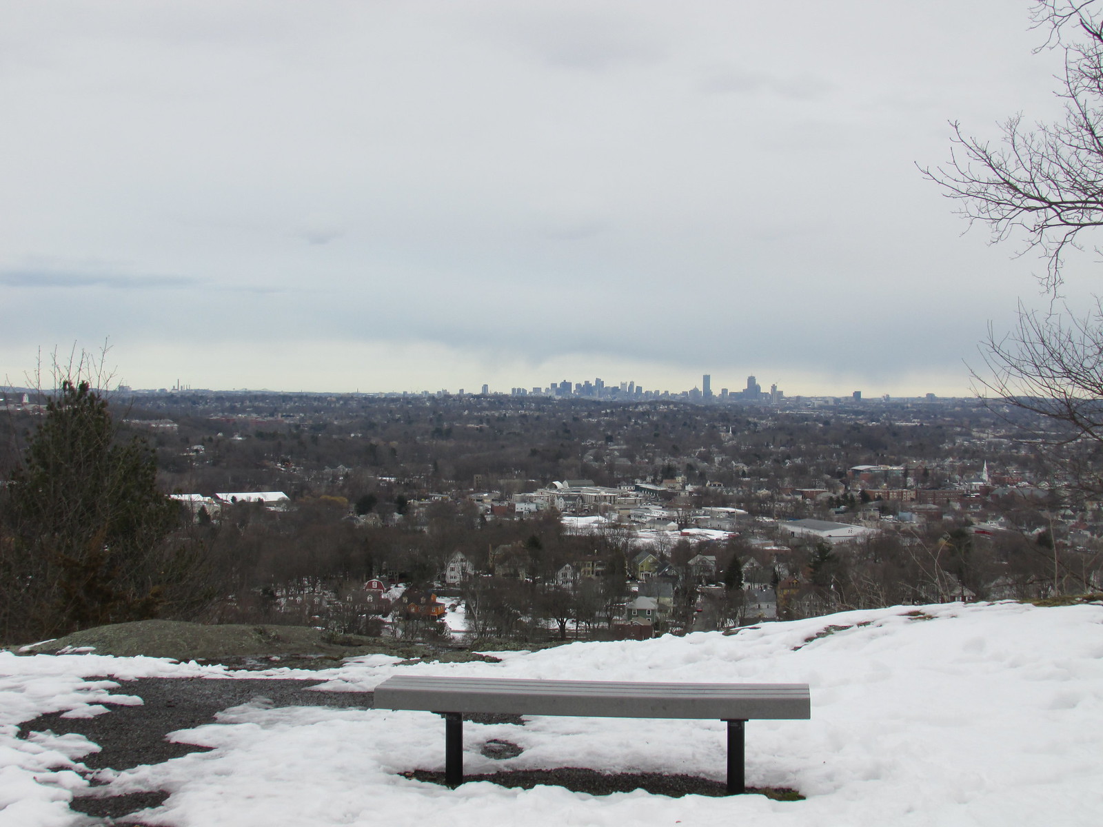
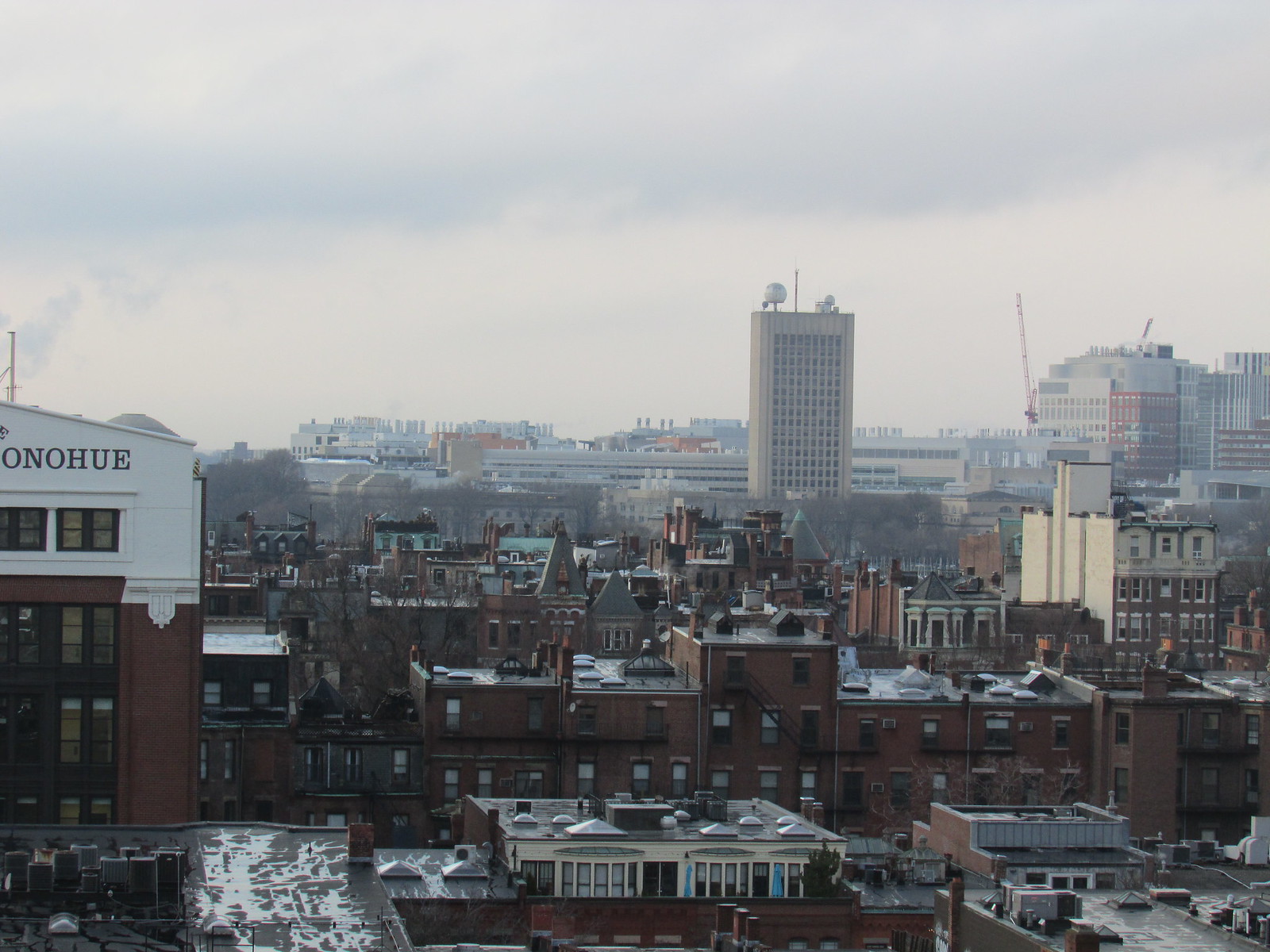
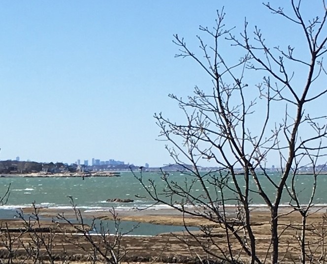 BostonView2 by Richard Taylor, on Flickr
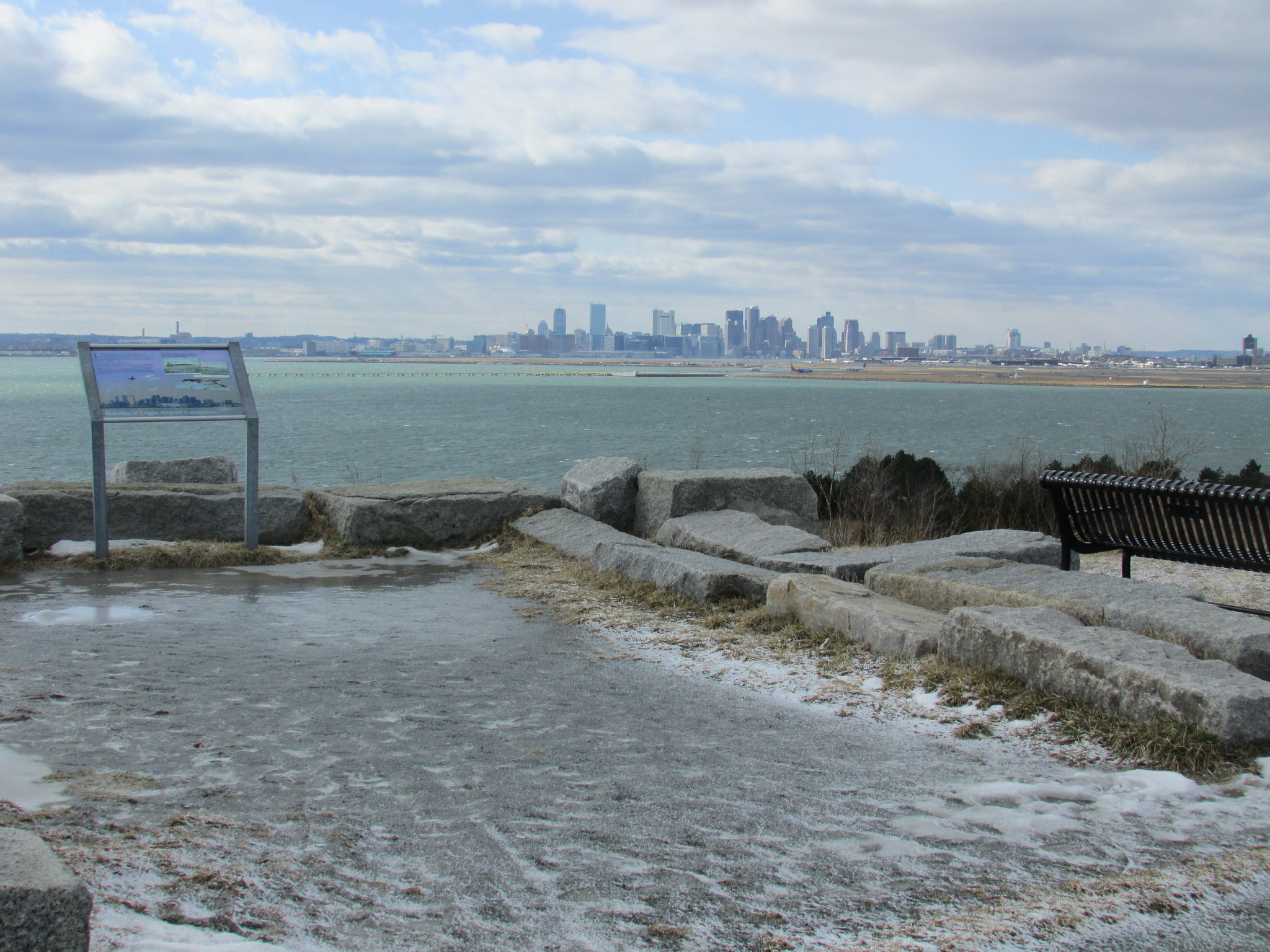
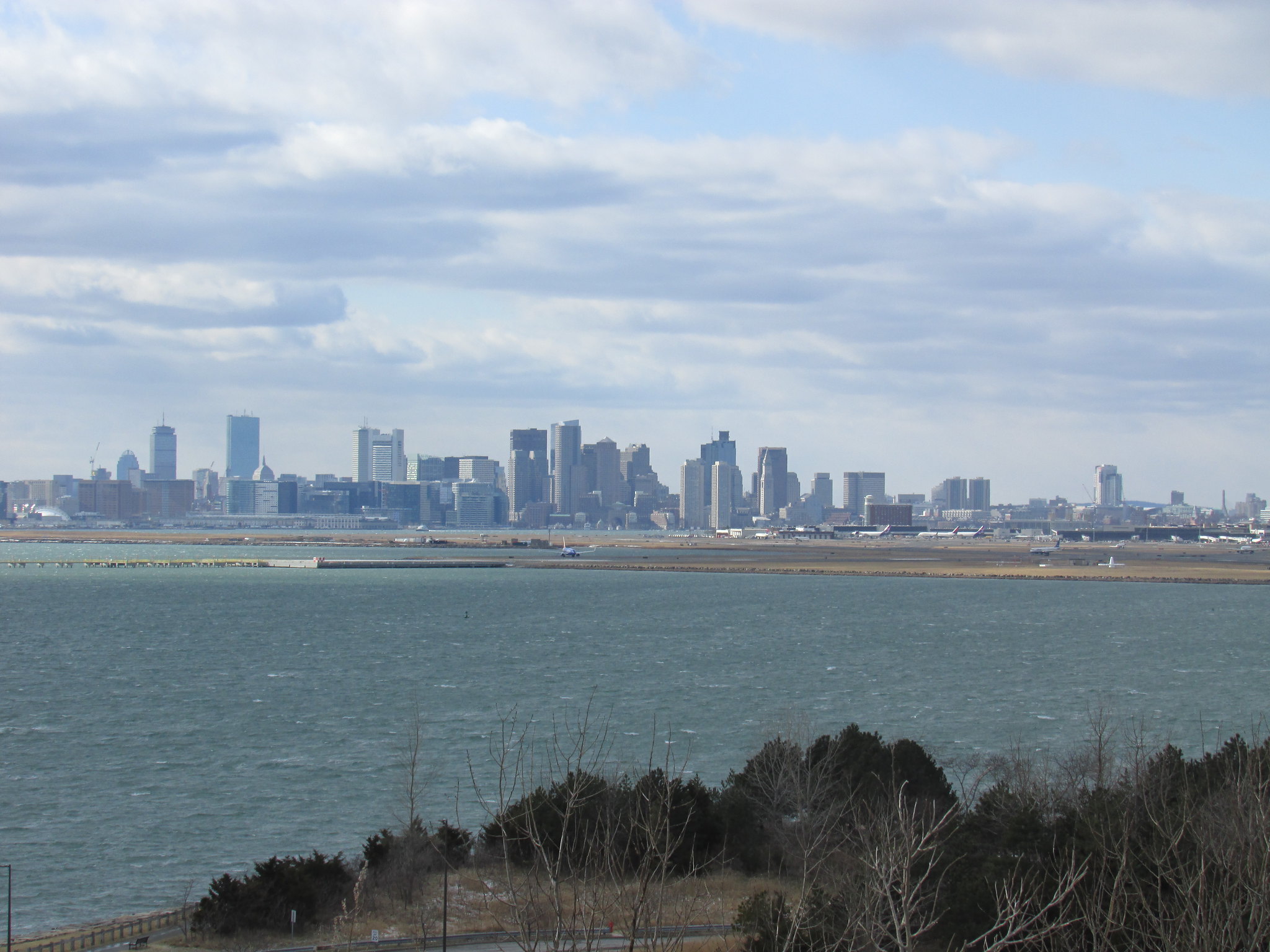
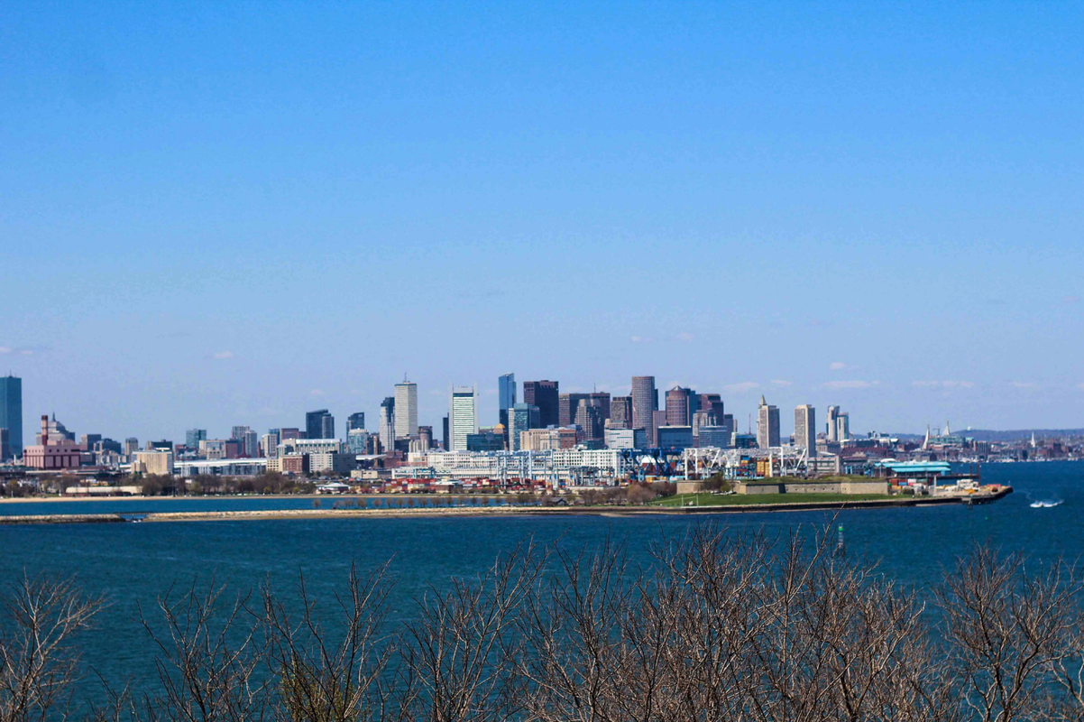
Can anyone guess where this was taken? Hint: I didn't know you could see the Boston skyline from here.
Can anyone guess where this was taken? Hint: I didn't know you could see the Boston skyline from here.
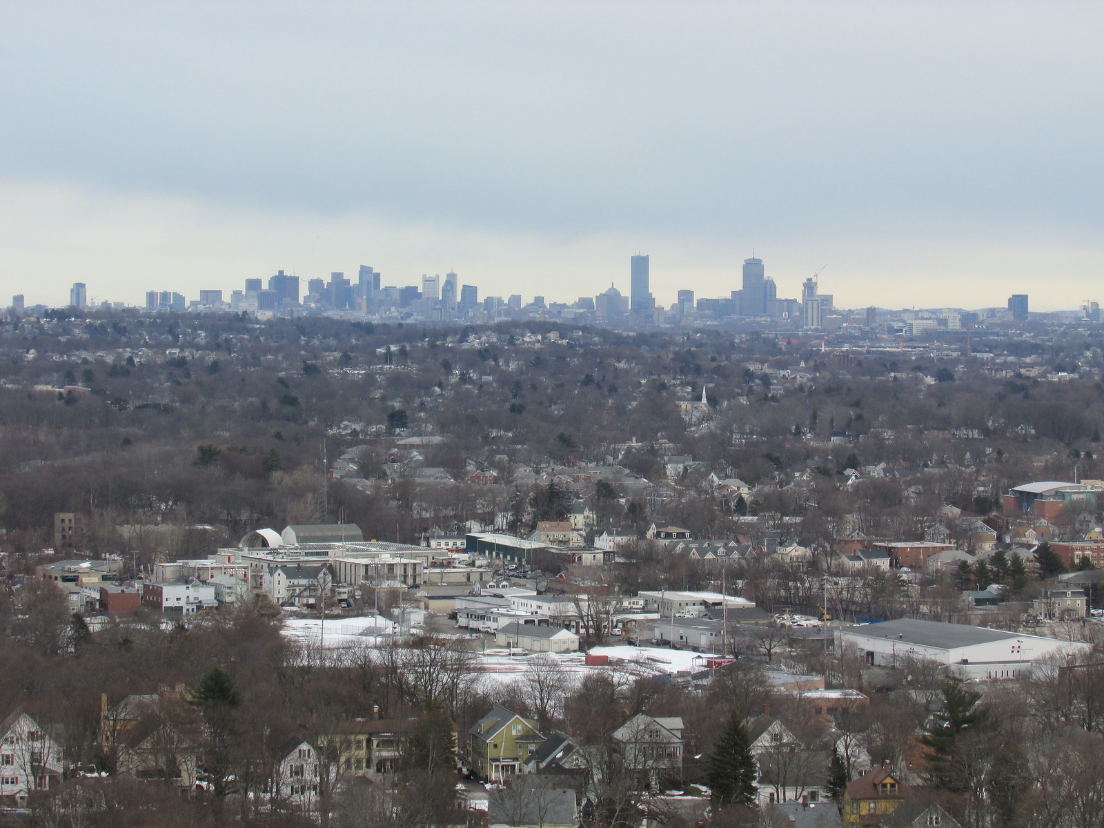
Well, your handle says "Scituate," and the Hancock and Pru are poking up on the left-hand side of the skyline, so you're therefore obviously shooting from the South Shore instead of North Shore.
Finally, given that it's a semi-wilderness looking environmental context... World's End?