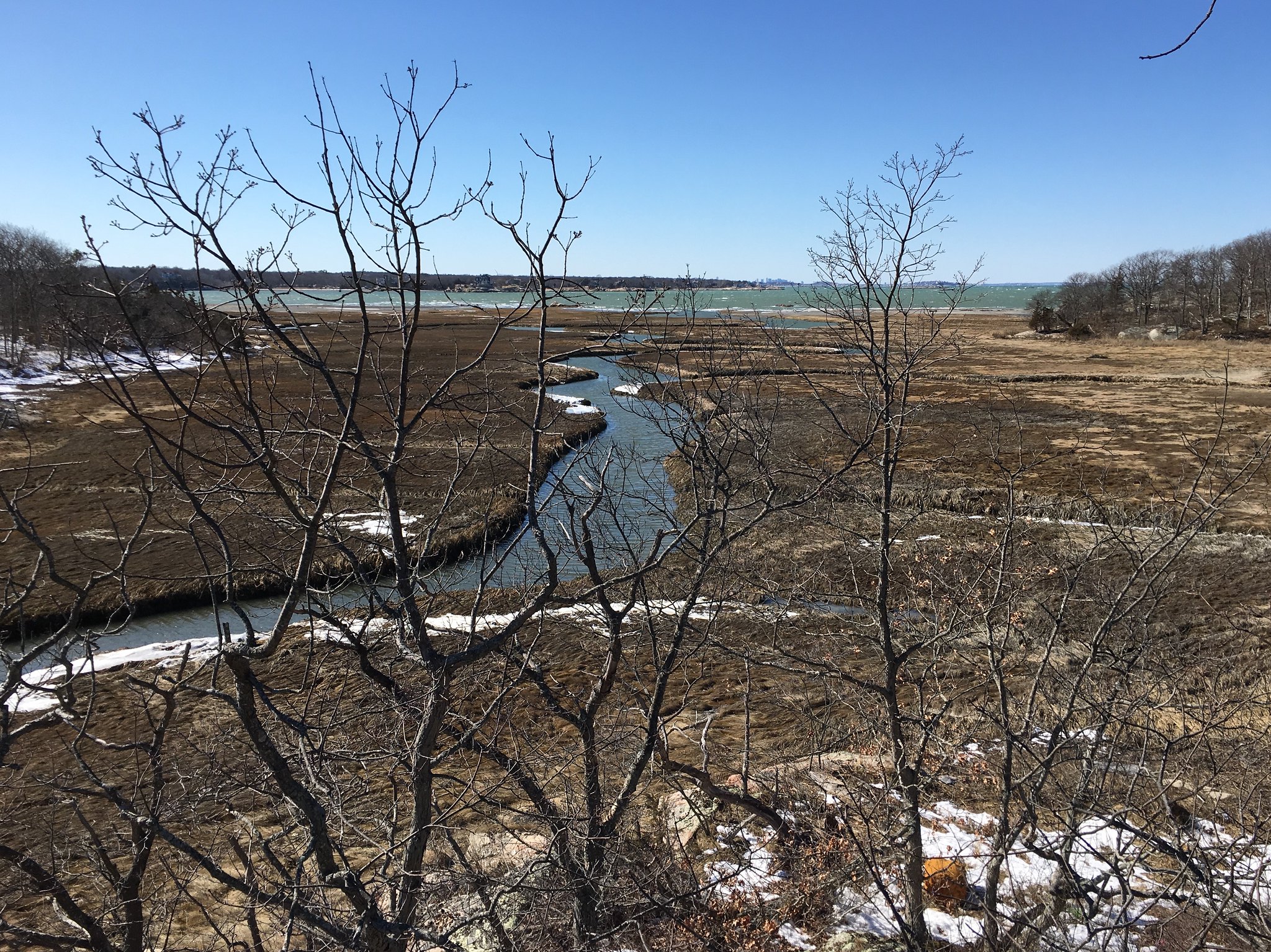
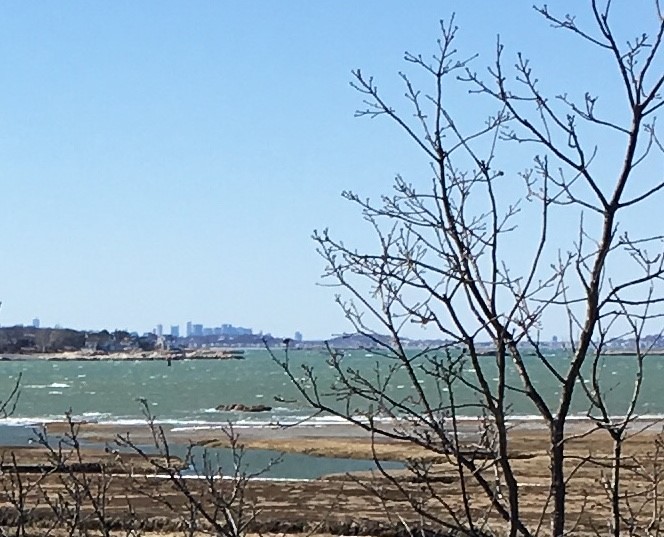
Boston Skyline Photos

Brrr💨 hope u weren’t there yesterday that’s one cold spot in the city
 
Found these on reddit

iaElwCy.jpg
 
Last edited by a moderator:
If my calculations are correct (always a big if), the ridgeline just to the left of the Hancock Tower should be Mt. Auburn Cemetery, in DZH22's shots from Waltham hills... so why don't we see the observatory tower silhouetted on the sky? Maybe because it's gray granite and the photo was taken on a cloudy day?
 
Can anyone guess where this was taken? Hint: I didn't know you could see the Boston skyline from here.

Well, your handle says "Scituate," and the Hancock and Pru are poking up on the left-hand side of the skyline, so you're therefore obviously shooting from the South Shore instead of North Shore.

Finally, given that it's a semi-wilderness looking environmental context... World's End?
 
Well, your handle says "Scituate," and the Hancock and Pru are poking up on the left-hand side of the skyline, so you're therefore obviously shooting from the South Shore instead of North Shore.

Finally, given that it's a semi-wilderness looking environmental context... World's End?

YES! It's actually Scituate. It's a small private peninsula of land called "The Glades" You can see the skyline from Hingham, Hull, and Cohasset very easily; but I didn't know you can see the Boston skyline from Scituate. I would bet this is the furthest south along the South Shore that you can view the skyline without being in a boat.

http://www.coastdefense.com/strawberry_point.htm
 
Older, but gives you almost everything. Its funny how the distance and angle make the Hancock and Pru look HUGE while downtown looks like a bunch of 10-15 story towers.

1800px-Boston_skyline_from_Cambridge_November_2015_panorama_1.jpg
 

From this vantage Id imagine 115 winthrop will now look shorter than MT where the first Millennium version looked a good amount taller. Pretty sure MT is going to be the centerpiece of downtown from this angle for a long time. I hope they release more renders from distance like this shot above from across the charles, from across the harbor, from the back bay, from the seaport- you get a good idea with the render from 93, and a few more. Id like to also see what looking straight up the T from ground level looks like.
 
Taken from the Pilgrim Monument in Provincetown, 50 miles. Photo from Provincetown Photography Page on FB

 
Cool. Bottom half of the skyline is cut off by the curvature of the earth. And everything is stretched vertically. Horizon effect?
 

Back
Top