You are using an out of date browser. It may not display this or other websites correctly.
You should upgrade or use an alternative browser.
You should upgrade or use an alternative browser.
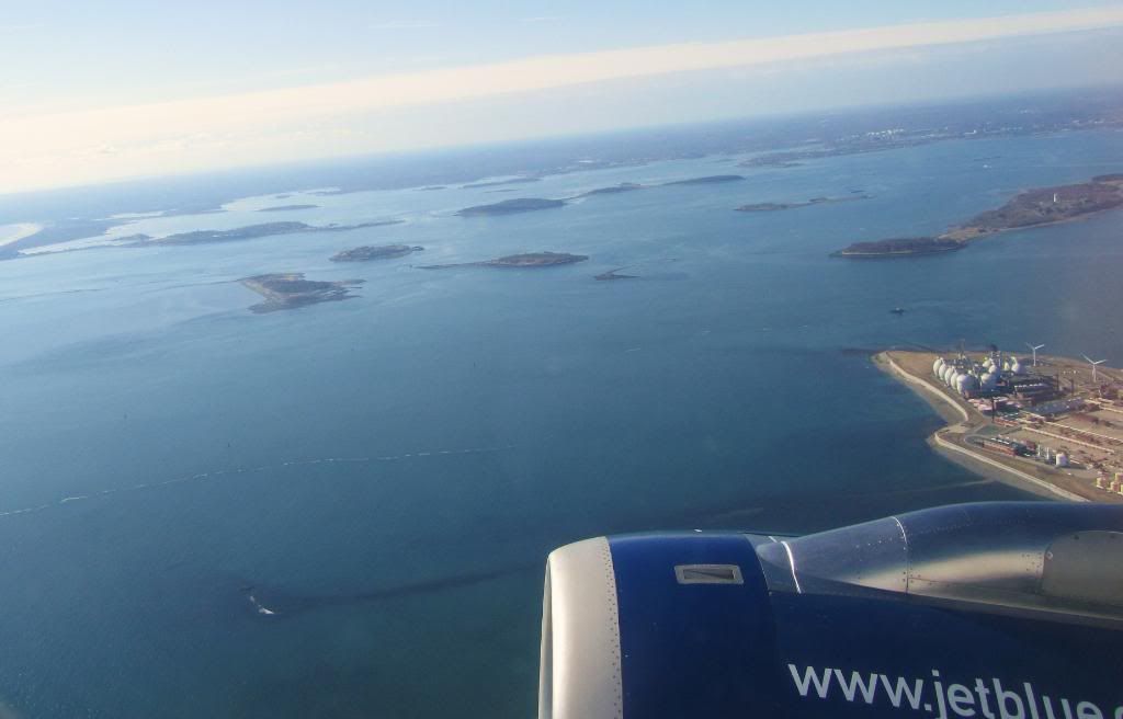
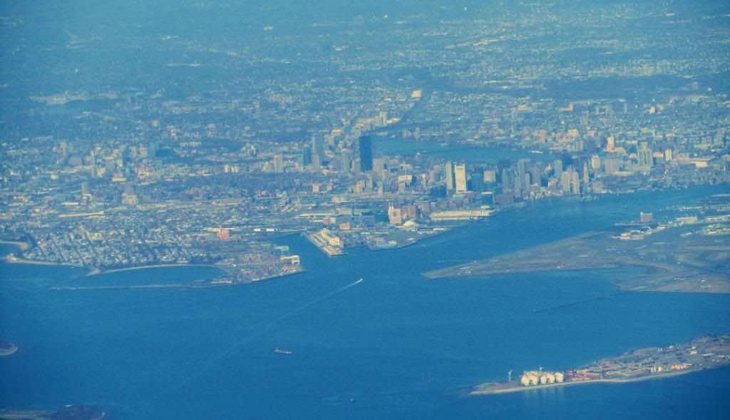
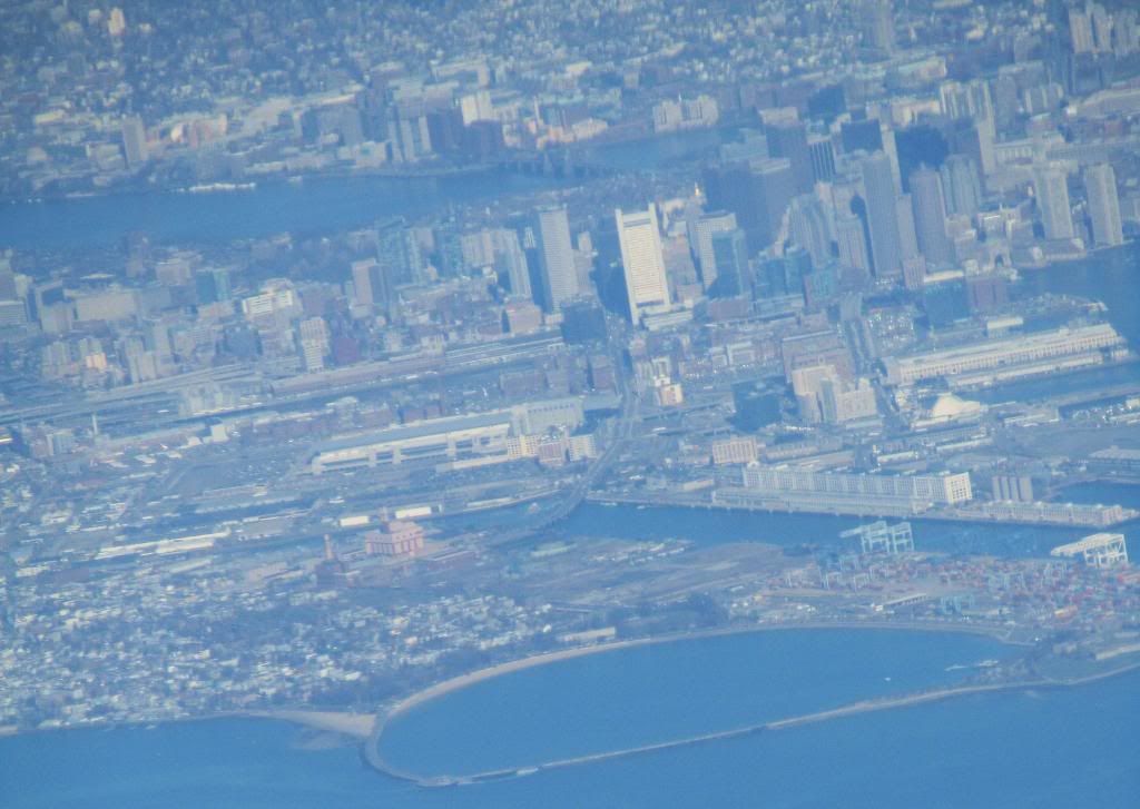
Aerials
- Thread starter Mike
- Start date
Ron Newman
Senior Member
- Joined
- May 30, 2006
- Messages
- 8,395
- Reaction score
- 14
The MIT Crew Alumni Association says: "The St. Mary's bridge was removed in 1926-27 and the Cottage Farm rebuilt soon after, which was eventually a boon for rowing though traumatic while it was in progress."
['Cottage Farm' bridge is now called the BU Bridge]
['Cottage Farm' bridge is now called the BU Bridge]
Pierce
Active Member
- Joined
- May 29, 2008
- Messages
- 461
- Reaction score
- 1
Epic post, Pierce. I need to print some of these and send them to my dad.
The "teenie bopper" photo looks to be from the early 50s; Orient Heights Station is brand new, and there are no trees in my yard.
If you follow the link in my first post you can get the metadata for the photos, with specific years.
There is a handful of Orient Heights shots, in fact.
Last edited:
Beton Brut
Senior Member
- Joined
- May 25, 2006
- Messages
- 4,383
- Reaction score
- 354
^ Thanks for helping me decorate my new kitchen.
BostonUrbEx
Senior Member
- Joined
- Mar 13, 2010
- Messages
- 4,346
- Reaction score
- 140
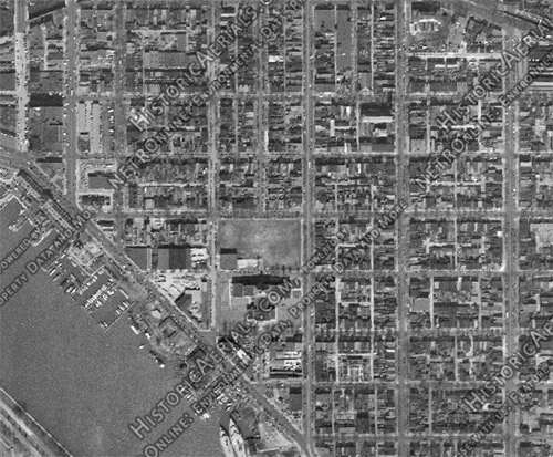
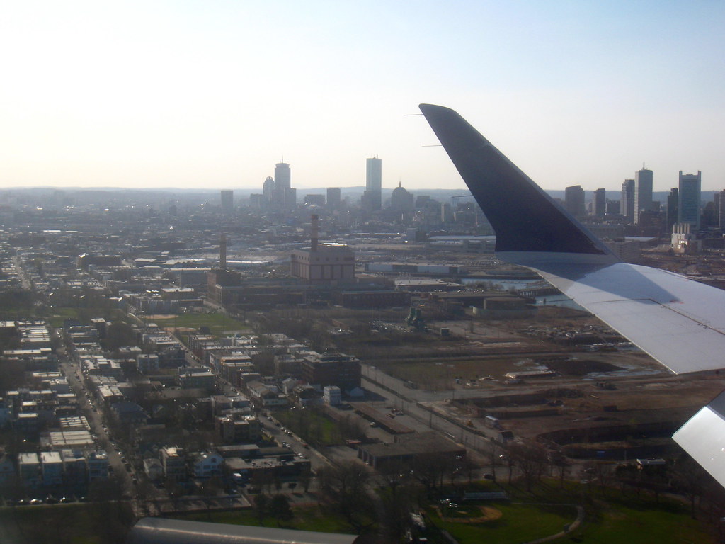
I can understand demoing for the interstate (even if I don't like it). But why was a massive radius obliterated with it?!

BostonUrbEx
Senior Member
- Joined
- Mar 13, 2010
- Messages
- 4,346
- Reaction score
- 140
http://i2.photobucket.com/albums/y17/jamesinclair/March 2011 Boston/IMG_8528.jpg
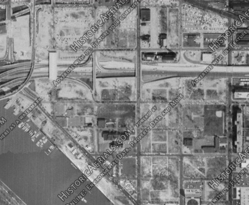
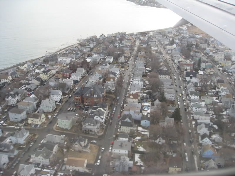
Where's this one? One is there such a massive road for a small area?
Where's this one? One is there such a massive road for a small area?
Beton Brut
Senior Member
- Joined
- May 25, 2006
- Messages
- 4,383
- Reaction score
- 354
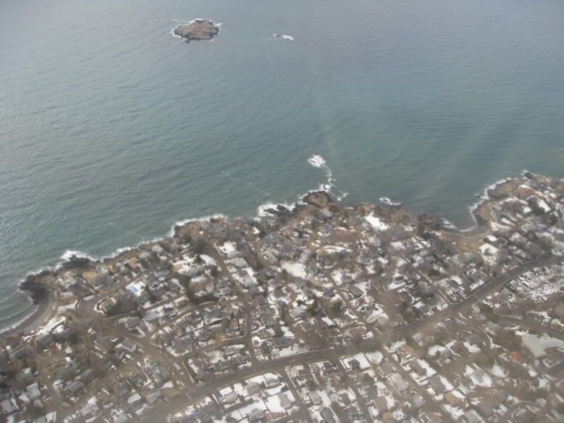
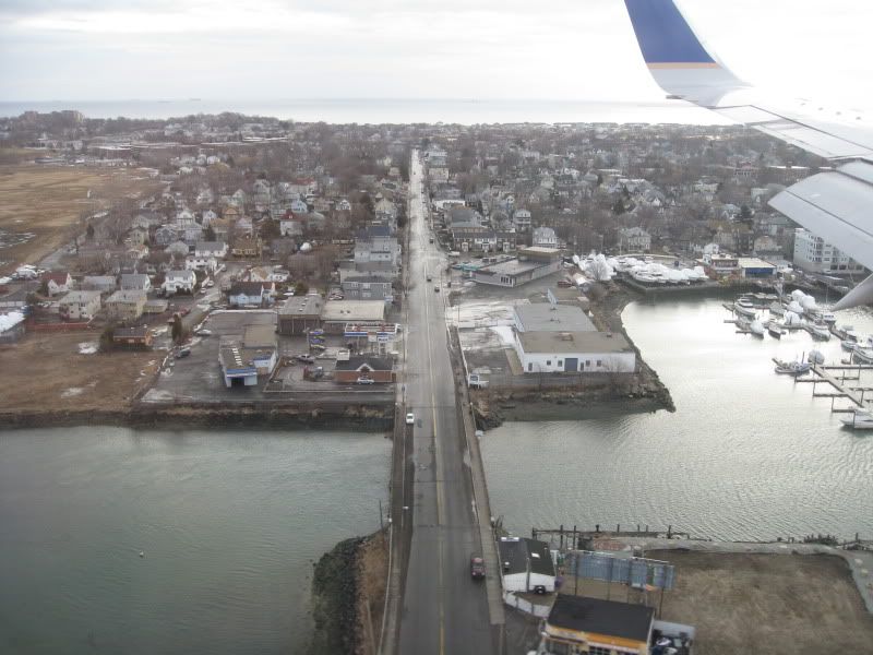
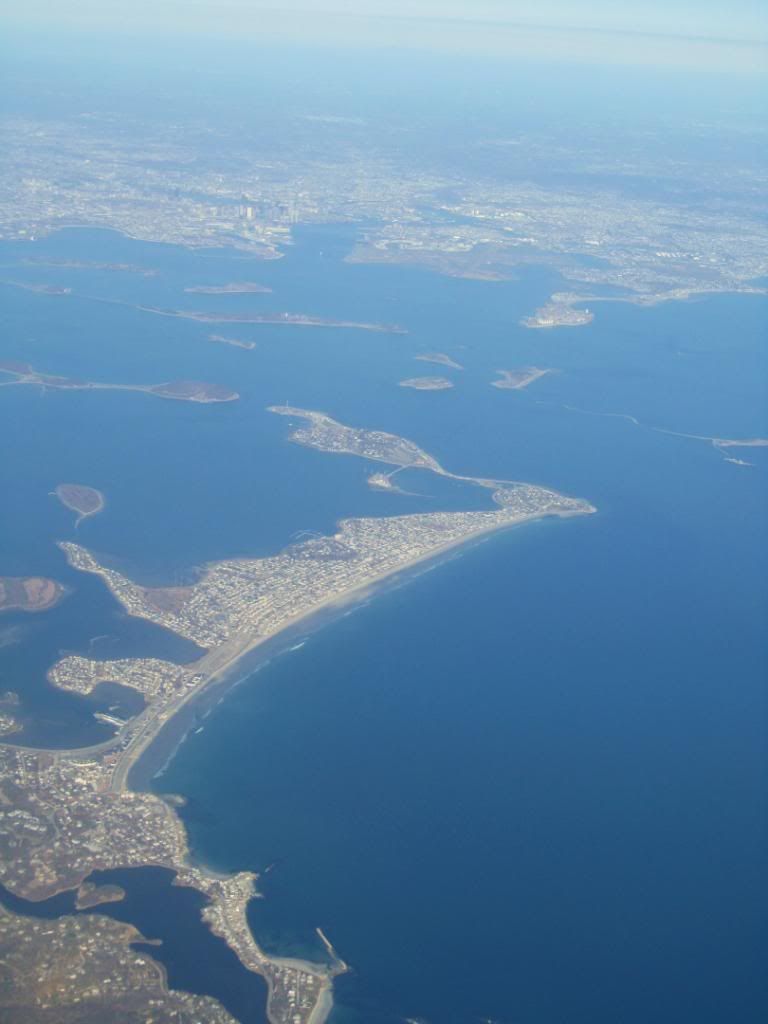
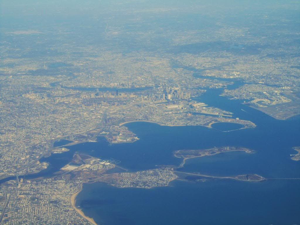
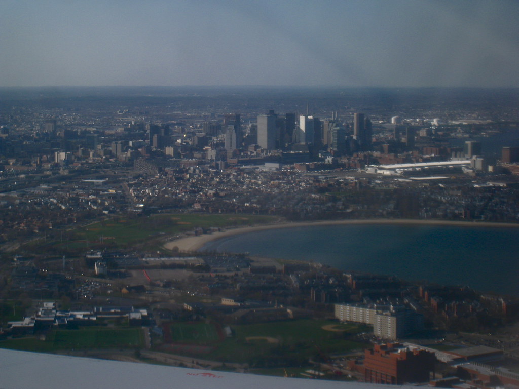
Inbound flights are the only times anyone who doesn't live in Winthrop or Nahant sees them without intending to visit.
Which is a shame. Beautiful homes and killer views in both places.
Where's this one? One is there such a massive road for a small area?
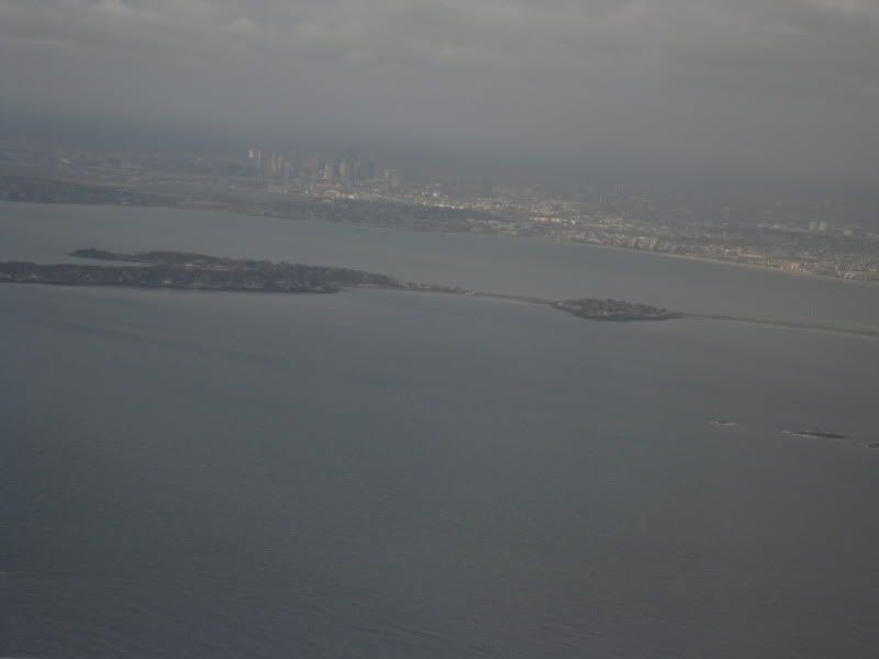
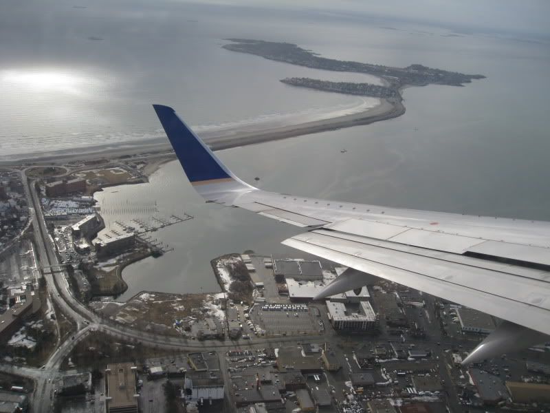
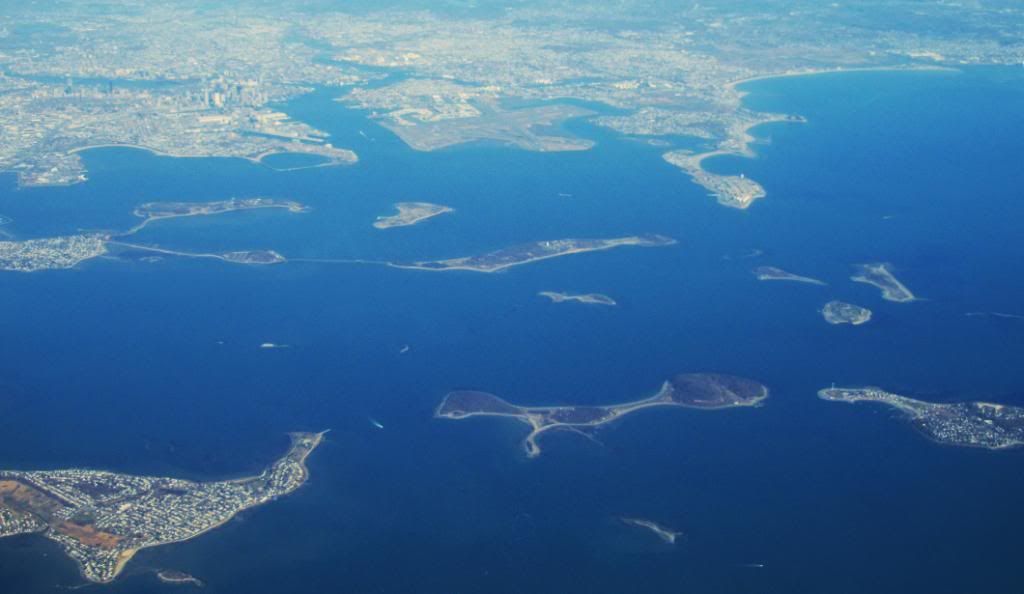
Over Lynn. The massive road is the causeway to Nahant. The ocean-side is a really nice beach.
Ron Newman
Senior Member
- Joined
- May 30, 2006
- Messages
- 8,395
- Reaction score
- 14
Nahant is pretty indifferent to visitors and tourists. When the USS Constitution was sailed to Marblehead a few years ago, I was on a bike tour that wandered through Nahant while trying to follow the ship. Nobody in Nahant seemed to be paying any attention to either the Constitution or us.
BostonUrbEx
Senior Member
- Joined
- Mar 13, 2010
- Messages
- 4,346
- Reaction score
- 140
Over Lynn. The massive road is the causeway to Nahant. The ocean-side is a really nice beach.
Ohhh, I know exactly where this is!
Wow, the road looks MASSIVE in the aerial. Driving on it, it feels so different!
Also, the beach is nice the closer you are to Nahant. The Lynn side SUCKS and smells like poopoo all the time. And then low tide? Oh god, I'm passing out...
Boston02124
Senior Member
- Joined
- Sep 6, 2007
- Messages
- 6,936
- Reaction score
- 7,088
last week
 Worcester
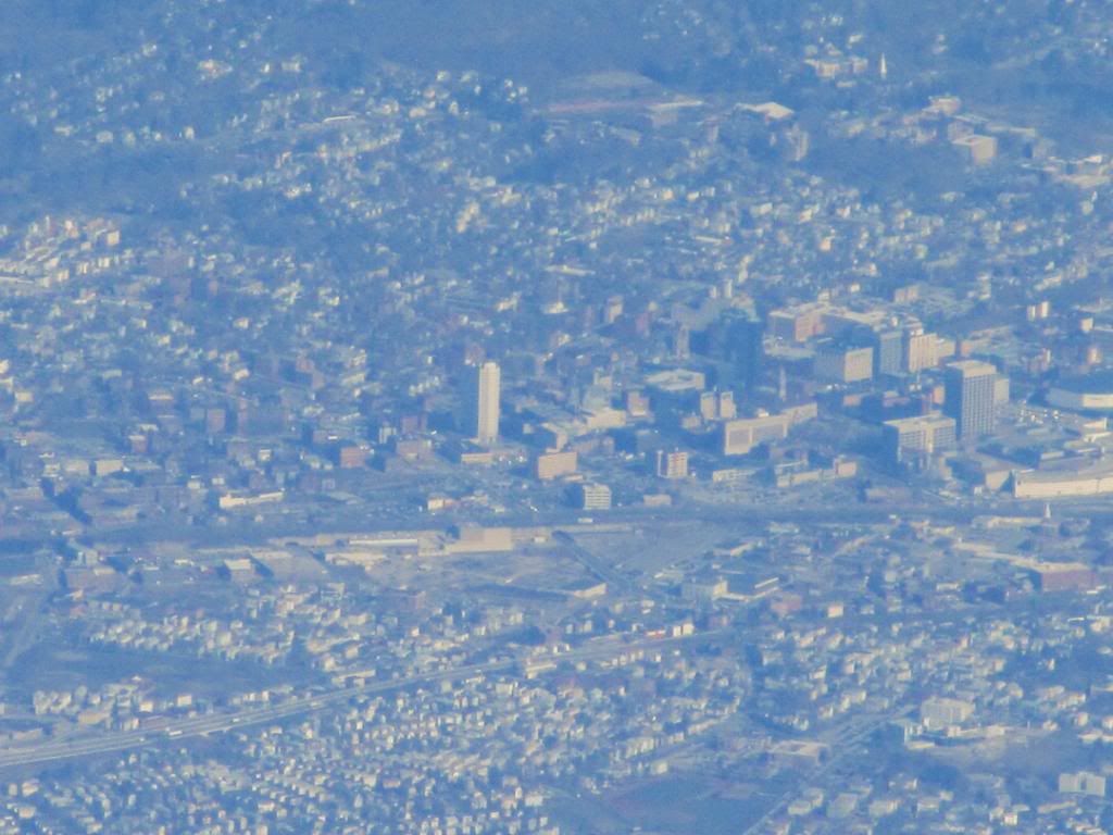 North Carolina


blade_bltz
Active Member
- Joined
- Jul 9, 2006
- Messages
- 808
- Reaction score
- 0
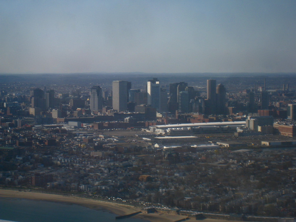
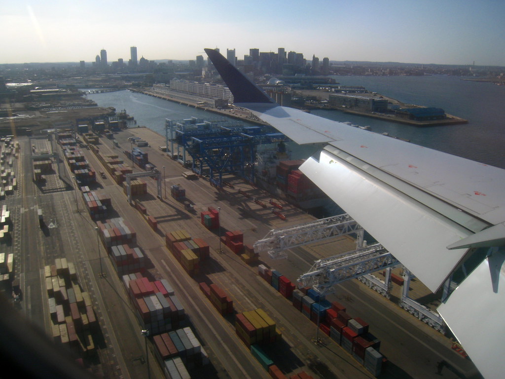
I spy some new housing u/c in Southie in pic #3!
Yay for new stuff:
http://www.lesvants.com/stock/BOSTON/Boston_2011/Seaport_May_2011/index.htm
http://www.lesvants.com/stock/BOSTON/Boston_2011/Seaport_May_2011/index.htm