- Joined
- May 25, 2006
- Messages
- 7,064
- Reaction score
- 1,990
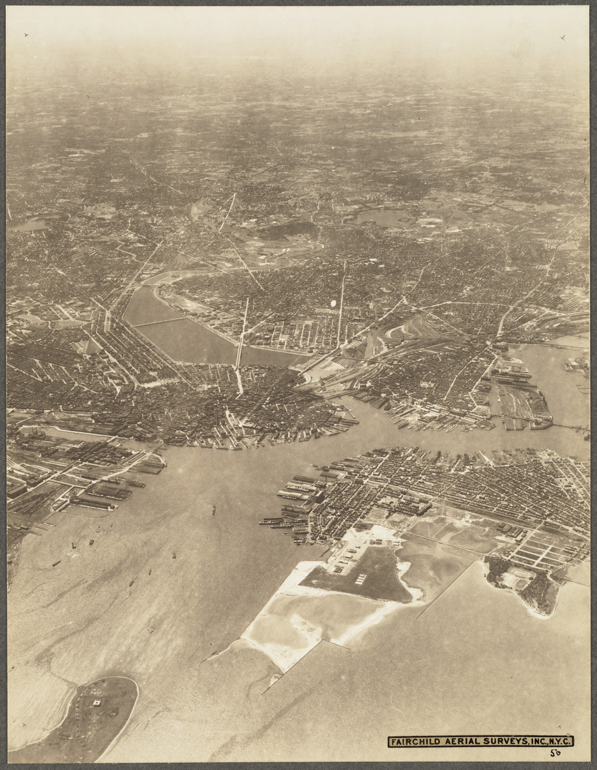
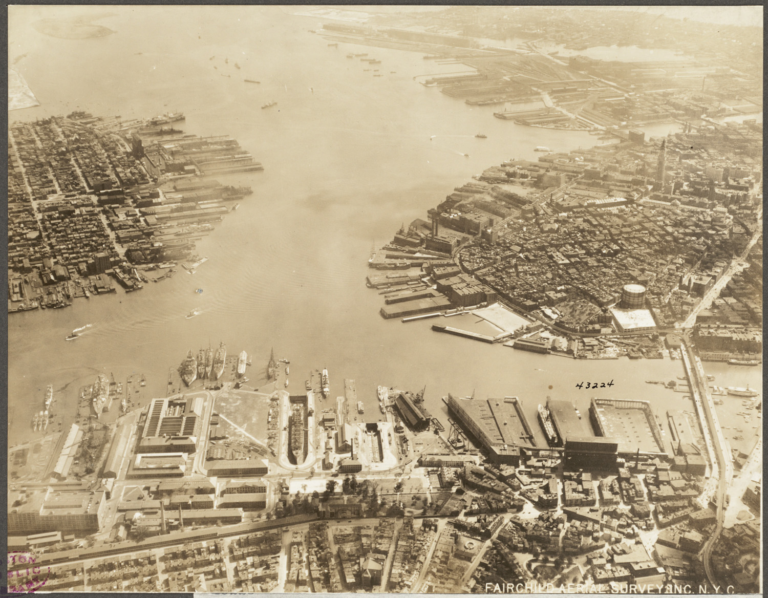
Yeah I have a bunch of those too. No idea where they came from.
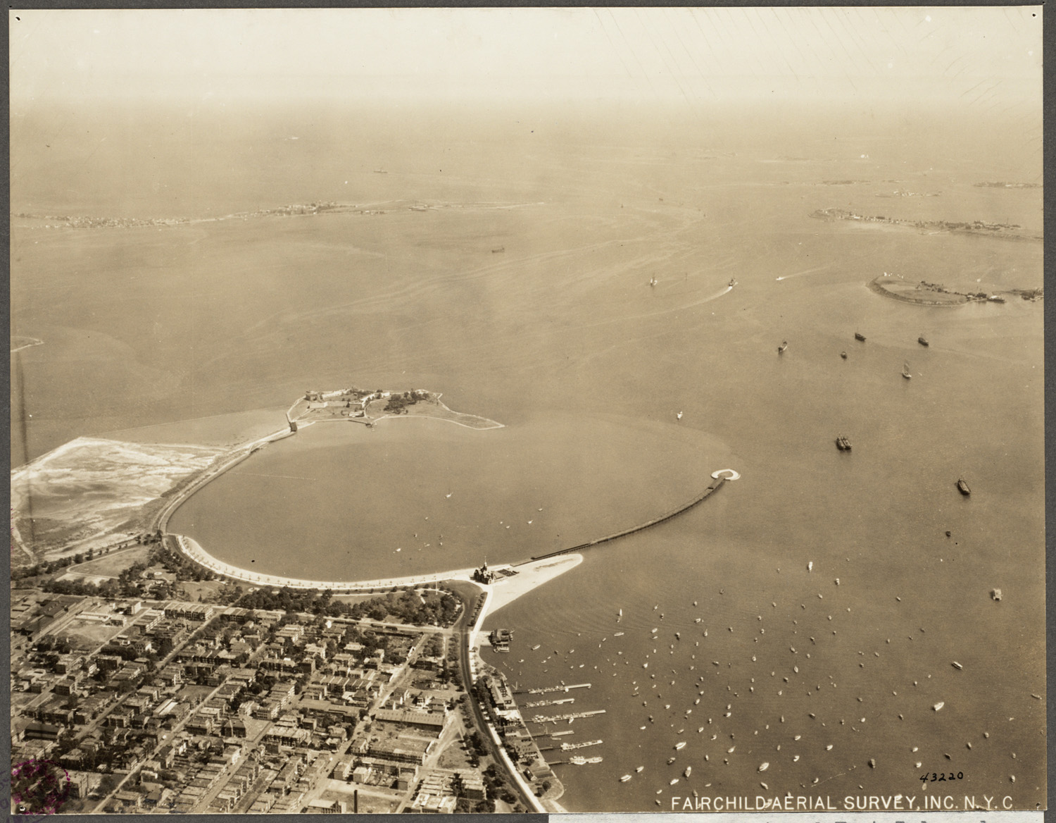
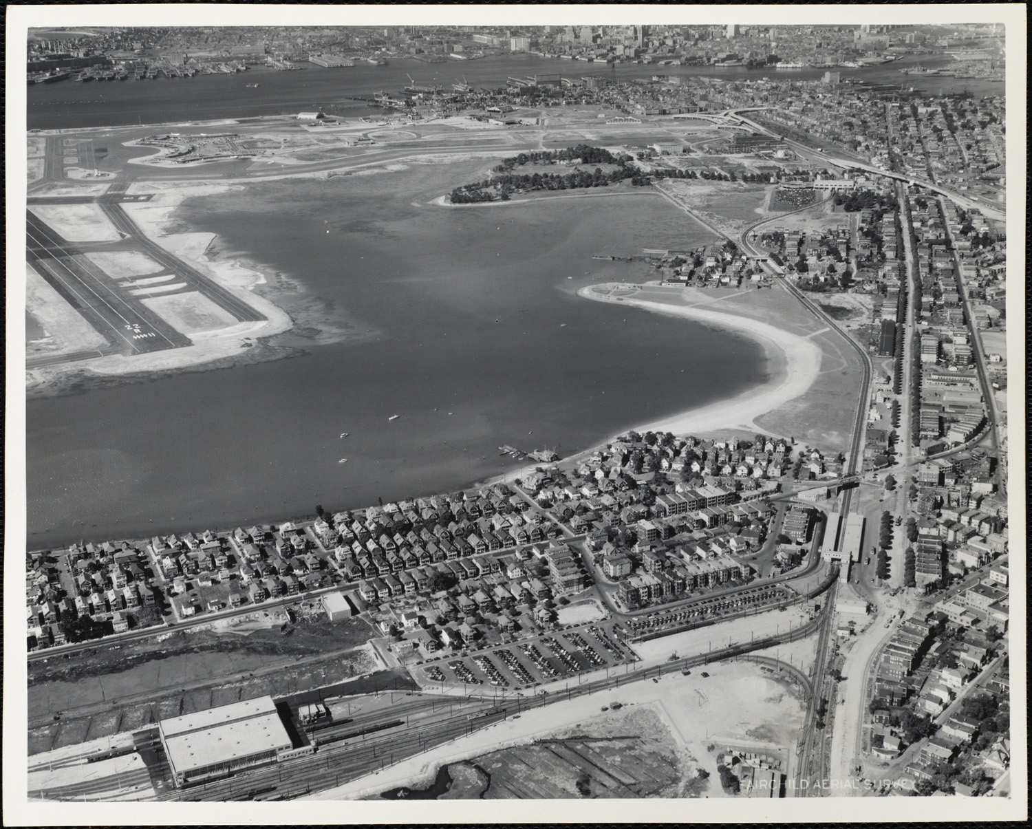
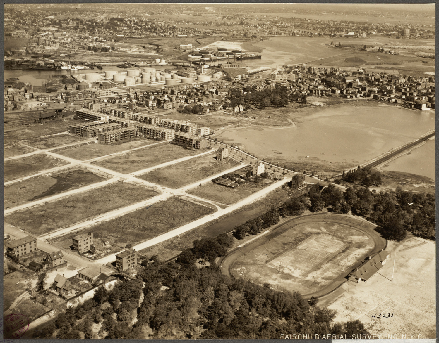
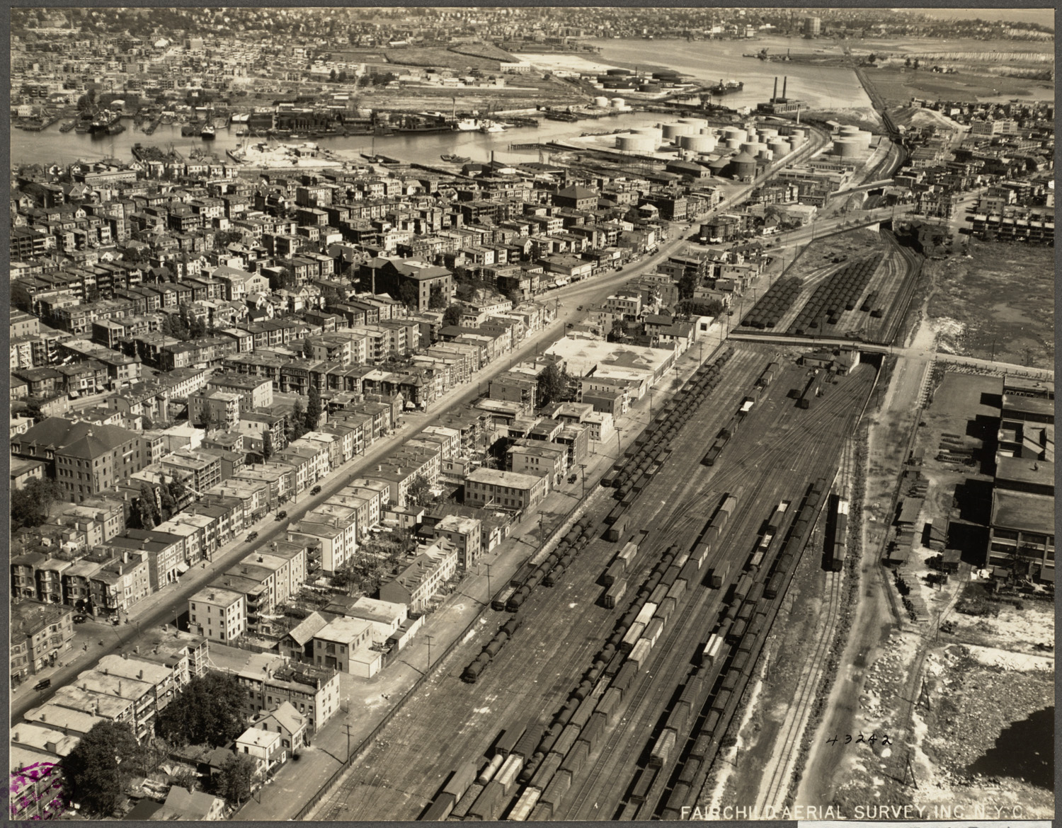
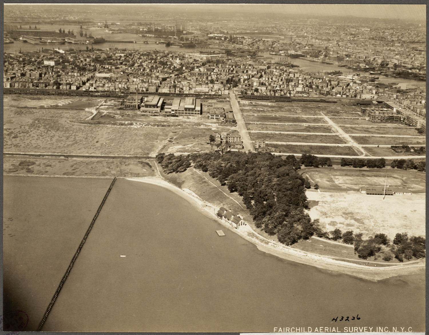
...and Day Square-Orient Heights area, can't seem to find more...

Please post...I'm curious.


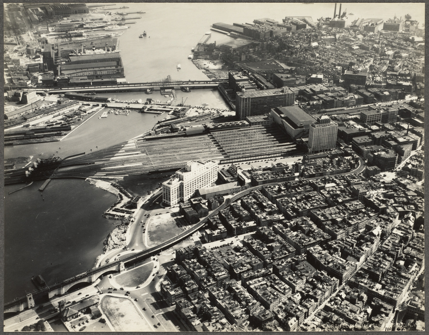
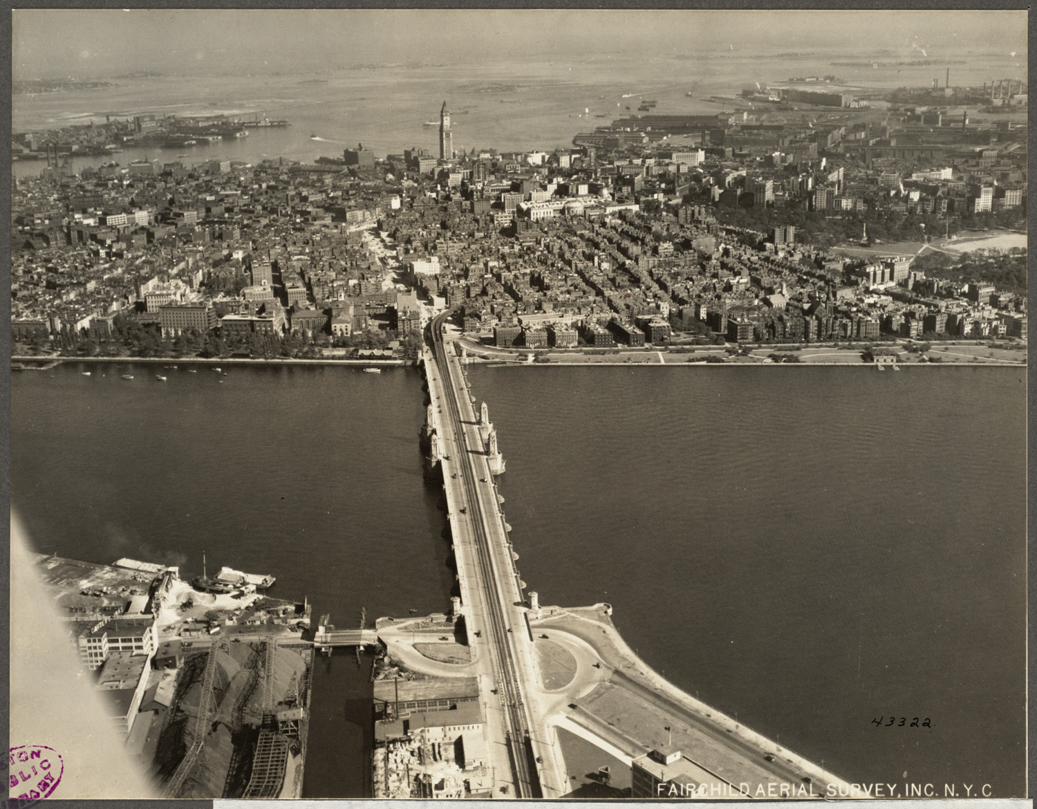
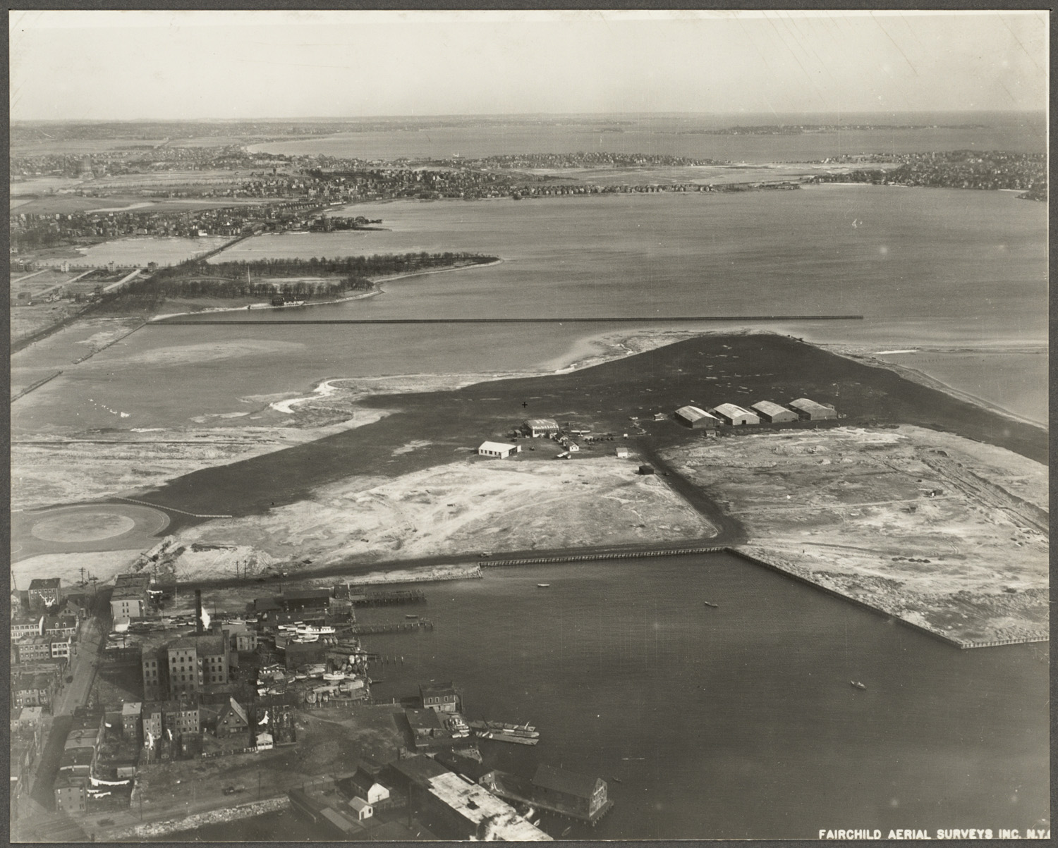
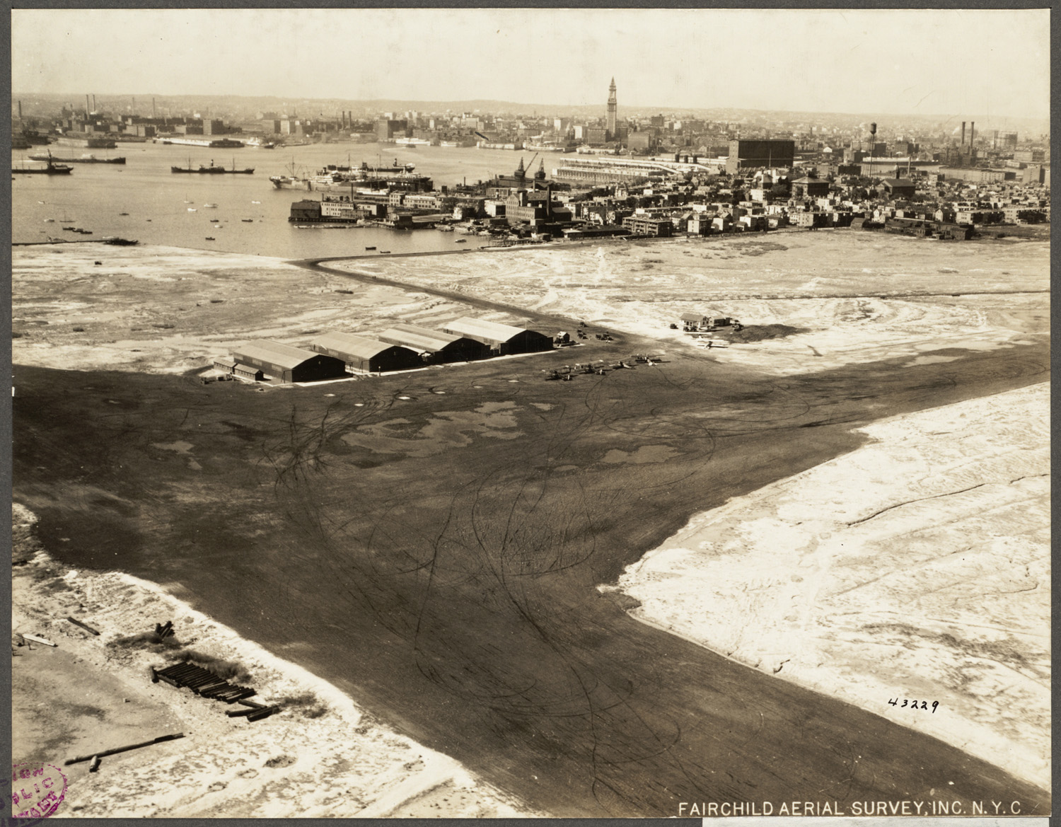
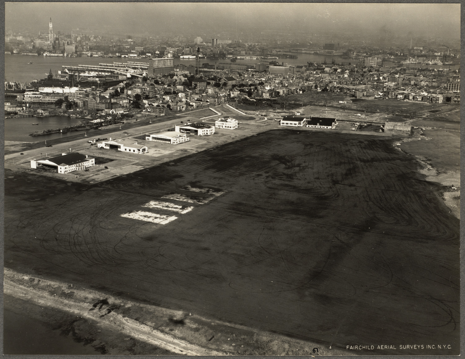
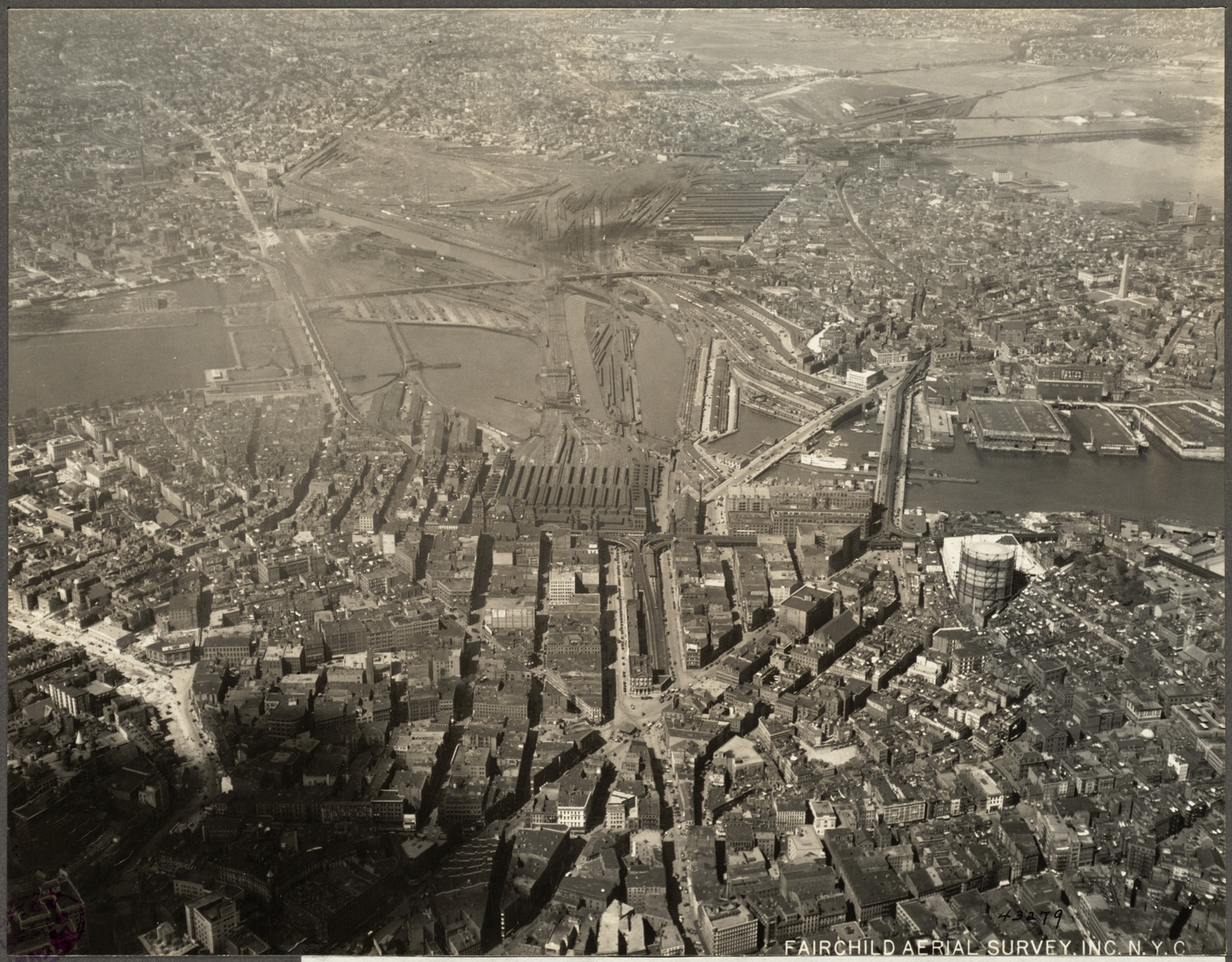
it was 1943 (or was it 47?)
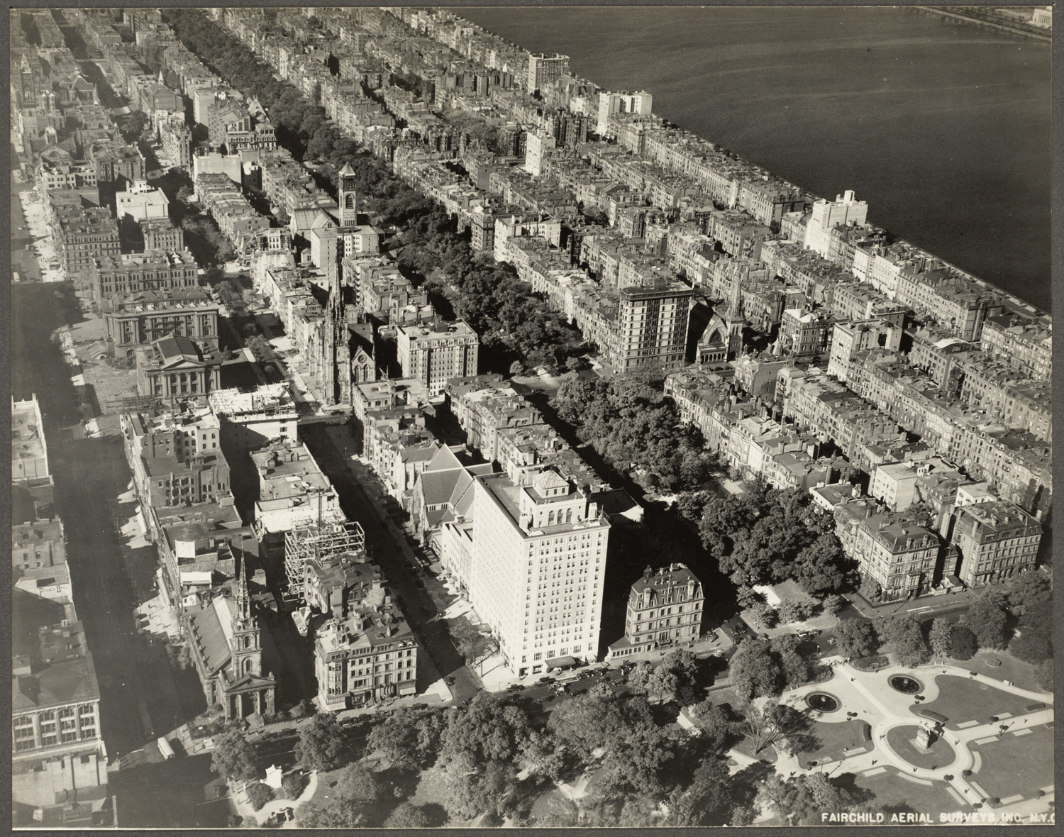
I'll date it (wild-ass guess) at 1955.
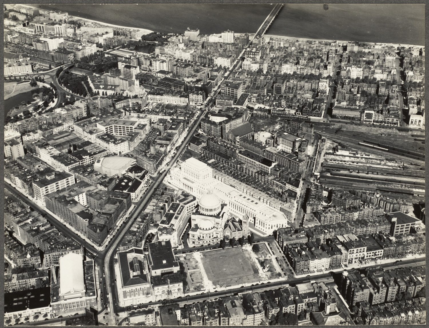
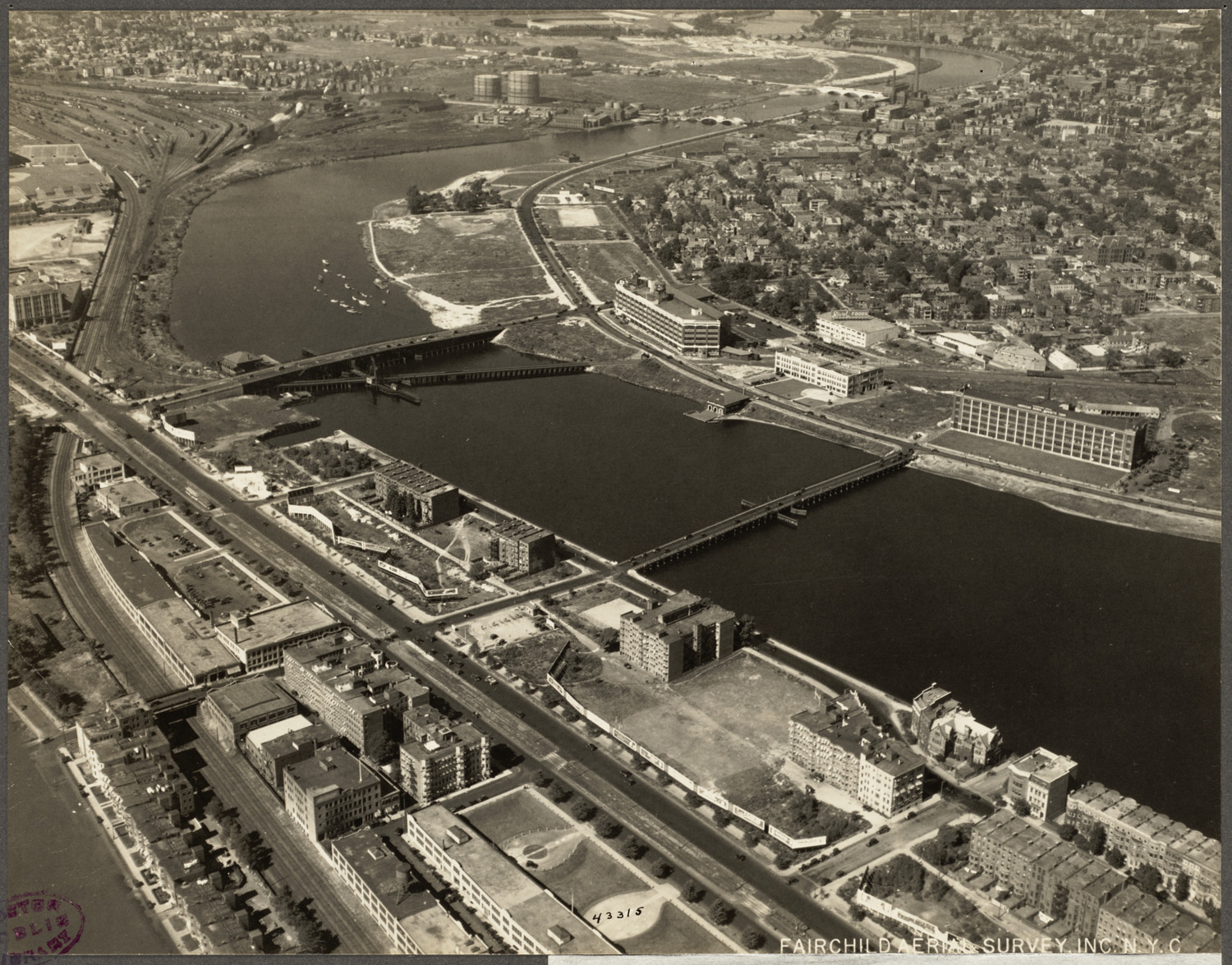
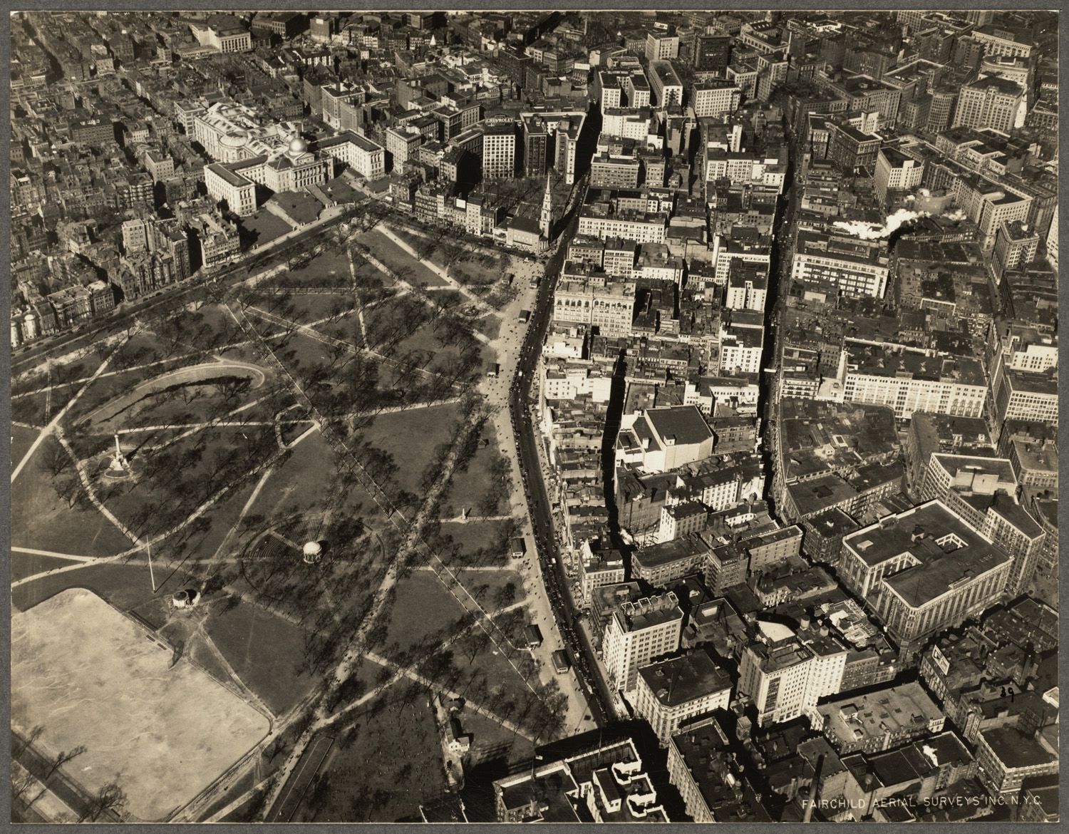
Whoever put this massive surface arteries all along the Charles should be shot.
Well- I assume they're dead now... but before they died, they should have been shot...