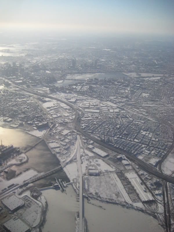
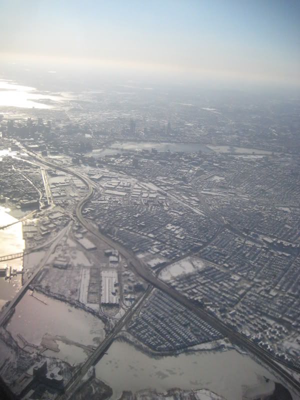
You are using an out of date browser. It may not display this or other websites correctly.
You should upgrade or use an alternative browser.
You should upgrade or use an alternative browser.
Aerials
- Thread starter Mike
- Start date
Ron Newman
Senior Member
- Joined
- May 30, 2006
- Messages
- 8,395
- Reaction score
- 13
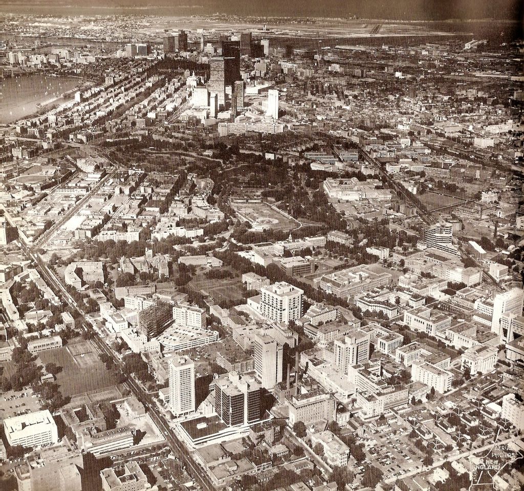
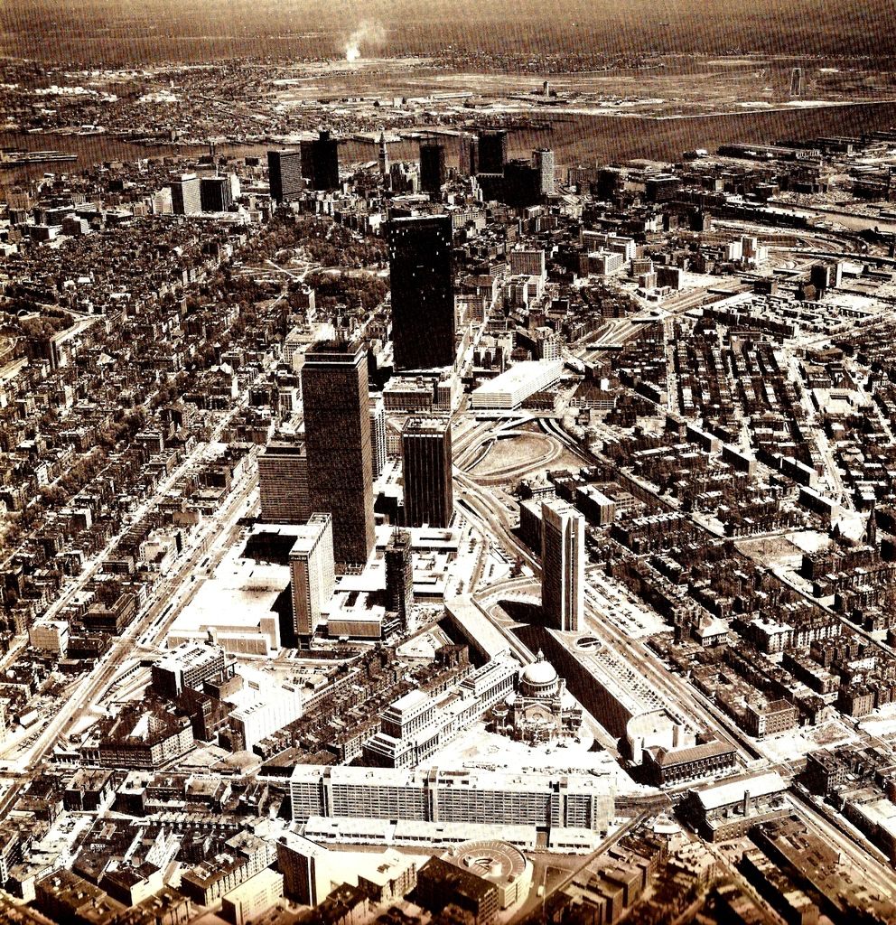
Ooooh, photos of the pre-mall Prudential Center and the previous design of Copley Square park. Some parts of our city have improved quite a bit since then!
Boston02124
Senior Member
- Joined
- Sep 6, 2007
- Messages
- 6,893
- Reaction score
- 6,639
Very cool,this is when I arrived in Boston so much has changed since then.thanks!
Pierce
Active Member
- Joined
- May 29, 2008
- Messages
- 461
- Reaction score
- 1
A question from someone who was not only a tot when those were taken, but a midwesterner as well:
what was going on at south station? It looks like that was under a MAJOR renovation at the time, where they really down to just the two platforms over by the post office? How was that managed? Did they just cancel trains for a time?
what was going on at south station? It looks like that was under a MAJOR renovation at the time, where they really down to just the two platforms over by the post office? How was that managed? Did they just cancel trains for a time?
Ron Newman
Senior Member
- Joined
- May 30, 2006
- Messages
- 8,395
- Reaction score
- 13
South Station was reduced to a temporary trailer ("Amshack") for a few years while they renovated the real station.
Boston02124
Senior Member
- Joined
- Sep 6, 2007
- Messages
- 6,893
- Reaction score
- 6,639
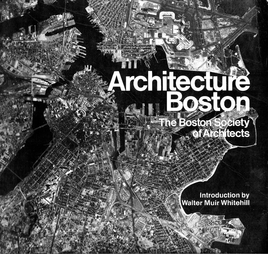
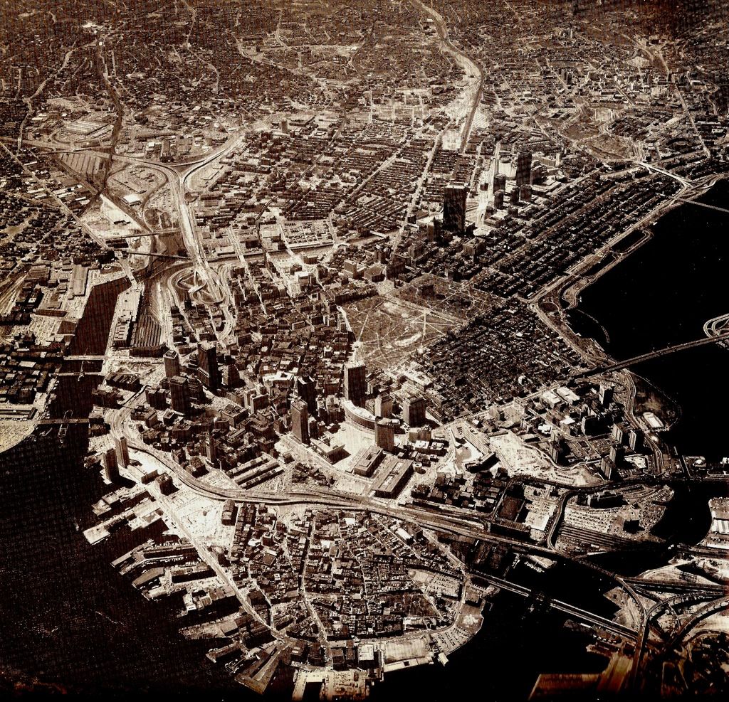
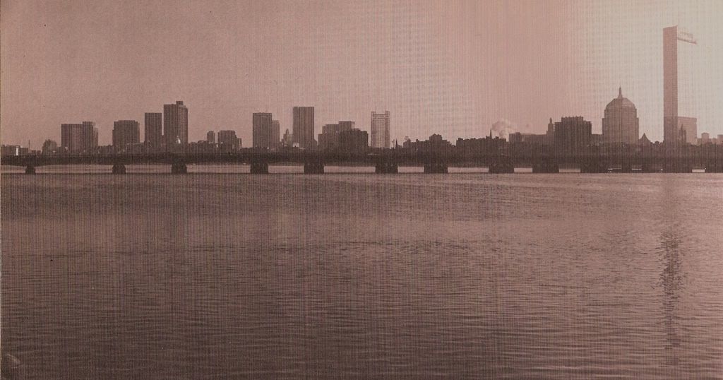
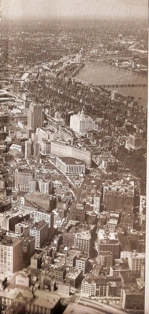
A book I forgotten I had. Some cool aerials from the 70's


- Joined
- May 25, 2006
- Messages
- 7,034
- Reaction score
- 1,875
Oh hells yeah! I have that book lying around here somewhere. Great stuff, thanks for posting it.
Man, we often think development is slow here in Boston, but if you look at how much the city has changed and how much growth and in-fill there's been since the 70's (granted, it's 30+ years at this point), it's just amazing. I think we fail to recognize all the small, incrimental developments and improvements that have taken place in that time (decking over the Pike, Copley Place, the Pru, the SW Corridor Park, waterfront development, increased office and residential space in Back Bay, etc.). Count me among the few who think Boston is better than at any time in my life.
Boston02124
Senior Member
- Joined
- Sep 6, 2007
- Messages
- 6,893
- Reaction score
- 6,639
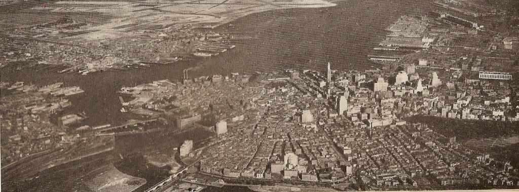
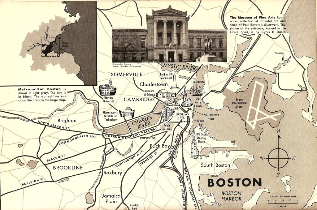
found these in an old encyclopedia from 1964


Boston02124
Senior Member
- Joined
- Sep 6, 2007
- Messages
- 6,893
- Reaction score
- 6,639
nice pix's thanks!
- Joined
- May 25, 2006
- Messages
- 7,034
- Reaction score
- 1,875
*sigh* there goes my productivity.
Boston02124
Senior Member
- Joined
- Sep 6, 2007
- Messages
- 6,893
- Reaction score
- 6,639
great pix's the 2nd one make
's downtown look really dense.
's downtown look really dense.
J
johnpaul5
Guest
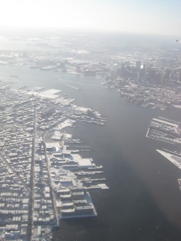
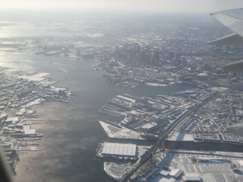
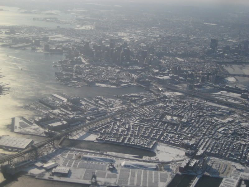
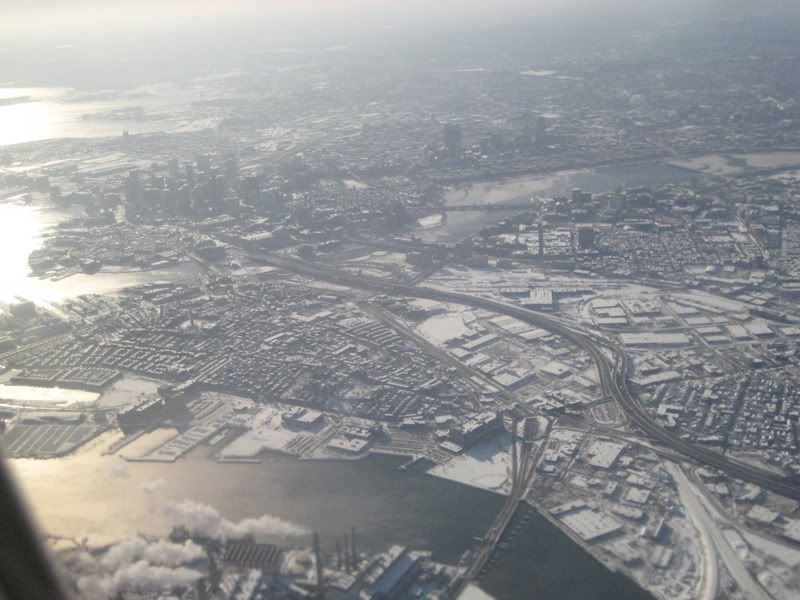
The third one seems to suggest that there are lots of potentially developable land south of downtown Boston along I-93.
Ron Newman
Senior Member
- Joined
- May 30, 2006
- Messages
- 8,395
- Reaction score
- 13
I think those are mostly low industrial buildings rather than vacant lots, though.
- Joined
- May 25, 2006
- Messages
- 7,034
- Reaction score
- 1,875
ooooooo sooooo pretty..... *drool*
Just a heads up, Google Earth has a flight simulator in it and with a little practice you can view Boston, and everywhere else, just like this.
Just a heads up, Google Earth has a flight simulator in it and with a little practice you can view Boston, and everywhere else, just like this.


