Allston-Brighton Infill and Small Developments

I've never understood why Comm Ave through Brighton can't support the density of retail and restaurants that Cleveland Circle, Washington Square and Coolidge Corner have on Beacon. It even looks relatively empty at Harvard Ave, and doesn't actually get moderately interesting until BU (after Packards Corner). Thoughts?
 
It could probably support it, but was historically zoned for single uses. That kind of residential/commercial segregation was becoming popular when it was developed. You see it on Beacon too, it's just that there's more dedicated commercial space there.
 
Library park in North Allston is underway. Considering my back yard looks onto it I should be able to snap a few pics.
 
Library park in North Allston is underway. Considering my back yard looks onto it I should be able to snap a few pics.

IIRC, Library Park is costing as much or more as the Greenway Parks on a sq ft basis, and yearly maintenance costs are higher than what's budgeted for the Greenway Parks.
 
^^ As long as its Harvard flipping the bill I'm cool with it. But I'm fairly sure only properties that abut it or live very close will actually use it. It's very secluded.
 
IIRC, Library Park is costing as much or more as the Greenway Parks on a sq ft basis, and yearly maintenance costs are higher than what's budgeted for the Greenway Parks.

Basically what you are saying is that the Greenway is grossly underfunded, and it shows.
 
Basically what you are saying is that the Greenway is grossly underfunded, and it shows.

I looked up the cooperation agreement that Harvard and the city signed.

Library Park is described as one acre; Harvard is to spend $3.5 million constructing it; and spend $220,000 annually for ten years maintaining it.
______________________
On another nearby (future) park, Rena Park, Harvard is to spend $1.5 million on planning and design.
 
Rena Park as in Rena St? Do you have more info on that?
 
Rena Park as in Rena St? Do you have more info on that?
It is a park that would run along the south side of the Science Complex, cross Rotterdam St., and lead to an open stream (restoring an old watercourse) and drain into the Charles. I assume the watercourse would be tunneled under Storrow Dr. With Library Park, the proposed Rena Park would run almost from N. Harvard St. to the Charles River. There would also be provisions for community gardens.

See from about p. 30 on here:
http://www.allston.harvard.edu/imp/Harvard in Allston Master Plan Concepts_10.22.08.pdf
 
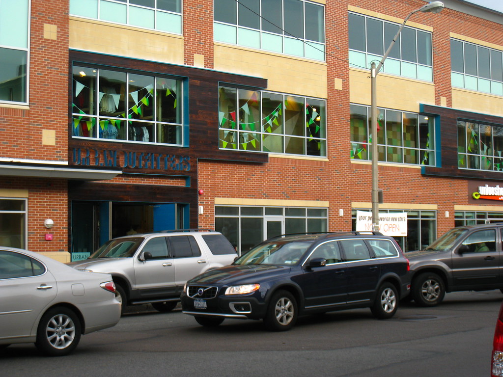
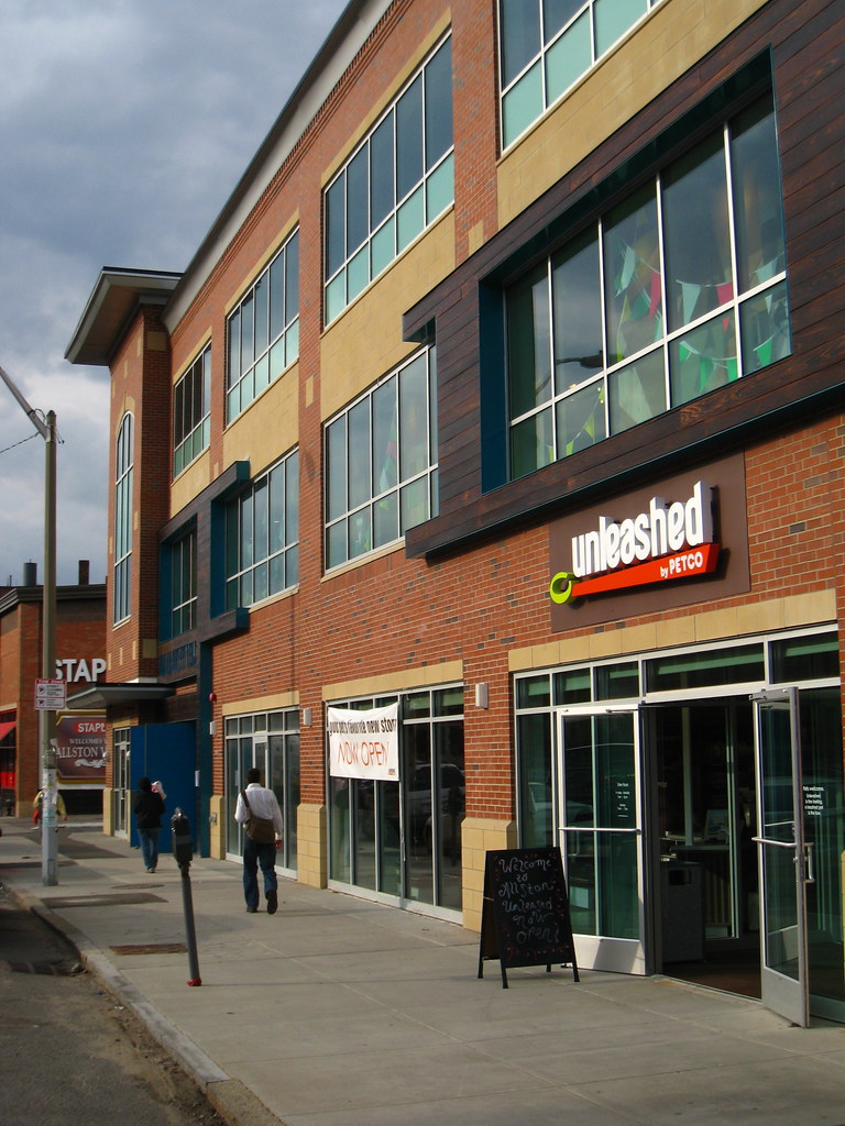
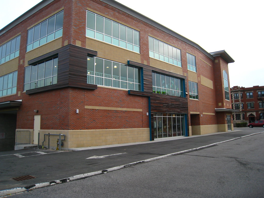
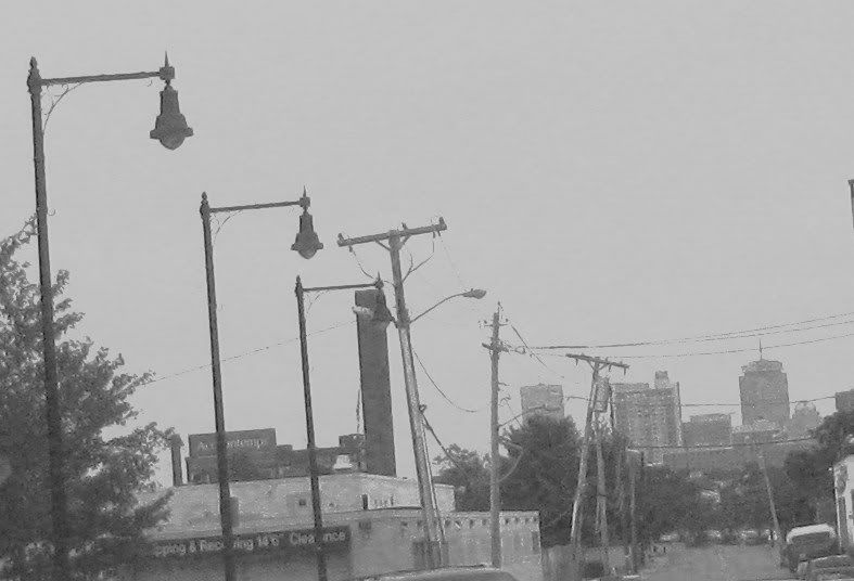
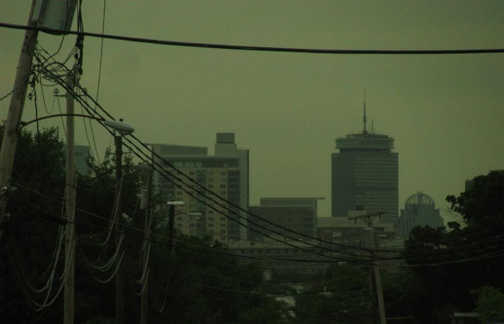
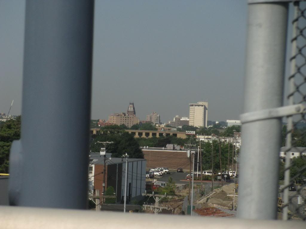
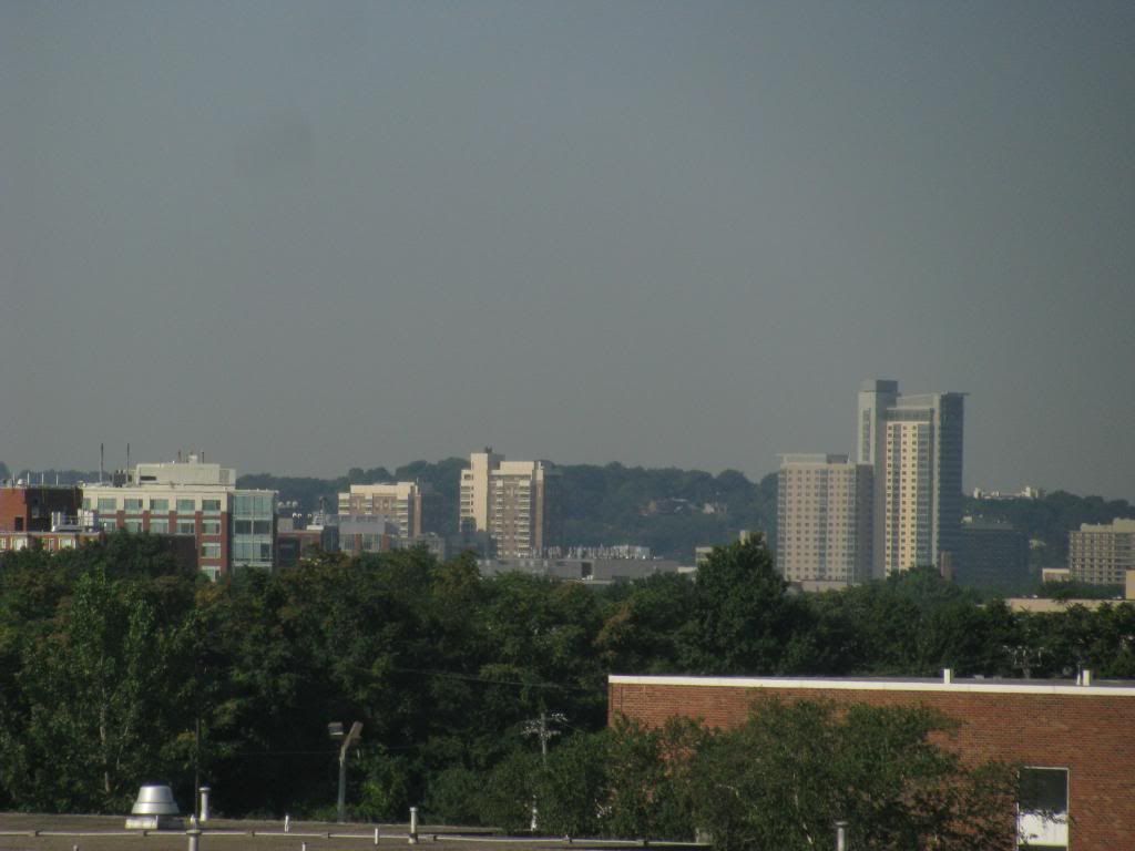
Some stuff from yesterday


4499140111_700b138570_b.jpg


4499776550_d19abffc47_b.jpg


4499141753_345c678443_b.jpg

this building just entered foreclosure and is up for auction.

http://www.realestatebostonblog.com/2010/07/auction-alert-226-harvard-avenue-allston-ma.html
 
Was there a tornado here? The utility poles appear to be listing at a 20-degree angle from the vertical.
 
Just good old American infrastructure. Thank god we don't have socialism here; an erect telephone pole is definitely not worth the inevitable gulags.
 
My guess is that's a picture of Inner Belt from 93 towards the north half of Harvard's campus. The UHaul in the pic is along McGrath.
 
Oh, yep, that's it.

For some reason I thought this was near Mass Ave or something.
 

Back
Top