You are using an out of date browser. It may not display this or other websites correctly.
You should upgrade or use an alternative browser.
You should upgrade or use an alternative browser.
Charlestown Infill and Small Developments
- Thread starter Scott
- Start date
Ginjitsuman
New member
- Joined
- Jun 13, 2008
- Messages
- 22
- Reaction score
- 0
Shucks, was hoping for 1,000 footer...
I came accross this site, don't know who's it is, but it has some old photos and postcards of Charlestown:
http://groups.csail.mit.edu/mac/users/rauch/charlestown/postcards/all.html
http://groups.csail.mit.edu/mac/users/rauch/charlestown/postcards/all.html
Last edited:
Boston02124
Senior Member
- Joined
- Sep 6, 2007
- Messages
- 6,936
- Reaction score
- 7,088
^ thanks lots of interesting photo's!
Boston02124
Senior Member
- Joined
- Sep 6, 2007
- Messages
- 6,936
- Reaction score
- 7,088
yesterday
 drive by
statler
Senior Member
- Joined
- May 25, 2006
- Messages
- 7,944
- Reaction score
- 562
Banker & Tradesman - January 11, 2010
BRA May Nix Permits For Charlestown Condo Project
By Paul McMorrow
Banker & Tradesman Staff Writer
01/11/10
The Boston Redevelopment Authority is preparing to yank development permits from a stalled 85-unit residential project in Boston's Charlestown neighborhood.
According to a draft agenda for tomorrow evening's BRA board meeting, the authority is seeking to pull an LLC controlled by New York developer Martin Oliner off Pier 5, a 3.8-acre waterfront parcel situated in the Charlestown Navy Yard.
Oliner and the BRA battled in court over several Navy Yard parcels in the early part of the decade. Since late 2004, he has been permitted to build a five-story building containing 85 condominiums and 10,000 square feet of retail.
Boston's luxury condo boom came and went without any action on the pier's aging pilings, which abut the Flagship Wharf luxury condo development and feature sweeping views of the city skyline.
If the de-designation is approved, the parcel will go out to bid again.
BostonUrbEx
Senior Member
- Joined
- Mar 13, 2010
- Messages
- 4,346
- Reaction score
- 140

Very, very rough. Did it in paint as just something to spring off of.
Basically, deck over Rt 99 from the bridge until some point near Community College.
Ron Newman
Senior Member
- Joined
- May 30, 2006
- Messages
- 8,395
- Reaction score
- 14
what plan is this from, and what do the colors mean? What current businesses or industry would this displace?
BostonUrbEx
Senior Member
- Joined
- Mar 13, 2010
- Messages
- 4,346
- Reaction score
- 140
It's my plan. The best plan!
Brown is commercial and/or residential. Yellow is industry/commercial. Green is parks/plazas/whatever. Orange is MBTA properties.
This would displace everyone in the area through eminent domain, but they will not receive reimbursement. They will be jailed for life if they show any signs of revolt or NIMBYism.
Ok, not really. But this does displace some non-residential places to the south of the square.
Lurker
Senior Member
- Joined
- Jun 13, 2006
- Messages
- 2,362
- Reaction score
- 1
http://www.cityofboston.gov/transportation/rutherford/
Rutherford Avenue / Sullivan Square Design Project
The scope of design work for this project is to prepare a preliminary roadway design for the Rutherford Avenue Corridor and for Sullivan Square. The design will focus on developing a pedestrian friendly environment with safe crossings and better access to parks and Orange Line stations; routing regional traffic away from the corridor and creating neighborhood scale streets; providing links to the regional bicycle network; creating parcels for development and open space; and developing a phased implementation plan.
Boston02124
Senior Member
- Joined
- Sep 6, 2007
- Messages
- 6,936
- Reaction score
- 7,088
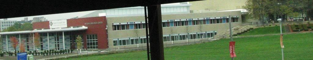
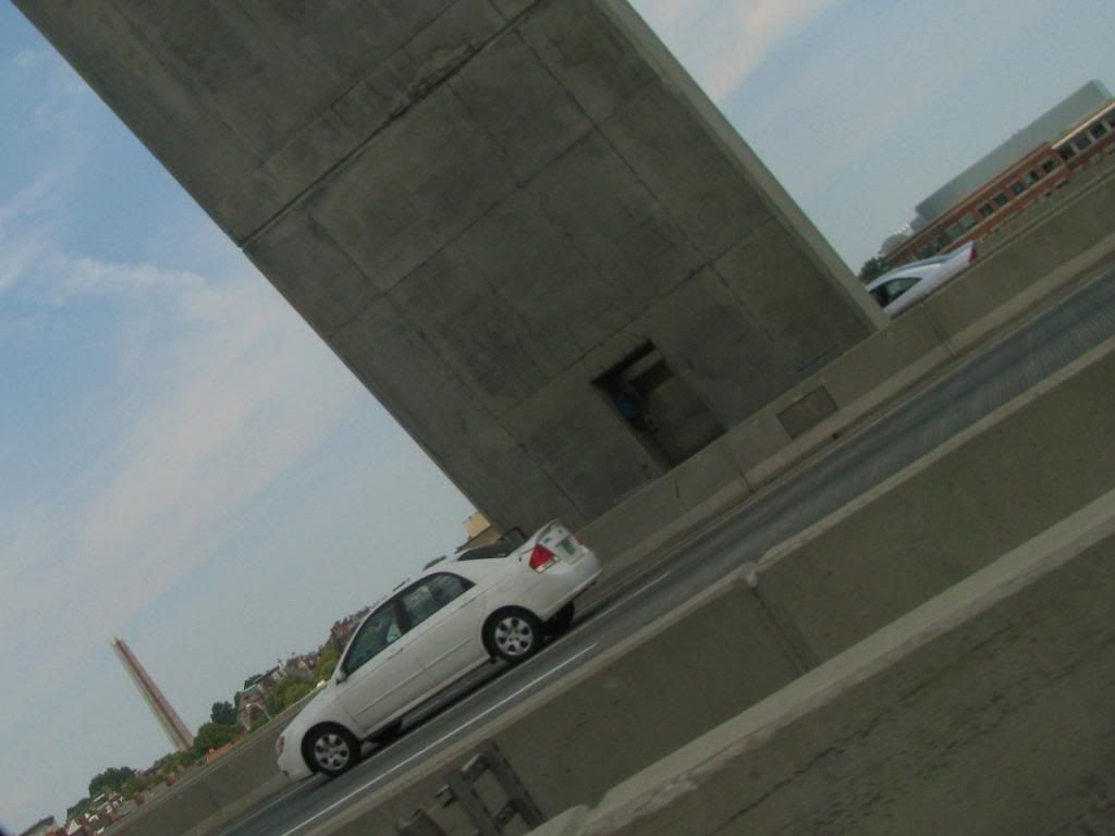
today from 93 so.
BostonUrbEx
Senior Member
- Joined
- Mar 13, 2010
- Messages
- 4,346
- Reaction score
- 140
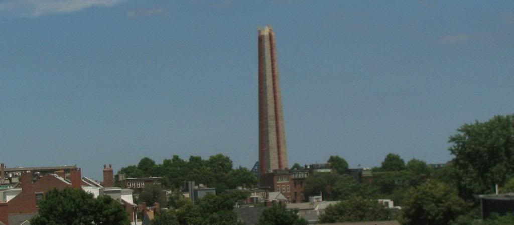
What's going on with the Monument?
http://www.nytimes.com/interactive/2010/07/04/travel/20100704-labordayvign-interactive.html
"though it will close this summer for repairs."
Ron Newman
Senior Member
- Joined
- May 30, 2006
- Messages
- 8,395
- Reaction score
- 14
Didn't it close a year or two ago for repairs also?
Boston02124
Senior Member
- Joined
- Sep 6, 2007
- Messages
- 6,936
- Reaction score
- 7,088
yes I remember that! this morning
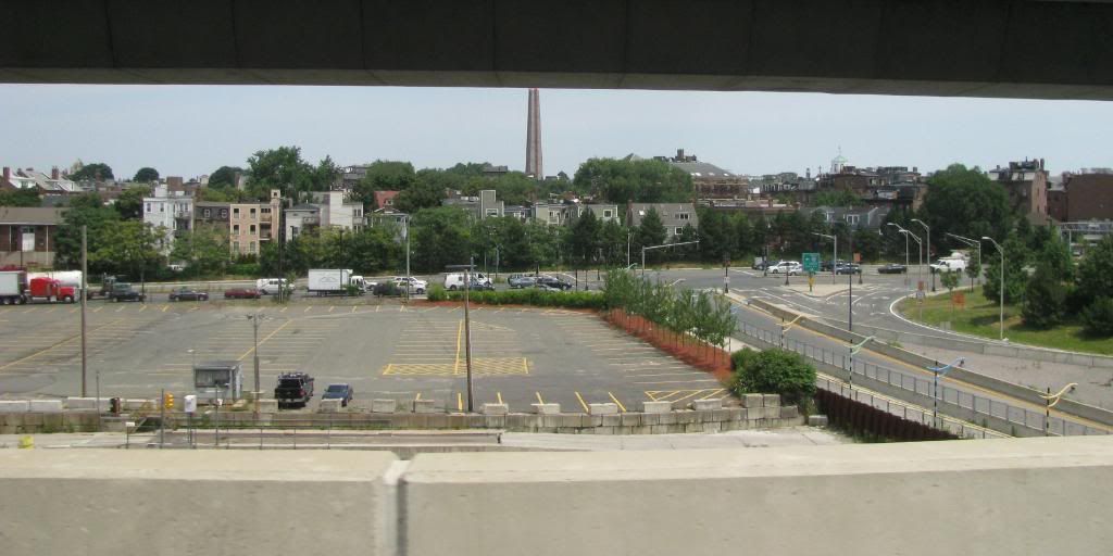
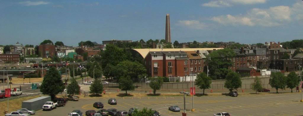
What a depressing waste of land! ^ ^
Boston02124
Senior Member
- Joined
- Sep 6, 2007
- Messages
- 6,936
- Reaction score
- 7,088
^ I thought the same thing also! Anyone know if this was ever developed or always vacant?
A lot of urban Charlestown disappeared along with or just after the West End and Scollay Square, and the anticipated Orange Line relocation was particularly corrosive. The vasty spaces of Government Center pointed clearly to the future.
Ron Newman
Senior Member
- Joined
- May 30, 2006
- Messages
- 8,395
- Reaction score
- 14
What parts of urban Charlestown were torn down, and what was put up in their place? I thought Bunker Hill Community College was built on old rail yards or industrial area.
gooseberry
Active Member
- Joined
- Nov 24, 2009
- Messages
- 550
- Reaction score
- 3
Isn't that parking lot landfill? Those house in the background is where the shore line used to be, or that's what I thought.