Eli Lilly IGM | 15 Necco Street | Fort Point

51884863514_fee2387a17_b.jpg
 
Renamed thread now that Eli Lilly has said that they're the occupant
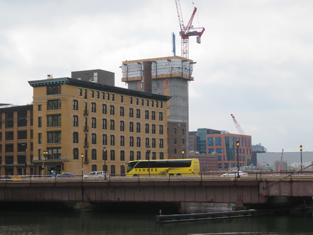
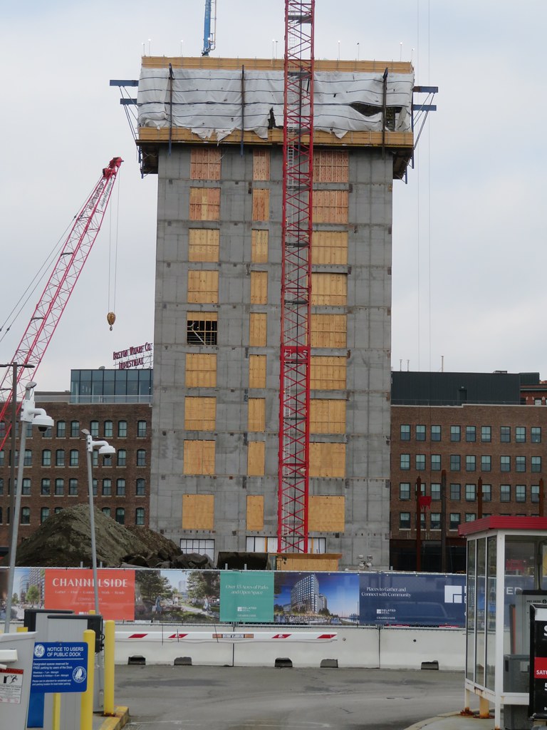
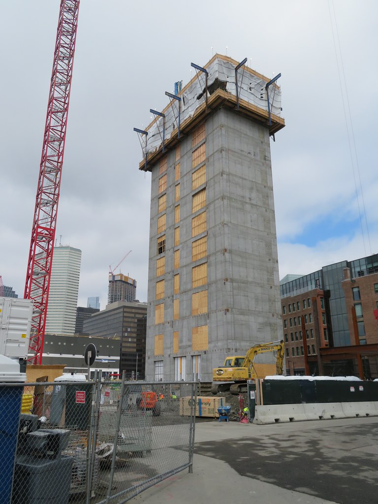
According to the announcement, Eli Lilly plans to lease space in a new 12-story building being developed by Alexandria Real Estate Equities, Inc. that's expected to be ready for occupancy starting in 2024. That developer's only project under construction in the Seaport is the 12-story building at 15 Necco Street, which was originally expected to house a new headquarters for General Electric.
 
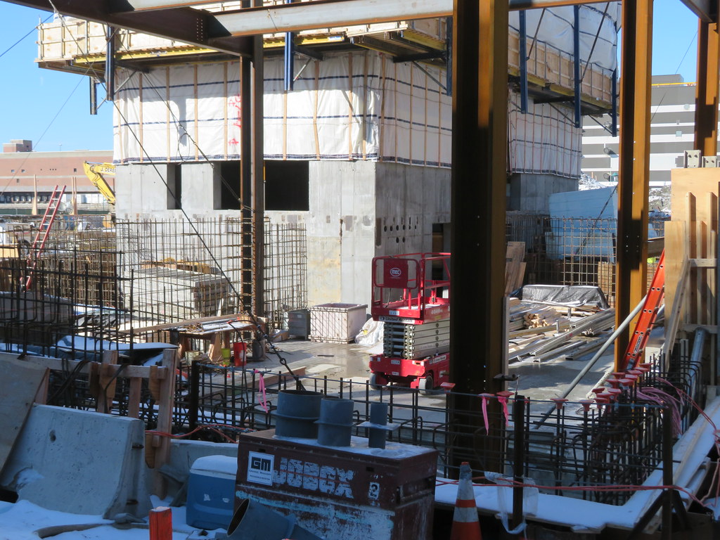
They doing up-down construction here or this thing really being built without a basement?
 
It looks like the 'basement' might just be for the elevator pits.

Maybe (looks slightly bigger than that though), my point was just to confirm via the design package that there's not much of a basement planned for this building. But it's also not aggressively designed to be floodproof either. The latter would look like a somewhat elevated ground level and with no back of house/mechanicals whatsoever below grade. Also, they'd surely be touting it's floodproofness in design materials if that were the case, which they do not appear to be.
 
But it's also not aggressively designed to be floodproof either. The latter would look like a somewhat elevated ground level and with no back of house/mechanicals whatsoever below grade. Also, they'd surely be touting it's floodproofness in design materials if that were the case, which they do not appear to be.
All the new buildings planned along this stretch are significantly raised above the elevation of the older stuff here and above Fort Point channel. All those stairs and risers and planters in the landscaping renders are (well-designed) subtle ways of hiding the fact that the ground floor here will be close to a full story above the height of the traditional path along the channel. I'd say that this project is indeed "aggressively designed to be floodproof" but the quality of the design hides that "aggression" and makes it not read as "aggressive" in the traditional sense.

It's really pretty striking to walk along here and pay attention to the raised seawall and all the new planters (even around the current GE building) and the increased grade in the Harborwalk. It's pretty clear in person how much this area has been raised in recent years, and continues to be raised with each new project. The outdoor patio at Lolita behind the older buliding on Summer St, for example, will have to be probably chest- to neck-deep in water before a drop touches the ground floor of this new Eli Lilly building.

You and I have quite different definitions of aggressive then. This, IMO, is not aggressively designed to be floodproof. It is modestly designed with a few basic mitigations in mind. Which makes sense from a marketing and near-term investment standpoint.

And, no, it most definitely isn't "striking" to be walking along there. You'd need to really know what you'd supposed to be looking for to even notice anything.

This is a 50year building, not a 100year building. And that's fine; I hope other measures will be taken so that the 100 year outlook drastically improves in parallel.
 
Last edited:
You and I have quite different definitions of aggressive then. This, IMO, is not aggressively designed to be floodproof. It is modestly designed with a few basic mitigations in mind. Which makes sense from a marketing and near-term investment standpoint.

And, no, it most definitely isn't "striking" to be walking along there. You'd need to really know what you'd supposed to be looking for to even notice anything.

This is a 50year building, not a 100year building. And that's fine; I hope other measures will be taken so that the 100 year outlook drastically improves in parallel.
The current FEMA Special Flood Hazard Area (SFHA) base flood elevation here (corresponding with the water elevation of a 100-year flood, or a 1% chance of flooding in any year) is 16.5'. To be safely clear of this FEMA 100-year flood level, the Climate Ready South Boston Report recommends a 20.5' flood barrier along this stretch of Fort Point Channel. This project is being built with a minimum level of flood protection at 21'. The ground floor elevation of the building itself is at 20.5', and the landscaped floodwall along the front of the building is at 22'. I don't know the elevation of the old seawall along Fort Point Channel, but if I had to guess I'd say it was probably more in the area of 10'.

Are FEMA BFEs expected to increase in future years? Yeah, for sure. But this building is taking that into account. Even if a future storm floods this area 4 feet above a current 100-year storm, this building will stay dry.

I maintain that the new buildings along this stretch are being designed with low-key smart resiliency that doesn't jump out in your face but is sneakily still there when you start paying attention and looking for it.
 
The planned base of the Pinnacle is 21 feet, or about six feet higher than the highest observed tide in Boston (15.1 feet).
 
The current FEMA Special Flood Hazard Area (SFHA) base flood elevation here (corresponding with the water elevation of a 100-year flood, or a 1% chance of flooding in any year) is 16.5'. To be safely clear of this FEMA 100-year flood level, the Climate Ready South Boston Report recommends a 20.5' flood barrier along this stretch of Fort Point Channel. This project is being built with a minimum level of flood protection at 21'. The ground floor elevation of the building itself is at 20.5', and the landscaped floodwall along the front of the building is at 22'. I don't know the elevation of the old seawall along Fort Point Channel, but if I had to guess I'd say it was probably more in the area of 10'.

Are FEMA BFEs expected to increase in future years? Yeah, for sure. But this building is taking that into account. Even if a future storm floods this area 4 feet above a current 100-year storm, this building will stay dry.

I maintain that the new buildings along this stretch are being designed with low-key smart resiliency that doesn't jump out in your face but is sneakily still there when you start paying attention and looking for it.

Jumbo, I appreciate all of the additional background and the thoughtful reply. Given this, and how you've framed your last two sentences, I am onboard.
 
Last edited:

Back
Top