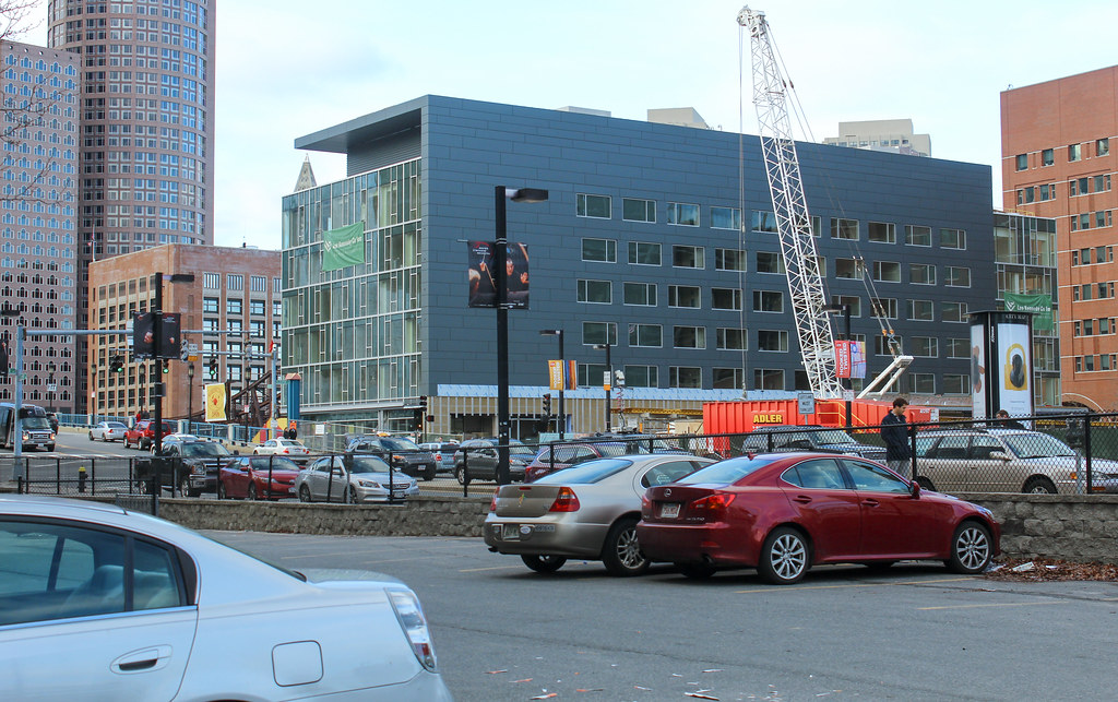
Seaport Square (Formerly McCourt Seaport Parcels)

Sounds like him. Good points as usual for him, and I usually agree with 80-90% of his posts and opinions. The other people commenting of course are the real highlight. I could read people like parkslover for hours.

The poster, Geolovely, takes the cake for me and I have always thought he/she is a poster here. And yes, Steve 2222, I would agree, is Sicilian.
 
The poster, Geolovely, takes the cake for me and I have always thought he/she is a poster here. And yes, Steve 2222, I would agree, is Sicilian.

Geolovely is my arch nemesis on the Globe comments. I'm nearly certain he doesn't post here, unless he writes with a very different tone than on the Globe.

While I almost always disagree with him, he's actually not a complete idiot. I believe he is retired from some design/building profession. I think he has some cause/effect relationships backwards and that is why we always disagree on how to achieve the same goal. In any case, his smug condescending attitude makes him impossible to have a civil argument with.
 
Not to nitpick his comments (which weren't made here, after all), but 100 units/acre is not the minimum for urban density. As shown at this link, the Back Bay has an overall density of 30 units/acre and up depending on which area you look at:

http://www.lincolninst.edu/subcenters/visualizing-density/tour/t4.aspx

100 units/acre is Brooklyn density, and you're not going to achieve it in a mixed-use neighborhood. Also, units/acre is different from residents/acre.

Many of his other points are very good, especially the one about the lack of civic structures. Honestly, though, since most of the development has been the cash cow commercial portions of these master-planned projects, it's tough to judge what the neighborhood will be like when the residential development has occurred.
 
Here's a Paul McMorrow's piece in the Globe(Coming soon: neighborhood feel in Seaport):
http://www.bostonglobe.com/opinion/2014/12/15/coming-soon-neighborhood-feel-seaport/AzXwVUvN5rdvi4HFzUSzSM/story.html

It's weird but I found myself agreeing with him and also with his main critic in the comments Steve2222.

There is something terribly wrong in his math. 100 units per acre would mean upwards of 100,000 people per square mile. Not that there aren't places with such densities, but I hardly think it fails as urban space if it achieves something significantly less. By that metric, hardly anywhere in Boston would qualify as urban. Even 100 people per acre would be significantly higher than most places in Boston (64,000 ppsm).
 
Acres always seem so abstract to me....
But, Boston is one of like 6 major cities in America that has a density of greater than 10,000 people/square mile. That seems like a good goal to shoot for as far as maintaining that. If the Seaport area as a whole is about 1 sq. mile. I think that takes us basically all the way to Broadway however as mentioned in the comments section, so some of these residents do exist currently.

5,000-10,000 residents would make a fairly urban neighborhood. And would require somewhere between 2,000- 3,800 units for 5,000 residents, or 4,300 - 6,700 units for 10,000 residents.

The low end of units is based on the average Boston household size of 2.31 persons per unit, which I think we all agree is not what the Seaport will see. So for the high end of units I made up a factor of 1.3/unit for the 5,000 number and upped it to 1.5/unit for the 10,000 (you would probably see a few more family sized units if they build it on the denser side.

Right now, based on Steve(Siclian's?) current number of units of between 2,000-2,500 Seaport units, we're looking at closer to the 5,000 resident number, and not super dense for residential.

Then again, the Boston density numbers are based on the whole city, and many of those neighborhoods skew the number one way or another. Some heavily populated areas wouldn't be called mixed use, and some areas still have very low residential units.

Ultimately, if 5,000 residents were added to the area (or totaled that when including everything to the water side of Broadway from A to D), it would start to have a "neighborhood" feel to it.

I guess what it won't have is clusters of 3-5 storey residential units along a row of three or four cross streets that we see in our more classical neighborhoods, and that will be what holds it back from having that feeling. The only area I see that as possible, would be in the existing Fort Point buildings, especially between Congress and Seaport Boulevard. That could be a super sweet, tight little neighborhood, but it's currently almost devoid of any residential uses.
 
Not to nitpick his comments (which weren't made here, after all), but 100 units/acre is not the minimum for urban density. As shown at this link, the Back Bay has an overall density of 30 units/acre and up depending on which area you look at:

http://www.lincolninst.edu/subcenters/visualizing-density/tour/t4.aspx

100 units/acre is Brooklyn density, and you're not going to achieve it in a mixed-use neighborhood. Also, units/acre is different from residents/acre.

Many of his other points are very good, especially the one about the lack of civic structures. Honestly, though, since most of the development has been the cash cow commercial portions of these master-planned projects, it's tough to judge what the neighborhood will be like when the residential development has occurred.

If the Back Bay is only 30 units/acre, then 100 units/acre is actually well over Brooklyn density--it's well over Manhattan even (if including parks/open spaces). Using census data, the North of Boylston Back Bay has about 15,500 people in 0.4 square miles for a density of about 37,750 people per square mile. Brooklyn as a whole has 36,732/ppsm, though obviously there are tracts well over that in the 100,000s. Most cities in this country don't even have tracts that top 30,000.

So either the 30 units/acre measure is incorrect for the Back Bay (which I think it may be...), or 100 units/acre is absurd since that would mean you'd have to be topping 100,000 people per square mile in order to have an "urban" neighborhood. As far as I know, there are only 3 cities in the nation that have tracts that go that high: NYC, San Francisco, and Boston.
 
aren't a lot of residential units under construction?
Pier 4 - 369 units
One Seaport Square - 832 units
Watermark Seaport Square - 346 Units
22 Liberty- 109 Units

Recently Completed
Waterside Place - 236 Units
315A -202 Units
411D -197 Units

Am I missing any?

Edit
Did some Digging, Curbed Boston is saying that there are currently 2,103 units completed in the seaport, about a 1,000 under construction, and over 800 on deck.

http://boston.curbed.com/archives/2014/10/seaport-development-so-far.php

They calculate it at 4,099 units total.
 
Last edited:
SxfK6Mz.jpg


Look at what I got today. :)
 
I am also dropping pictures here because they all look the same to me.

IMG_0785_7804_zpsb1d1ac67.jpg


IMG_0786_7805_zps27471b7e.jpg


IMG_0787_7806_zps36491e0e.jpg


IMG_0794_7813_zps9c840d89.jpg


IMG_0795_7814_zps0b1fe8b6.jpg


IMG_0793_7812_zpsd7b05bcb.jpg


IMG_0800_7819_zps1805b150.jpg


IMG_0801_7820_zps084b6dea.jpg


IMG_0799_7818_zps6bde87c3.jpg


IMG_0804_7823_zps30ebbb6e.jpg


IMG_0797_7816_zpsbf669f35.jpg


IMG_0818_7837_zpsa9c68147.jpg


IMG_0819_7838_zps34c98657.jpg


IMG_0820_7839_zps04c2d376.jpg


IMG_0822_7841_zpsd1035bd7.jpg


IMG_0821_7840_zpsc44d329c.jpg


IMG_0824_7843_zps922acaf0.jpg


IMG_0823_7842_zpsb79a5509.jpg


IMG_0825_7844_zpsd4d66733.jpg
 
There are 640 acres/sqmi

Assuming 1.5 people per unit in the back bay and 30 units per acre that translatrs to about 29,000 per sqmi.

5000 units in the 1000 acre or 1.56sqmi seaport translates to about 4800 per sq mi about the same as Newton

Eventually there will almost certainly be a lot more units in the seaport
 
Part of the challenge is because the convention center and roads take up so much space it makes it even harder to reach the number of units needed. That and the bias towards commercial development.
 
Based on some articles I have read on downtown revitalization, I hear the 20,000 people figure thrown around as the target to shoot for to feel like a living, residential area. Obviously this isn't an exact science, but having 20,000 people is enough to sustain a critical mass of residential oriented business (it maybe higher in a high rent area like Boston). Assuming Seaport is 20,000 and 1 mile, that would still give Seaport a lower density than central Boston (Fenway, South End, Back Bay, DT Boston) and most of the other "living downtowns" in the county (SF, Philly, Chi, maybe Sea). But, it seems a good minimal base to shoot for.

Given that DT Boston and South Boston already have their own retail, it's unlikely seaport can count on spill over patrons from adjoining neighborhoods. But on the flip side, non-residential uses also play a role in making a neighborhood feel urban. The area has a couple museums, hotels, and offices which will make the area feel busier, more "big city" than a higher density all residential neighborhood in Brooklyn. Plus, the water will draw tourists in the nicer months.

Nonetheless, 20,000 people (@1.7/unit) = 12,000 units needed in the seaport. At current build out rates, that probably means we are 10-20 years from seeing Seaport as a seamless extension of Boston's central neighborhoods.
 
I found this pdf while trying to find out when Harbor Street would be built. It's only a partial document but has loads of info on the intentions for the various corridors.

Re: the fate of the MBTA headhouse,
The Proponent plans not only on incorporating the existing ‘temporary’ MBTA
headhouses into the development of the new buildings, but also on building a new
separate headhouse into the open space at Seaport Square Green.

Re: Harbor Street:
A new Cultural Corridor will provide a physical link from Summer Street to Seaport Boulevard via Harbor Street; the Cultural Corridor will connect the Institute of
Contemporary Art and the Boston Convention and Exhibition Center. With these
two buildings, there will be a new cultural destination in the City that will include
sculpture gardens on Seaport Hill, a performing arts and education complex on
Blocks P and N, exhibition space at Block G, arts-related retail on Block L1, public
art and performance venues on Seaport Square Green, and a branch library at Block
D. The Cultural Corridor will build on the arts identity of the neighboring Fort Point
Channel District and create a strong cultural component that will activate and
provide year-round use of Seaport Square.

The intent behind the design of Harbor Street is to provide a connection between
the higher Summer Street and the lower Congress Street both for vehicles and
pedestrians. Its function is envisioned as mainly local; it ends and provides access
in or out at Autumn Lane as a measure to discourage more rapidly traveling through
traffic from using the connection. The slope allows for loading and parking access
to take place at the ground level beneath Harbor Street, improving pedestrian
connections on Harbor Street itself. It is understood that Harbor Street will need to
undergo extensive design review with BTD and BPWD.

This pdf www.seaportsquare.com/PDFS/DPIR_EIR/1-ProjectDescription.pdf
also has lots of info and some images I hadnt before seen, including some images (Fig 1-13 and 1-14) of "Courthouse Sq" IE a very different and I must say improved Northern Ave...

Lastly, re: Parcels N and P (on both sides of the elevated junction of Summer & Harbor Sts - someone had asked about retail here in another thread),
At the opposite end of this corridor, where Harbor Street meets the elevated Summer Street, a new landmark performing arts and education complex will occupy Blocks P and N.
 
And now I finally know why they're calling that park/square "Seaport Hill." I always assumed it was just some dumb marketing campaign as the whole area is obviously flat, but no! there will be an actual change in elevation.

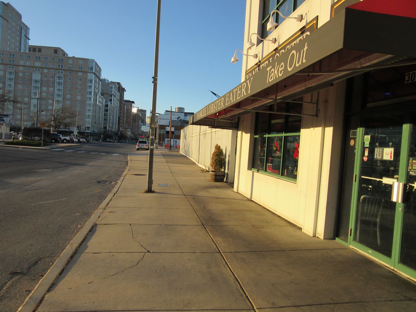
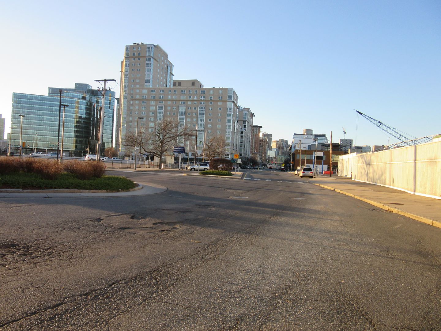
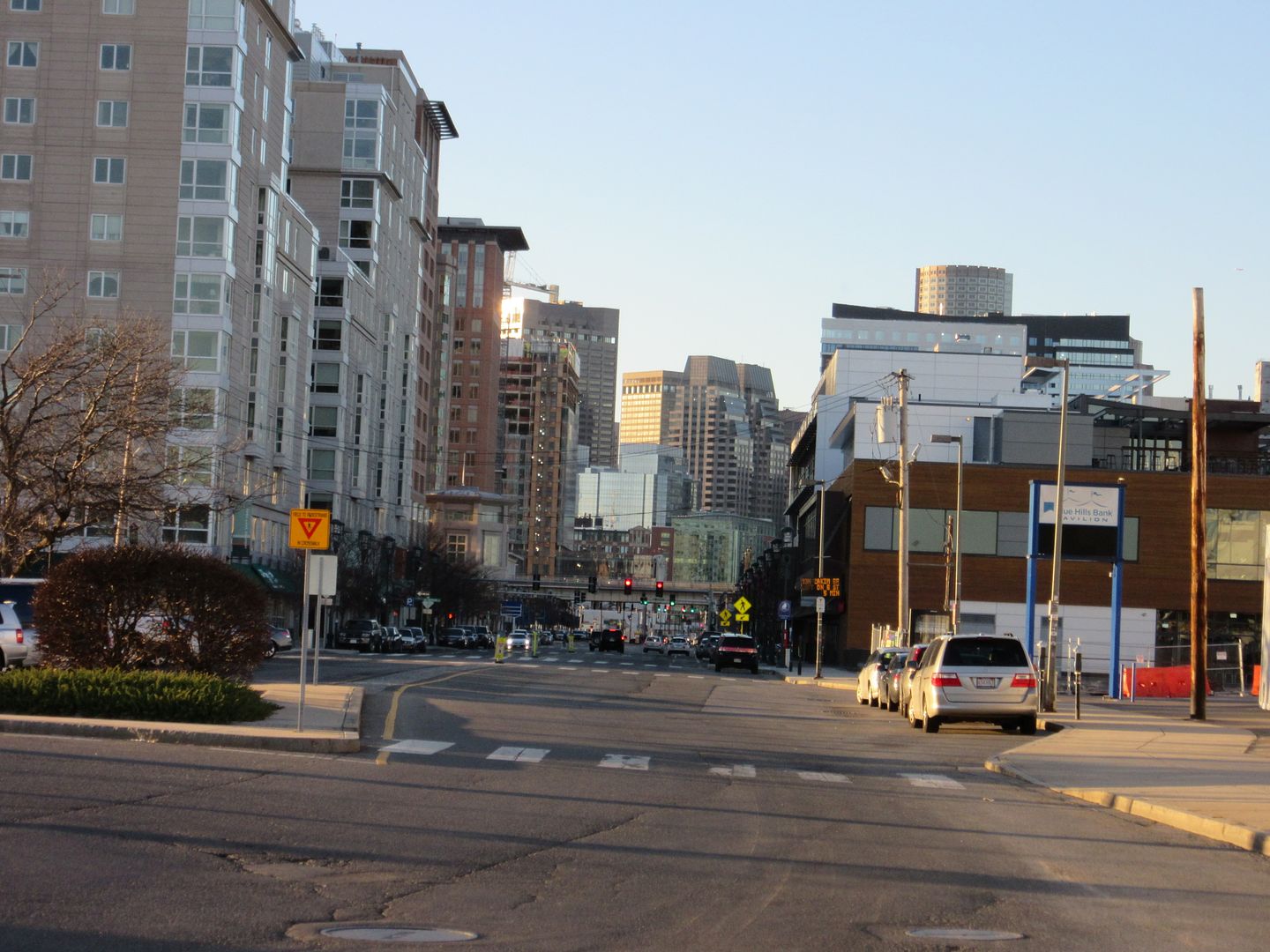
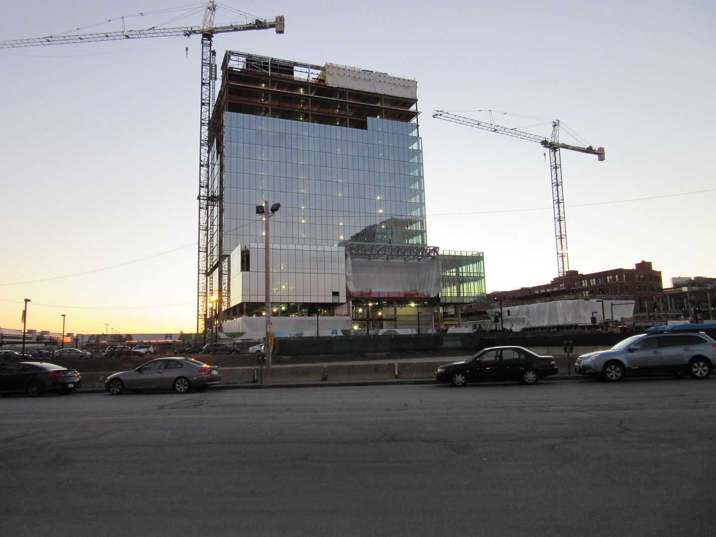
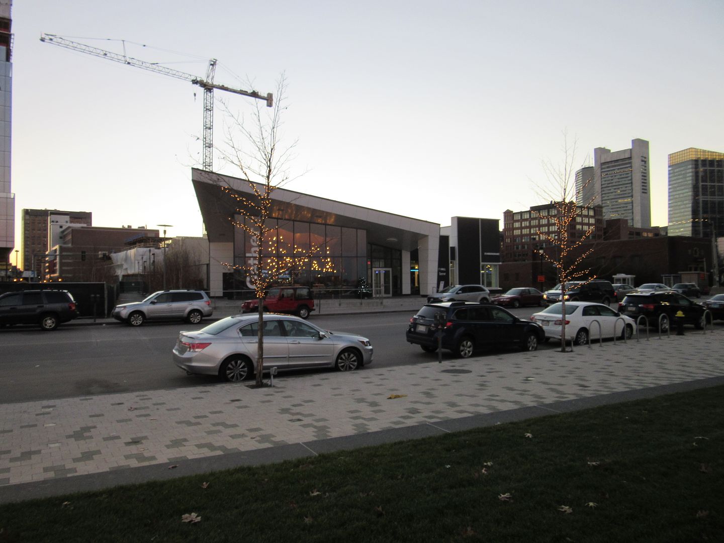
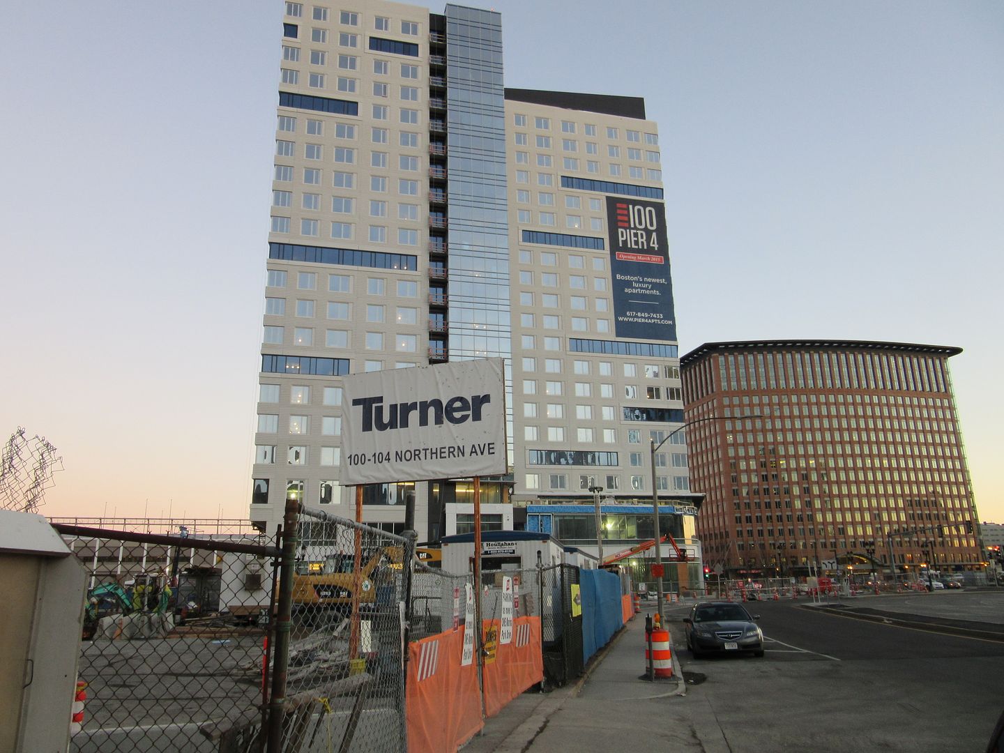
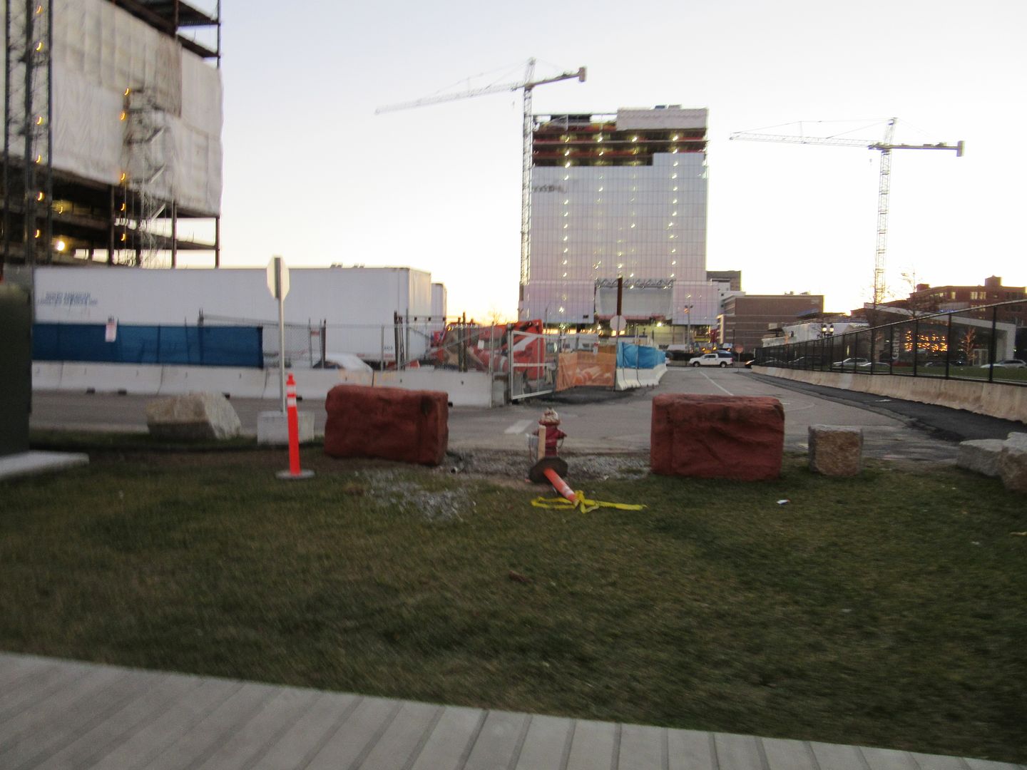
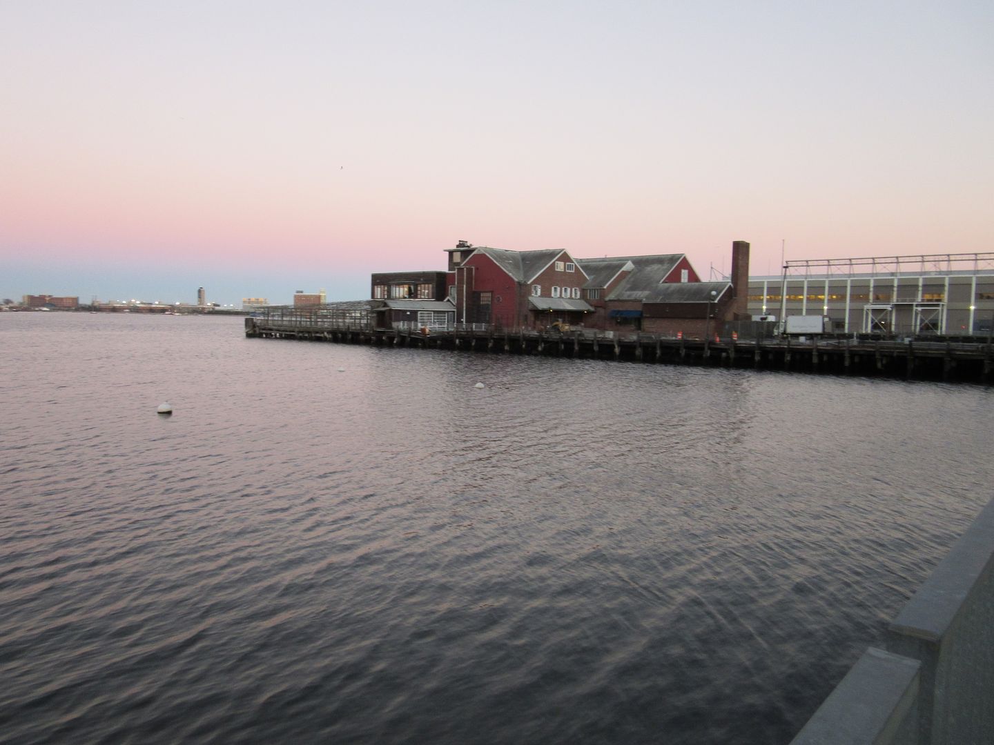
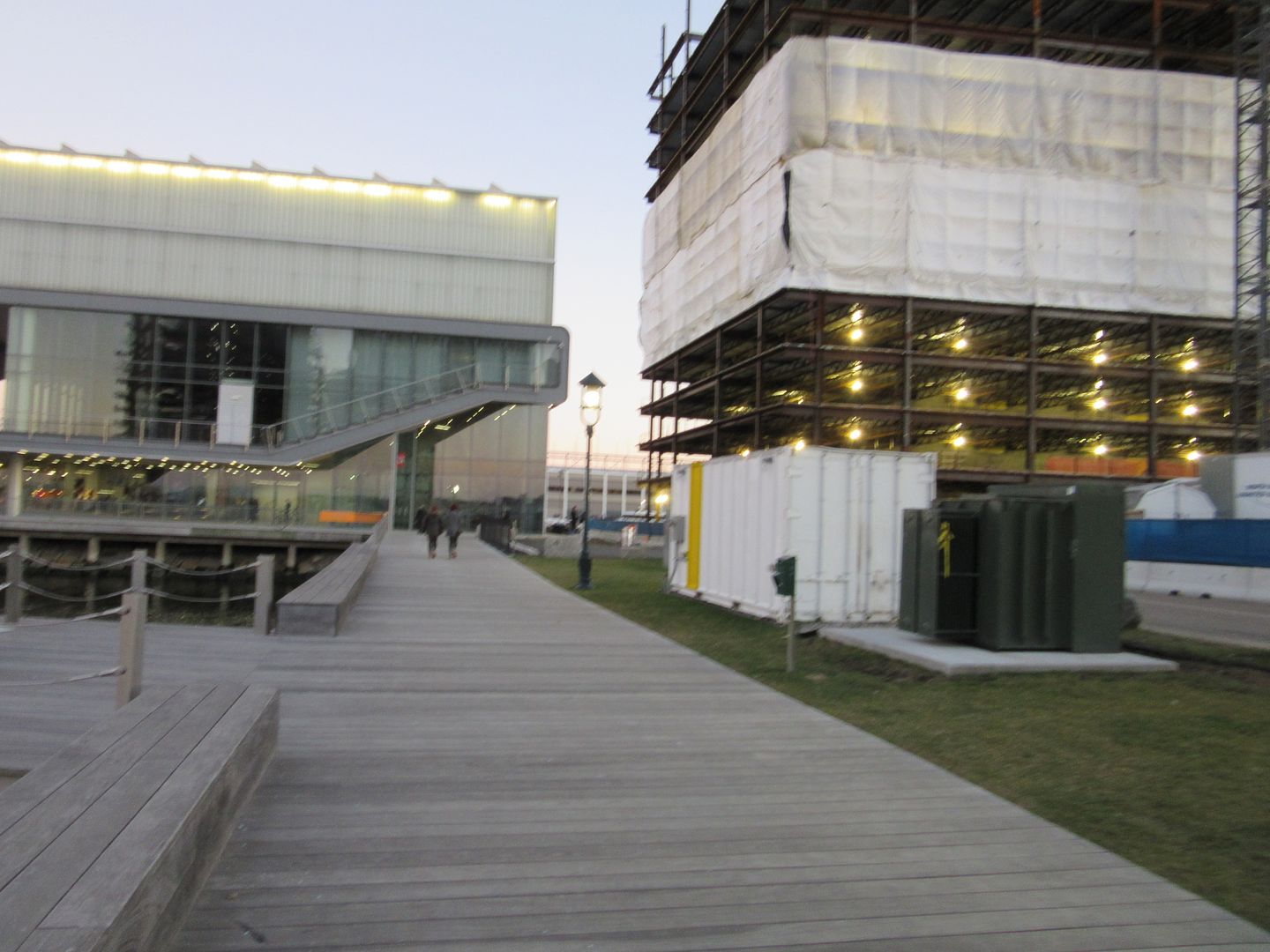
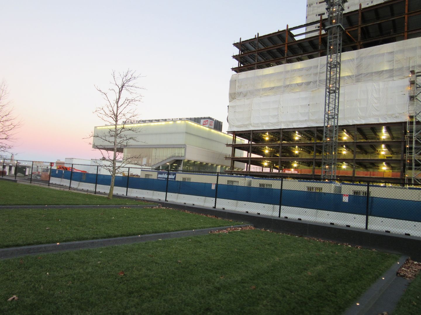
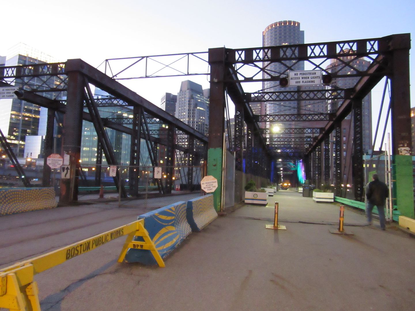
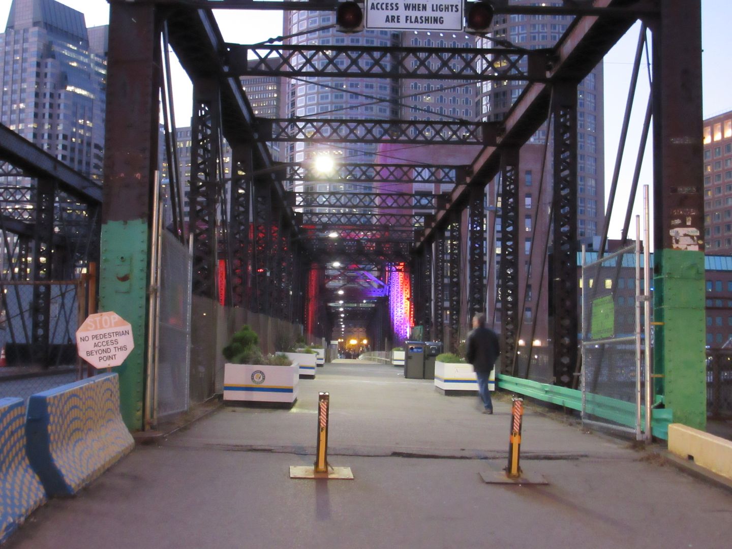
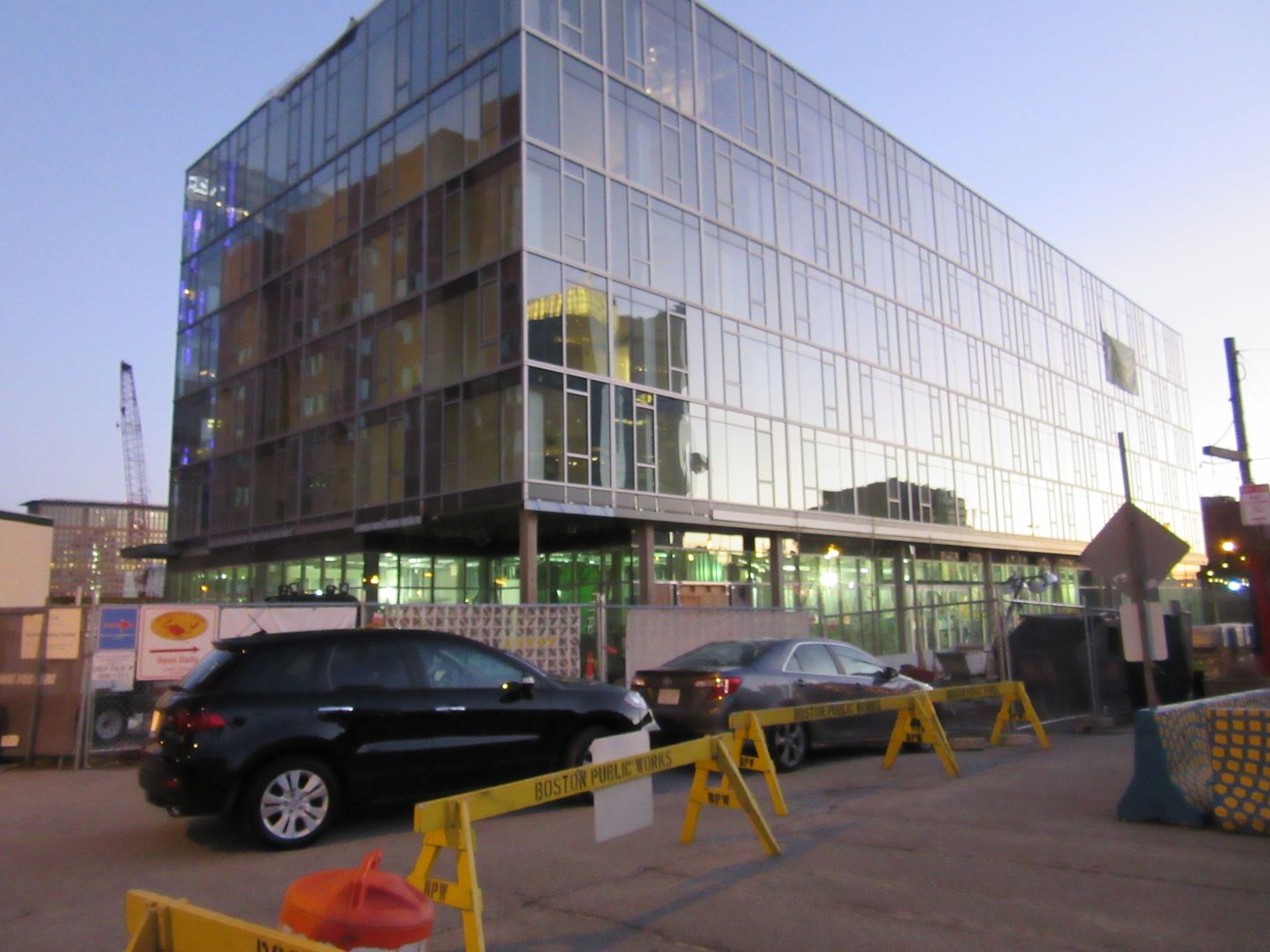
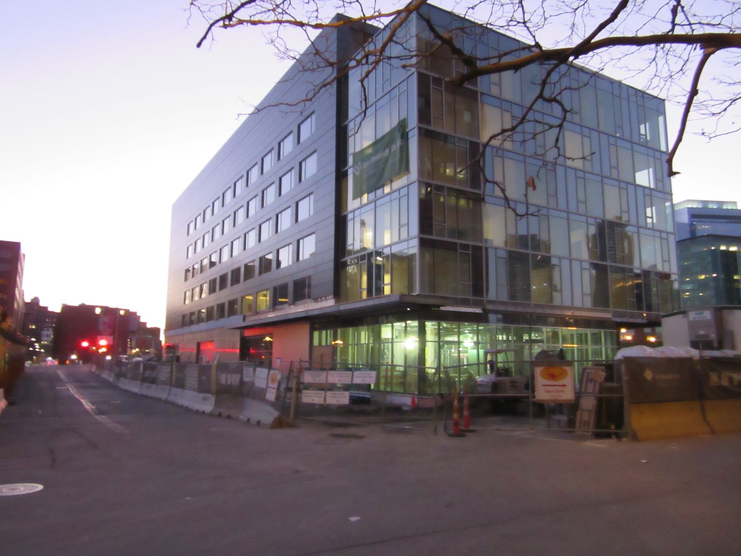
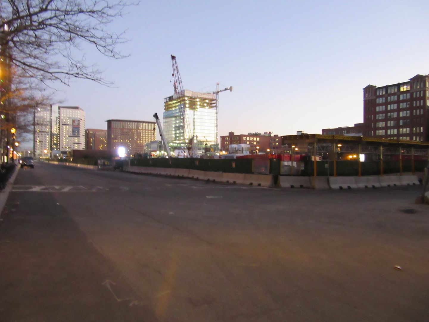
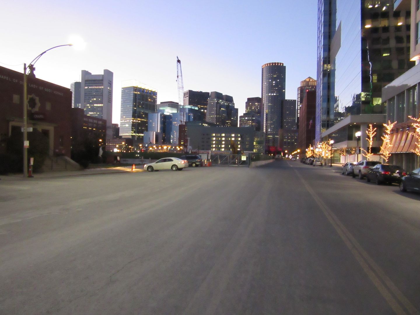
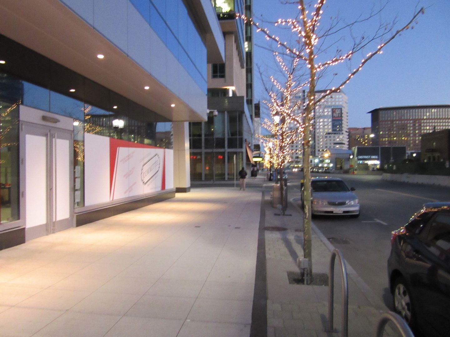
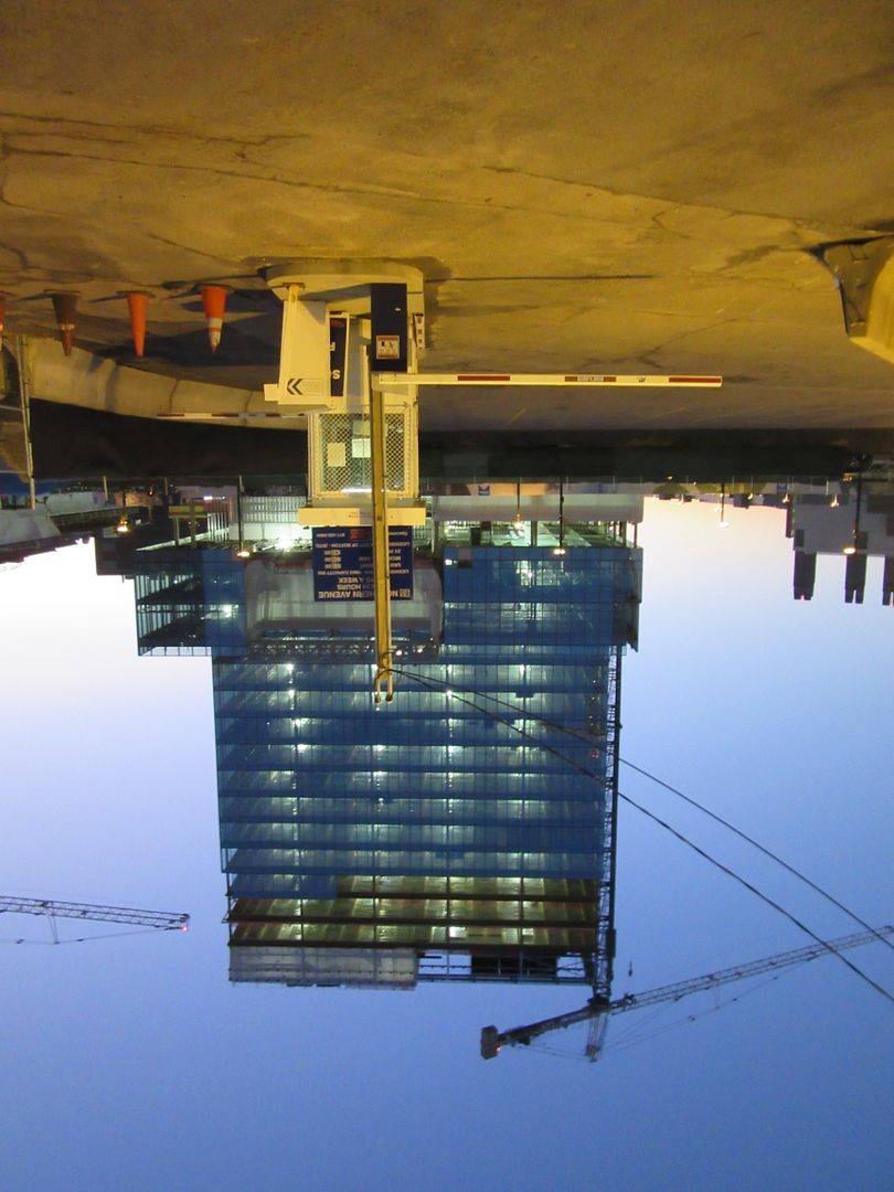
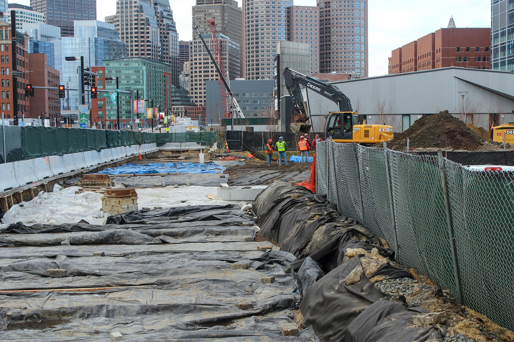
Also: photos.

 
Last edited:
There is something terribly wrong in his math. 100 units per acre would mean upwards of 100,000 people per square mile. Not that there aren't places with such densities, but I hardly think it fails as urban space if it achieves something significantly less. By that metric, hardly anywhere in Boston would qualify as urban. Even 100 people per acre would be significantly higher than most places in Boston (64,000 ppsm).

Maybe my math is arguable, but it can't be terribly wrong considering it was Jane Jacobs' standard.

What's discouraging is that I and others have been repeating the same mantra, calling attention to Seaport housing numbers, architecture, street layout, civic space, cultural planning for over 15 years, and marginalized every step of the way. We're at a point now where Boston's multi-generational housing shortfall is impacting the City's economy and (admittedly conjecture here since Seaport traffic planners dismiss this theory) the Seaport housing shortfall is proving detrimental to the Silver Line and traffic.

I would ask anyone to explain why the large financial corporations that own much of the Seaport have been allowed to spend the past decade flipping vacant lots, profiting from portfolios pumped with pre-approved development rights. Wasn't the stated purpose of awarding development rights to large landowners (21 acres, 23 acres, etc.) via Planned Development Areas (PDAs) to ensure that the public would see an urban neighborhood evolve with a balanced mix of uses, including non-commercial/civic uses, and architecture that valued its waterfront location? I'd guess $1B in profit from the sale of lots with pre-approved development rights has been siphoned from Boston before a shovel hit the ground. For what?

EDIT: Removed a snarky comment.
 
Last edited:
Jane Jacobs stated that the number she listed was slightly scaleable. She specifically mentioned the North End as a good example.
 
That Envoy is a very handsome building. As depressing as a lot of the Seaport buildings have been, good to see there's some decent (and even excellent) contemporary design happening.
 
Regarding Jane Jacobs' cited density numbers, I've done some thinking and writing about this in the past that might be enlightening.

I think the main point to keep in mind is that she always referred to "dwelling units per net acre", which is a relatively unusual metric. You need to be careful when expanding it out to larger areas, so I think it is most helpful if you stick to comparing it using small units such as census blocks.

Net acres is a metric that does not include unusable or undevelopable land. So attempting to extrapolate out "64,000 units per square mile" from 100 units per net acre isn't right, because a square mile anywhere is likely to have a great deal of unusable land. In fact it will probably translate to significantly fewer units per square mile.

Additionally, how do you translate units to # of people? Culture has changed since 1960 and it's not entirely clear that the average ratio of people to units was the same in 1960 as it is today. That's probably something you can work out from census data but it might still vary on a neighborhood by neighborhood basis. I do think that measuring dwelling units per land area is a better metric for density than measuring population per land area, though, because the latter can be fooled by overcrowding. Having a large number of dwelling units normally indicates economic strength in the neighborhood because people are probably not crowding into too few units, and can afford to have separate units instead.

Regarding the 100 du/net acre: she was careful to present her numbers with caution for the reader:
What are the proper densities for city dwellings? The answer to this is something like the answer Lincoln gave to the question, "How long should a man's legs be?" Long enough to reach the ground, Lincoln said. Just so, proper city dwelling densities are a matter of performance. They cannot be based on abstractions about the quantities of land that ideally should be allotted for so-and-so many people (living in some docile, imaginary society).

What generates urban vitality is people, and in particular, people engaging in various activities whether they be economic, cultural, recreational, or anything at all. The United States of 2014 is a significantly richer country than the United States of the late 1950s. Boston is a different place than NY, and Boston of 2014 is different from Boston of 1960. If 100 dwelling units per net acre was a good rule of thumb back then, it could easily be different today.

Jacobs cited numbers of 250 du/net acre for the North End in 1958, and recent census results seem to show it around 172 du/net acre on several census blocks. Does that mean there's been a change in the # of units, or a change in the way measurements were made? No way to know. But we do know that the North End remains a successful neighborhood.

With this in mind, on my map, I accepted densities of 60-80 dwelling units/net acre as being borderline urban, because it seemed to fit the census data available for Boston as of 2012.
 
And now I finally know why they're calling that park/square "Seaport Hill." I always assumed it was just some dumb marketing campaign as the whole area is obviously flat, but no! there will be an actual change in elevation.

Also: photos.


so many empty lots still to be developed!!!
 

Back
Top