TheRifleman
Banned
- Joined
- Sep 25, 2008
- Messages
- 4,431
- Reaction score
- 0
Filenes Site
Filenes Site
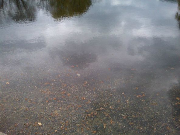
Public Garden lagoon, today:
^^ The true sign that the Boston winter is finished. ^^


We can make this one harder by asking "what are the track numbers?" and "what year"?


We can make this one harder by asking "what are the track numbers?" and "what year"?
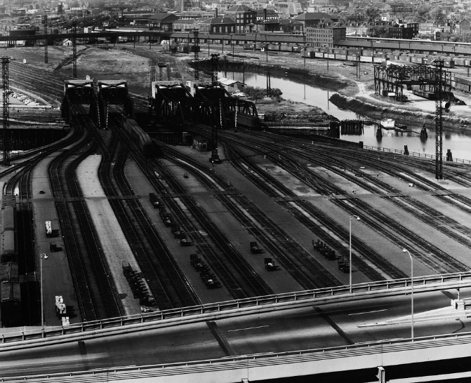
This looks like the North Station platform area as viewed from the top/backside of the old Boston Garden. 4 drawbridges seem to clinch it, but where is Tower A? In the foreground is the old ramp from Leverett Circle to the elevated Central Artery (Fitzgerald). (c. 1951?)
If it is late enough to have an Artery ramp, where are the (stainless steel) RDCs? Why only dark colored trains?
Also how many numbered tracks were in service at North Station? Is that Track 1 on the far right (or some unnumbered track to the piers?) to track 23 on the far left? (with about 10 tracks later "taken" for Spaulding Rehab I)
Silverlight isn't working on my machine or I'd have already compared this to historicaerials.com