I honestly don't know which map is right or wrong. If walking between them a lot is proof though, then well, I used to work at 211 Congress St. which requires me to walk past both MT and WT and 20-30 ft looks plausible to me, especially when the increase in elevation is very gradual, so I don't know what else to tell ya.
Here's a more exact way to do it, using the FAA determined starting heights.
Winthrop Square is at a site elevation of 19'. Add 691' and you have 710' above mean sea level to the roof. Note that the 758' is for the original proposal before it was cut, but if you search the archives on this site for 2017 Boston and order it by height you'll see these all correspond to Winthrop. You can also click "determination" and scroll down to see a map.
Millennium Tower sits at a site elevation of 32', but that's from Washington Street, where it rises 677' from the ground, which combined is 709' above mean sea level. These 2 links below will work together to show that the 32' must be from Washington because there's a 24' one that would be from Hawley. These can be found by searching the archives for 2013 Boston.
677' from 32' starting point.
666' from 24' starting point. (note there's also a 648' from 26' so it looks like a 35' total height difference from the highest corner (709' amsl) to the lowest (674' amsl)).
So now what we are looking at is a 710' amsl flat roof for Winthrop vs the 709' amsl top corner for MT.
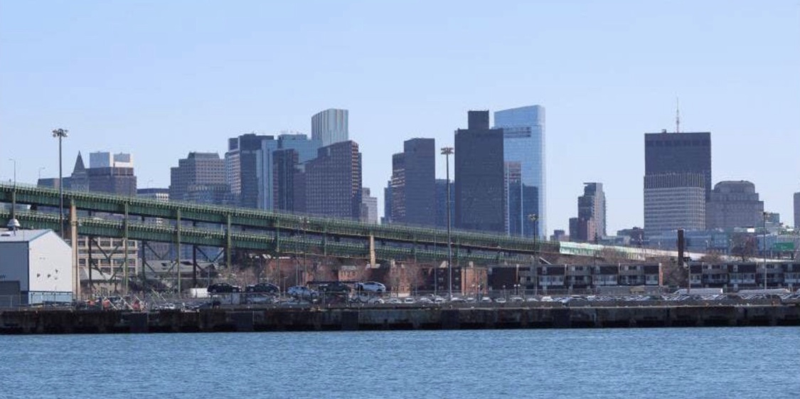
It also looks like that means it's only a 5' total slope from the bottom corner of MT down to the Winthrop Square Tower, which kind of echoes my earlier sentiment. In short, from the rare angle where these 2 are the exact same distance from you, Winthrop Square will appear just above the top corner of MT. Otherwise it will come down to whichever building is closer is the one that will appear taller in that given view. Hence, why MT looks taller in the pic Stick keeps posting above (it's a block or 2 closer!). On the other hand, Winthrop already looks taller in the stretch run before the tunnel (or on the South Station/90 ramp) when taking 93 North. Overall, Winthrop wins in a photo-finish. (and yes, there will be plenty of photos!)

 IMG_2982
 IMG_2998
 IMG_2999
 IMG_3003
 IMG_3081
 IMG_3060
 IMG_3075
 IMG_3143
 IMG_3144
 IMG_3153
 IMG_3195
 IMG_3262
 IMG_3284
 IMG_3283
 IMG_3296
 IMG_3297
 IMG_3299
 IMG_3304
 IMG_3307
 IMG_3310
 IMG_3312
 IMG_3316
 IMG_3323
 IMG_3329
 IMG_3330
 IMG_3575
 IMG_3574
 IMG_3596
 IMG_3598
 IMG_3648


 IMG_8769
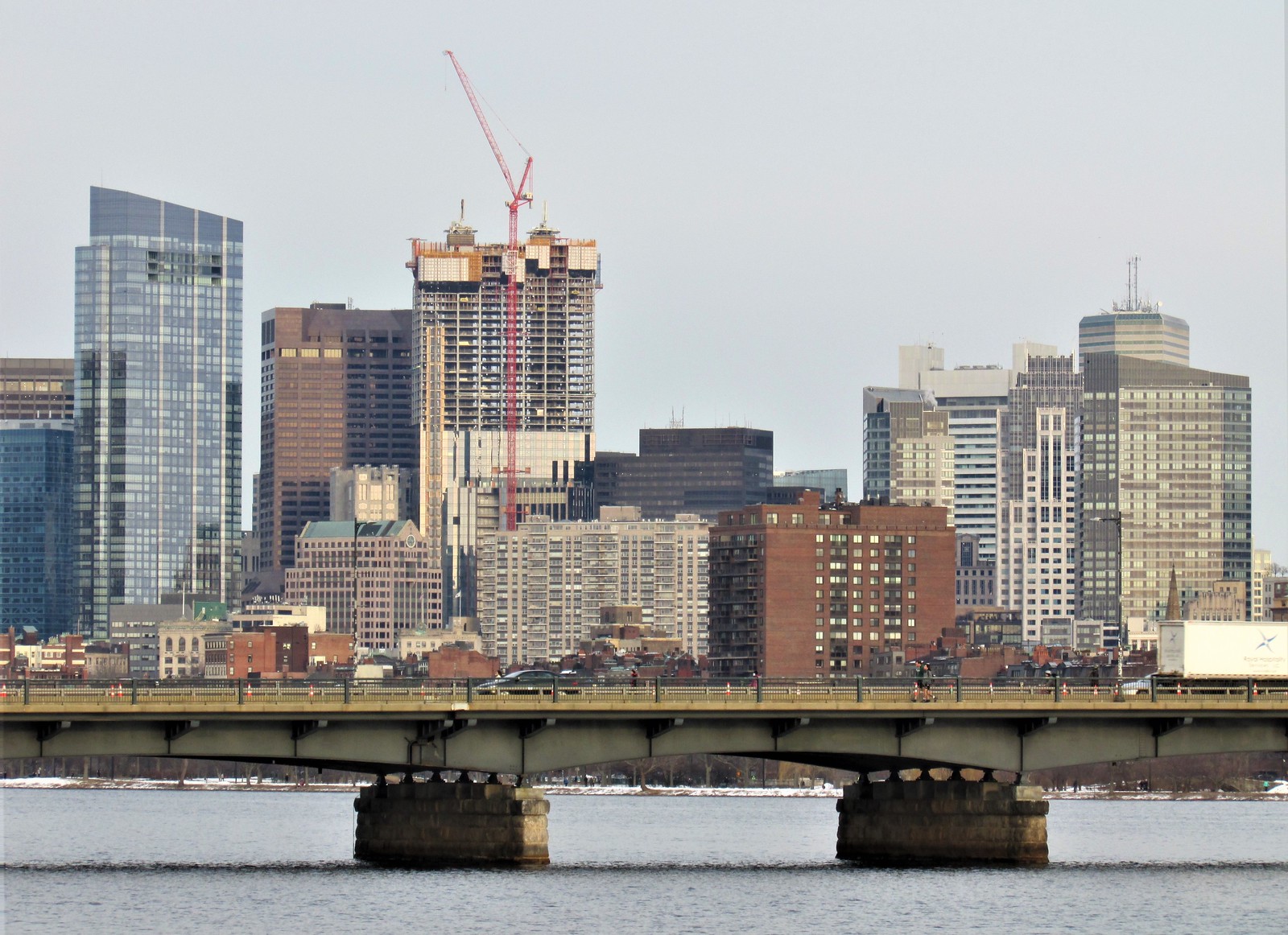 IMG_8793
 IMG_8804
 IMG_8879
 IMG_8880
 IMG_8897
 IMG_8905
 IMG_8907