Gilman is my neighborhood and I've contributed to some of the city's visioning plans for the area. Unfortunately, I'd say all the extant material is past its expiration date. The neighborhood groups the city works with for input on development consider the 2014 plan as useless since it is built around the previous T station designs that included access directly from the Medford/Pearl intersection.
Walking around the neighborhood
- Good Gas site on Medford St was nearly bought by Elan Sassoon but he backed out after the Piano Building owner threatened to sue. No real action at this point.
- Piano Building (the only historical building in the square) has an owner that lives in Florida and has owned the building for 30 years. Looking at opening up the first floor for retail. No firm plans for the next couple years.
- ABJ lot at corner of Medford/Pearl has a new owner who has proposed a few designs but nothing planned for the immediate future. The lot has some sewer pipe issues that make it difficult to do excavation.
- Homans Building lot (previously staging area for GLX construction) is owned by the city and has been proposed as mixed use, open space and a variety of Somerville community wish list items (new fire/police station, new YMCA). Currently the Y is meeting with the neighborhood association about relocating there. Won't happen for many years because of city's long-term sewer system plans that involve utilizing the site.
- Open greenspace triangle between Pearl and Medford is city owned and technically zoned for redevelopment. But there's absolutely zero plans for using the space in the near term.
So in short, there is nothing solid and active on any parcel. All just nightmares and dreamscapes.

") )
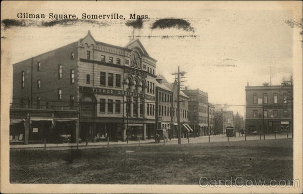
) , but there is a picture at Gilman Station of it. Quick google search found this, which may or may not be the same photo but is the same building: