For height explanation, reference my old post here #229 in this thread to see the diagrams described below.
The 647' was an estimated measurement by Odurandina based on comparing pixels across 2 diagrams, the first of the residential (with heights listed) and the second with the residential next to the office tower. The residential is listed as 547', but that's above sea level. The ground level is listed as 27', but it's difficult to decipher how the hill fits in to that measurement, as official height is taken from the lowest point. So the residential is AT LEAST 520', but more likely in the 530's, which it certainly appears to be.
The second diagram put a 647' measurement to the tip, above sea level, comparing it to the residential. Once again, that's above sea level, and might also be overstated if counting the residential as a full 547'. The office tower sits slightly lower, so it's more likely we'd be thinking the tip is about 625'-635'. However, the highest FAA point lists it as 601'. The question again becomes, did that point capture the very tip of the higher fin, and count from the lowest point on the building?
So I am of the mind that this is between 601' as the worst case scenario, and 635' as the best case scenario, with the ~625' as the likeliest case unless they did in fact reduce the fin's height from the original diagram.
State Street HQ | One Congress | Bulfinch Crossing | West End
Tim Logan article today: https://www.bostonglobe.com/business/2019/06/20/work-boston-tallest-office-building-years-has-started/oVL5wQr8kUx16movi6q2hK/story.html One Congress, a 600-foot-tall skyscraper atop the Government Center Garage, is scheduled to open in 2022 as new headquarters for State...
archboston.com
The 647' was an estimated measurement by Odurandina based on comparing pixels across 2 diagrams, the first of the residential (with heights listed) and the second with the residential next to the office tower. The residential is listed as 547', but that's above sea level. The ground level is listed as 27', but it's difficult to decipher how the hill fits in to that measurement, as official height is taken from the lowest point. So the residential is AT LEAST 520', but more likely in the 530's, which it certainly appears to be.
The second diagram put a 647' measurement to the tip, above sea level, comparing it to the residential. Once again, that's above sea level, and might also be overstated if counting the residential as a full 547'. The office tower sits slightly lower, so it's more likely we'd be thinking the tip is about 625'-635'. However, the highest FAA point lists it as 601'. The question again becomes, did that point capture the very tip of the higher fin, and count from the lowest point on the building?
https://oeaaa.faa.gov/oeaaa/external/searchAction.jsp?action=displayOECase&oeCaseID=392260918&row=50
So I am of the mind that this is between 601' as the worst case scenario, and 635' as the best case scenario, with the ~625' as the likeliest case unless they did in fact reduce the fin's height from the original diagram.

 IMG_4226
 IMG_4256
 IMG_4285
 IMG_4301

 IMG_7717
 IMG_7720
 IMG_7751
 IMG_7754
 IMG_7755
 IMG_7756
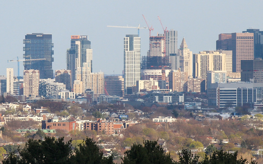

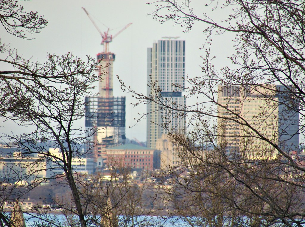 IMG_7782