You are using an out of date browser. It may not display this or other websites correctly.
You should upgrade or use an alternative browser.
You should upgrade or use an alternative browser.
Aerials
- Thread starter Mike
- Start date
New Cambridge aerials:
http://www.lesvants.com/stock/Cambridge/Cambridge_2011/Cambridge_May_2011/index.htm
http://www.lesvants.com/stock/Cambridge/Cambridge_2011/Cambridge_May_2011/index.htm
found a bunch of aerials taken a few days ago on flickr:
http://www.flickr.com/photos/earbooker/page2/
http://www.flickr.com/photos/earbooker/
http://www.flickr.com/photos/earbooker/page2/
http://www.flickr.com/photos/earbooker/
found a bunch of aerials taken a few days ago on flickr:
http://www.flickr.com/photos/earbooker/page2/
http://www.flickr.com/photos/earbooker/
AMAZING!!! These should not be missed!
Boston02124
Senior Member
- Joined
- Sep 6, 2007
- Messages
- 6,936
- Reaction score
- 7,088
very nice^ we sure have a beautiful city! thanks for posting!
This is an older pic from the same photo-thread that Mike posted. Boston and Providence in the same shot!!!!!!!! http://www.flickr.com/photos/earbooker/4861295126/in/photostream/lightbox/
BostonUrbEx
Senior Member
- Joined
- Mar 13, 2010
- Messages
- 4,346
- Reaction score
- 140
This is an older pic from the same photo-thread that Mike posted. Boston and Providence in the same shot!!!!!!!! http://www.flickr.com/photos/earbooker/4861295126/in/photostream/lightbox/
Wow, that's incredible! I had no idea that was even possible. Even with considerable altitude.
gooseberry
Active Member
- Joined
- Nov 24, 2009
- Messages
- 550
- Reaction score
- 3
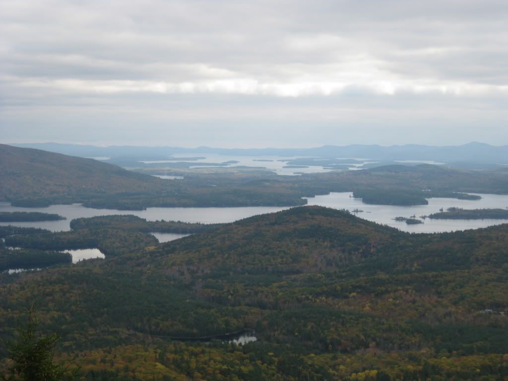
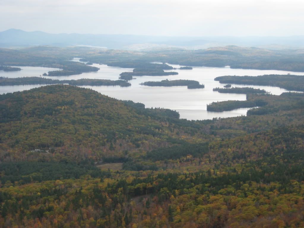
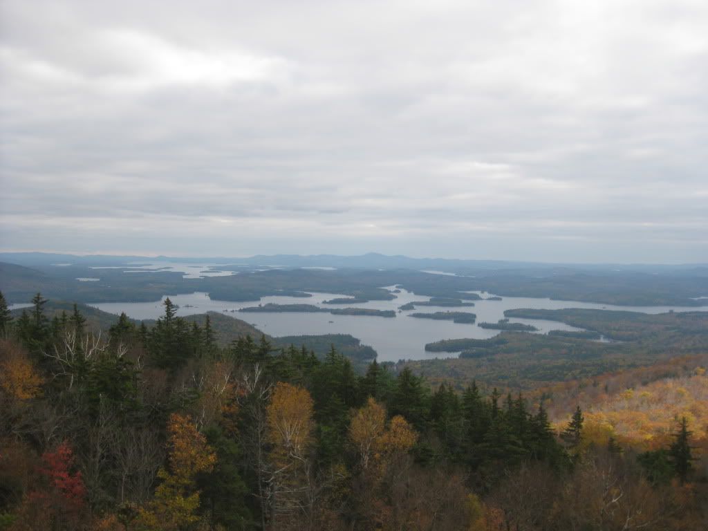
Sure, you can see Boston from Mt Monadnock which is 20 miles further and only 3100 ft up.
http://www.flickr.com/photos/27036710@N05/4089479773/
http://www.flickr.com/photos/27036710@N05/4089479773/
stellarfun
Senior Member
- Joined
- Dec 28, 2006
- Messages
- 5,726
- Reaction score
- 1,586
Very recent photograph of Harvard campus.
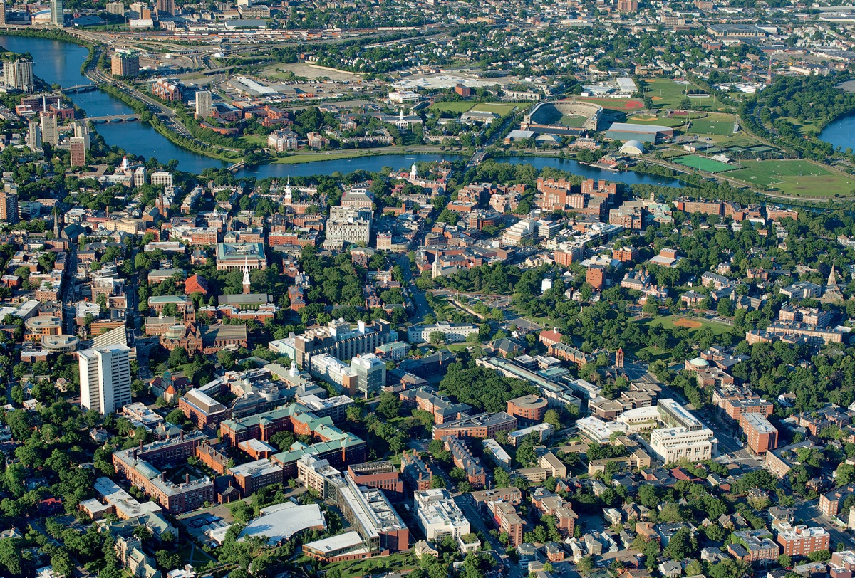
From:
http://harvardmagazine.com/2011/09/building-and-buying-a-campus
From:
http://harvardmagazine.com/2011/09/building-and-buying-a-campus
Not sure if this has ever been posted - there are loads of great old aerials here:
http://www.flickr.com/photos/boston_public_library/sets/72157625067458241/detail/
http://www.flickr.com/photos/boston_public_library/sets/72157625067458241/detail/
M. Brown
Active Member
- Joined
- May 25, 2006
- Messages
- 212
- Reaction score
- 0
I don't know if you guys have heard of this site but its just amazing. Its 3d maps by Nokia and they have the most amazing map aerial software I've seen. It looks pretty much real life and they have Boston as one of their first cities to look at. They have some other big names too. Check it out. You may have to download a plug in but it is well worth it.
http://maps.nokia.com/3D/#|42.358561543|-71.05495069|13.82|306.27|57.39|0|5|
http://maps.nokia.com/3D/#|42.358561543|-71.05495069|13.82|306.27|57.39|0|5|
P
Patrick
Guest
Wicked cool idea for this thread -- I love this stuff/vantage point. When we flew to NYC last winter, I snapped a few admittedly less impressive shots of out departure-airport's town, Portland, ME. Although they aren't Boston, I thought the subject matter warranted this post outside of the usual "Greater New England" forum for anyone interested.


JohnAKeith
Senior Member
- Joined
- Dec 24, 2008
- Messages
- 4,366
- Reaction score
- 115
wings up, rings off
whighlander
Senior Member
- Joined
- Aug 14, 2006
- Messages
- 7,812
- Reaction score
- 647
Great stuff!!
BostonUrbEx
Senior Member
- Joined
- Mar 13, 2010
- Messages
- 4,346
- Reaction score
- 140
Prime condo real estate. I can smell the bulldozer exhaust now. Ahh!
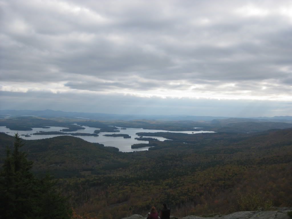
Thanks, it really was beautiful up there. For anyone interested, here is the link to the hike I went on: http://www.hikenewengland.com/MorganPercival060506.html