Four Seasons Tower @ CSC | 1 Dalton Street | Back Bay

what's going on with the site with the red tarps /screening around it behind the smaller tower being built?
 
what's going on with the site with the red tarps /screening around it behind the smaller tower being built?

It's going to be a park/green space, but they're using it as a laydown area during construction.

Hope you're doing well! It's been awhile since we zoomed around town delivering Thanksgiving pies! hahah
 
Not sure whats in them, but they're fairly large.

6NDE7zS.jpg


3DDbrRY.jpg


-dave
 
Was there a gas station on this parcel at some point?
 
Clean em, 're-line em, and repurpose them as part of the groundwater infiltration (recharge) system.
VE in a good way.
 
Clean em, 're-line em, and repurpose them as part of the groundwater infiltration (recharge) system.
VE in a good way.

Seamus -- I suspect that a specialized sub [e.g. Clean Harbors] needs to be brought into the equation now and the big concern is not to contaminate the soil underneath them as they are being removed

If the station predates the fiberglass tank-era -- a good bet given the location -- then the tanks are steel with some sort of exterior coating and the prospects of leaks are quite high

This project might be delayed for weeks or even months if remediation of the soil or removal is required
 
I'd find it hard to believe that they didn't know those were there.

Here's a couple posts from a few pages back:
I work in the Belvidere arcade (101 Belvidere st) on the 4th floor, soon to have my views blocked :( . I'll post photos from time to time.

va995uR.jpg

-
SnVj5fh.jpg


-dave


Crappy cell phone pic but there is a drill back on site


You can see the access covers in the first one, and one of the locations where they did test bores in the second.

Also, from the soil assessment they identified release of fuel oil in the soil here is the link to the section in the PNF.

I would imagine that these conditions have been accounted for and shouldn't affect the schedule.
 
Historic aerials doesn't appear to show a gas station. It was greenspace stretching back to at least 1978. The 1969 and 1971 shots show the Christian Science Center using it as a laydown area. 1955 looks like a parking lot but it could have included a station.
 
I don't think those are tanks from a gas station. They may have to do with groundwater recharge.
 
I don't think those are tanks from a gas station. They may have to do with groundwater recharge.

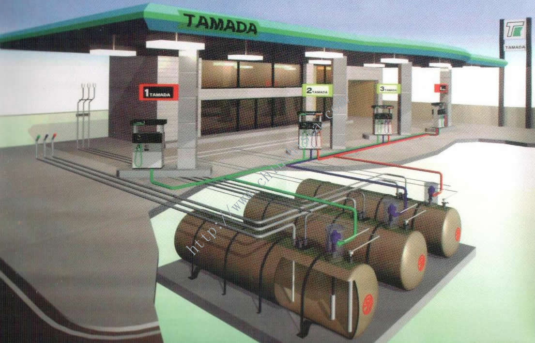
Those are definitely gas tanks.

SF-Double-wall-Tank-Application----Gas-Station.jpg


Highland-Chevron-Tank-Set-4-1-11-005-350x262.jpg


---

From the 1955 aerial

This looks like it could be the gas station and matches up with the location of the tank covers.

EDIT: Incorrect location. See posts below.
EeUmLRA.png


Hmm, from the PNF that was linked to:
"The Site Assessment identified two historical releases, of #2 fuel oil that occurred on the property in the 1990s. These releases (101 Belvidere Street (RTN 3-17859) and 103 Belvidere Street (RTN 3-13688)) have achieved regulatory closure. "
 
Last edited:
The 1938 G. W. Bromley & Co. map shows that there are still a bunch of row houses on the site at this time, but the northwest corner of this triangle is listed as being owned by Gulf Oil Corporation of Pennsylvania.
 
Those are definitely gas tanks.

SF-Double-wall-Tank-Application----Gas-Station.jpg


Highland-Chevron-Tank-Set-4-1-11-005-350x262.jpg


---

From the 1955 aerial

This looks like it could be the gas station and matches up with the location of the tank covers.

EeUmLRA.png


Hmm, from the PNF that was linked to:
"The Site Assessment identified two historical releases, of #2 fuel oil that occurred on the property in the 1990s. These releases (101 Belvidere Street (RTN 3-17859) and 103 Belvidere Street (RTN 3-13688)) have achieved regulatory closure. "

Doesn't quite line up though.

qYKLGhC.png
 
Ah ok, thanks for pointing that out. My bad then. I didn't notice the triangle shrunk considerably for the CSC Colonnade Building.

I didn't know you could do that with HistoricAerials. Neat.

The 1938 G. W. Bromley & Co. map shows that there are still a bunch of row houses on the site at this time, but the northwest corner of this triangle is listed as being owned by Gulf Oil Corporation of Pennsylvania.

Thanks for that research!

Bromley 1938:
cWzSos5.png


Bromley 1928:
Same in 1928, but Gulf didn't own it.
HUY58vu.png
 
Last edited:
I believe the tanks date from the rebuild of the plaza in the early 70's.

I don't think they are gas tanks, i think they are oil tanks for fueling the HVAC of the Christian Science Center, no longer used.

There were oil fill ports in the park when I used to live in the area 10 years ago.
 
I believe the tanks date from the rebuild of the plaza in the early 70's.

I don't think they are gas tanks, i think they are oil tanks for fueling the HVAC of the Christian Science Center, no longer used.

There were oil fill ports in the park when I used to live in the area 10 years ago.

Jeff -- looks like you are correct -- Fuel oil for the Christian Science complex heating system -- certainly fits all the evidence including the current demolition picture -- the tanks are definitely fiberglass and that's a recent development for tanks

All in all -- it seems that this was an anticipated situation -- construction should be on schedule outside of the effects of the weather
 

Back
Top