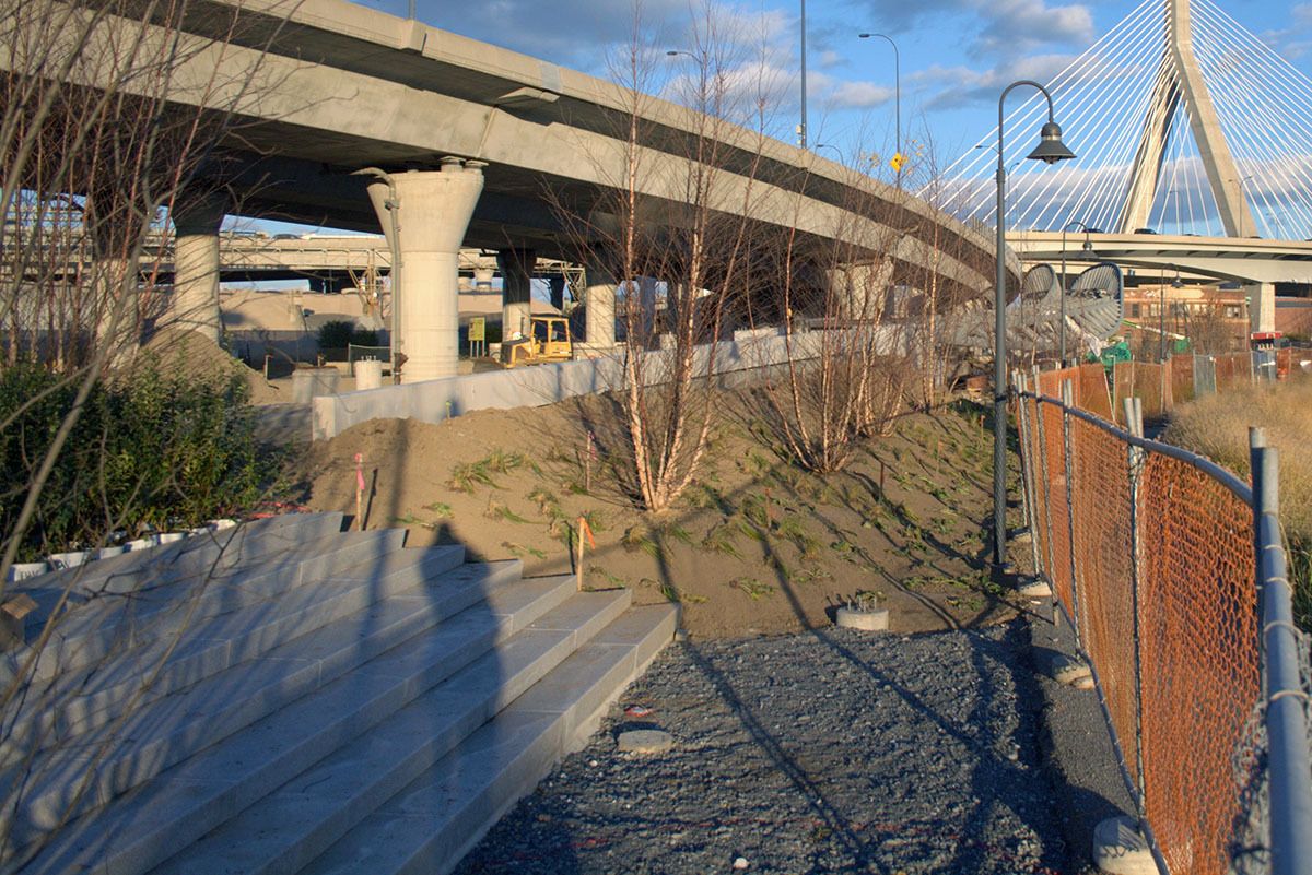
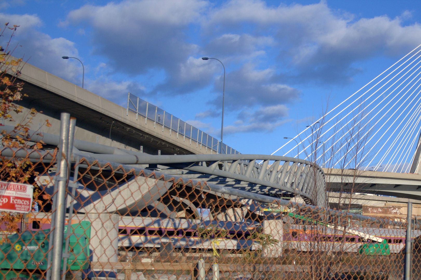
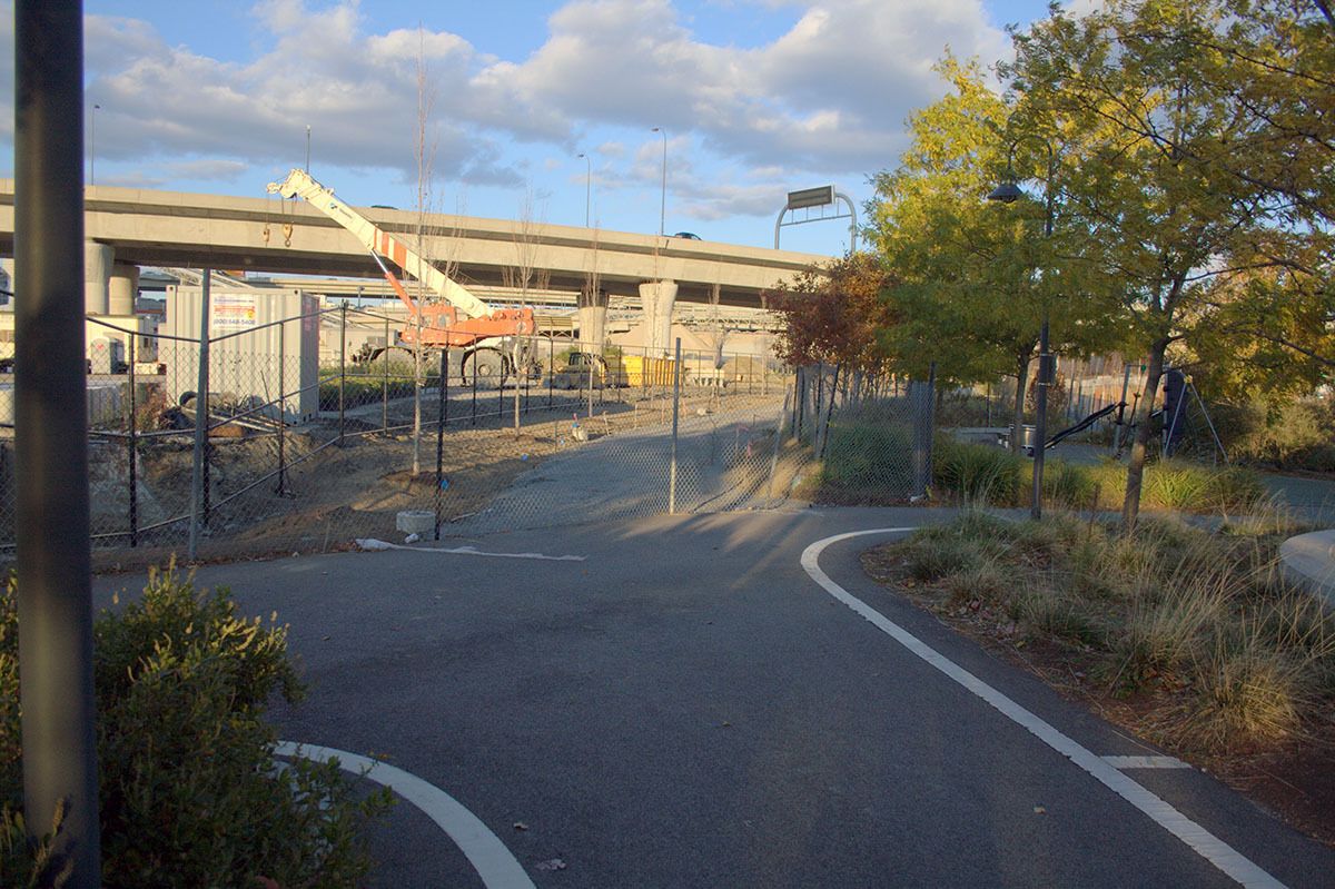
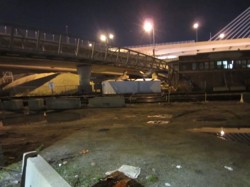
Yes, it will. Finally removing the abrupt end to that path.
That "path to nowhere" has been a thorn in my side for a long time, a complete waste of money buying those unique light fixtures just to see them waste away unlit and unused.
Yes, it will. Finally removing the abrupt end to that path.
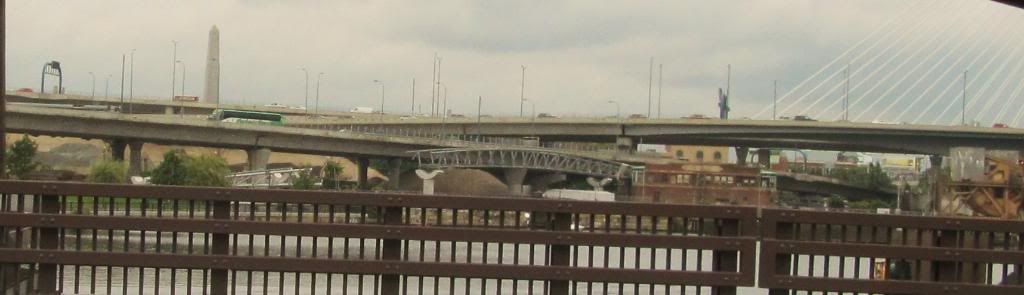
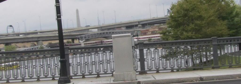
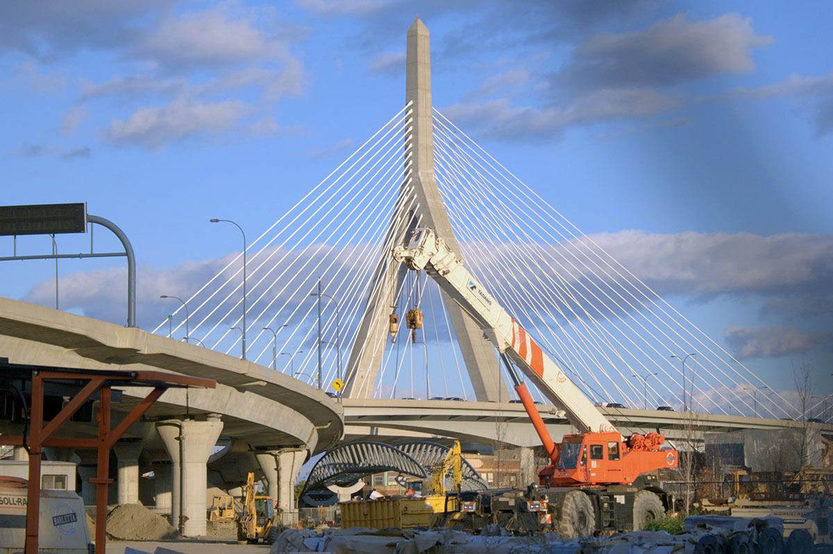
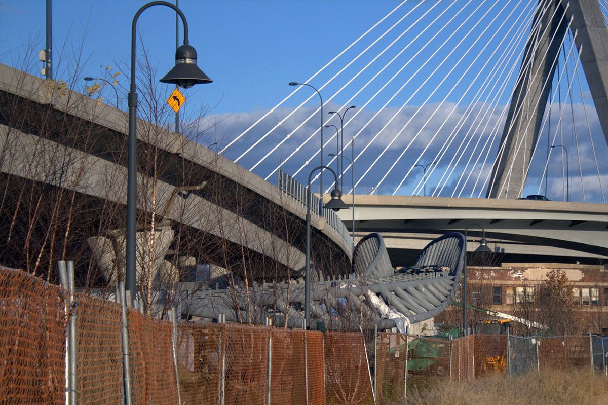
If this country wasn't borrowing 40 cents on the dollar I'd say 100% this bridge is cool as hell, but in the context of budget cuts, painfully I got to call it what it is... pork. There is already a way to get from East Cambridge to Charlestown on foot. And again it looks really cool, but it costs extra money to make a bridge have the structural strength to carry freight trains when all it will bear is a trickle of people.
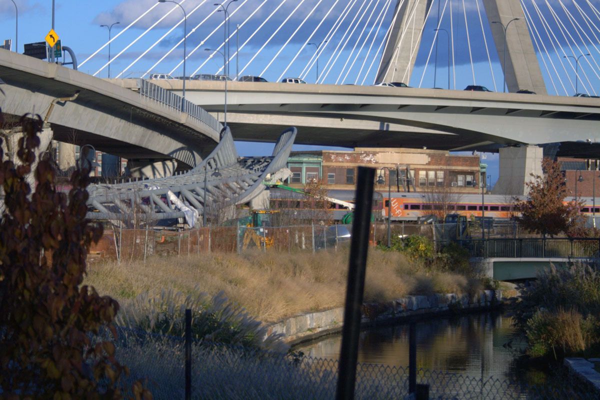
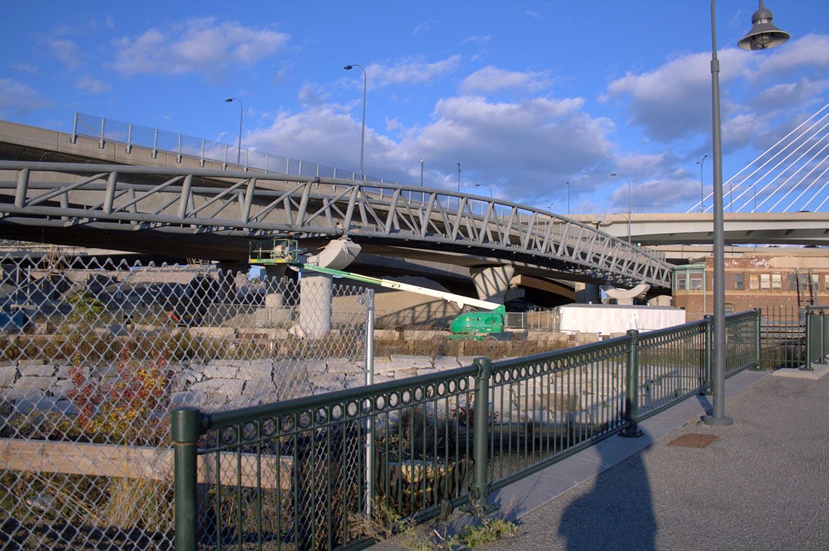
Are they going to get the bridge deck done by winter, or is it only steelwork finish-up until Spring?
I am thinking of moving to charlestown and the only reason i am giving it serious consideration is because with this bridge i would be a awesome 10 minute walk from my office in east cambridge. crossing the tracks and the North Point Park for a commute gives you plenty to look at. Can't wait for it to open. Spring 2012?
A time-lapse video of the one-site placement of the bridge's sections:
Here is an interview with the Bridge's planner (broken into two videos) as posted on YouTube: